Where Is Gulmarg Located? A Practical Guide
Understanding the geography of this Himalayan outpost before you travel.
Curious where is gulmarg located in India map? We break down its altitude, proximity to Srinagar, and what you need to know about the terrain.
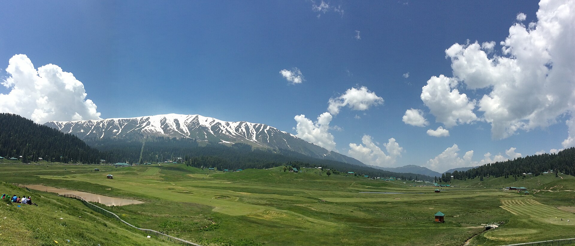
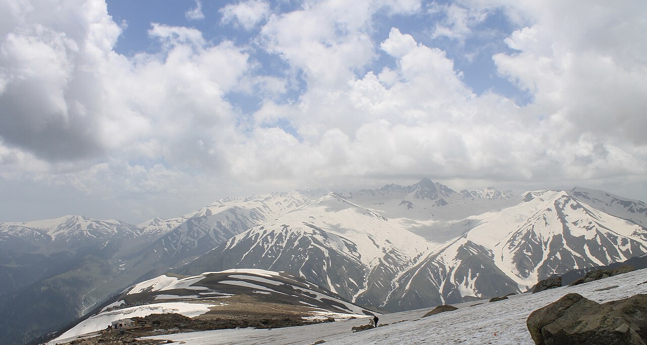
The sprawling meadows of Gulmarg look out towards the higher peaks of the Pir Panjal.Photo: Aishparth · CC BY-SA 4.0
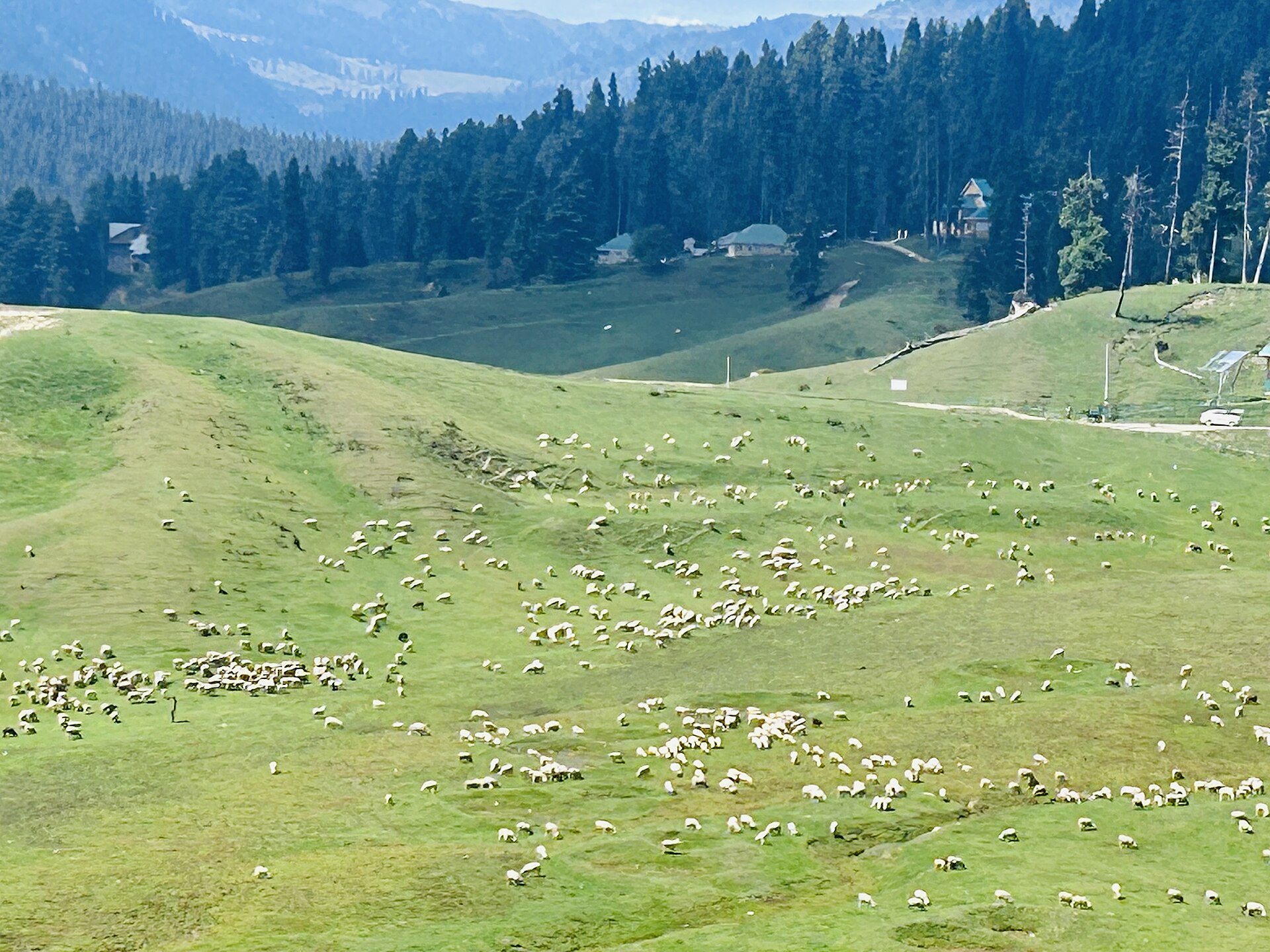
The first time I drove up the winding road from Tangmarg, the air thinned perceptibly, and the dark pine forests suddenly opened into a vast, rolling meadow. It is a moment that catches most travellers off guard, changing the landscape from the humid plains of the Kashmir Valley to the sharp, crisp atmosphere of the high mountains.
If you are wondering where is gulmarg located in India map, look towards the northwestern corner of the country. Tucked into the Pir Panjal range in the Baramulla district, it sits like a natural amphitheatre high above the main valley floor. Knowing where it sits geographically is the first step to planning a trip that makes sense for your lungs and your legs.
Geographical Location of Gulmarg
Gulmarg is not just a town; it is a high-altitude bowl situated roughly 50 kilometres from Srinagar. You will find it nestled at the northern tip of the Pir Panjal range. While most of the Kashmir valley feels like a flat basin surrounded by peaks, Gulmarg sits on a plateau that keeps it distinct from the lower towns.
When you look at a map, you are essentially looking at the gateway to the Line of Control, though the tourist zone is strictly controlled and peaceful. It belongs to the Baramulla district, and the road infrastructure is maintained primarily to keep this hill station accessible year-round, despite the heavy snowfall that can block other mountain passes.
Elevation and Surrounding Himalayan Ranges
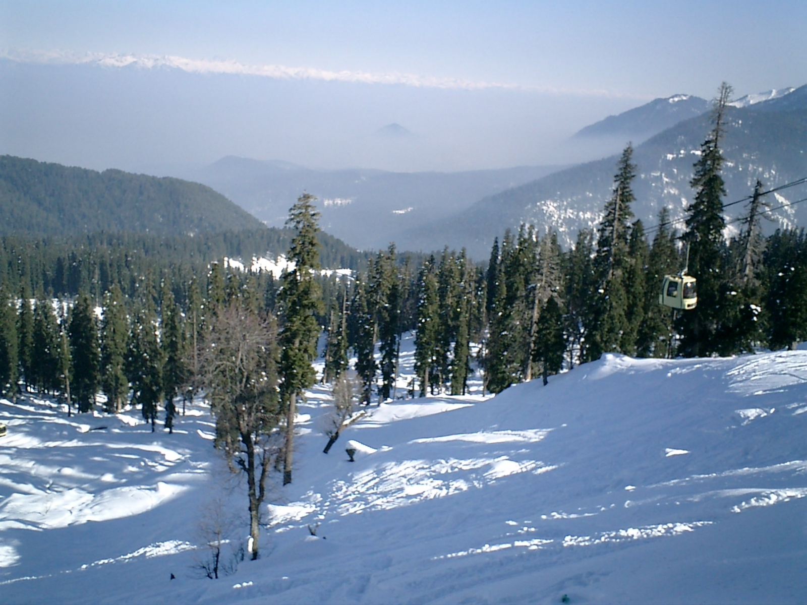
The altitude here is significant. The main meadow sits at roughly 2,650 metres, or about 8,690 feet. However, the Gondola takes you much higher. The second phase reaches nearly 4,000 metres on the shoulder of Mount Apharwat.
Because of this, you should never treat Gulmarg as a low-altitude stop. If you fly directly into Srinagar and drive up the same day, you will feel the pressure in your ears and perhaps a light headache. Give yourself time to adjust to the elevation before attempting any serious hiking or the upper reaches of the cable car.
Proximity to Srinagar and Key Landmarks
Getting to Gulmarg from Srinagar usually takes about two to two and a half hours, depending on traffic in Tangmarg. Tangmarg is the final town where the road starts its steep ascent, and it is where many drivers stop for tea or to fit snow chains on the tyres if the weather has turned.
You are not far from other regional markers. Wular Lake lies to the north, though you cannot see it from the town, and the main Srinagar airport is the most common arrival point. It is a classic mountain commute where the transition is defined by the road gradient.
Understanding the Terrain: Bowl vs Peak
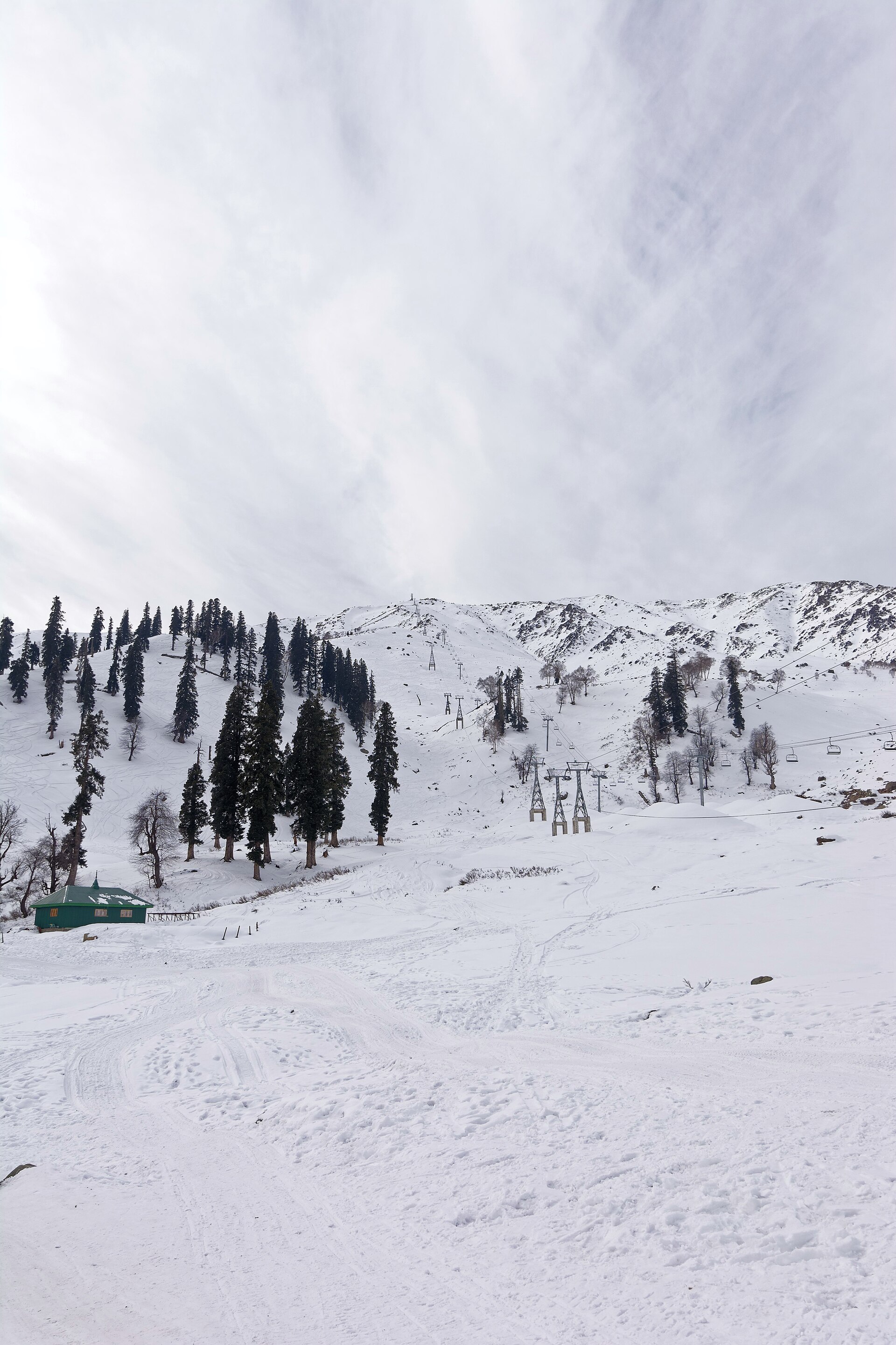
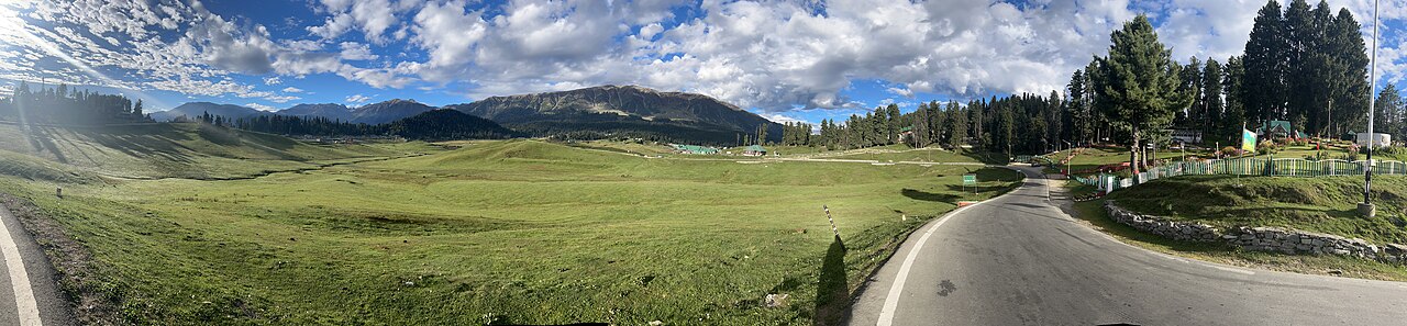
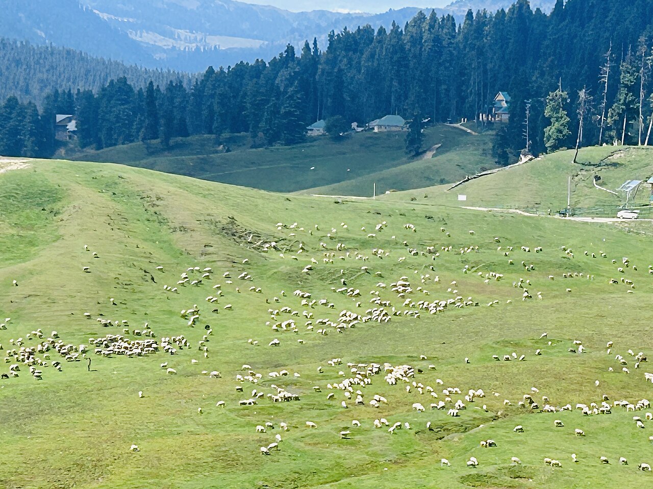
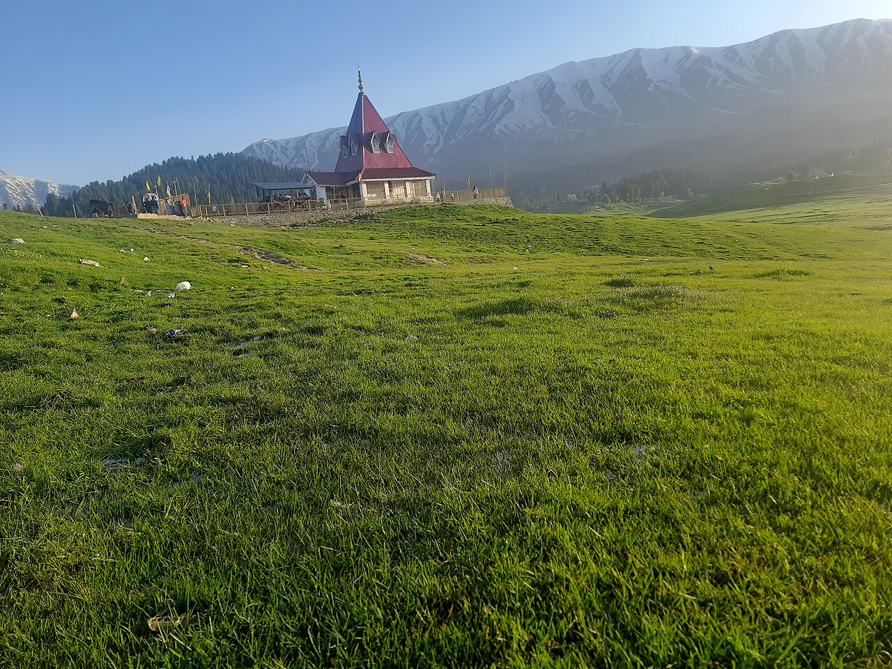
The town is a large, grassy meadow that functions like a natural bowl. In winter, this becomes a deep snow basin, but in summer, it is a rolling green field. This bowl is where all the hotels, shops, and the main golf course are situated.
Beyond this, the terrain changes rapidly. To the west, the mountains rise sharply toward the peaks of the Pir Panjal. This is not a town built on a cliffside, but rather a plateau sheltered by higher ridges, which is precisely why it holds snow so well for skiing.
How Altitude Impacts Climate Throughout the Year
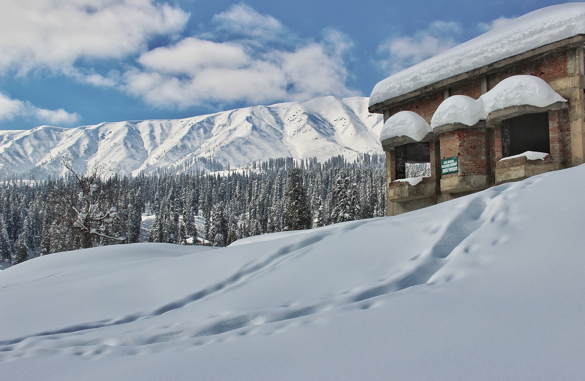
Because of the altitude, the temperature here is consistently 5 to 8 degrees cooler than in Srinagar. In January and February, you are dealing with sub-zero temperatures and several feet of snow on the ground. The wind off the Apharwat peak can be biting even in June.
I always tell our clients to carry layers. You might start a morning in a heavy jacket and be down to a sweater by midday, only to need that jacket again as soon as the sun dips behind the ridge at 4:00 PM.
Before you book
Understanding where Gulmarg is located is about more than just finding it on a map; it is about grasping the scale of the landscape. It is a high-altitude shelf in the Pir Panjal that demands respect for its weather and its terrain.
Whether you are planning for a winter ski trip or a summer escape from the heat, the geography here defines your entire experience. Let us know if you need help with logistics or transport to get you there safely.
Planning your trip?
We have spent years navigating the roads from Srinagar to the snow-covered slopes. Reach out if you need advice on the best timing or transport.
Contact UsWritten by
Kashmir, Jammu & Ladakh specialists
We plan and run trips across Kashmir, Jammu and Ladakh every week of the year. Everything here comes from routes we drive, stays we inspect and questions our travellers actually ask.
Quick answers
Questions we get asked
Is Gulmarg dangerous due to its location?
Gulmarg is a well-established tourist destination and is very safe for visitors. It is heavily monitored, and the tourist zone is separate from sensitive areas, making it a reliable spot for year-round travel.
Do I need special gear for the altitude?
For most visitors staying in the main bowl, you do not need climbing gear. However, dress in layers. If you plan to go to the second phase of the Gondola, carry a heavy windproof jacket even in summer.
Photography credits
- Photo: Aishparth · CC BY-SA 4.0
- Photo: Mohamad Talib Bhat · CC BY-SA 3.0
- Photo: Sara Kothari · CC BY-SA 4.0
- Photo: Harvinder Chandigarh · CC BY 4.0
- Photo: Deepank Ranka · CC BY-SA 4.0
- Photo: Harvinder Chandigarh · CC BY 4.0
- Photo: Tej2306 · CC BY-SA 4.0