Planning Your Trip: Distance to Achabal Garden
A complete breakdown of travel times, road routes, and logistics for your journey.
Calculate the exact achabal garden distance from Srinagar and surrounding hubs. Get practical road advice for South Kashmir travel.
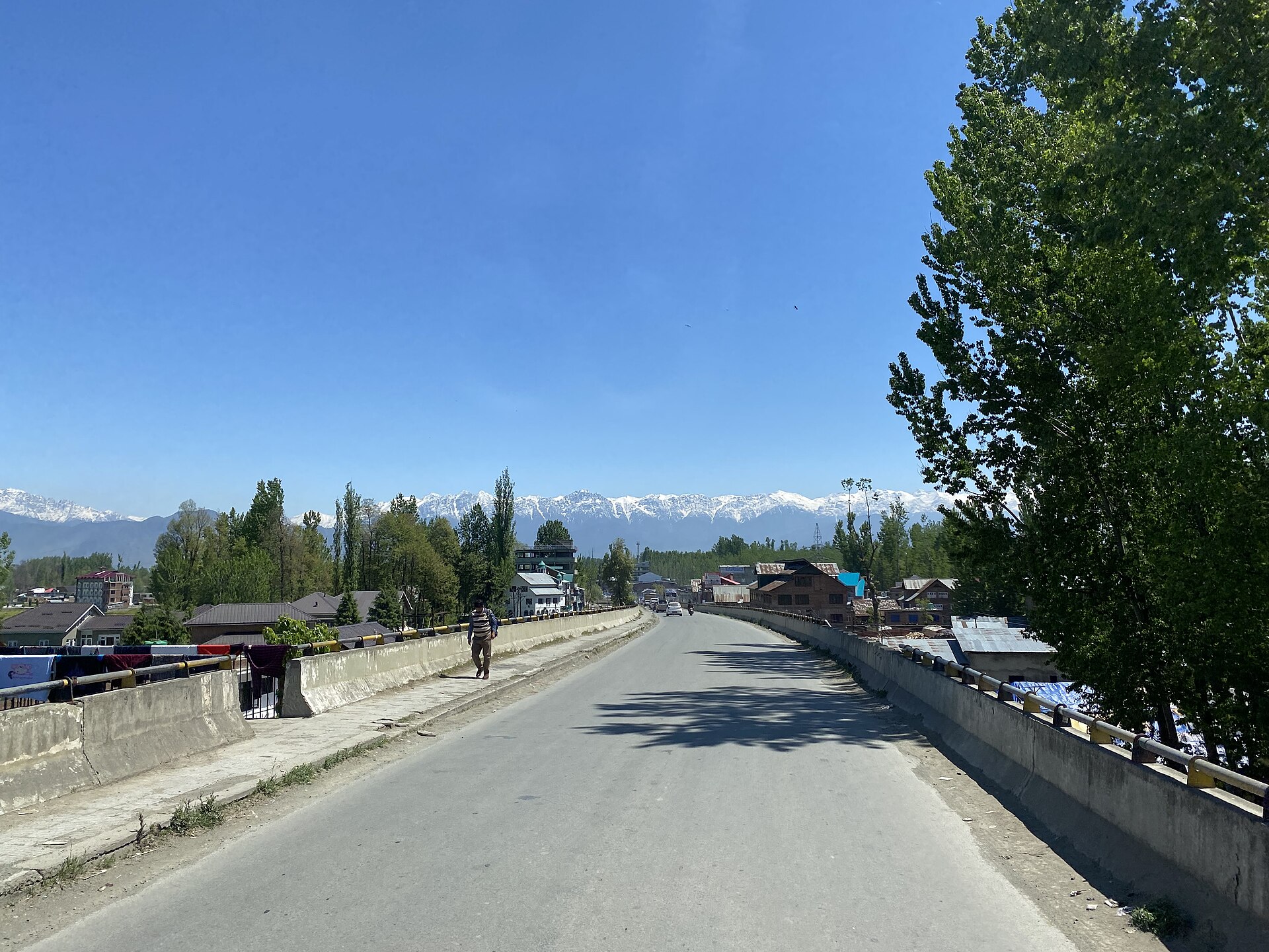
The smooth highway connecting Srinagar to the southern districts of the valley.Photo: Vinayaraj · CC BY-SA 4.0
Numbers on a map rarely tell the full story of driving through the valley. When calculating the achabal garden distance from your starting point in Srinagar, you need to factor in morning traffic leaving the city, highway construction points, and the irresistible urge to stop for tea along the roadside.
South Kashmir offers some of the most relaxed driving conditions in the region, provided you time your departure correctly. The route takes you past fields of saffron, apple orchards, and historic towns that deserve a glance rather than a blur.
Whether you are planning a standalone day trip or linking multiple water gardens together, understanding the mileage and transit times makes all the difference. Here is your practical breakdown for hitting the road.
Calculating Distance from Srinagar
The direct achabal garden distance from central Srinagar measures approximately sixty-five kilometres when taking the primary national highway corridor southward. Most private vehicles and hired cabs cover this stretch in roughly one hour and forty-five minutes under normal conditions.
You will exit Srinagar via Panthachowk, cross the Zewan bypass or stay on NH44, and head straight down towards Anantnag. The highway is wide and divided for most of the way, making for an easy cruise past Pampore.
As you approach Khanabal junction just before entering Anantnag town, you will take a left turn onto the internal district roads that lead directly to the garden gates.
- Total distance from Srinagar: ~65 kilometres
- Standard driving time: 1.5 to 2 hours
- Main artery: National Highway 44 via Pampore and Anantnag
Travel Duration by Road
While the kilometres may seem short, road conditions and local town bottlenecks dictate your actual travel duration. Peak hours around Anantnag market can add twenty minutes to your final approach.
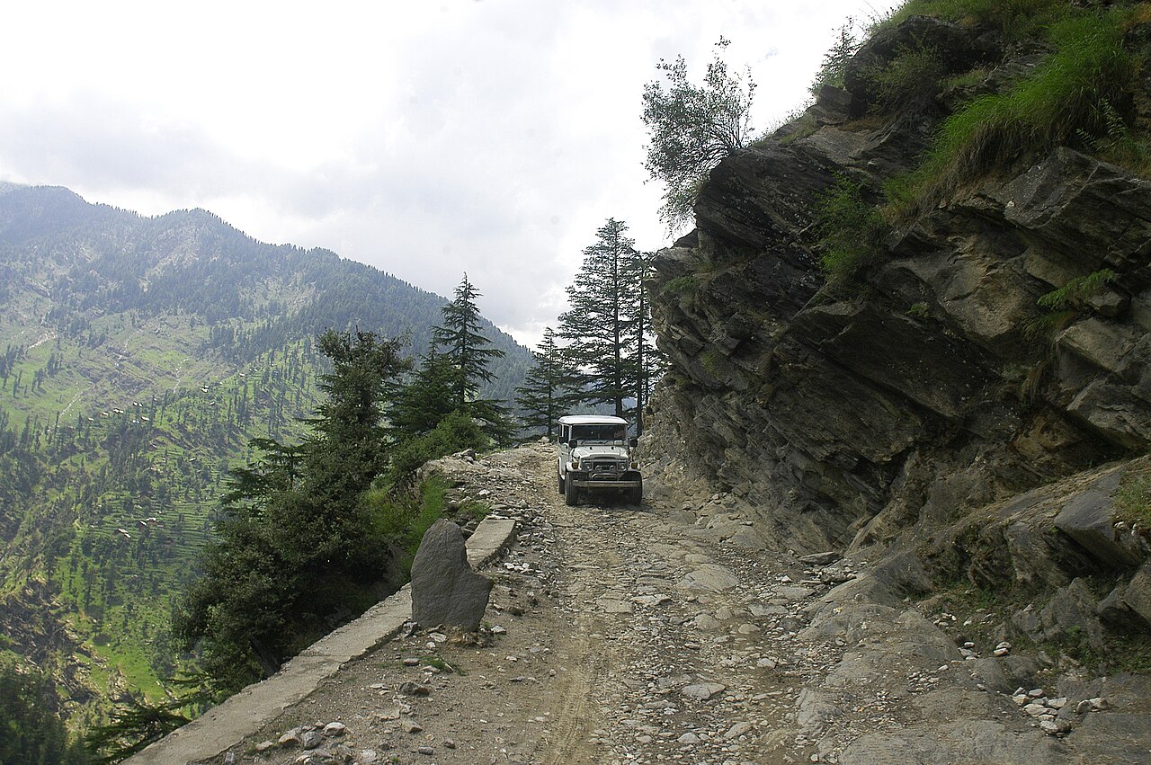
If you are travelling from Pahalgam, the distance is shorter—around forty kilometres—taking you through rolling pastoral country and small roadside villages. The drive from Jammu in the south is significantly longer, spanning over two hundred kilometres across the challenging Jawahar Tunnel and Banihal pass.
We always advise our guests not to judge travel times purely by distance calculators on mobile phones, as mountain roads and local diversions often add unexpected minutes.
Combining a Trip with Kokernag and Verinag
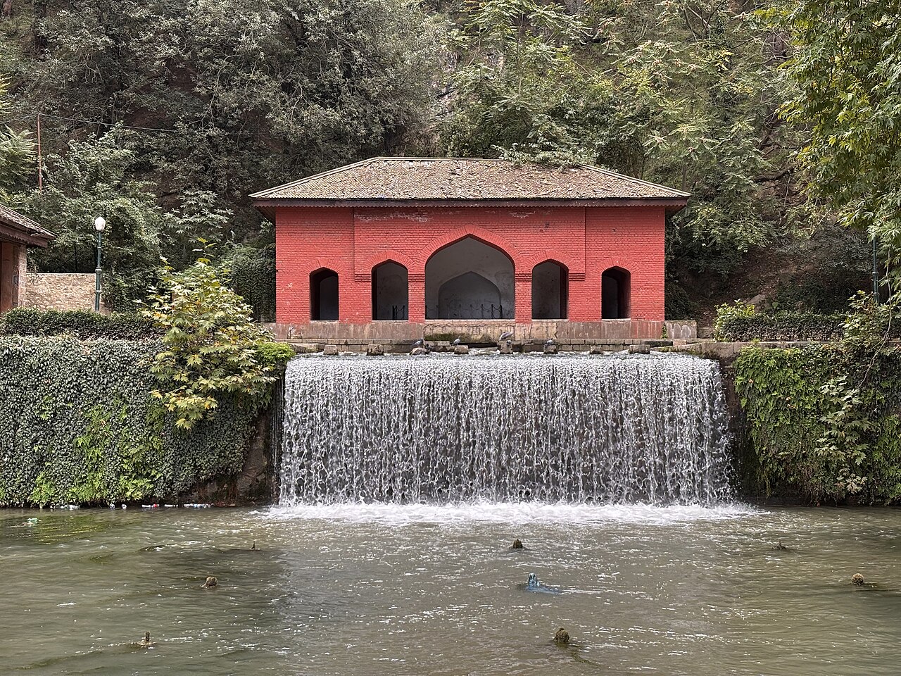
For travellers looking to maximise their day, linking Achabal with Kokernag and Verinag creates a seamless loop across South Kashmir. The distance between Achabal and Kokernag is about twenty-five kilometres along pleasant country lanes.
From Kokernag to Verinag, you will travel another twenty kilometres south, completing a triangle that showcases the finest Mughal landscaping in the region. Total driving time for the entire circuit, excluding stopovers, sits around two and a half hours.
This loop allows you to spend a leisurely hour at each garden, enjoy fresh trout for lunch near Kokernag, and still return to your base before sunset.
Suggested Circuit Itinerary
Start early from Srinagar, arrive at Achabal by mid-morning for a quiet walk, then drive to Kokernag for lunch by the streams. Finish your afternoon at Verinag before taking the highway back north.
This pacing ensures you experience each site without feeling rushed behind the steering wheel.
Route Planning Tips for South Kashmir
Navigating the secondary roads of Anantnag district requires patience and a good local driver who knows the unmarked speed breakers and diversion points.
Keep some cash handy for minor tolls and roadside purchases, as digital payment acceptance can be patchy in smaller rural hamlets. It is also wise to download an offline map, though local signposts are generally clear once you leave the highway.
If you are renting a self-drive car, ensure the vehicle has adequate ground clearance for occasional uneven patches near construction zones.
Road Conditions and Travel Advice
The primary tarmac connecting Srinagar to Anantnag is smooth and well-maintained by the highway authorities. However, interior roads leading directly to Achabal can feature sudden potholes after heavy winter rains.
Driving during autumn offers brilliant foliage views along the avenue trees, while summer provides clear skies and dust-free air. Winter travel is entirely possible, though snow clearance operations on minor roads can occasionally cause brief delays.
Plan your journey with a buffer of at least thirty minutes to account for photography stops and chai breaks along the route.
Before you book
Mapping out your travel times transforms a stressful transit into an enjoyable part of your holiday. Knowing the distances and road conditions lets you pace your day properly and savour the changing landscapes of South Kashmir.
If you would like us to arrange comfortable private transport and expert drivers for your day trip to Achabal, feel free to reach out to our team at Skywale Packages.
Book Your Valley Transport
Let our experienced local drivers take you safely through the scenic routes of South Kashmir.
Contact UsWritten by
Kashmir, Jammu & Ladakh specialists
We plan and run trips across Kashmir, Jammu and Ladakh every week of the year. Everything here comes from routes we drive, stays we inspect and questions our travellers actually ask.
Quick answers
Questions we get asked
What is the driving distance from Srinagar to Achabal Garden?
The driving distance is about 65 kilometres, usually taking between 1 hour 45 minutes and 2 hours depending on traffic conditions.
Can I visit Achabal as a day trip from Srinagar?
Yes, it makes an excellent day trip, allowing ample time to explore the terraces and return to Srinagar by evening.
How far is Achabal from Pahalgam?
Achabal is roughly 40 kilometres from Pahalgam, making it a convenient detour or stopover for travellers moving between the hill station and the valley floor.
Are the roads safe for self-driving?
Yes, the main highways are well-paved, but hiring a local driver is often recommended to navigate minor rural junctions and local traffic more comfortably.
Photography credits
- Photo: Vinayaraj · CC BY-SA 4.0
- Photo: KahkashaaN · CC BY-SA 4.0
- Photo: Afzaal Shafi · CC BY-SA 3.0
- Photo: KahkashaaN · CC BY-SA 4.0
- Photo: KahkashaaN · CC BY-SA 4.0
- Photo: KahkashaaN · CC BY-SA 4.0
- Photo: TheAafi · CC BY-SA 4.0