Planning a Trip from Pangong Tso to Tso Moriri
Ready for the ultimate high-altitude road trip? We guide you through the rugged, beautiful route connecting Pangong Tso to Tso Moriri.
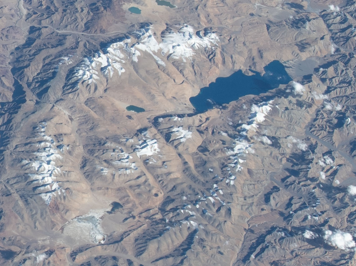
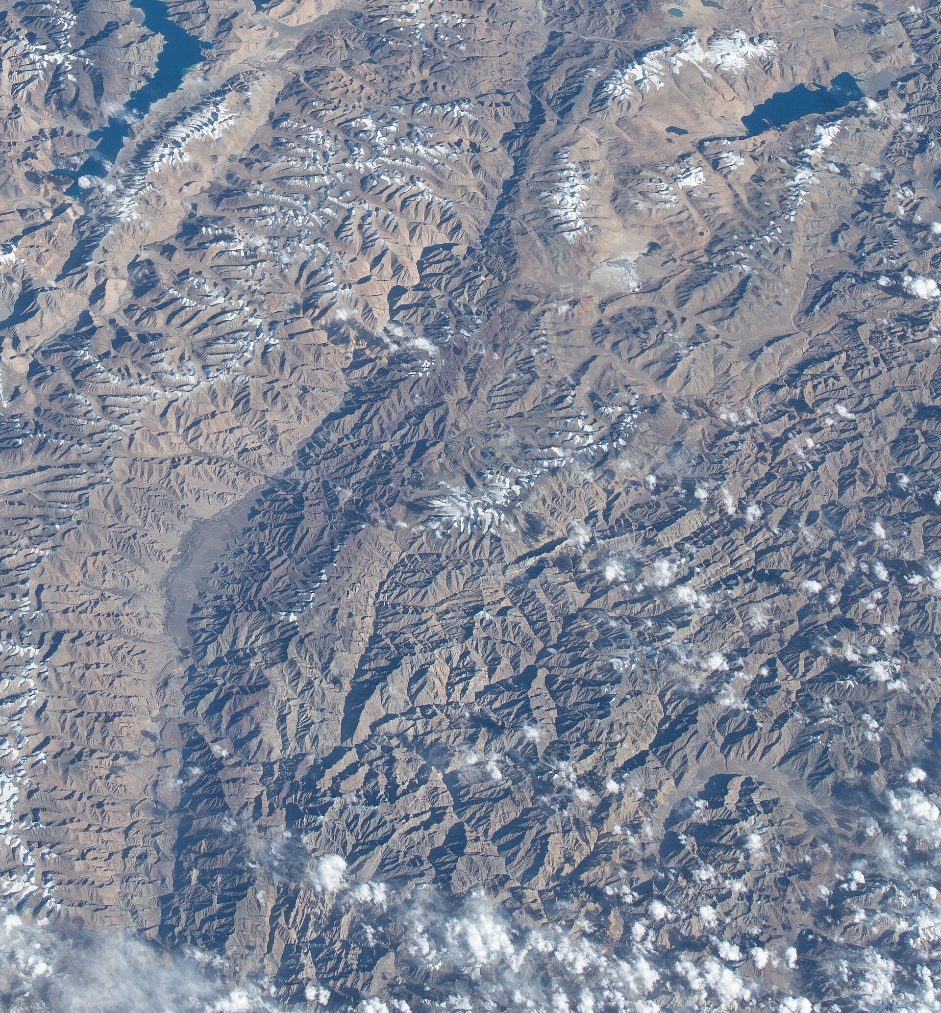
The road between the lakes is a rugged, beautiful challenge.Photo: Earth Science and Remote Sensing Unit , Lyndon B. Johnson Space Center · Public domain
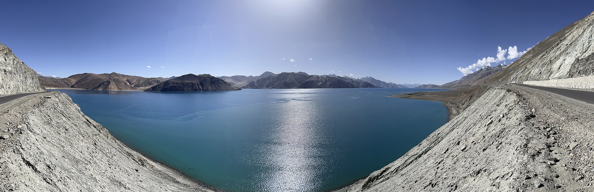
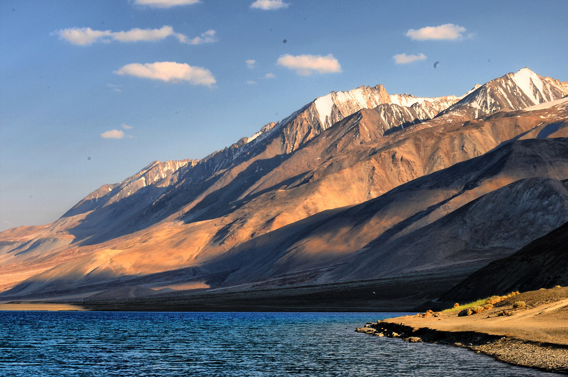
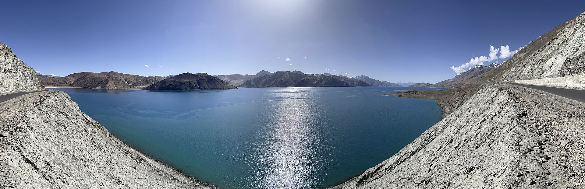
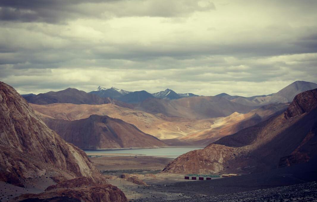
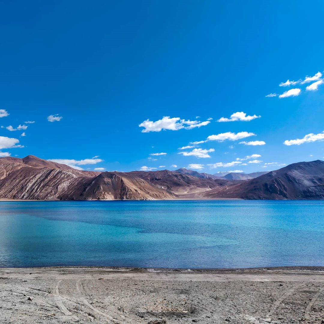
The road between Pangong Tso and Tso Moriri is not for the faint of heart, but for those who make it, it is the defining drive of Ladakh. This is not a route you take for convenience. You take it because you want to disappear into the vast, brown, and ochre landscape of the Changthang plateau.
When we help clients draft a pangong to tso moriri itinerary, we are essentially planning a multi-day expedition. You are moving through one of the highest, most sparsely populated corners of India. You need to be prepared for bad roads, thin air, and a beauty that feels almost extraterrestrial.
The route between the two lakes
The most common route is the direct cross-country track, but don't let the word 'track' fool you. It is often a dirt path that winds through riverbeds and mountain passes. It covers roughly 250 to 300 kilometres, but do not look at this in terms of driving time. A trip that takes 4 hours on a map will take 10 hours in reality.
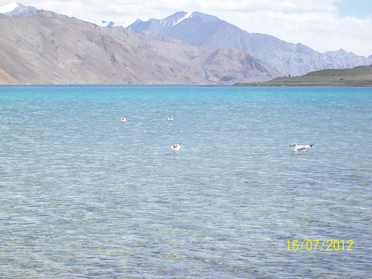
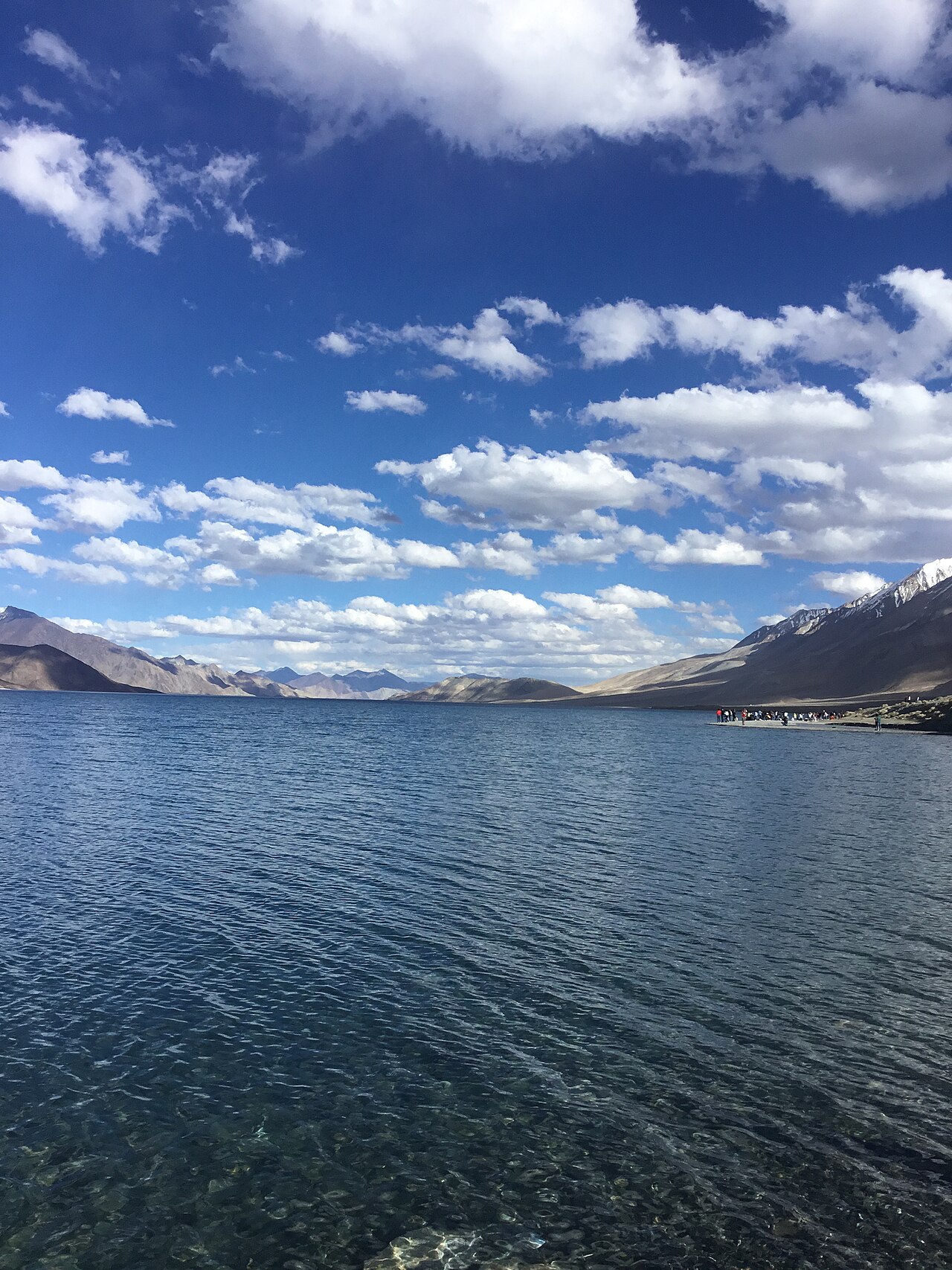
You will pass through places like Chushul, Rezang La, and Hanle. The landscape changes constantly, from the deep blue of the lakes to the stark, lunar surface of the high desert. You are effectively driving along the border, which brings its own unique atmosphere to the journey.
Required permits for the circuit
Because this route runs close to the Line of Actual Control, paperwork is non-negotiable. You need an Inner Line Permit (ILP) that specifically covers the remote areas like Chushul, Hanle, and the area around Tso Moriri.
We handle these for our guests well in advance. If you are doing this on your own, apply for the permit in Leh at the DC office. Make sure you have at least ten printed copies. You will be asked for them at multiple checkpoints along the way, and the officers will keep one copy at each stop. Don't be the person left stranded because you forgot to print enough copies.
Typical travel time and stops
Do not try to do this in a single day. It is physically punishing and denies you the chance to actually see anything. We recommend a three-day plan: Pangong to Hanle, and then Hanle to Tso Moriri.
Hanle is a highlight. It is home to an observatory and feels like the end of the world. Stopping here allows you to rest and acclimatise properly before hitting the high passes again on the way to Tso Moriri. It breaks up the drive so you aren't spending your entire holiday in the backseat of a Bolero.
- Day 1: Pangong Tso to Chushul/Hanle (long, slow drive).
- Day 2: Explore Hanle and the observatory.
- Day 3: Hanle to Korzok (the village at Tso Moriri).
Accommodation options along the way
Expect basic, functional, and very cold. You aren't going to find luxury resorts on this circuit. Most accommodation consists of homestays or simple guest houses. The heat is usually provided by a single stove in a common room, and the electricity might be limited to a few hours in the evening.
However, staying in a local home is part of the charm. You get warm butter tea, simple food like Thukpa, and a glimpse into how the nomadic communities of the Changthang region live. It is authentic, quiet, and beautiful.
Essential preparation for remote driving
Your vehicle is your lifeline. We insist that all our vehicles on this route are 4x4s with experienced local drivers. Never attempt this in a low-clearance car. You will be crossing small streams and driving over loose rock; you need a vehicle that can take the abuse.
Carry extra fuel in jerry cans, even if your tank seems full. You will not find petrol pumps once you leave the main highway. We also pack extra rations, water, and basic tools. Being self-sufficient is the golden rule of remote Ladakh travel. If you have a flat tyre, you need to know how to change it, or have a driver who can do it in ten minutes in the wind.
Before you book
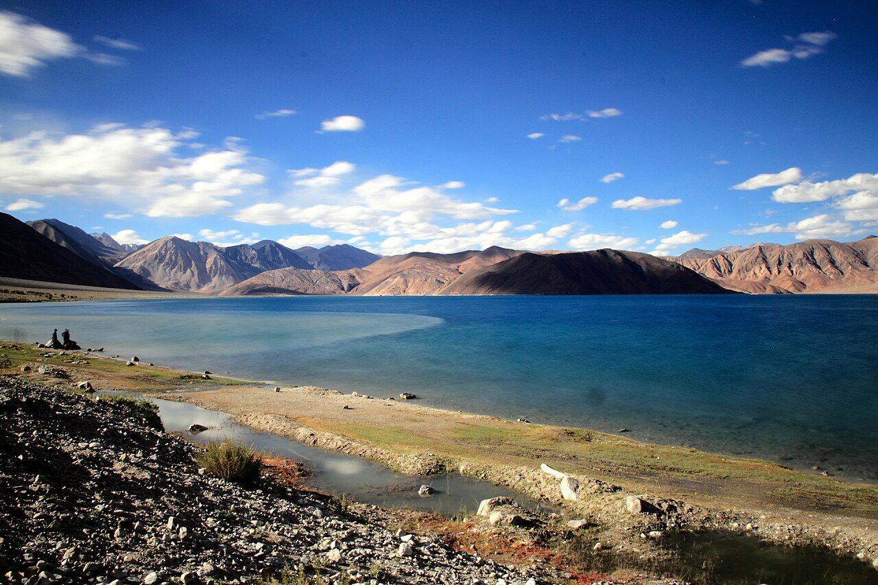
This circuit is the true test of a traveller's grit, and it rewards those who prepare with sights that few others ever witness. The silence of the plateau, the changing colours of the water, and the immense scale of the mountains are worth every bump in the road.
If you want to experience this route but don't want the stress of logistics, we are here. We manage the drivers, the permits, and the homestays so you can simply look out the window and enjoy the ride.
Planning your dream Ladakh expedition?
Let us take care of the details. We specialise in remote circuits and safe, reliable transport.
Chat with our teamWritten by
Kashmir, Jammu & Ladakh specialists
We plan and run trips across Kashmir, Jammu and Ladakh every week of the year. Everything here comes from routes we drive, stays we inspect and questions our travellers actually ask.
Quick answers
Questions we get asked
Can I drive this route myself?
Technically, yes, but we strongly advise against it unless you are highly experienced with high-altitude, off-road driving. The terrain is unpredictable.
When is the best time for this trip?
June to September is the window. Outside of these months, the passes can be blocked by snow and temperatures drop to dangerous levels.
Is there mobile connectivity?
Expect very limited to no connectivity. You will be completely off the grid for large stretches, which is part of the appeal.
What should I pack?
Bring layers. Even in summer, the temperatures drop significantly at night. Also, bring a robust power bank and a physical map.
Is Tso Moriri at a higher altitude than Pangong?
Yes, Tso Moriri is slightly higher at approximately 4,522 metres, which makes proper acclimatisation even more vital.
Photography credits
- Photo: Earth Science and Remote Sensing Unit , Lyndon B. Johnson Space Center · Public domain
- Photo: Earth Science and Remote Sensing Unit , Lyndon B. Johnson Space Center · Public domain
- Photo: 16paruljain · CC BY-SA 4.0
- Photo: Akbarmasood · Public domain
- Photo: ThePoeticFrame · CC BY-SA 4.0
- Photo: Hritik412000 · CC BY-SA 4.0
- Photo: Fulvio Spada from Torino, Italy · CC BY-SA 2.0