Leh to Tso Moriri Route: Itinerary Planning for Travellers
Essential guide for navigating the high-altitude wilderness of Eastern Ladakh.
Planning your drive from Leh to Tso Moriri requires preparation. Learn the best routes, road conditions, and logistical requirements for this remote journey.
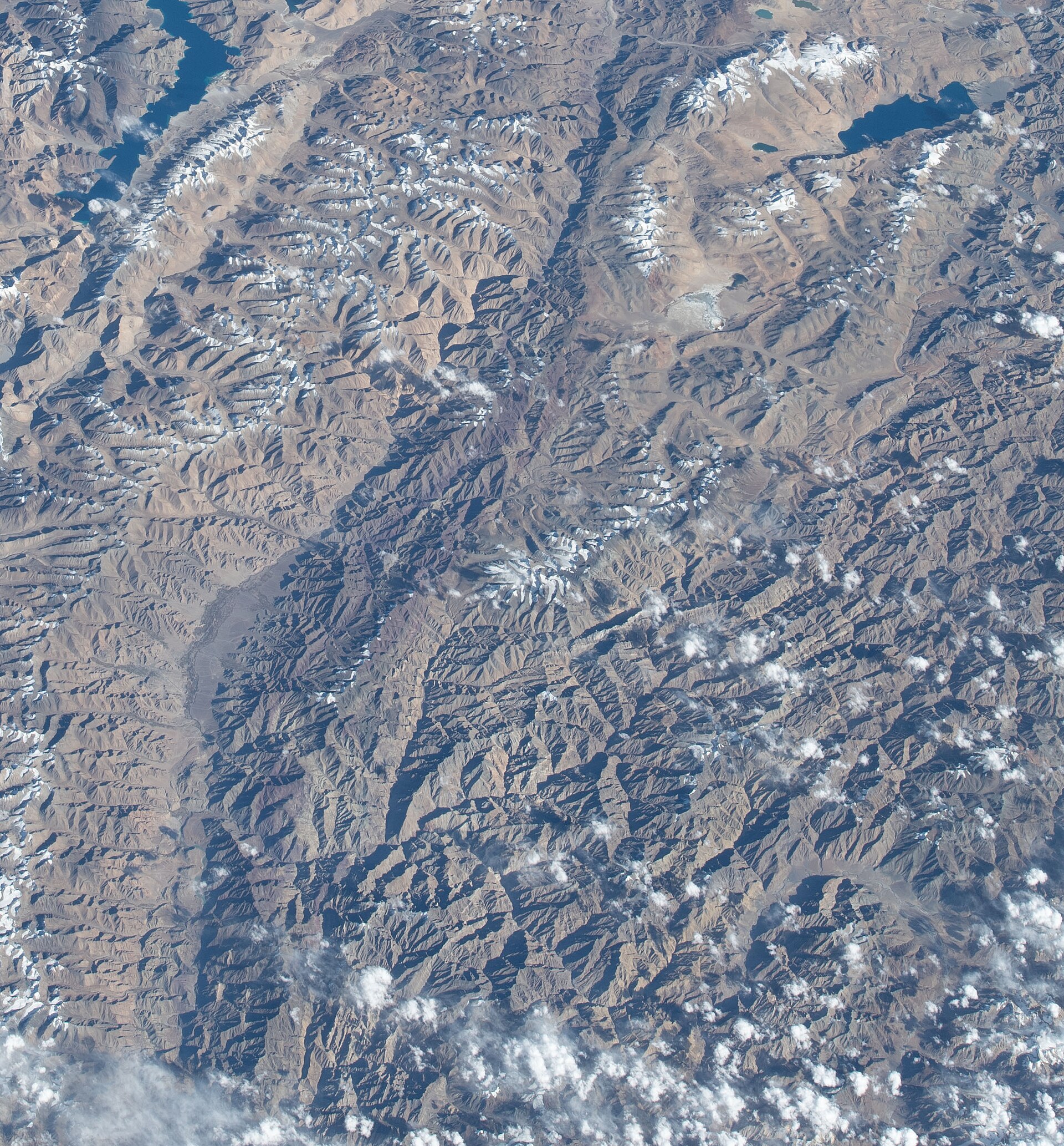
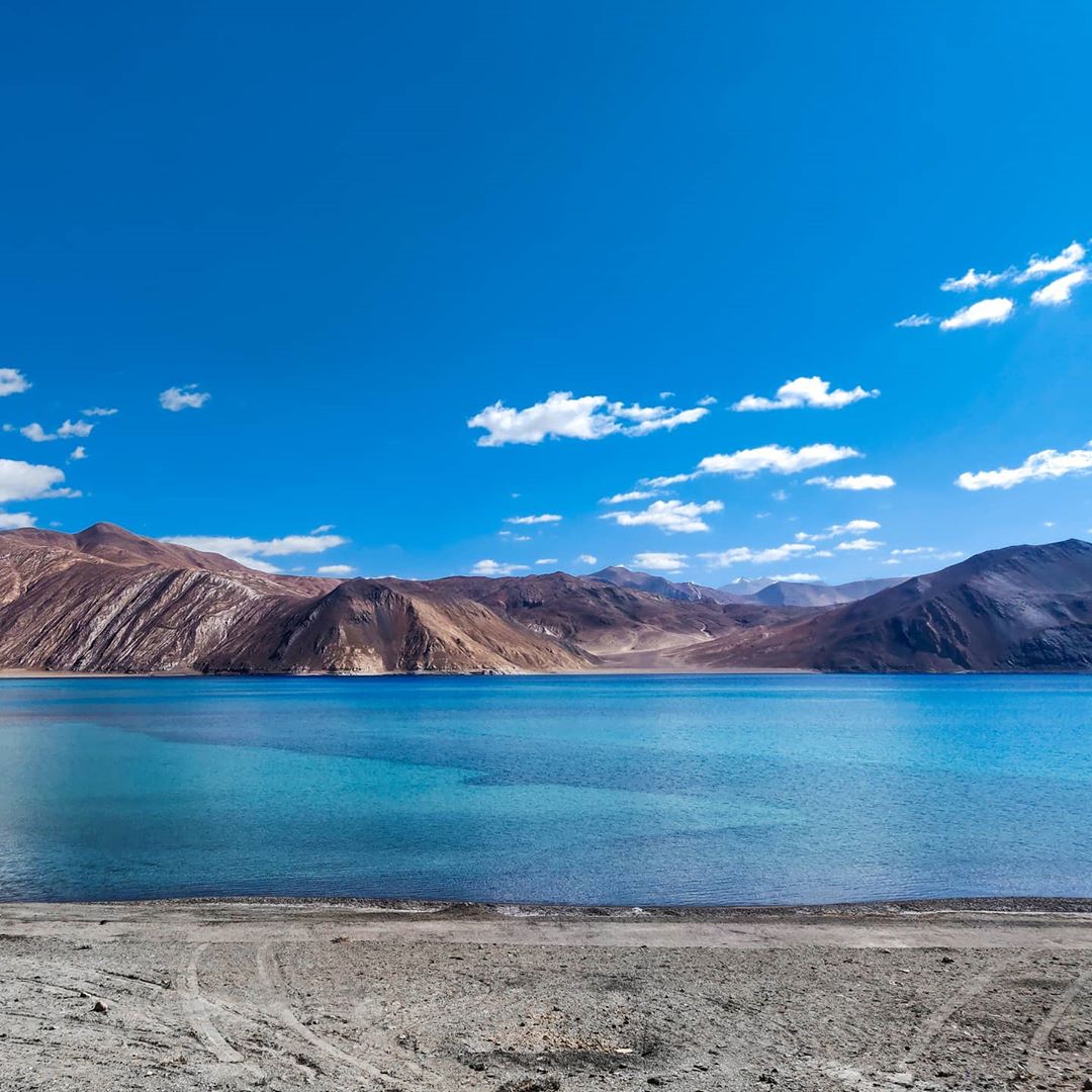
The deep blue waters of Tso Moriri at 4,500 metres.Photo: Earth Science and Remote Sensing Unit , Lyndon B. Johnson Space Center · Public domain
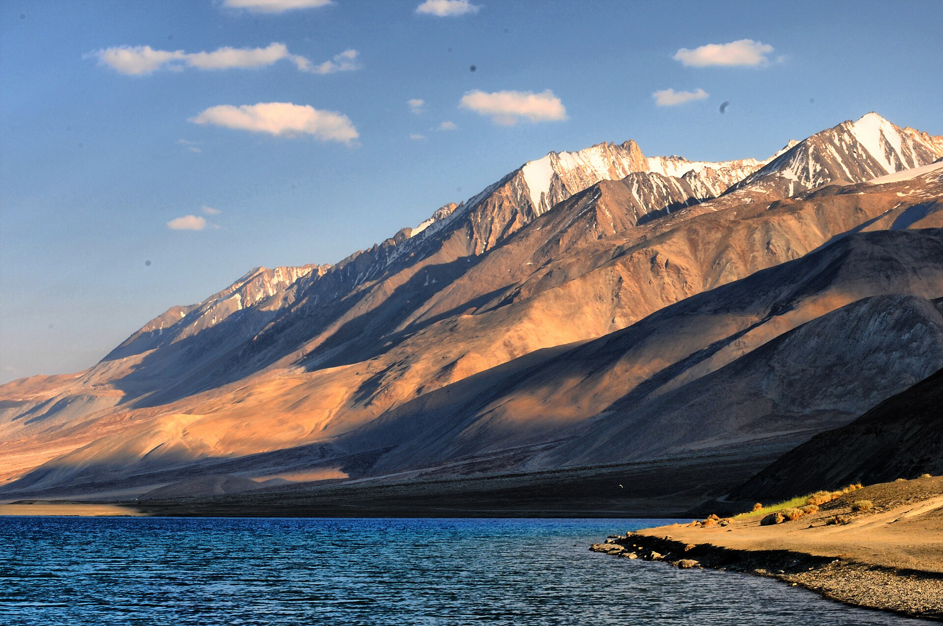
The silence at Tso Moriri is different from anywhere else in Ladakh; it is a heavy, absolute quiet that settles in your lungs at 4,500 metres.
The first time I drove the Leh to Tso Moriri route, I underestimated the sheer scale of the landscape. It isn't just a drive; it is a long-distance navigation through one of the most unforgiving high-altitude deserts on the planet. Many travellers attempt this circuit in a single push, but I strongly advise splitting the journey to allow for acclimatization.
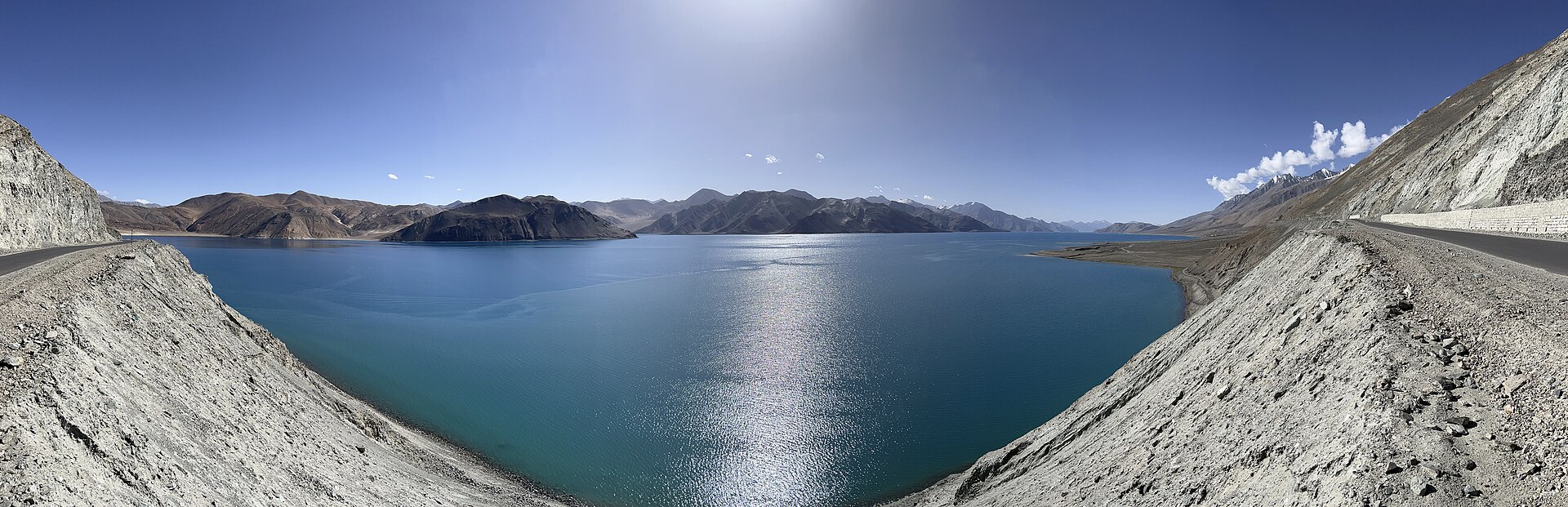
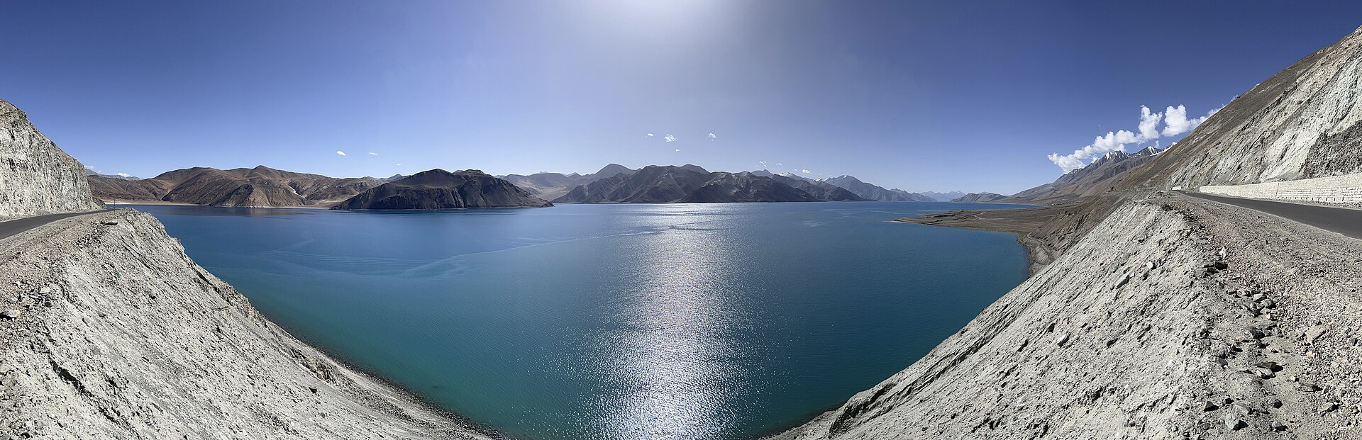
Whether you are heading straight from Leh or connecting from the banks of Pangong Tso, the logistics remain identical: fuel is scarce, roads are volatile, and the weather is rarely predictable. We manage these trips by ensuring every vehicle has a backup mechanical kit and a driver who knows the difference between a reliable mountain pass and a washed-out track.
Choosing Your Route from Leh
There are two primary ways to approach the lake. The most popular path takes you through Chumathang, following the Indus River for a significant stretch. It is the most reliable road, though road works are common throughout the summer months. You will leave Leh early, aiming to clear the Upshi check-post by 8:00 AM.
The alternative involves approaching via Mahe Bridge, which connects you to the wider Rupshu valley. This route is longer but arguably more scenic, taking you past the vast, arid plains of Kyagar Tso. If you have the time, this is the preferred route for those who enjoy the desolate, lunar-like beauty of the Changthang plateau.
Key Stops Along the Way
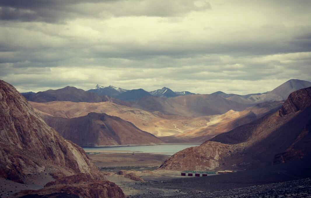
Do not rush the drive. There are several places worth a brief stop to stretch your legs and manage the altitude. The hot springs at Chumathang are a logical place to pull over. The smell of sulphur is sharp, but the steam rising against the backdrop of the Indus makes for a memorable break.
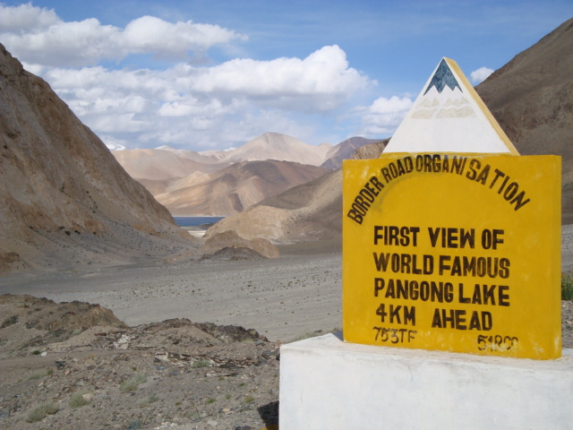
Further on, the Mahe Bridge checkpoint is mandatory for permit verification. You must have your Inner Line Permit (ILP) ready. If you are travelling from Pangong Tso, you will likely cut across the Chushul-Rezang La sector. This is a sensitive area, and while the road is much improved, it remains a remote, high-stakes drive that requires a local professional driver.
Road Conditions to Expect
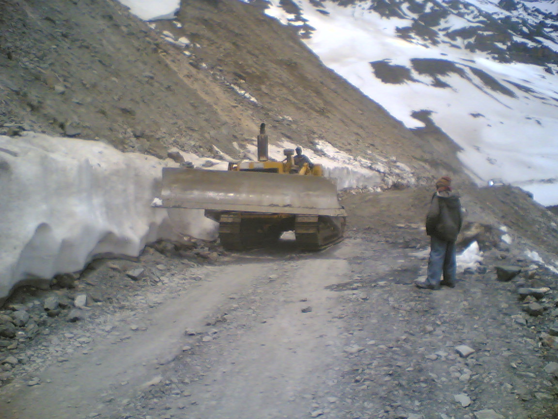
If you expect tarmac, you will be disappointed. The Leh to Tso Moriri route is a mix of fresh blacktop, loose gravel, and water crossings. The sections near the lake often become muddy during the afternoon melt. Expect significant vibrations and dust.
Early in the season, snowmelt creates streams across the road that can be surprisingly deep. If you are driving yourself, you must be comfortable with low-range gear shifts. If you are hiring a vehicle, ensure it is a high-clearance SUV like a Mahindra Scorpio or Xylo.
Time and Fuel Requirements
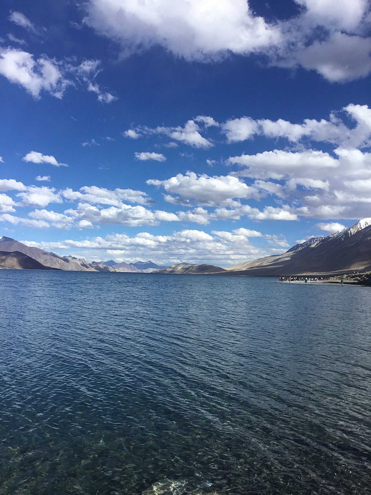
Leave Leh with a full tank of fuel. There are virtually no reliable fuel pumps once you pass Upshi. Carry at least 20 litres of emergency fuel in jerry cans, even if your vehicle has a long range. We have seen too many travellers stranded because they miscalculated their mileage on steep climbs.
The drive takes roughly 7 to 9 hours depending on stops. This is not a race. Moving too fast in these altitudes will leave you with a throbbing headache by the time you reach Karzok, the village perched on the edge of Tso Moriri.
Why a Professional Driver is Recommended
I have spent years on these roads, and I still prefer having a local driver for the Tso Moriri loop. The routes change after every storm. A local driver reads the mountain better—they know which streams are safe to cross and which will trap a standard vehicle.
Professional drivers at Skywale Packages know the local protocols at checkpoints and where to find the best homestays in Karzok. They handle the mechanics and the navigation so you can focus on the changing light over the water. It is a safety net that is well worth the cost.
Before you book
Tso Moriri is a landscape that demands respect. It is far from the convenience of Leh, and that is exactly why people go there. Whether you are seeking the absolute quiet of the Rupshu plateau or the stark beauty of the lake, the journey requires careful planning.
If you would like us to handle the permits, vehicle arrangements, and local homestays for your Ladakh trip, please reach out to us. We have been navigating these passes for years and would be happy to build an itinerary that gets you there safely.
Plan Your Ladakh Expedition
Not sure how to connect Pangong Tso and Tso Moriri? Let us build a custom route for you.
Contact Our TeamWritten by
Kashmir, Jammu & Ladakh specialists
We plan and run trips across Kashmir, Jammu and Ladakh every week of the year. Everything here comes from routes we drive, stays we inspect and questions our travellers actually ask.
Quick answers
Questions we get asked
Is the road to Tso Moriri dangerous?
The road is remote and high-altitude, presenting risks like altitude sickness and unpredictable weather. While not inherently dangerous if you are prepared, it is physically taxing and requires a capable vehicle.
Can I drive my own car to Tso Moriri?
Yes, you can, provided your vehicle is a 4x4 or high-clearance SUV. However, you must be experienced in mountain driving, as road conditions change rapidly due to snowmelt and landslides.
Do I need a permit for Tso Moriri?
Yes, you need an Inner Line Permit to visit any part of the Changthang region. We handle these for our guests as part of our package service.
How long does it take to reach Tso Moriri from Leh?
The journey is roughly 220km and usually takes between 7 and 9 hours of driving, depending on stops and road conditions.
What is the best month to visit?
June through early September offers the best road accessibility. July and August are prime months, though they see more traffic.
Photography credits
- Photo: Earth Science and Remote Sensing Unit , Lyndon B. Johnson Space Center · Public domain
- Photo: Kunalkumarshah · CC BY-SA 4.0
- Photo: 16paruljain · CC BY-SA 4.0
- Photo: No machine-readable author provided. BetacommandBot assumed (based on copyright claims). · CC BY-SA 2.5
- Photo: ThePoeticFrame · CC BY-SA 4.0
- Photo: Hritik412000 · CC BY-SA 4.0
- Photo: Hugh Richardson · Public domain