Understanding Doodhpathri's Location and Access
A straightforward logistical guide to finding your way into the Budgam uplands from Srinagar and beyond.
Map your route correctly with our detailed guide covering doodhpathri location, road networks, distance from Srinagar, and regional connections.
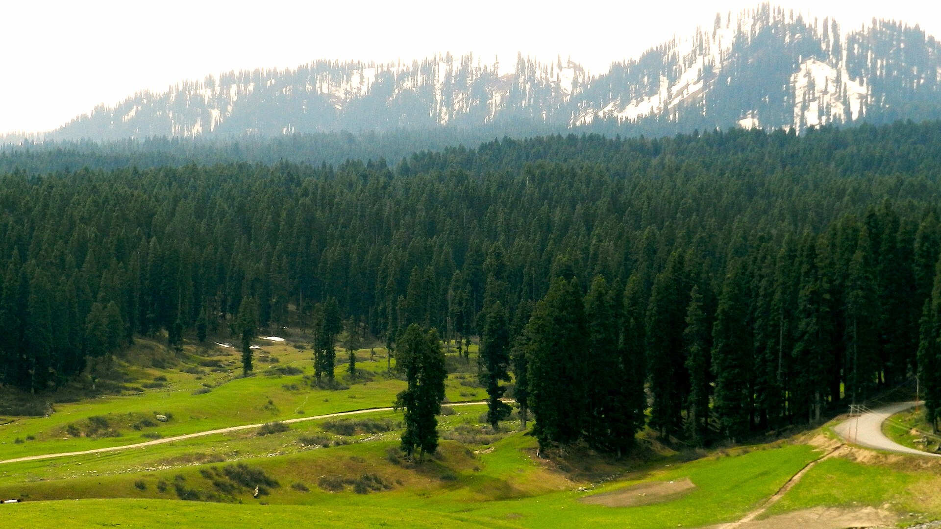
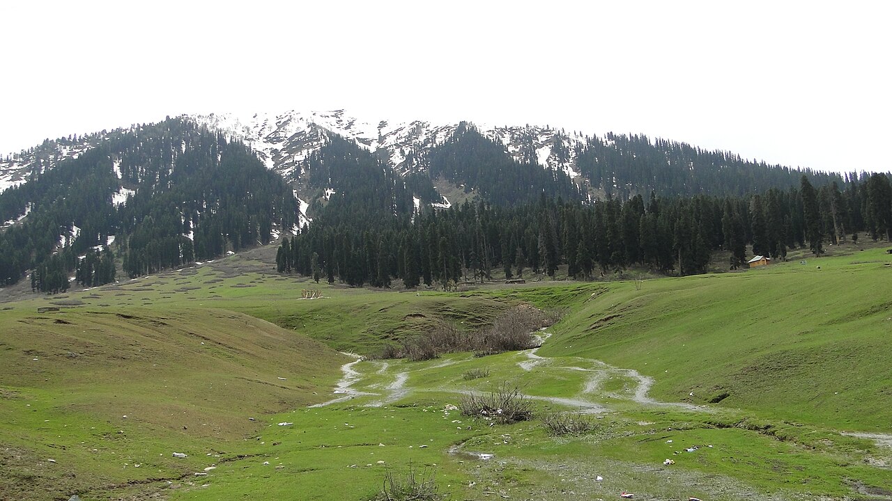
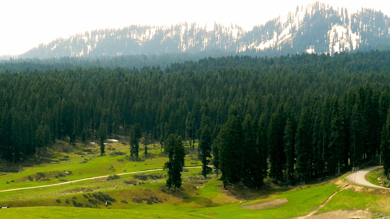
The tarmac climbs steadily through pine-studded hillsides past Khansahib.Photo: Ankur P from Pune, India · CC BY-SA 2.0
The road signs do not always tell you the whole story once you cross the outskirts of Budgam town. When travelers ask about the exact doodhpathri location, they usually want to know how long the drive will take and whether their standard taxi can handle the inclines. Located squarely within the central Budgam district, this valley sits tucked against the northern slopes of the Pir Panjal range.
Unlike destinations that require crossing high mountain passes like Zojila or Razdan, getting here keeps you at lower elevations until the final climb. That makes it a reliable option when other mountain routes are snarled by traffic or weather restrictions. Still, the geography demands careful planning if you want to avoid getting stuck behind slow commercial trucks on narrow village lanes.
We drive these roads week in and week out. Here is what you need to know about navigating the local terrain, mapping your timing from Srinagar, and linking your visit with other stops across the valley.
Where is Doodhpathri in the Kashmir Region?
Geographically, the valley sits in the mid-altitude zone of the Budgam district, roughly 42 kilometres southwest of Srinagar. It acts as a transitional landscape between the flat agricultural plains of the Kashmir valley floor and the high, jagged peaks forming the border with Poonch.
The elevation sits at roughly 8,950 feet above sea level. This puts it high enough to offer relief from summer heatwaves in the cities below, but low enough to avoid the severe altitude sickness sometimes reported by travelers heading straight up to Ladakh or high Himalayan base camps.
- Located in the central Budgam district of Jammu and Kashmir.
- Elevation of approximately 8,950 feet above sea level.
- Pir Panjal mountain range forms the dramatic southern backdrop.
Geographic Highlights of the Budgam Area
The district itself is an overlooked patchwork of apple orchards, paddy fields, and forested hillocks. As you drive south toward the uplands, the landscape shifts from flat village settlements into steep, terraced farming plots before finally breaking out into dense pine forests.
This transitional topography means the climate changes noticeably over a very short distance. You might leave Srinagar in bright sunshine, encounter a sudden mountain drizzle near the foothills, and arrive in the upper meadow to find bright, crisp clearing skies.
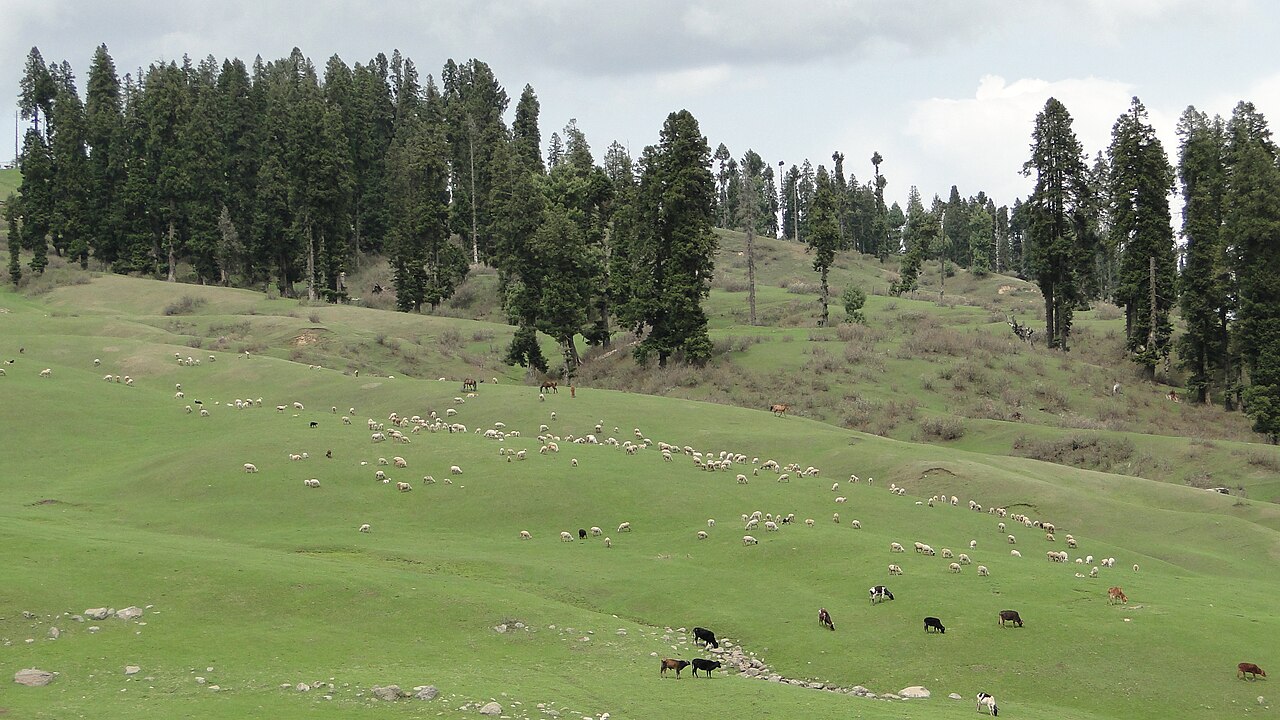
Located squarely within the central Budgam district, this valley sits tucked against the northern slopes of the Pir Panjal range.
Connectivity and Road Network Basics
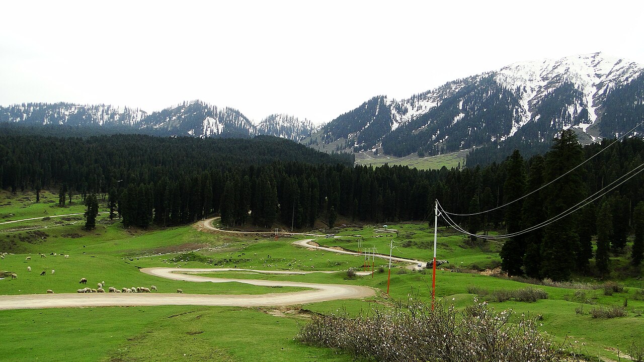
The primary approach route runs via Srinagar through airport road junctions, past Budgam district headquarters, and onward through Khansahib town. From Khansahib, the road narrows and begins its steady, winding climb alongside the Shaliganga basin.
The tarmac quality is generally decent, though winter frost and heavy monsoon rains occasionally cause potholes and minor subsidence along the upper stretches. Local public transport options like buses are infrequent and unreliable for tourists, making private hired cabs the standard choice.
Driving Conditions
Expect a mix of two-lane national highway tarmac and single-lane hill roads. Respect local truck drivers and give way on tight hairpins where visibility drops.
How to Map Your Route from Srinagar
If you are staying in a houseboat on Dal Lake or a hotel in downtown Srinagar, budget roughly two to two-and-a-half hours of driving time each way. Leaving by 8:00 AM allows you to bypass commuter traffic leaving the city center and gets you to the valley before the midday rush.
The drive takes you through Chadoora or directly via Budgam town depending on your starting hotel location. Both routes converge near Khansahib, which serves as the final staging post for purchasing snacks, water, and checking vehicle fuel levels.
Proximity to Other Key Kashmir Landmarks
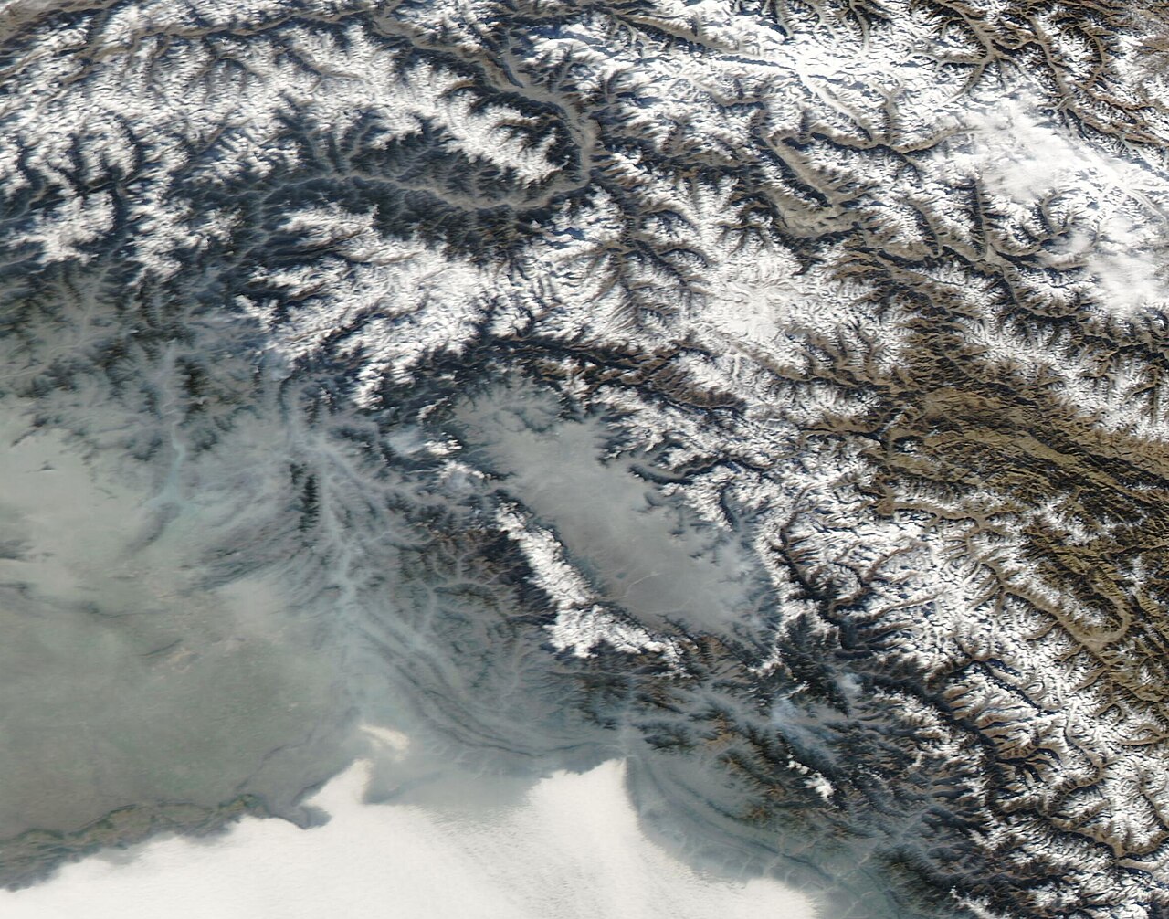
One of the best ways to structure your travel itinerary is by looking at how this destination connects with nearby regional highlights. It sits roughly equidistant from Srinagar as Gulmarg does, but in the exact opposite direction.
You can also pair a visit here with a trip to Yusmarg by taking the rugged cross-country jeep tracks if weather permits, though most standard tourist itineraries route back through the valley floor to manage driving hours safely.
Before you book
Understanding the geography and road networks of the Budgam uplands ensures your holiday runs smoothly without unexpected delays or navigation mix-ups.
If you need help arranging reliable transport or putting together a connected regional itinerary across Kashmir, reach out to our team in Srinagar.
Ready to Plan Your Route?
Contact our Srinagar office to book dependable transport and expert local guides for your next trip.
Contact Us TodayCaption for your own post
Mapping out the winding roads from Srinagar through Budgam toward the quiet green uplands.
Written by
Kashmir, Jammu & Ladakh specialists
We plan and run trips across Kashmir, Jammu and Ladakh every week of the year. Everything here comes from routes we drive, stays we inspect and questions our travellers actually ask.
Compiled from years of daily driving logs and transport coordination across Budgam.
Quick answers
Questions we get asked
How far is Doodhpathri from Srinagar?
It is approximately 42 kilometres away, with driving times typically ranging between two to two-and-a-half hours depending on city exit traffic and road conditions.
Is the road suitable for small hatchback cars?
While hatchbacks can make the journey during dry summer months, ground clearance can be an issue on rough patches. Taxis or higher-clearance vehicles are strongly recommended.
Can I visit as a day trip from Gulmarg?
It is technically possible, but it requires a very long day of driving across different valleys. It is much easier to visit as a day excursion originating from Srinagar.
Are there petrol pumps along the route?
There are fuel stations in Srinagar and Budgam town, but none once you start the final climb past Khansahib. Always top up beforehand.
Does mobile network coverage work on the road?
Postpaid connections usually work well through Srinagar and Budgam, but coverage becomes patchy and eventually disappears entirely once you reach the upper basin.
Photography credits
- Photo: Ankur P from Pune, India · CC BY-SA 2.0
- Photo: Ankur P from Pune, India · CC BY-SA 2.0
- Photo: Ankur P from Pune, India · CC BY-SA 2.0
- Photo: Ankur P from Pune, India · CC BY-SA 2.0
- Photo: Ankur P from Pune, India · CC BY-SA 2.0
- Photo: R-yn · CC BY-SA 4.0
- Photo: MODIS Land Rapid Response Team, NASA GSFC · Public domain