Travel Distance and Route Realities: How Far is Sinthan Top from Pahalgam
A practical breakdown of road distances, travel times, and driving conditions between Pahalgam and Sinthan Top.
Wondering how far is sinthan top from pahalgam? Explore our detailed road guide covering travel times, terrain, and best routes.
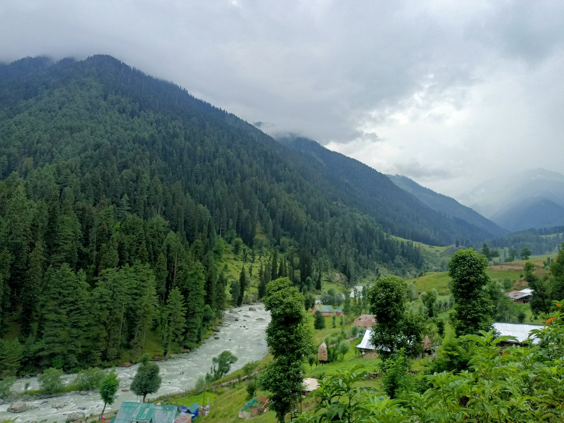
Starting the journey from the green valley of Pahalgam.Photo: TheAutumnal · CC BY-SA 4.0
When you look at a flat map of Kashmir, Pahalgam and Sinthan Top appear frustratingly close as the crow flies, separated by just a jagged ridge of the Pir Panjal mountains. If you could strap wings on your car, you would cross the divide in ten minutes. Reality, however, involves dropping down the Lidder valley, tracing the highway past Anantnag or winding through apple orchards toward Achabal, and then climbing back up through the dense pine forests of Daksum.
Travellers frequently ask how far is sinthan top from pahalgam when planning a scenic day trip or looking to loop across to Kishtwar. The actual distance by road spans roughly 130 to 140 kilometres depending on your exact exit point from Pahalgam. More important than the mileage is the time: you must budget four to five hours of driving each way because mountain averages rarely exceed thirty kilometres per hour.
We dispatch vehicles on this route throughout the summer season when the snow melts back. Here is a realistic look at the road layout, travel durations, and terrain challenges so you can decide whether to tackle it as a long day excursion or break the journey.
Geographic Location and Terrain Explained
Understanding the layout of south Kashmir helps make sense of why the journey takes as long as it does. Pahalgam sits in the upper reaches of the Lidder river valley at roughly 2,130 metres. Sinthan Top sits far to the east on the crest of the mountain wall separating Anantnag district from Chenab Valley at 3,800 metres.
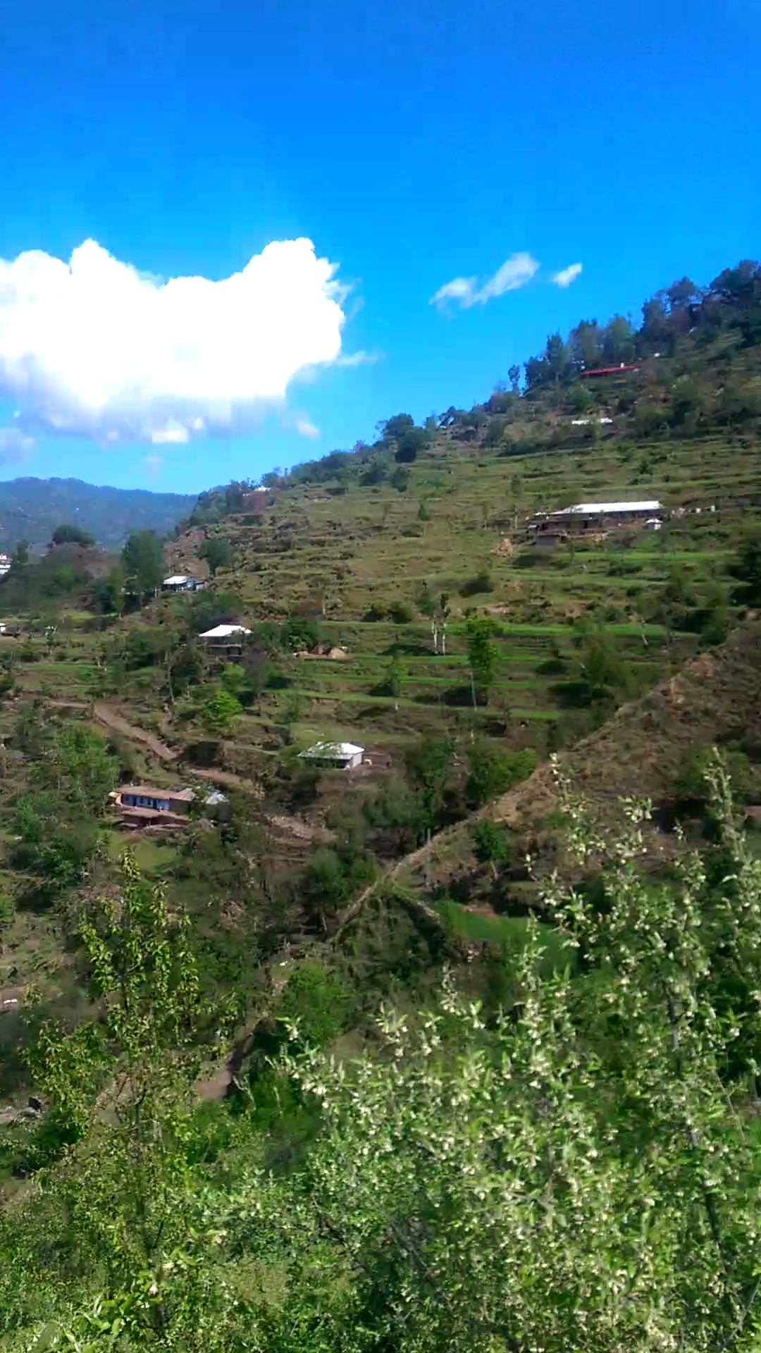
The terrain between these two points is not a simple highway; it is a sequence of river valleys, agricultural plateaus, and steep forest ascents. You drop down from Pahalgam toward Martand and Anantnag, cross the undulating countryside toward [Achabal](/destinations/kashmir/achabal) with its historic Mughal gardens, and enter the narrow gorge leading to [Daksum](/destinations/kashmir/daksum).
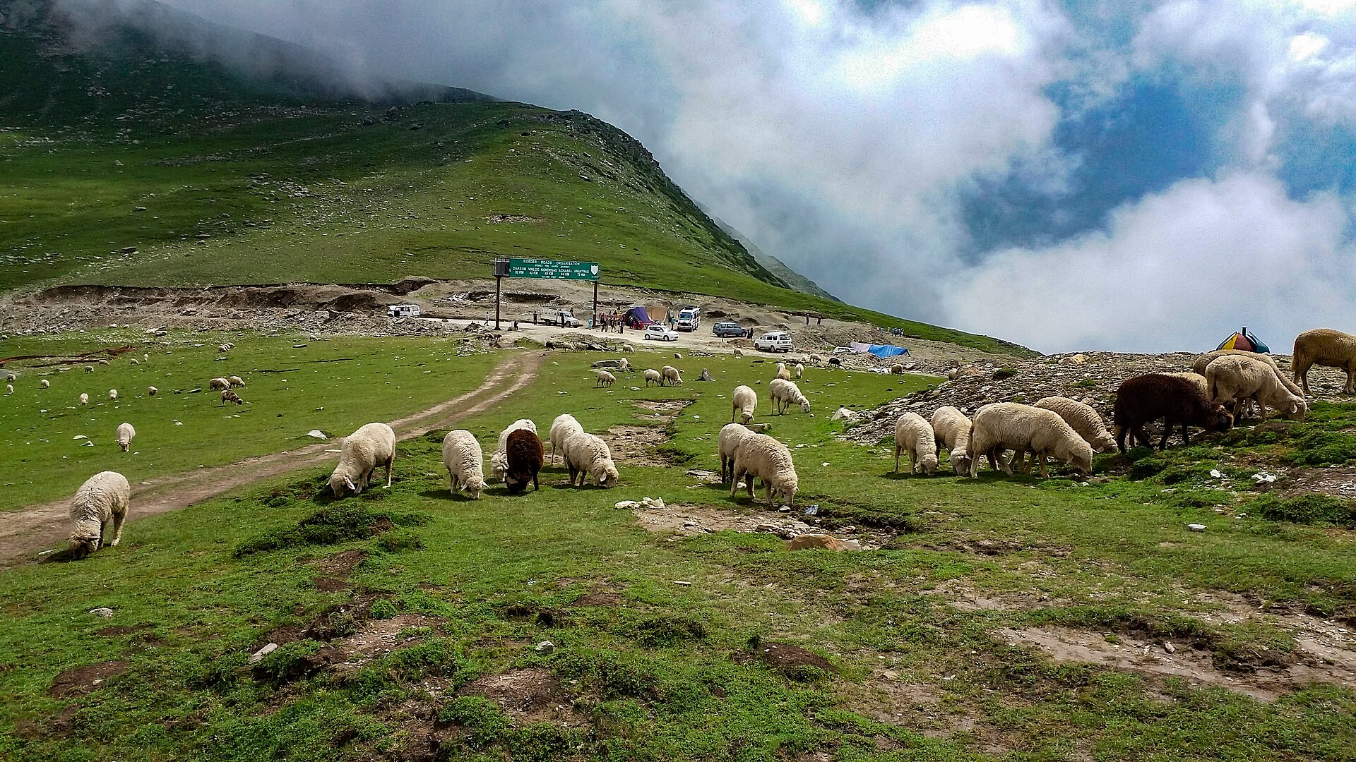
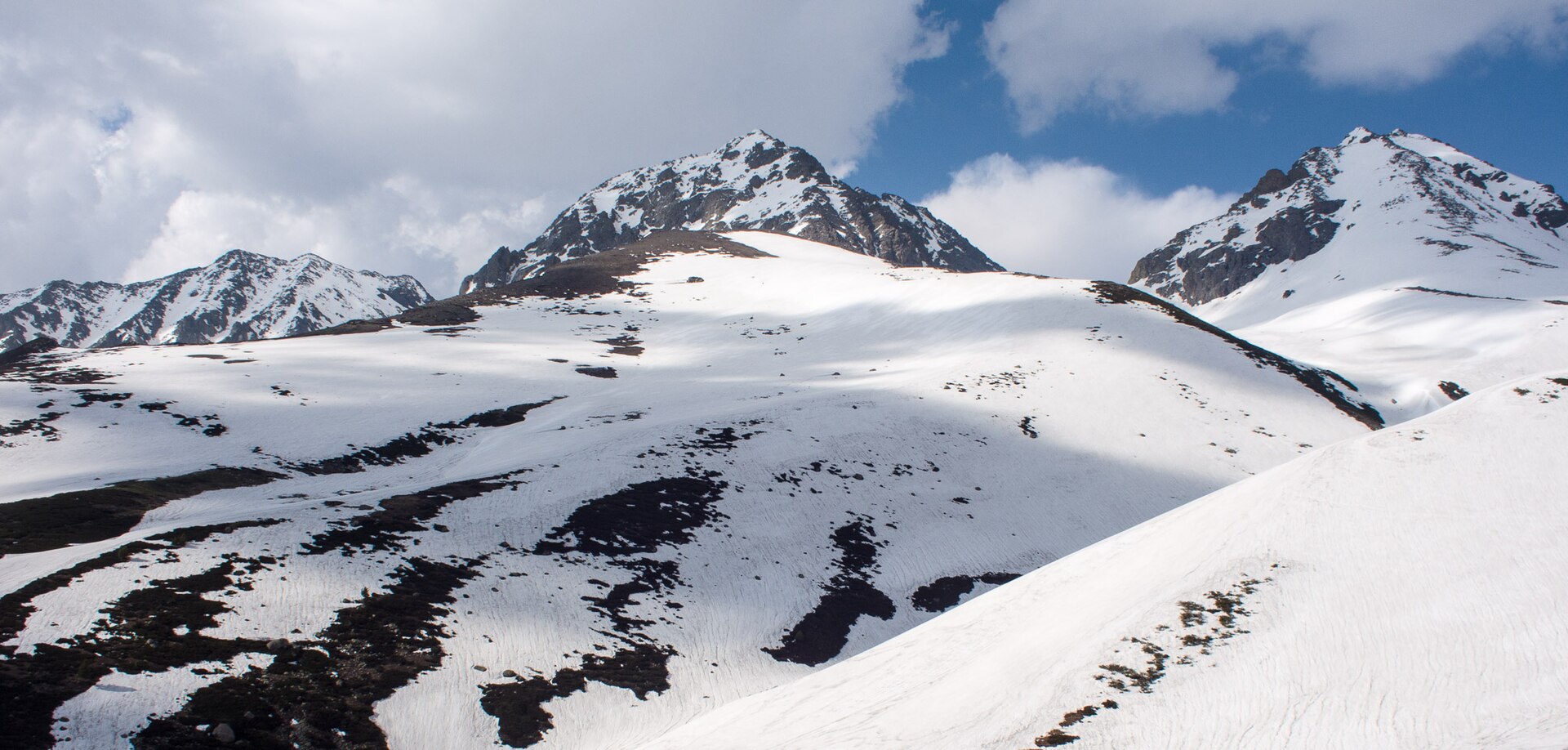
From Daksum onward, the valley closes in completely and the road begins its relentless, switchback climb. The dramatic shift in scenery from green agricultural terraces to rugged alpine scree is what makes this one of the finest road journeys in northern India.
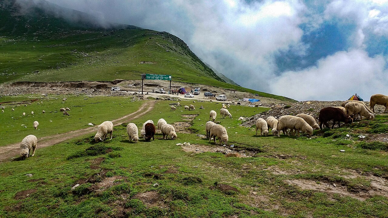
Road Distances and Actual Travel Times
The road distance from Pahalgam town to the summit of Sinthan Top measures approximately 135 kilometres when taking the standard route via Martand, [Kokernag](/destinations/kashmir/kokernag), and Daksum. While 135 kilometres sounds like a two-hour drive on national highways, mountain driving in Kashmir operates under entirely different rules.
Expect your journey upward to take between 4.5 and 5.5 hours. The first leg from Pahalgam to Anantnag takes about an hour over decent tarmac. The middle section through rural lanes and Daksum gorge is slower due to local traffic and occasional rough patches. The final climb up the pass requires slow, careful crawling in second gear.
Altogether, a round trip means spending nearly nine to ten hours inside a vehicle. If you attempt this in a single day from Pahalgam, you need an early dawn start to ensure you have adequate time to stand at the summit before turning back.
- Total road distance: ~135 km one way
- Average travel time: 4.5 to 5 hours upward
- Total round-trip driving time: 9 to 10 hours
- Maximum altitude reached: 3,800 metres
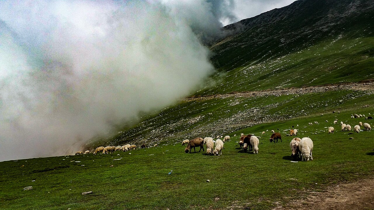
Mountain driving in Kashmir operates under entirely different rules where 135 kilometres translates into five hours of steady climbing.
Best Route Options for Tourists
Choosing the right path out of Pahalgam dictates how smooth your morning drive will be. The most reliable route takes you down the Lidder valley to Ganeshpora, cutting across to Khanabal, and then heading south-east toward Achabal before climbing into Daksum.
Some drivers try taking smaller agricultural shortcuts to save time, but these farm tracks can be narrow, unpaved, and congested with tractor traffic during peak harvest seasons. Sticking to the primary arterial roads ensures a smoother ride, saving your suspension and your patience.
For a deeper dive into the specifics of the pass itself, our comprehensive guide on [Sinthan Top](/destinations/kashmir/sinthan-top) provides additional context on what to look out for once you reach the summit ridge.
Combining Pahalgam with a Sinthan Top Day Trip
Can you comfortably visit the pass and return to Pahalgam before dark? Yes, many travellers do. However, it requires military-style time management. If you sleep in and leave Pahalgam at 10:00 AM, you will spend your entire afternoon rushing uphill and barely catch forty minutes at the top before needing to race the sunset back down.
A successful day trip requires leaving your Pahalgam hotel by 6:00 AM. This timing lets you stop briefly for tea in Daksum around 8:00 AM, hit the summit by 10:30 AM when the light on the Kishtwar side is crystalline, and begin your descent by noon.
On your return leg, you can stop near Kokernag for a late afternoon lunch by the trout streams before rolling back into Pahalgam just as the evening chill settles over the valley.
Driving Conditions and Local Transport Realities
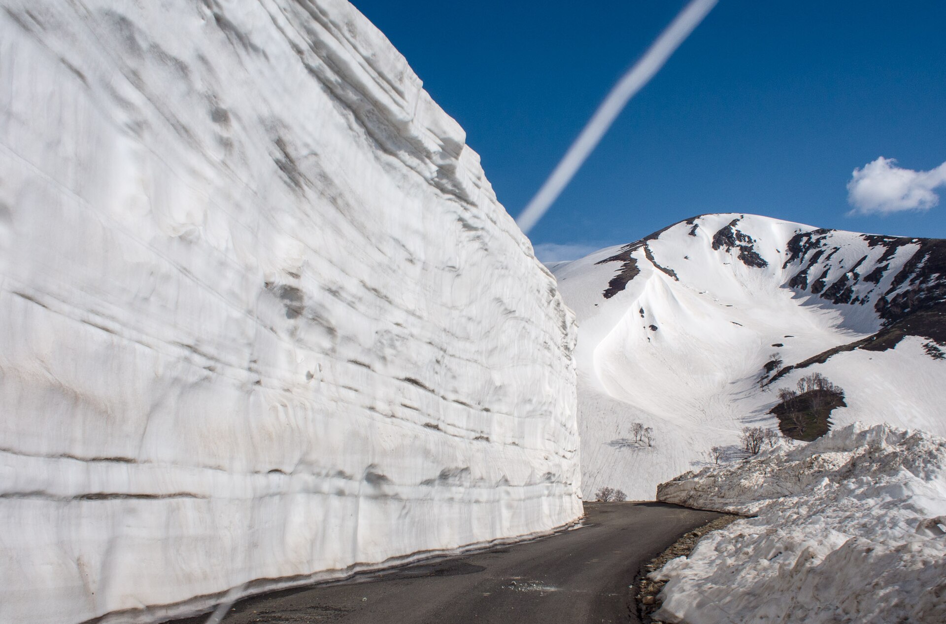
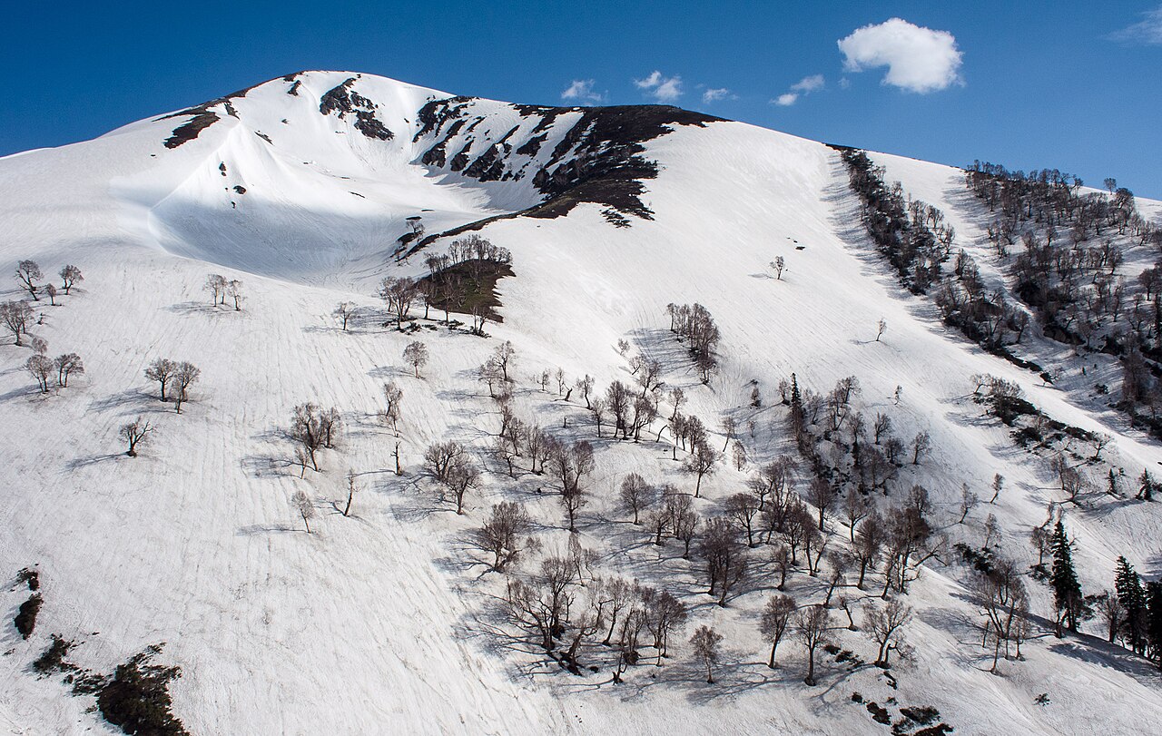
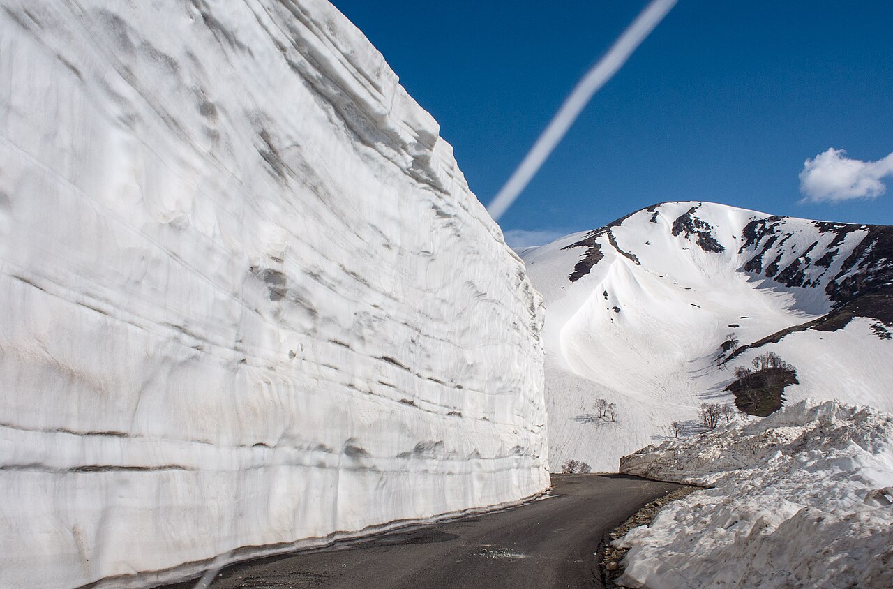
The road surface varies from freshly laid blacktop in lower valley sections to rough stone and gravel near the top where winter avalanches scour the mountain face. Government maintenance crews work continuously between May and October, but potholes and loose shale appear without warning.
If you are not an experienced mountain driver accustomed to hairpin turns on steep inclines without guardrails in places, do not self-drive. Renting a dedicated cab with a local driver from Pahalgam or Srinagar is money well spent. Local drivers know every bump, watch out for cattle on blind turns, and understand how to manage engine heating during long climbs.
Should you run into any trouble on the road or need tailored vehicle arrangements, you can always [contact our Srinagar office](/contact) for assistance and verified local recommendations.
Before you book
Knowing how far is sinthan top from pahalgam is only the first step in planning a successful mountain excursion. While the mileage numbers might seem modest on paper, the vertical climb and winding gorges demand respect and careful scheduling.
Whether you decide to make it an ambitious single-day push or fold it into a broader tour across Kashmir's southern highlands, taking your time on these roads ensures an unforgettable journey. Reach out if you need help sorting out vehicles or custom itineraries.
Plan Your Kashmir Road Journey With Confidence
Let us set you up with verified local drivers, comfortable vehicles, and well-paced itineraries across the southern valleys.
Get in TouchCaption for your own post
Mapping out the miles from Pahalgam to Sinthan Top. Five hours of winding through pine forests, rivers, and hairpin turns up to 3,800 metres. 🌲🚙
Written by
Kashmir, Jammu & Ladakh specialists
We plan and run trips across Kashmir, Jammu and Ladakh every week of the year. Everything here comes from routes we drive, stays we inspect and questions our travellers actually ask.
Written by a Skywale editor who has measured these mountain miles more times than the odometer can count.
Quick answers
Questions we get asked
How far is sinthan top from pahalgam by road?
The driving distance is roughly 135 kilometres via Achabal, Kokernag, and Daksum, taking about 4.5 to 5 hours each way depending on traffic and road conditions.
Can I do a day trip from Pahalgam to Sinthan Top and back?
Yes, but you must start very early—around 6:00 AM—to account for the 9 to 10 hours of total driving time and ensure you have time to enjoy the summit.
What is the road condition between Pahalgam and Sinthan Top?
The road is a mix of paved tarmac and mountain gravel. Lower sections are smooth, while upper stretches near the pass feature steep hairpins and occasional rough patches.
Is it safe to self-drive from Pahalgam to Sinthan Top?
Self-driving is possible if you have extensive experience navigating high-altitude mountain passes with steep inclines, but hiring a local commercial cab is strongly recommended.
What towns will I pass through on the way?
Your route typically takes you past Martand, Achabal, Kokernag, and the deep pine forests of Daksum before you begin the final winding ascent to the pass.
Photography credits
- Photo: TheAutumnal · CC BY-SA 4.0
- Photo: Hafizusman1997 · CC BY-SA 4.0
- Photo: Madhumita Das · CC BY-SA 4.0
- Photo: Madhumita Das · CC BY-SA 4.0
- Photo: Mike Prince from Bangalore, India · CC BY 2.0
- Photo: Mike Prince from Bangalore, India · CC BY 2.0
- Photo: Mike Prince from Bangalore, India · CC BY 2.0