Sinthan Top Essential Travel Guide: Timings, Altitude and Road Realities
Everything you need to know about planning a safe and well-timed visit to one of Kashmir's highest motorable passes.
Plan your journey to Sinthan Top with practical advice on sinthan top timings, altitude acclimatisation, and essential road safety tips.
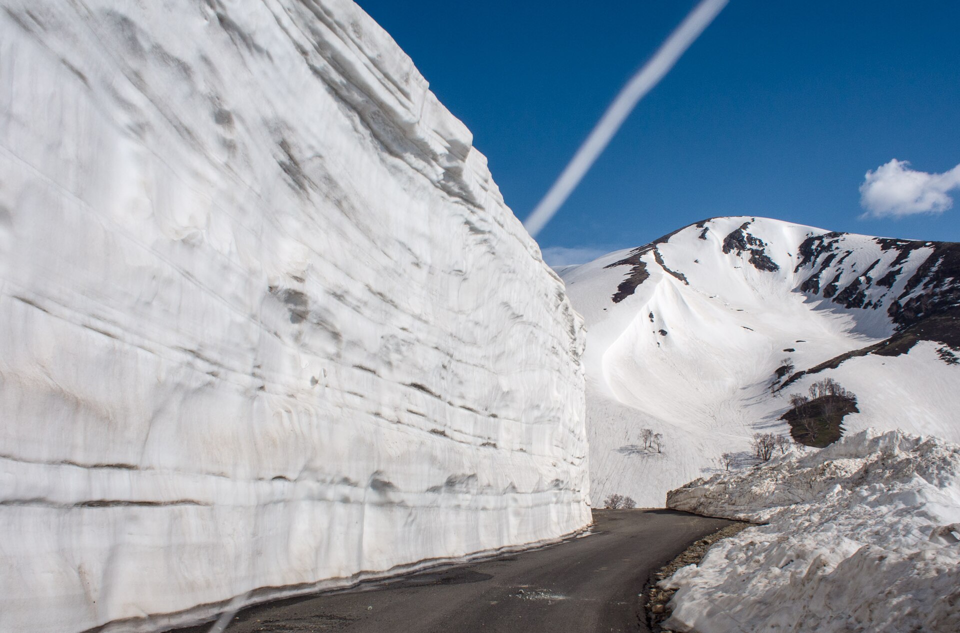
The endless hairpin bends climbing toward the summit plateau.Photo: Mike Prince from Bangalore, India · CC BY 2.0
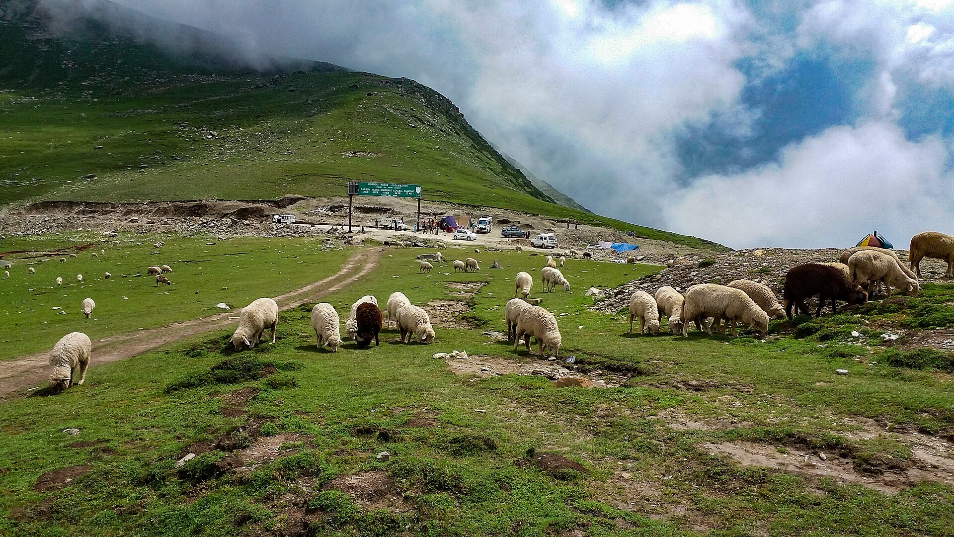
The first time I drove up to Sinthan Top, my ears popped somewhere past Daksum and did not stop until we reached the windswept ridge at the very top. This high-altitude mountain pass connecting the Kashmir Valley to Kishtwar remains one of the wildest drives in the region. Unlike more commercialised spots, it asks for a bit of respect from travellers. You cannot simply roll up whenever you please; understanding proper sinthan top timings makes the difference between an effortless alpine drive and turning back at a locked gate.
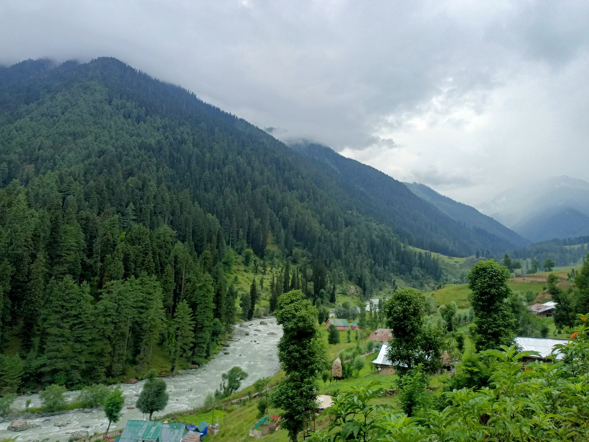
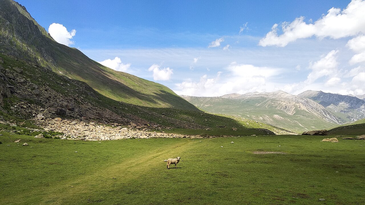
Most visitors underestimate the sheer scale of the climb. Rising sharply from the pine forests of Anantnag district, the road twists through hairpin bends that test both vehicle brakes and driver nerves. Weather up here shifts from bright summer sunshine to biting mountain gales within twenty minutes. Getting your logistics right requires knowing when the gates open, how the altitude affects your body, and what documents you might need to show checkpoints along the Kishtwar highway.
We put this guide together from years of driving clients across these passes in every season. If you want to experience the true silence of the Pir Panjal range without getting stranded by afternoon snow or road maintenance, read on for the unvarnished details on timings, preparation, and packing.
Recommended Visiting Hours and Optimal Windows
Timing your departure from your base is critical because the pass sits at a remote elevation with zero emergency services nearby. Generally, district authorities recommend starting your ascent early in the morning when the sky is clear and the tarmac is free of frost or afternoon condensation. Sticking to strict sinthan top timings ensures you enjoy the views and return to lower elevations before visibility drops.
The ideal window to leave Srinagar, Anantnag, or Pahalgam is between 6:00 AM and 7:00 AM. This gets you to the summit by mid-morning, which is statistically the most stable weather window of the day. By 2:00 PM, mountain winds frequently pick up, and low-hanging clouds can obscure the hairpin bends entirely, making the descent hazardous for inexperienced drivers.
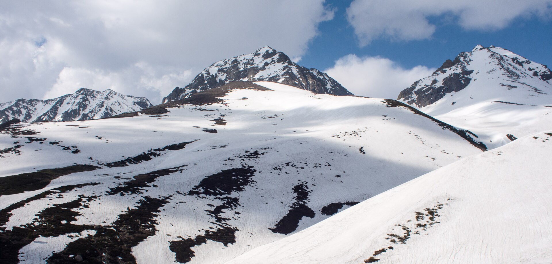
Winter and spring months demand even tighter schedules. Heavy snow accumulation means snow-clearing operations run daily, and the Border Roads Organisation only allows civilian traffic through after inspecting the surface stability. Always check with local authorities at the Daksum checkpoint before pushing higher up the mountain.
- Start driving by 7:00 AM latest from major valley bases.
- Aim to reach the summit plateau between 10:30 AM and 12:00 PM.
- Begin your return journey downward no later than 2:30 PM.
- Avoid riding the pass during heavy monsoon downpours or active blizzards.
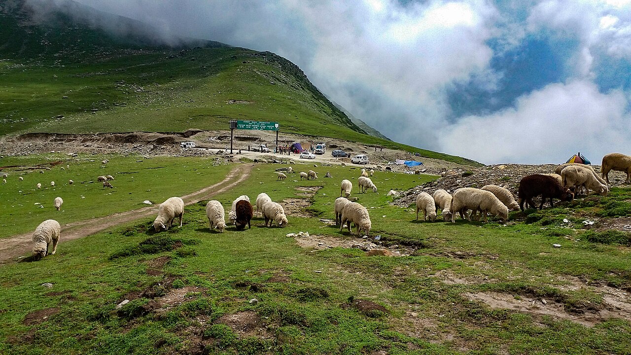
Preparing for High Altitude and Thin Air
At roughly 3,800 metres above sea level, the sinthan top altitude catches many travellers completely off guard. You are stepping out of your car into air containing significantly less oxygen than you are used to down in Srinagar or Jammu. Walking uphill for even fifty metres can leave you breathless and mildly dizzy if you have not given your body time to adjust.
We always advise clients to spend at least two days at lower elevations like Pahalgam or Srinagar before attempting a high pass like this. Drink plenty of water during the drive, and skip heavy, greasy meals at the roadside dhabas until you return to lower altitudes. Mild headaches are common; if yours worsens, descend immediately towards Kokernag or Achabal.
Travellers with pre-existing respiratory or cardiovascular conditions should consult a physician before planning this trip. The remote nature of the route means that medical evacuation takes time, so caution is always your best travel companion in the higher reaches.
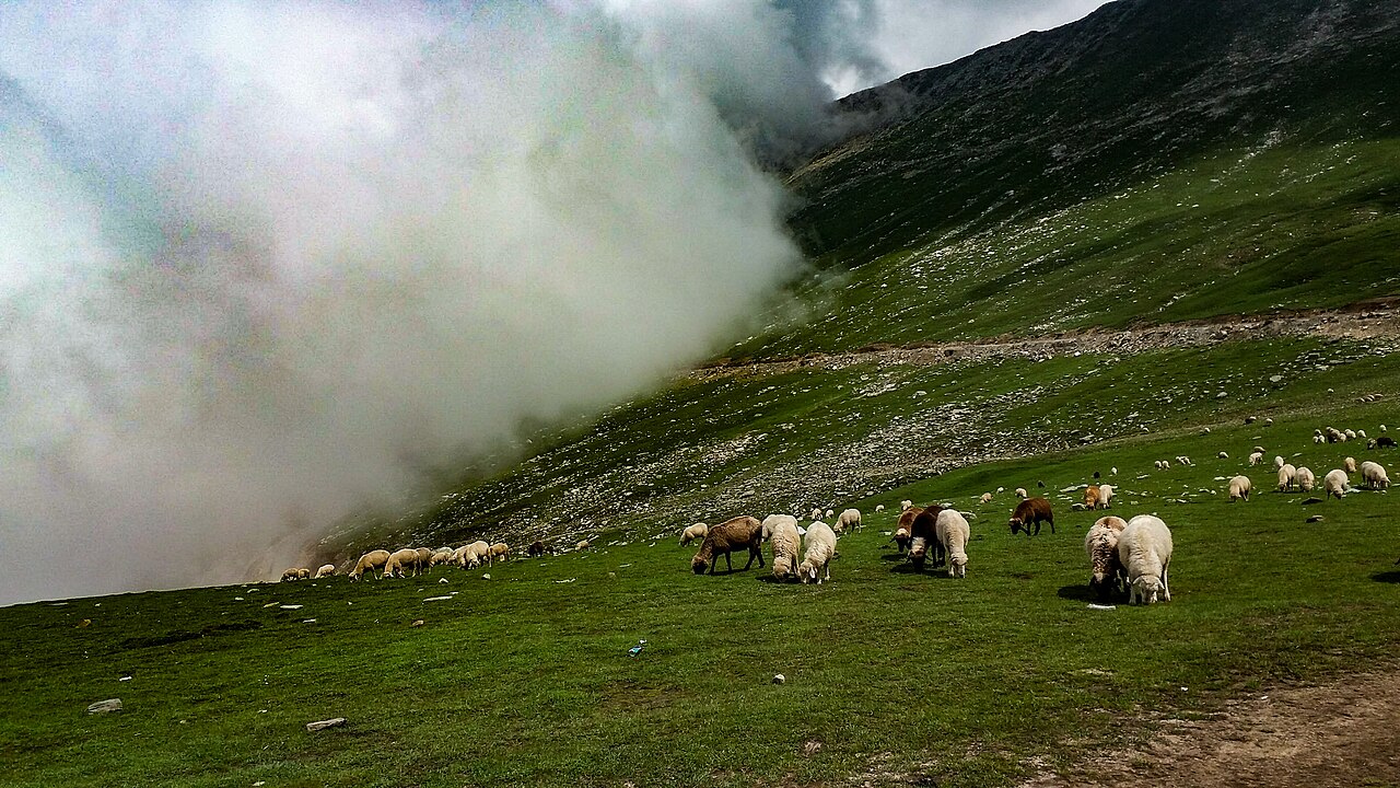
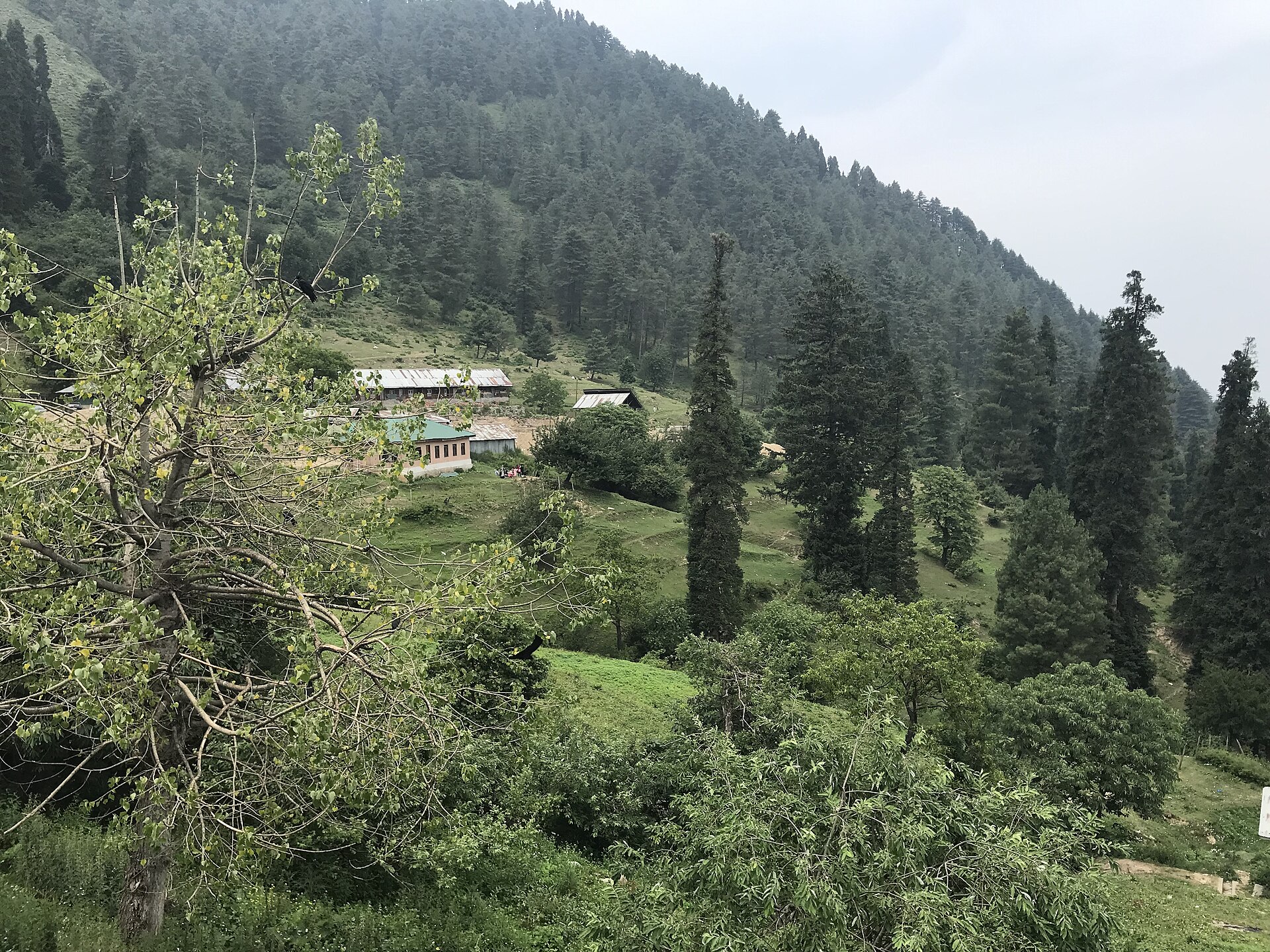
The wind at 3,800 metres can cut right through ordinary cotton hoodies in seconds, reminding you that you are deep in the high Himalayas.
Safety Tips for Mountain Road Travel
The road leading up to the pass is an engineering feat carved directly into slate and limestone cliffs, but it demands absolute concentration. Whether you are self-driving or hiring a local cab, vehicle health dictates everything on this route. Overheating radiators and worn brake pads are the two most common mechanical failures we encounter on clients' vehicles.
Keep your headlights on when navigating blind corners, as local commercial vehicles and trucks moving between Kishtwar and Anantnag often hug the inner lane. Cell phone reception vanishes entirely once you cross Daksum, so download your maps offline and let someone at your hotel know your exact itinerary before you set out.
If you encounter road maintenance crews or military convoys, pull over safely and wait for instructions rather than attempting risky overtakes on steep gradients. The margins of error on these mountain edges are razor-thin.
Handling Steep Inclines and Hairpin Bends
Always stay in a lower gear when climbing and descending to protect your brakes from burning out. Let faster local drivers pass by using your indicator when a safe pull-off appears.
Dealing with Sudden Weather Changes
Mountain weather is notoriously fickle. If hail or thick fog rolls in while you are near the top, pull over safely in a wide clearing, turn on your hazard lights, and wait ten minutes for the front to pass.
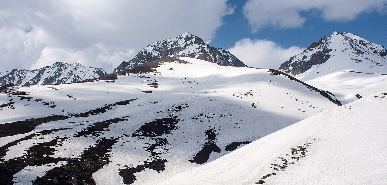
What to Bring for Your Trip
Packing for a day trip to an alpine pass requires layering because you will experience three distinct seasons in a single afternoon. Start with a moisture-wicking base layer, add a warm fleece or wool sweater, and top it with a windproof and waterproof outer shell. The wind at the summit can cut right through ordinary cotton hoodies in seconds.
Sun protection is another major factor that people ignore because of the cool breeze. The UV radiation at 3,800 metres is intense, so bring high-SPF sunscreen, polarised sunglasses, and a sturdy cap. Pack a small daypack with snacks, glucose biscuits, a thermos of hot tea, and at least two litres of drinking water per person.
Carry physical cash in small denominations. While digital payments work in major towns, there is zero mobile connectivity or electricity for card swiping machines once you leave the valley floor behind.
- Windproof and waterproof jacket
- Polarised sunglasses and high-SPF sunscreen
- Thermos of hot water or tea and high-energy snacks
- Physical cash in rupees for roadside tea stalls
- Offline maps downloaded onto your phone
Local Regulations and Road Status
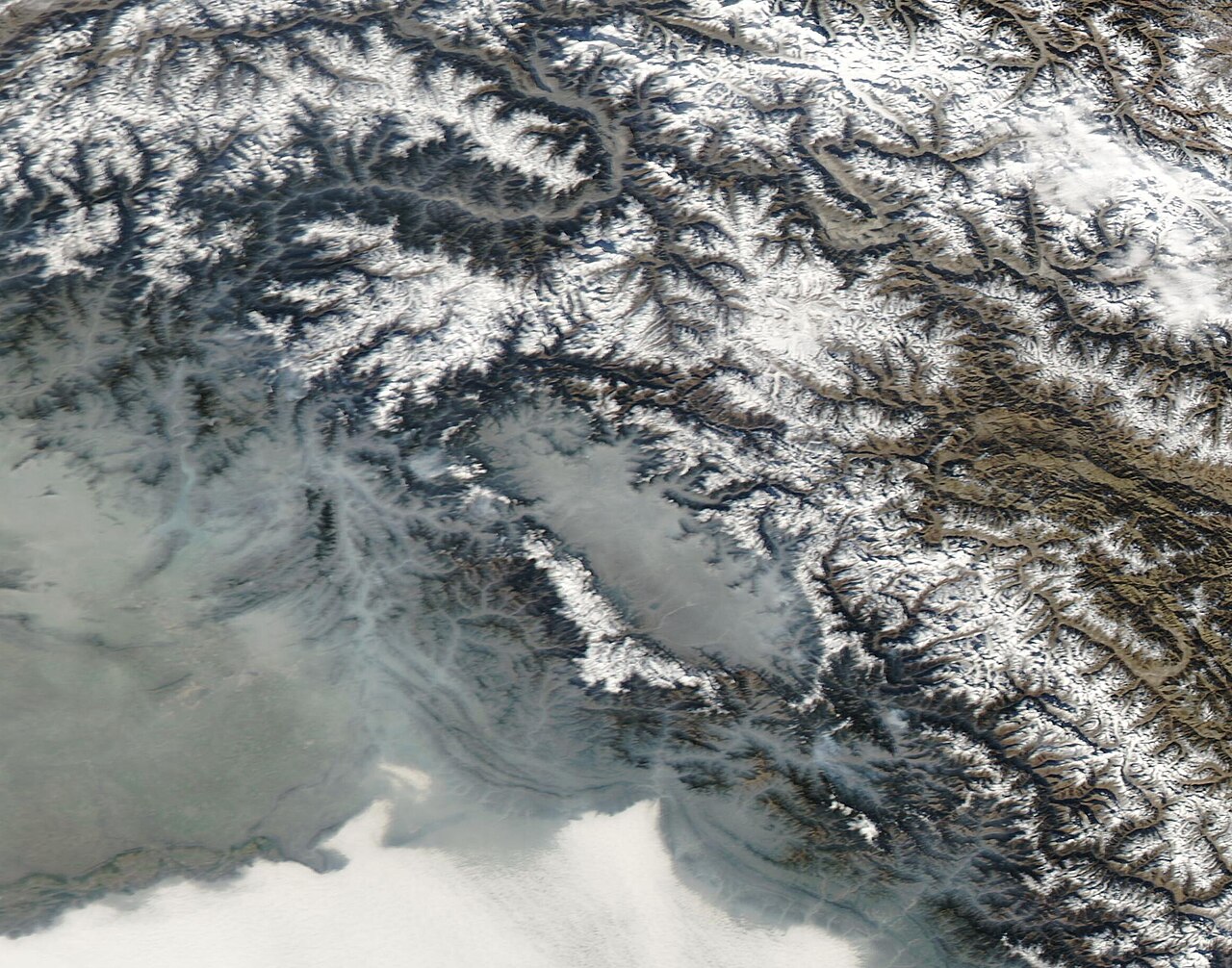
Road status fluctuates unpredictably based on seasonal snowmelt, rockfalls, and military security protocols along the Kishtwar highway corridor. While summer months usually guarantee open tarmac from May through October, unseasonal blizzards can temporarily close the pass even in June.
Before planning your final route, consult our detailed overview on [Sinthan Top](/destinations/kashmir/sinthan-top) for live updates. You can also stop by local police checkpoints at Achabal or Daksum where officers maintain up-to-the-minute logs on vehicle movement and pass clearance.
Commercial vehicles require specific local permits if coming from outside the district, so booking an experienced local driver through a trusted operator simplifies compliance immensely. Respect any roadblocks or warning signs posted by the district administration—they are there for your safety.
Before you book
Visiting this remote mountain pass rewards travellers with raw, untamed alpine scenery that mass tourism has not yet touched. By respecting local sinthan top timings, pacing your ascent to handle the altitude, and packing proper gear, you transform a potentially daunting drive into the highlight of your Kashmir holiday.
If you need help arranging reliable transport, experienced local drivers, or a complete itinerary connecting Sinthan Top with nearby valleys, we are always here to chat. Feel free to [reach out to us](/contact) to plan your mountain journey.
Ready to Explore the High Passes of Kashmir?
Let our local team handle the vehicle arrangements, permits, and route planning so you can focus on the mountain views.
Plan Your Trip With UsCaption for your own post
Up where the air gets thin and the hairpins never end. Sinthan Top tests your brakes and rewards your effort with views that stretch forever. 🏔️🚙
Written by
Kashmir, Jammu & Ladakh specialists
We plan and run trips across Kashmir, Jammu and Ladakh every week of the year. Everything here comes from routes we drive, stays we inspect and questions our travellers actually ask.
Written by a Skywale travel editor who has driven the Daksum-Sinthan route in pouring summer rain and autumn frost.
Quick answers
Questions we get asked
What are the best timings to visit Sinthan Top?
The ideal time to visit is between 10:00 AM and 1:00 PM. Depart your base hotel by 7:00 AM to reach the summit during this optimal window before afternoon winds and clouds set in.
Is Sinthan Top open all year round?
No. Heavy snowfall during winter and early spring usually closes the pass from December through April. It typically reopens for tourist traffic by late May depending on snow clearance.
How high is Sinthan Top?
Sinthan Top sits at an altitude of approximately 3,800 metres (12,500 feet) above sea level, offering panoramic views of the Pir Panjal mountain range.
Do I need a special permit to visit Sinthan Top?
Indian citizens do not require permits for standard tourist travel here. However, foreign nationals must check current district regulations, and all vehicles should comply with local commercial transport rules.
Where can I check live road status for the sinthan top route?
You can check current road conditions by asking local hotel desks in Pahalgam, verifying details at the Daksum police post, or visiting our destination guide online.
Photography credits
- Photo: Mike Prince from Bangalore, India · CC BY 2.0
- Photo: Huzaif Imtiyaz khan · CC BY-SA 4.0
- Photo: Madhumita Das · CC BY-SA 4.0
- Photo: Madhumita Das · CC BY-SA 4.0
- Photo: Mike Prince from Bangalore, India · CC BY 2.0
- Photo: Rohit Sharma · CC BY-SA 4.0
- Photo: MODIS Land Rapid Response Team, NASA GSFC · Public domain