The Geography Behind the Land of High Passes
Why is Ladakh called the land of high passes? We look at the mountains that define a region.
Discover why is Ladakh called the land of high passes, from the tectonic forces of the Himalayas to the ancient trade routes that define its history.
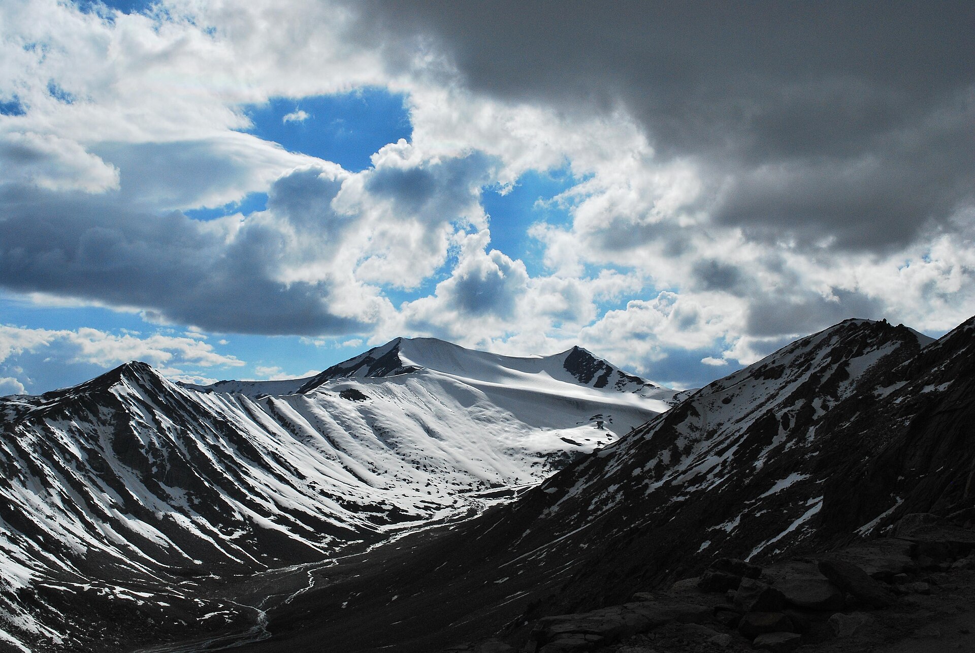
The sheer scale of the mountains explains why the region is defined by its high passes.Photo: kamaljith · CC BY 2.0
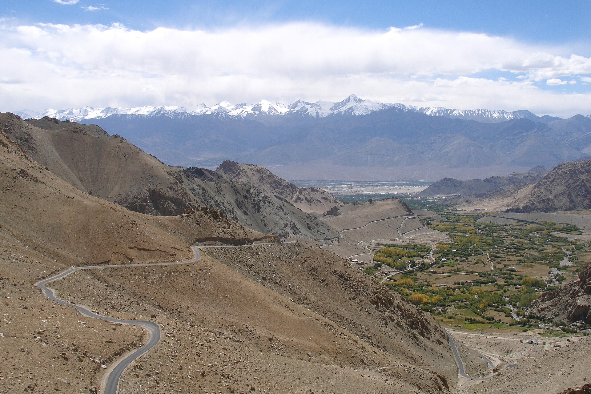
When you look at a map of Ladakh, it is impossible to ignore the sheer density of jagged, overlapping mountain lines. It is a region where the earth seems to have buckled upward in a desperate reach for the sky. It is no wonder that the local nickname—the land of high passes—has stuck for centuries.
To understand why is Ladakh called the land of high passes, you have to look at the intersection of two major mountain systems. The region is not just a place you visit; it is a geographic barrier that has dictated human movement, trade, and culture for millennia.
The Himalayan and Karakoram Influence
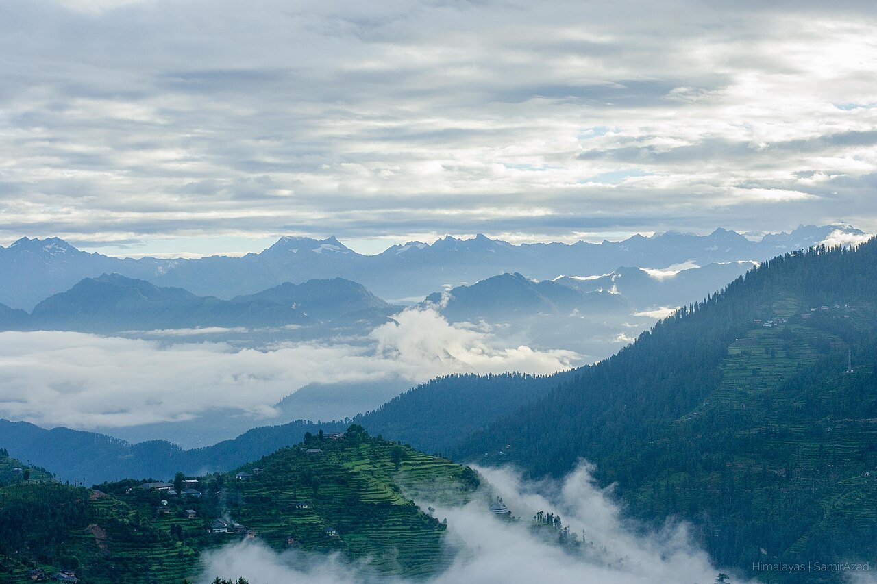
Ladakh is caught in a tectonic squeeze. To the south, the Great Himalayas rise as a massive wall, blocking the monsoon rains that drench the rest of India. To the north, the Karakoram range stands as a jagged, glaciated sentinel.
The interaction between these two ranges has created the unique, arid environment we see today. Because these mountains are so high, they force the air to rise, cool, and lose its moisture before it ever reaches the Ladakh valleys. This results in the high-altitude desert climate that makes the region both harsh and strikingly beautiful.
Key Mountain Passes of the Region
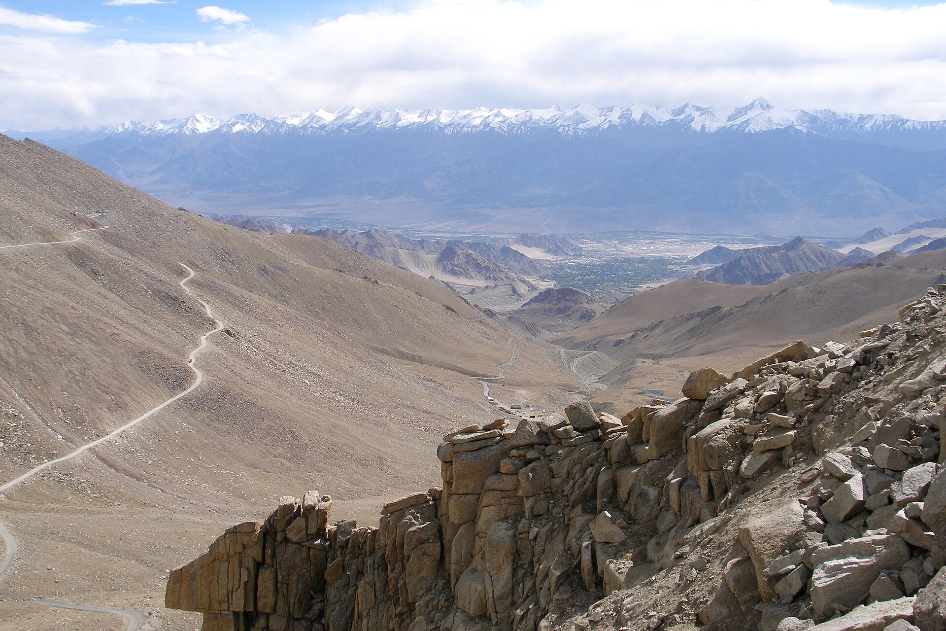
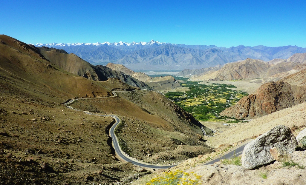
The 'passes' in the title refer to the singular, narrow gateways through these mountain walls. Without these, the region would be virtually impenetrable. Khardung La is the most famous example, acting as the primary artery connecting the Indus Valley in Leh to the Shayok and Nubra Valleys.
Then there is Chang La, which leads toward the Pangong Tso, and Zoji La, the gateway that historically connected Ladakh to the Kashmir Valley. Each of these passes sits at an elevation where human habitation is nearly impossible, serving only as transit points for those brave or determined enough to cross.
Historical Trade Routes and Passes
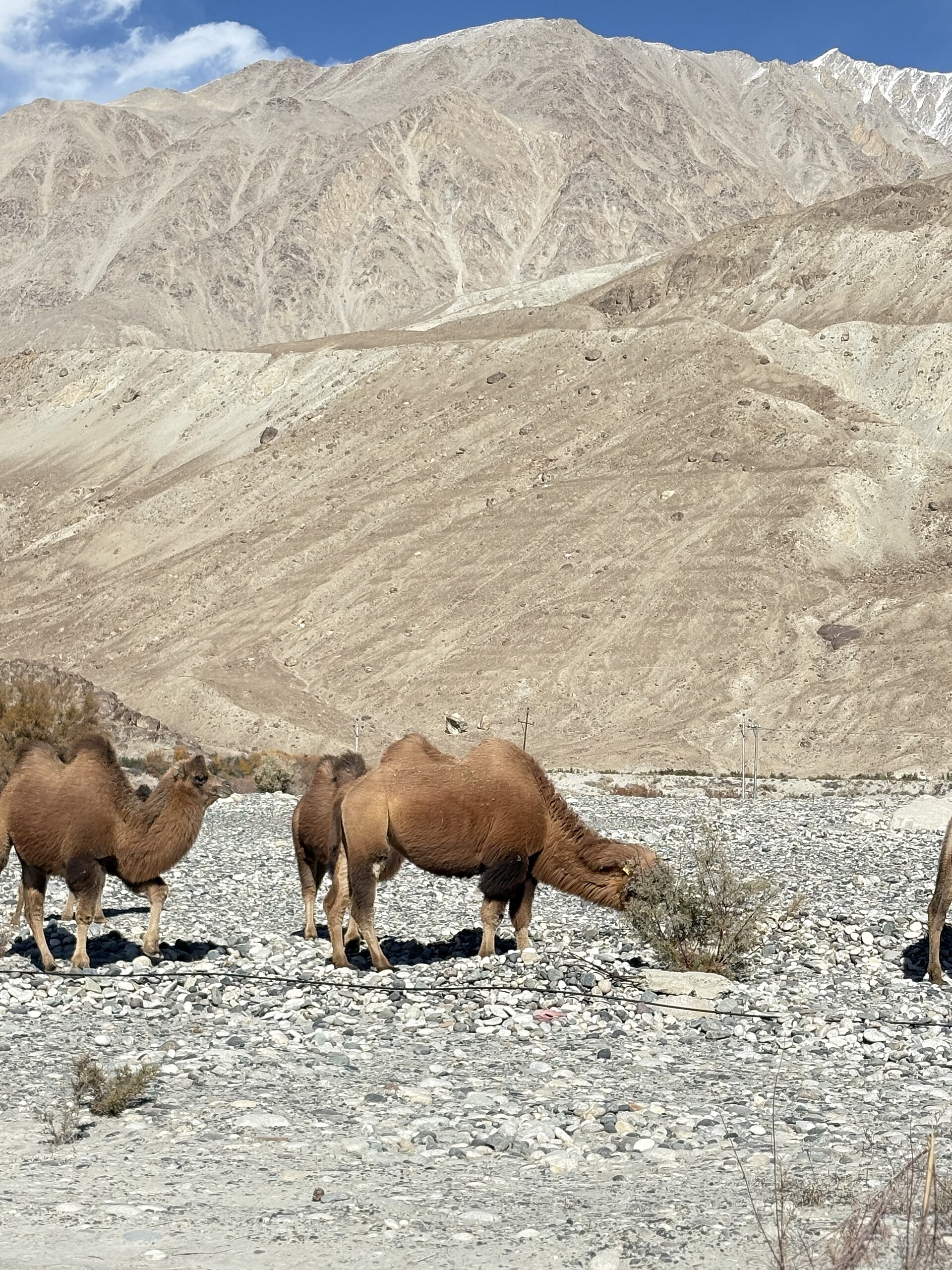
Before the modern roads, these passes were the backbone of the Silk Road. Caravans carrying pashmina wool, tea, salt, and spices navigated these high-altitude corridors. The mountain passes were not just obstacles; they were the checkpoints of an ancient global economy.
Merchants had to time their crossings perfectly with the seasons. A pass that was open in August might be buried under five metres of snow by October. The survival of these traders depended entirely on their knowledge of the topography—knowing which valley offered shelter and which pass was likely to be blocked.
How Geography Shapes Ladakhi Culture
The isolation forced by these mountain barriers has allowed a distinct culture to flourish. Because movement between valleys was restricted for much of the year, Ladakhi communities developed unique self-sustaining practices.
You see this in the architecture of the monasteries, built directly into the cliff sides to save fertile valley floor space, and in the focus on communal resource management. The geography dictated that if you didn't work with your neighbours to manage water and grazing land, you wouldn't survive the winter. This deep cooperation is still at the heart of the village life you see today.
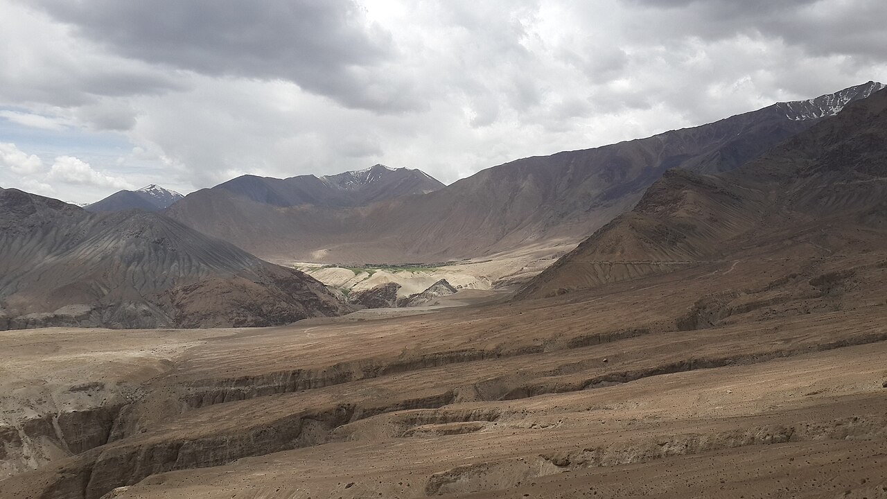
The Beauty of High-Altitude Desert Landscapes
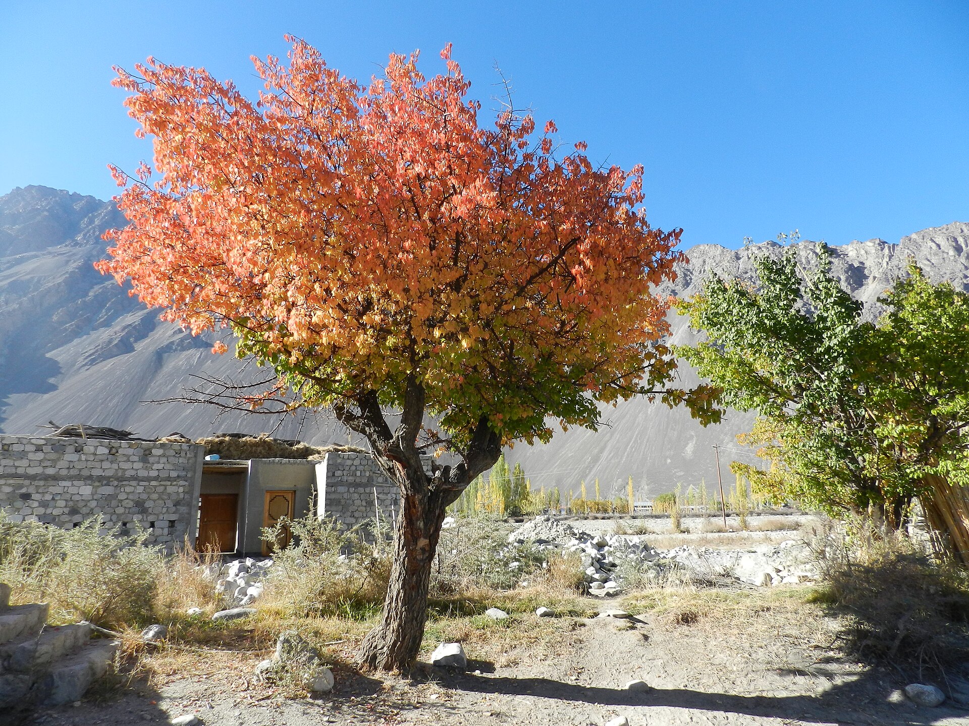
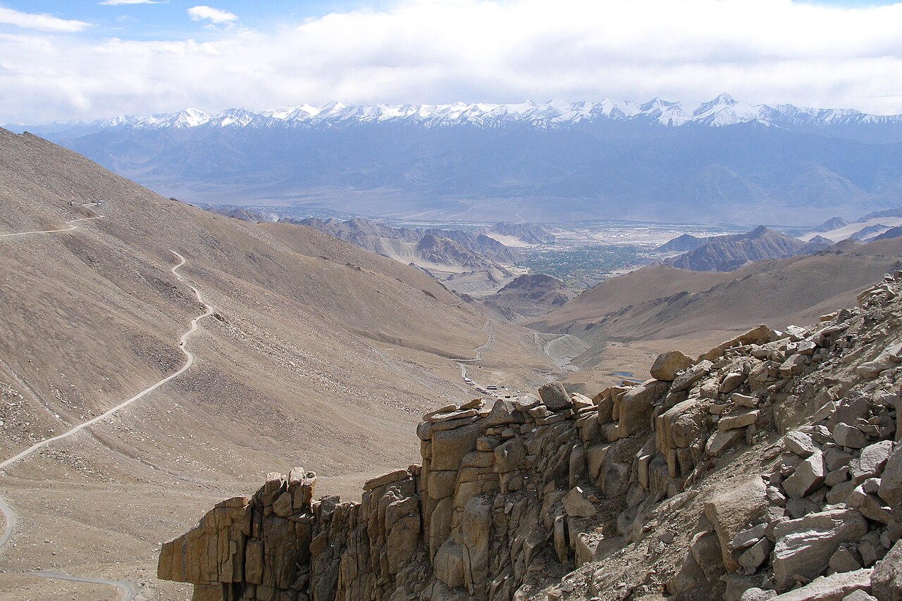
Beyond the utility of the passes, there is the raw, unadorned beauty of the landscape. The desert colours range from deep terracotta and ochre to the stark grey of granite, all set against a sky that looks unnaturally blue at this altitude.
Standing at a pass like Khardung La, you get a perspective that is impossible to find elsewhere. You can see the waves of mountains stretching into the horizon, each range revealing a different layer of geological time. It is a place that makes you feel very small, which is perhaps why so many travellers come back year after year.
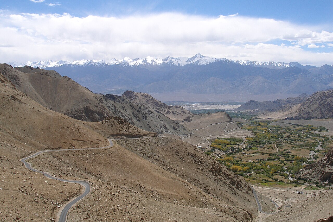
Before you book
The geography of Ladakh is not just a backdrop for your photos; it is the reason the region exists in its current form. The high passes serve as both a challenge to the visitor and a shield for the culture.
If you want to understand the scale of these mountains, the only way is to see them for yourself. When you are ready to plan your trip, reach out to our team at Skywale Packages.
Ready to explore the land of high passes?
We know these routes better than anyone. Let us help you craft an itinerary that respects the terrain and gets you to the best viewpoints.
Get in TouchWritten by
Kashmir, Jammu & Ladakh specialists
We plan and run trips across Kashmir, Jammu and Ladakh every week of the year. Everything here comes from routes we drive, stays we inspect and questions our travellers actually ask.
Quick answers
Questions we get asked
What is the highest pass in Ladakh?
Khardung La is widely cited as the highest motorable pass in the region at 5,359 metres, though other remote areas have higher, non-motorable saddles.
Why is the landscape so dry?
The surrounding mountain ranges block moist clouds from reaching the valleys, creating a rain-shadow effect that makes Ladakh a cold, high-altitude desert.
Are all these passes open year-round?
No. Most high mountain passes in Ladakh, including Khardung La, are prone to closure during the winter months due to heavy snowfall and ice.
How did traders cross these in the past?
Traders used yaks and mules, moving in seasonal cycles that avoided the worst of the winter storms, often relying on local guides who knew the mountain patterns.
Can I visit multiple passes in one trip?
Yes, but it is exhausting. It is better to focus on one or two regions—like the Nubra Valley or the lakes—rather than trying to cross every high pass in a week.
Photography credits
- Photo: kamaljith · CC BY 2.0
- Photo: DiluteOxygen · CC BY-SA 4.0
- Photo: Samir Azad · CC BY-SA 4.0
- Photo: John Hill · CC BY-SA 4.0
- Photo: Vyacheslav Argenberg · CC BY 4.0
- Photo: Krishm27 · CC BY-SA 4.0
- Photo: Vyacheslav Argenberg · CC BY 4.0