Pangong to Tso Moriri Itinerary: The Ultimate Ladakh Lake Circuit
Navigating remote dirt tracks, high altitude passes, and nomadic plains.
A well-planned pangong to tso moriri itinerary lets you skip returning to Leh. Here is how to navigate the Changthang plateau safely.
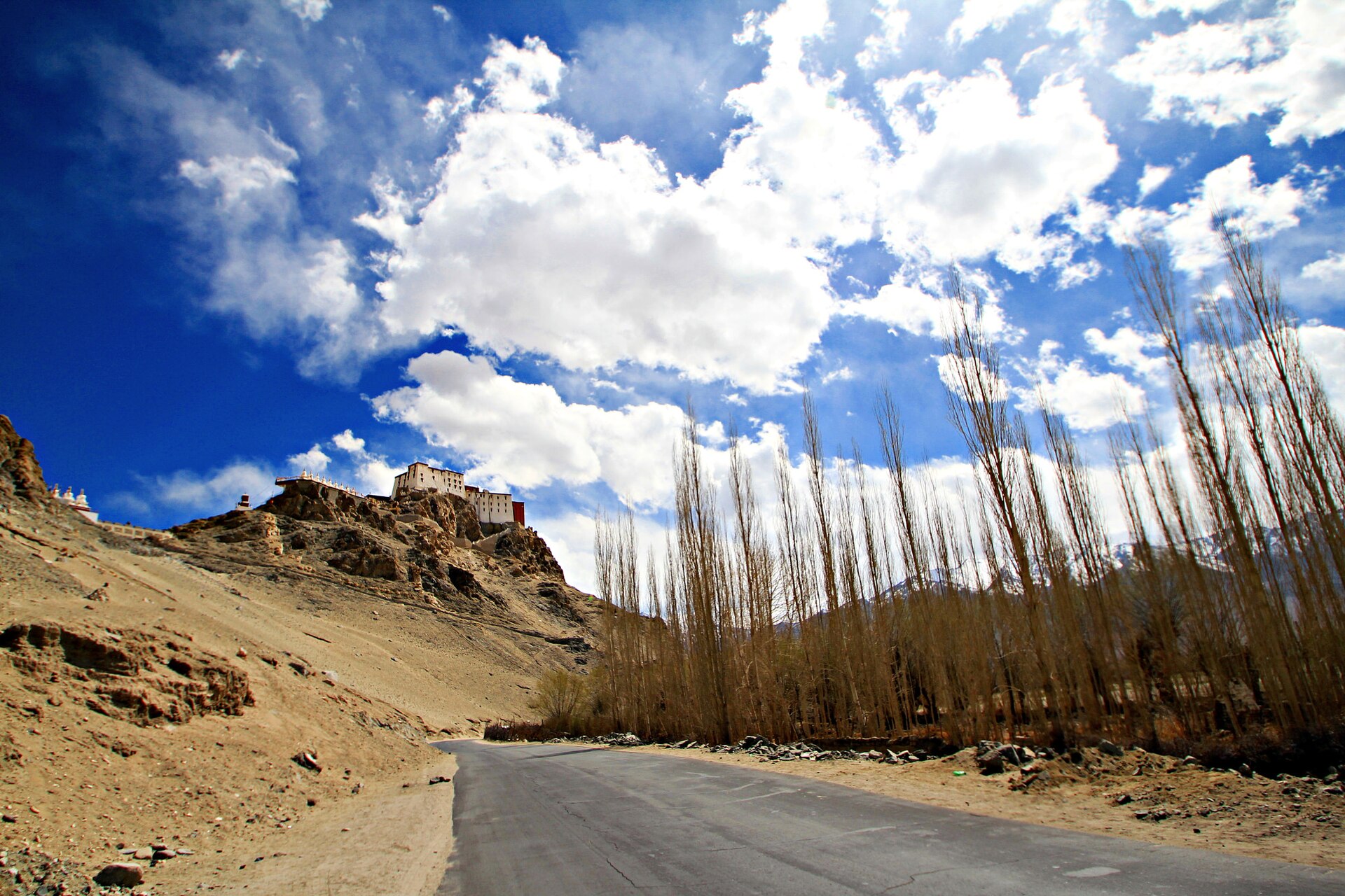
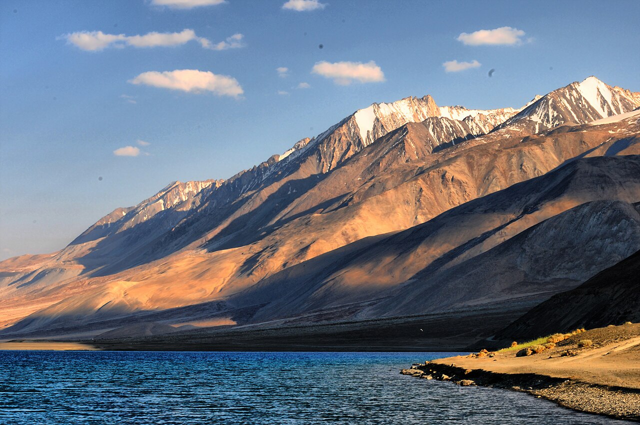
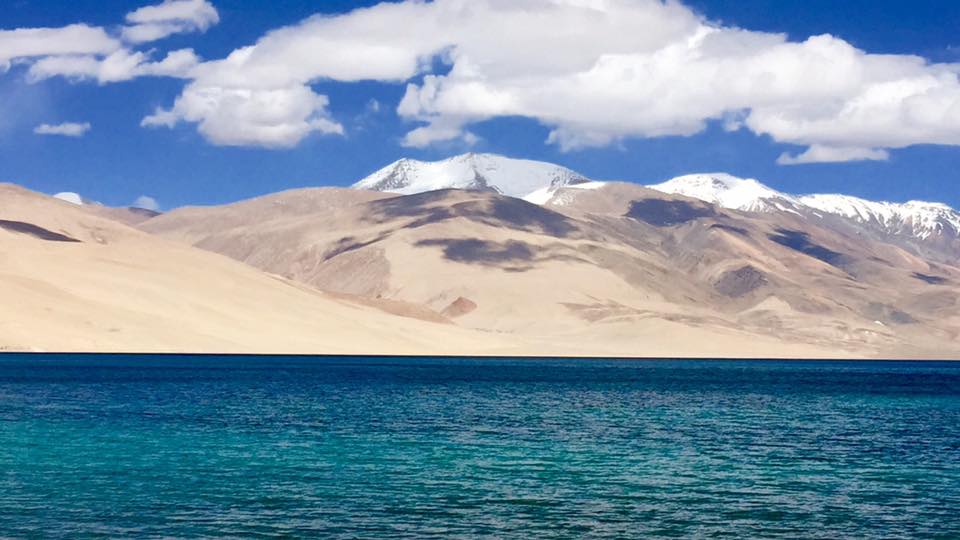
Navigating the remote gravel tracks between Pangong and Tso Moriri.Photo: Arindam Das · CC BY 3.0
Most travellers make the mistake of driving from Leh to Pangong, driving all the way back to Leh, and then driving south to Tso Moriri. It is a wasteful loop that eats up precious holiday hours on tarmac you have already seen. If you want to experience the real high-altitude desert, you link the two waters directly through the desolate expanses of Changthang.
Designing a workable pangong to tso moriri itinerary requires respect for gravel tracks, military checkpoints, and rapidly shifting mountain weather. You are driving through frontier territory where mobile phones stop working and fuel stations do not exist for hundreds of kilometres. When we take clients across this route, every jerry can of diesel and every permit stamp is checked twice.
Here is how we structure this multi-day traverse to keep you safe, comfortable, and awe-struck rather than stranded with a blown shock absorber.
Why Combine the Two Lakes in One Circuit?
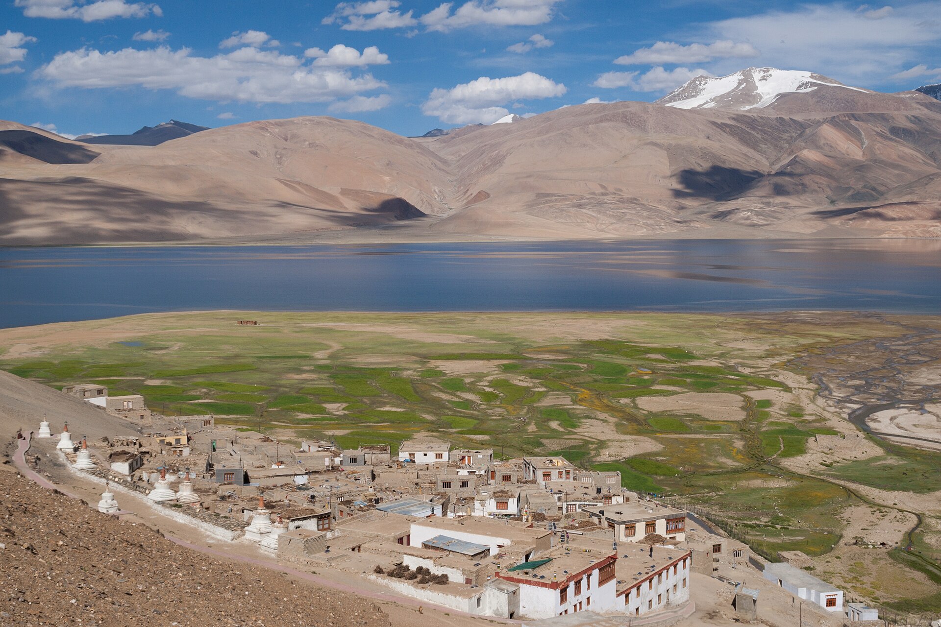
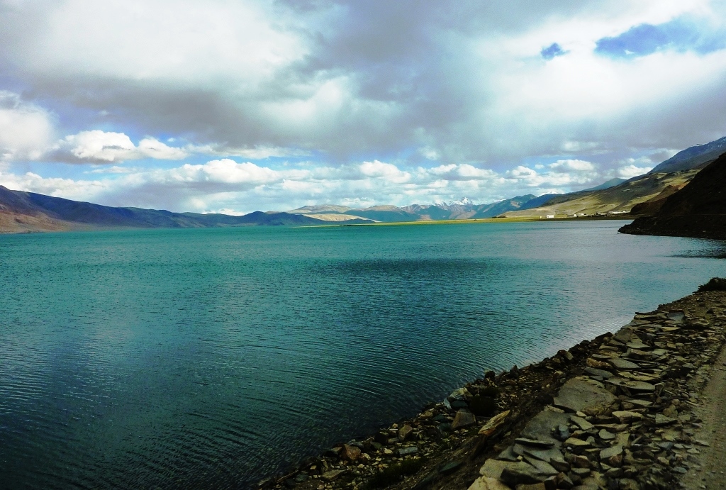
Pangong Tso and Tso Moriri share a high-altitude DNA yet possess completely distinct personalities. Pangong stretches out in long, theatrical brushstrokes of deep blue right up to the Chinese border, while Tso Moriri hides in a broad, silent basin where wild kiangs graze on golden tufts of grass. Linking them creates a cohesive Ladakh lake circuit that shows you the true scale of the Changthang plateau without unnecessary backtracking.
By avoiding the return trip to Leh between lake visits, you save at least six to eight hours of driving time and spare your body another jarring descent and ascent. You stay elevated, which actually helps your acclimatisation process once your system adjusts to living above 4,000 metres for consecutive days.
- Eliminates hours of repetitive driving back through Leh
- Maintains high-altitude acclimatisation across the plateau
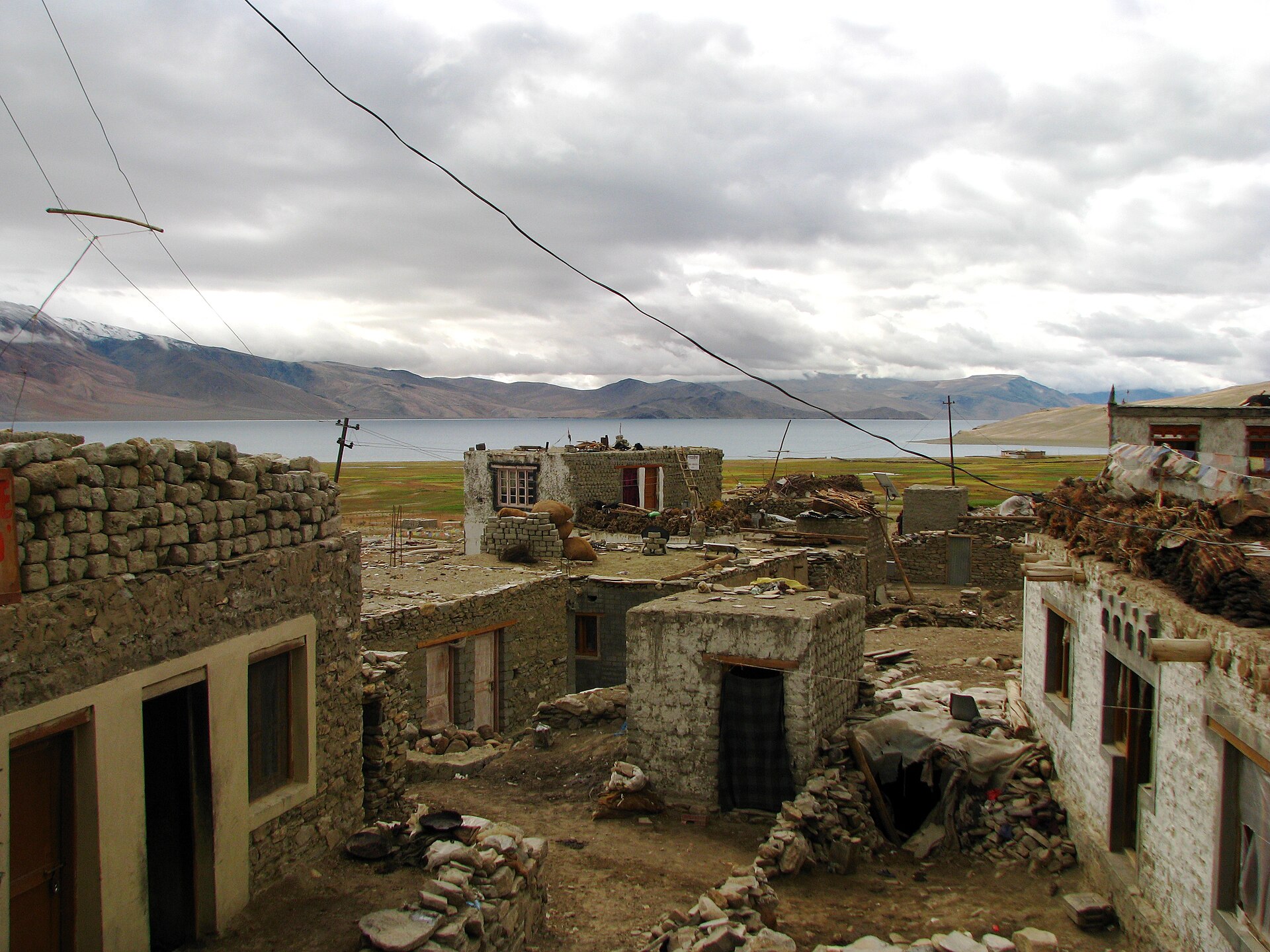
- Exposes you to remote nomadic settlements like Merak and Chusul
- Maximises scenery while minimising logistical friction
A Recommended 2-Day Transit Plan
Attempting to drive directly from Pangong to Tso Moriri in a single day is exhausting and risky. The terrain is unpaved, speeds average around 30 kilometres per hour, and unexpected river crossings can slow you down. We always break the journey with an overnight stop, typically in Hanle or Loma, depending on permit approvals.
Day one takes you along the southern shores of Pangong through Merak and Chusul, past memorial sites, and across stark valley floors to Hanle for the night. Day two pushes south past Mahe bridge and Sumdo before climbing up to the shores of Tso Moriri. This pace gives your kidneys and lungs time to cope with the physical demands of the drive.
Day One: Pangong to Hanle via Chusul
You depart Pangong early in the morning while the water is still glassy. The road hugs the lake edge past Merak, eventually turning into a rugged dirt track toward Chusul. You will pass stark war memorials and wide plains where wild horses roam freely before arriving in Hanle by late afternoon.
Day Two: Hanle to Tso Moriri via Mahe
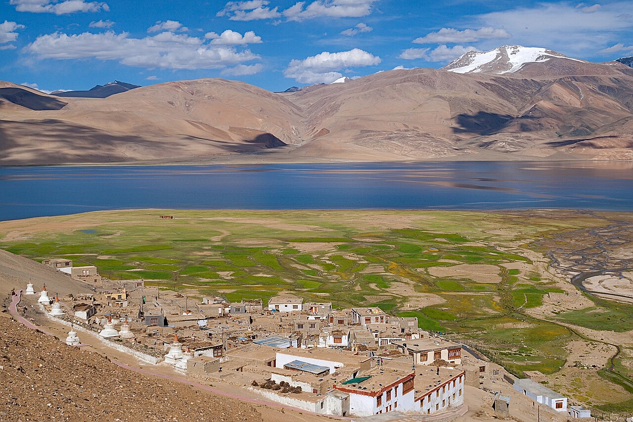
Leaving Hanle, you track back toward Loma bridge, following the Indus River south. The road winds through rugged canyons before opening up into the vast basin leading up to Korzok and Tso Moriri.
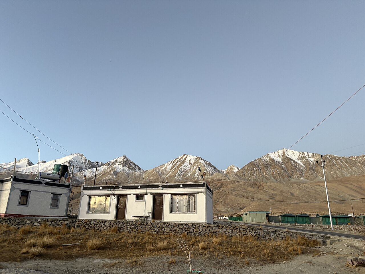
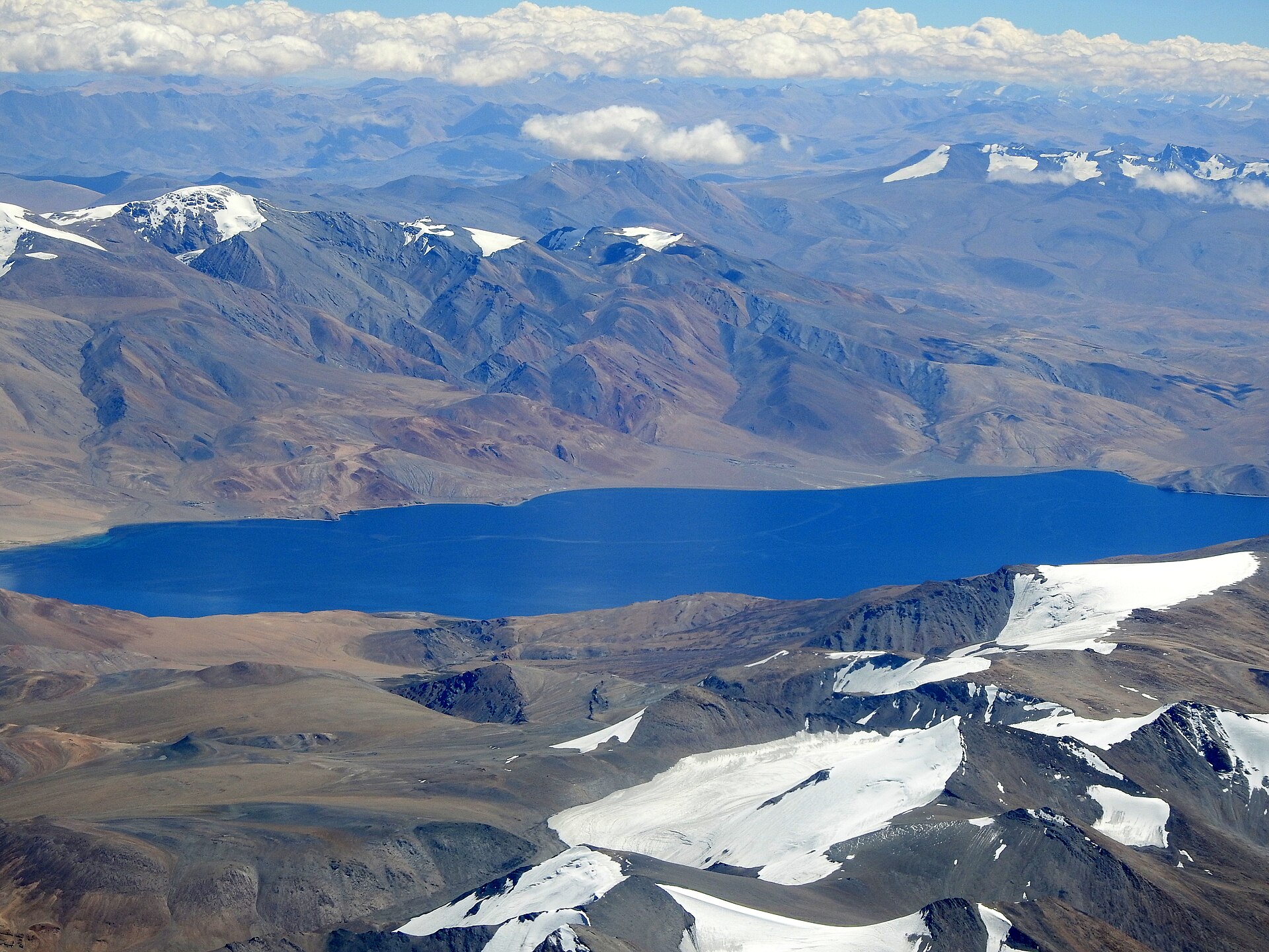
Most travellers make the mistake of driving from Leh to Pangong, driving all the way back to Leh, and then driving south to Tso Moriri.
Stops You Cannot Miss Along the Track
The transit corridor between the lakes is packed with sights that casual tourists miss entirely. In Chusul, you catch a glimpse of frontier history and wide valley vistas that stretch endlessly toward the horizon. Further along, the detour to Hanle rewards you with the sweeping views from Hanle Monastery and one of the world's highest astronomical observatories.
As you cross the bridge at Loma, keep your camera ready for hot springs and deep river gorges cutting through colourful mineral soils. Every bend in the track reveals new geological formations, from purple shale hills to emerald green marshlands where black-necked cranes nest in summer.
Handling the Rough Terrain and Altitude
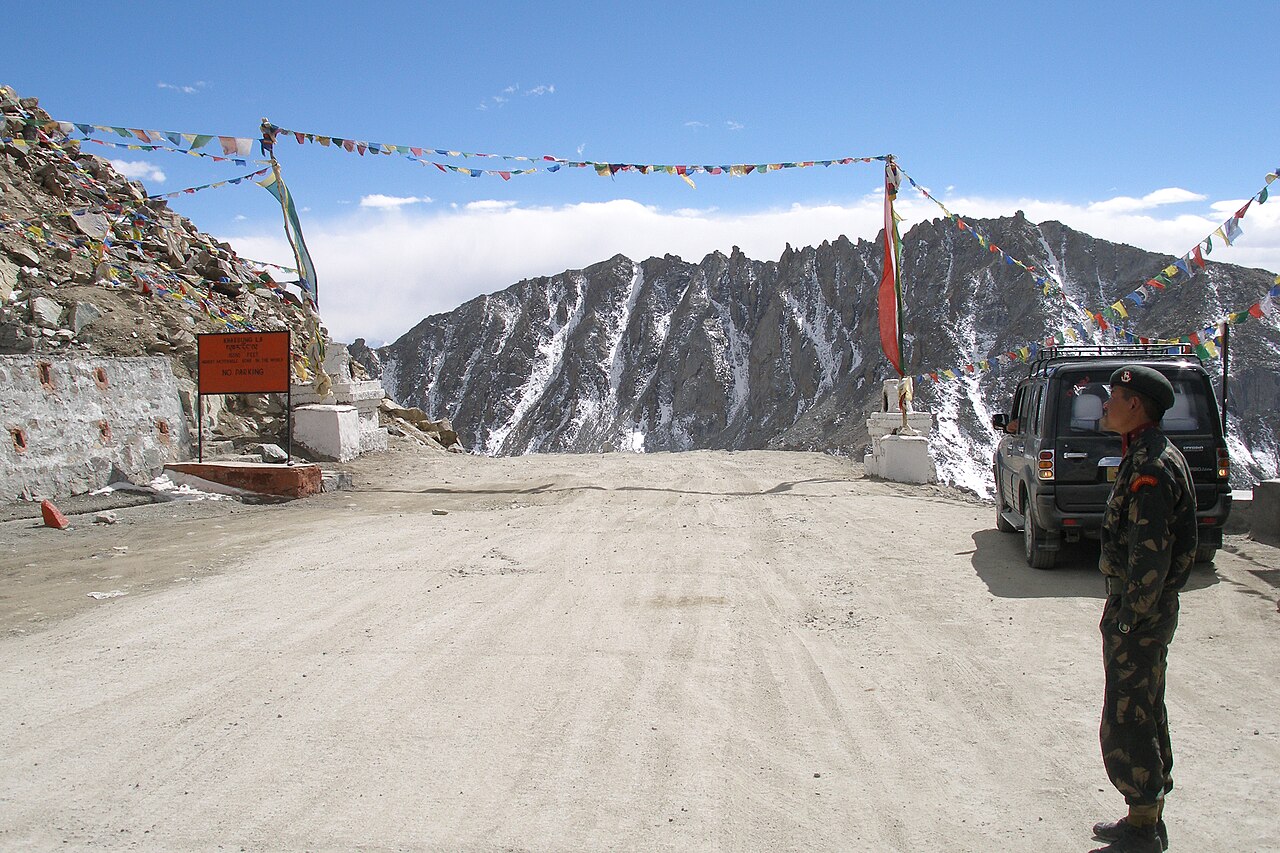
Let us be entirely honest about the road conditions: for large stretches, there is no road, only gravel tracks, corrugations that rattle your teeth, and occasional water streams flowing directly across your path. Ground clearance is far more important than engine horsepower here. A standard sedan will lose its oil pan within the first twenty kilometres.
Altitude sickness is a real threat when climbing mountain passes like Tsaga La, which sits well over 4,500 metres. Drink litres of water, avoid heavy meals right before crossing passes, and let your driver know immediately if you feel a pounding headache or nausea setting in.
- Expect washboard gravel tracks and unpaved river crossings
- Passes exceed 4,500 metres in elevation with thin air
- Dust clouds kicked up by passing vehicles require face buffs
- Sudden afternoon hailstorms can reduce visibility to zero
Best Transport Methods for This Route
Do not attempt this sector in a rented self-drive hatchback or a standard tourist cab from outside Ladakh. You need a sturdy four-wheel-drive vehicle like a Mahindra Scorpio or Toyota Fortuner, driven by a local Ladakhi professional who knows every bump, rock, and detour on the Changthang plateau.
Local drivers know how to read tire tracks across featureless plains and understand engine behaviour in low oxygen environments. When mechanical trouble strikes miles from the nearest village, having an experienced local behind the wheel is worth every single rupee of your tour fee.
Permits and Bureaucratic Essentials
You cannot simply point your car south from Pangong and drive. This entire circuit runs close to international borders, requiring strict Inner Line Permits for all Indian nationals and Protected Area Permits for foreign visitors. These must be processed in Leh through a registered travel agent before departure.
Checkpoints at Chusul, Loma, and Mahe inspect these papers meticulously. We always print multiple copies of your permits because checkpoint guards stamp and keep individual sheets at every barrier. Read more about regional logistics on our Leh and Hemis Monastery guides before booking your transport.
Before you book
Executing a smooth pangong to tso moriri itinerary transforms an ordinary holiday into a true expedition across one of Asia's most dramatic landscapes. Respecting the altitude, securing the right vehicle, and allowing time to absorb the silent majesty of Changthang makes all the difference.
If you want expert drivers, foolproof permit processing, and well-organized overnight stops along this legendary lake circuit, get in touch with our team today.
Ready to Conquer the Changthang Circuit?
Let our experienced local drivers and planners handle the permits, 4x4 logistics, and remote stays for your Ladakh lake expedition.
Plan Your RouteCaption for your own post
Crossing the high plains from Pangong to Tso Moriri is the ultimate Ladakh road trip test. Here is how we do it right.
Written by
Kashmir, Jammu & Ladakh specialists
We plan and run trips across Kashmir, Jammu and Ladakh every week of the year. Everything here comes from routes we drive, stays we inspect and questions our travellers actually ask.
Written from roadside stops along the Chusul track while checking tire pressure and admiring wild kiangs.
Quick answers
Questions we get asked
Can I drive from Pangong to Tso Moriri in one day?
It is technically possible, but highly discouraged. The distance is roughly 250 kilometres over rough, unpaved tracks, taking 8 to 10 grueling hours and increasing your risk of severe altitude sickness.
What vehicle is best for the Pangong to Tso Moriri route?
A high-ground-clearance four-wheel-drive vehicle such as a Mahindra Scorpio or Toyota Fortuner is essential. Low-slung cars will suffer severe damage on the rocky tracks.
Are petrol pumps available between Pangong and Tso Moriri?
There are no official fuel stations on this entire route. You must carry extra diesel in jerry cans loaded directly into your vehicle before leaving Leh.
Do I need a special permit for the Chusul route?
Yes. Your Inner Line Permit must specifically list Chusul, Tsaga, Hanle, and Loma. Standard tourist permits for Pangong and Tso Moriri alone will not pass the military checkpoints.
Is mobile network available on this road?
No. Cellular service completely disappears shortly after leaving Pangong and does not return until you reach select spots near Hanle or back near Leh.
Photography credits
- Photo: Arindam Das · CC BY 3.0
- Photo: Harvinder Chandigarh · CC BY-SA 4.0
- Photo: Kashmir photographer · CC BY-SA 4.0
- Photo: DiluteOxygen · CC BY-SA 4.0
- Photo: Original: Rafał Kozubek Derivative work: UnpetitproleX · CC BY-SA 3.0
- Photo: Karan Dhawan India · CC BY-SA 4.0
- Photo: Vyacheslav Argenberg · CC BY 4.0