Navigating Ladakh’s Lakes: Distance from Pangong to Tso Moriri
Planning your route across the high-altitude wilderness between two of Ladakh’s most iconic water bodies.
Wondering how far is tso moriri from pangong lake? Discover the realities of the high-altitude transit, road conditions, and essential logistics for your summer trip.
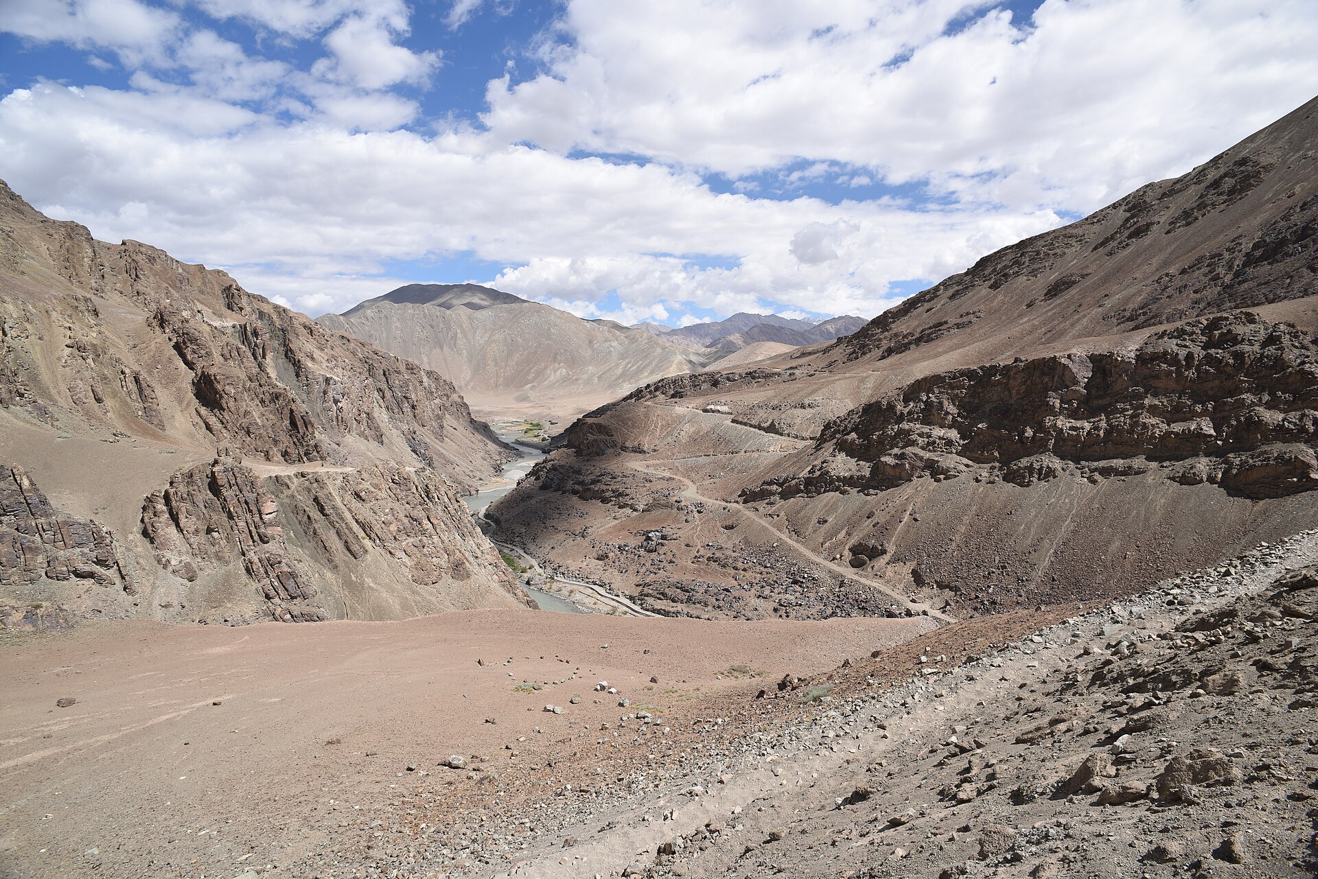
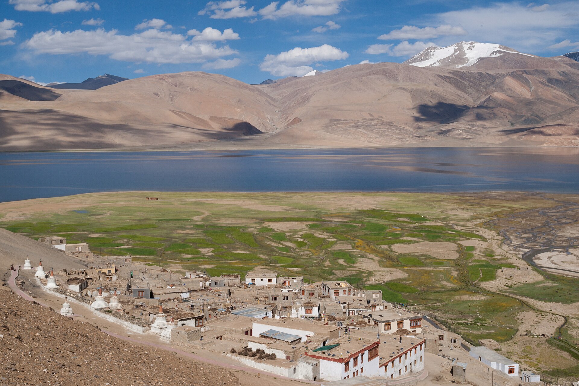
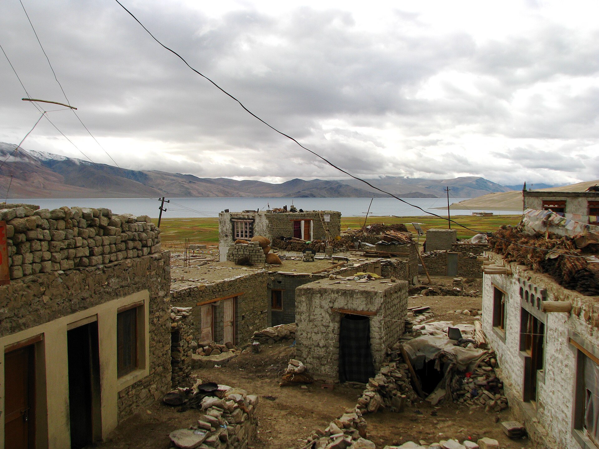
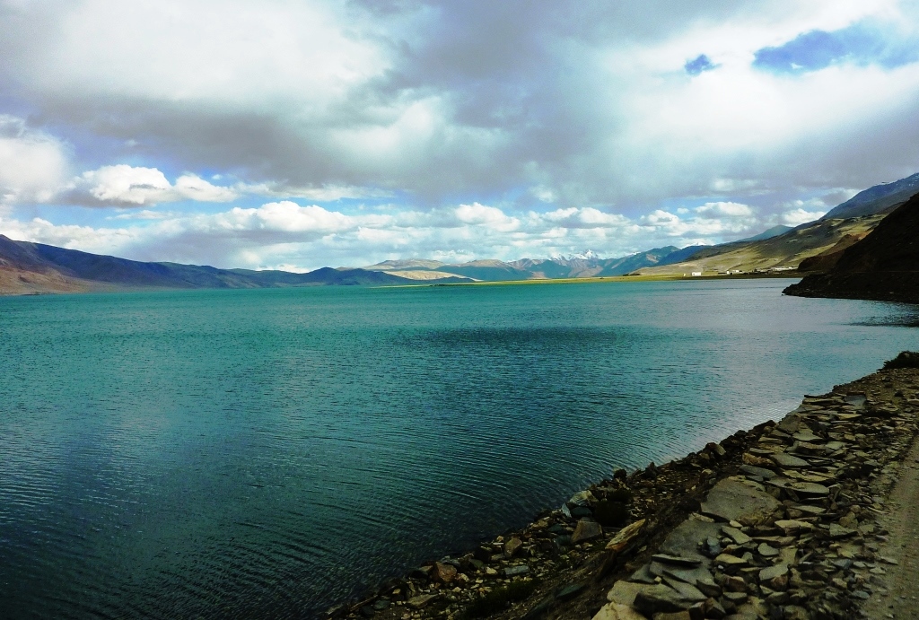
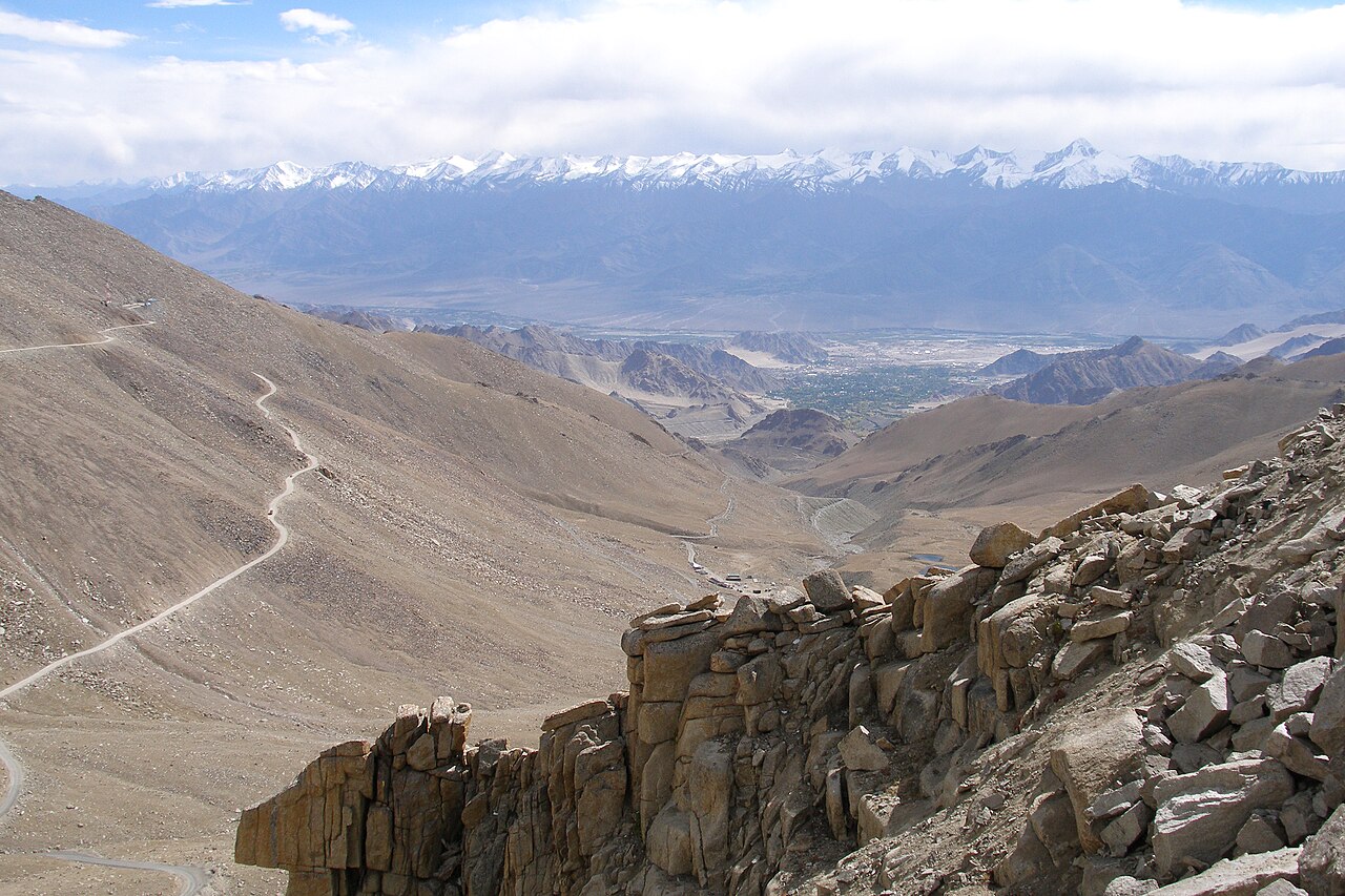
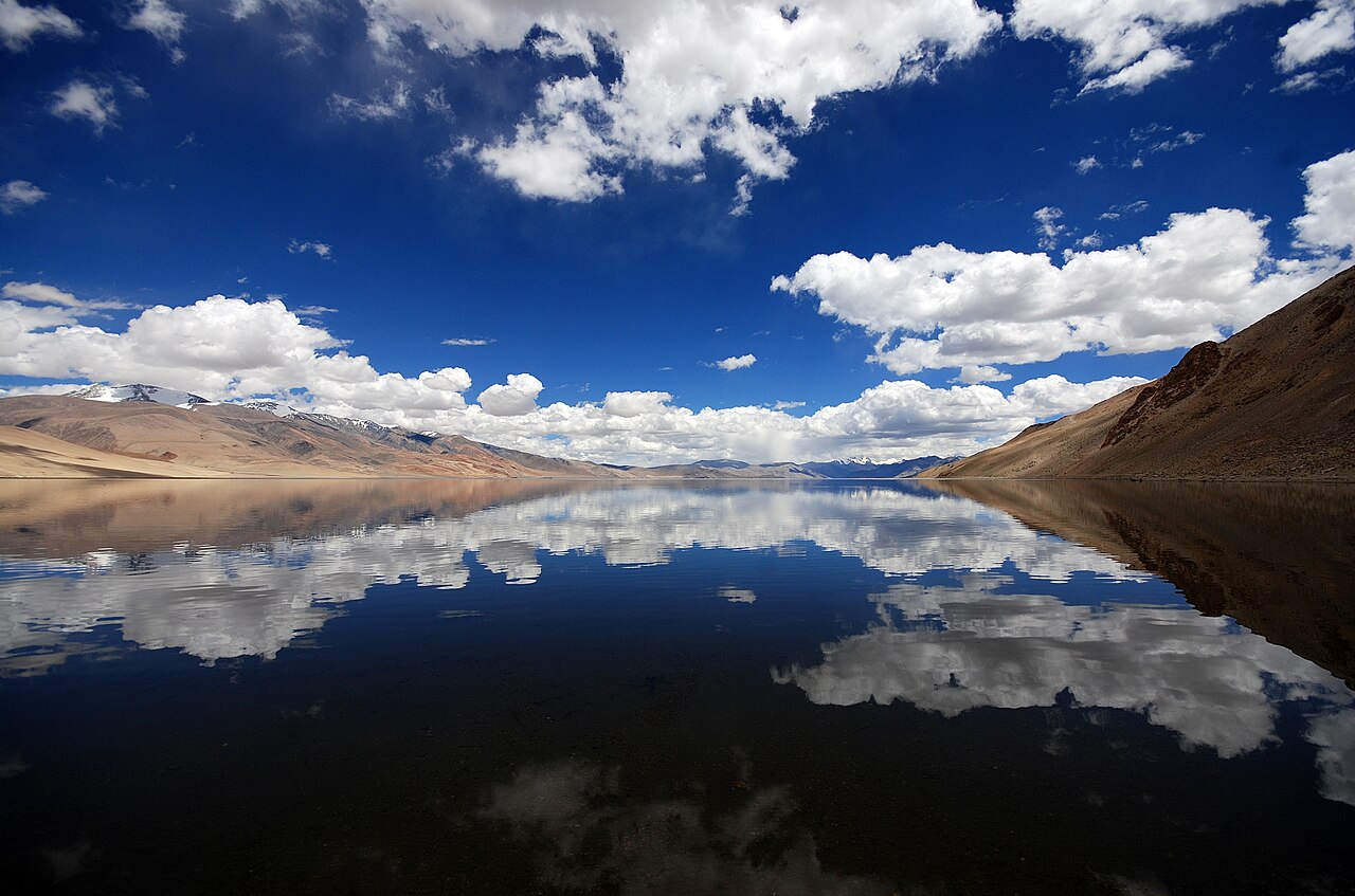
The road between the lakes is a raw, demanding track that cuts through the heart of the Changthang plateau.Photo: Chris Hunkeler from Carlsbad, California, USA · CC BY-SA 2.0
The silence between Pangong Tso and Tso Moriri is not empty; it is a heavy, humming presence that stays with you long after the engine cuts out.
The first time I crossed this stretch, I expected a simple coastal drive. Instead, I found a landscape that demands respect. You are moving through one of the most sparsely populated corridors in the Himalayas, where the distance from Pangong to Tso Moriri is measured not in kilometres, but in hours of concentration behind the wheel.
Most travellers focus on the beauty of the lakes themselves. However, the true story of Ladakh lies in the rugged, high-altitude transit between them. Whether you are coming from the blue expanse of Pangong or aiming for the quiet intensity of Tso Moriri, this route is about managing expectations and terrain that changes by the mile.
Mapping the Ladakh Lake Circuit
The route connecting these two giants represents the pinnacle of a Ladakh road trip. You are traversing the Changthang region, a high-altitude plateau that feels more like the Tibetan interior than the valleys of lower Ladakh. This is not a commuter road; it is a dirt track that winds through valleys carved by ancient glaciers.
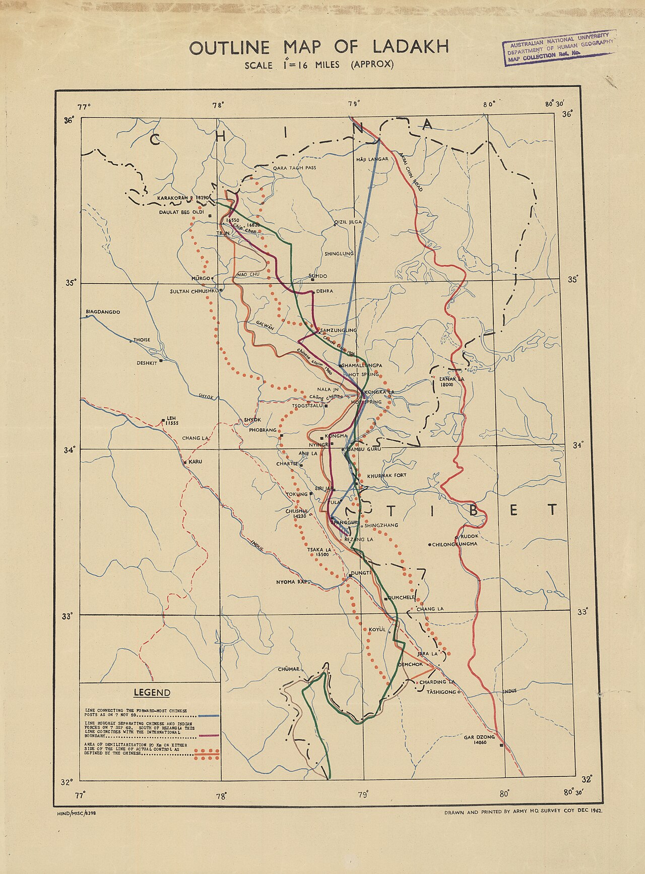
Because of the sensitive nature of the border regions, the path is dictated by the Inner Line Permit. Always ensure your documents are printed in triplicate before leaving Leh. When we arrange these routes for our clients, we remind them that the map often lies; a distance of 200 kilometres can easily take ten hours if the weather shifts or a nullah (water crossing) rises with the afternoon melt.
The Chushul-Nyoma Corridor
To understand the distance from Pangong to Tso Moriri, you have to look at the primary artery: the Chushul-Nyoma road. This track runs roughly parallel to the border and offers some of the most raw, untouched scenery in the country. It is a stark, dust-choked journey that requires a high-clearance vehicle.
You will bypass the crowds of Pangong and descend into the vast, open plains of the Indus valley. Do not expect petrol pumps or mobile networks here. You are entirely self-reliant for this segment, which is why we insist on carrying extra fuel canisters and emergency rations.
Driving Times and Realities
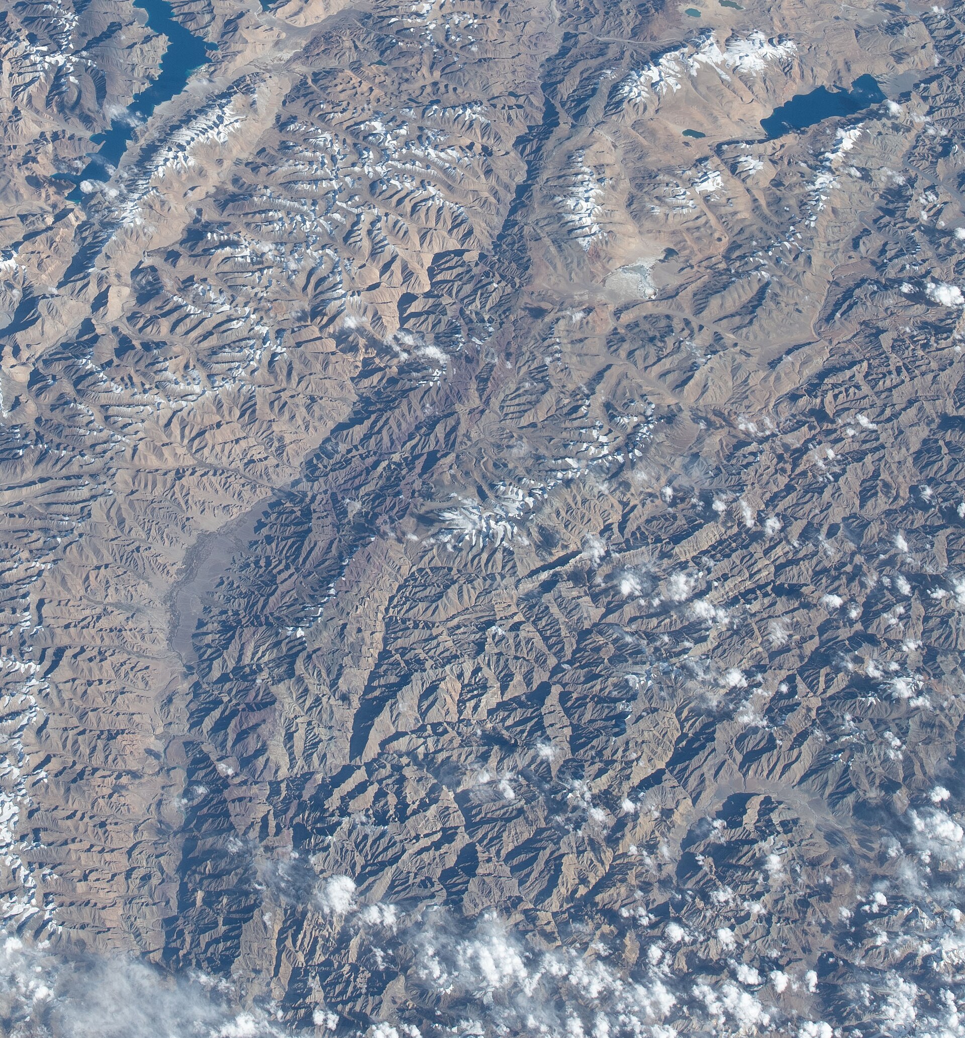
Expect to spend anywhere from eight to twelve hours in the vehicle. The road surface oscillates between graded gravel, loose scree, and occasional smooth tarmac that disappears as quickly as it arrives. Average speeds rarely exceed 25-30 kilometres per hour, regardless of what your GPS claims.
I always tell travellers to start before dawn. By noon, the wind starts to howl off the plateau, lifting fine dust that can obscure the track. If you leave at 6:00 AM, you stand a better chance of reaching the Tso Moriri basin before the shadows lengthen and the temperature drops to bone-chilling levels.
Essential Stops Along the Way
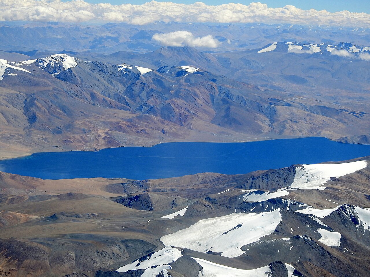
The beauty of this route is that it forces you to stop. Rezang La is a somber and necessary pause, offering perspective on the history of this frontier. Further along, the junction at Nyoma acts as a vital reference point where you can stretch your legs and check your vehicle's underside for any damage from the rough transit.
You will likely pass through small settlements where the tea is hot and the hospitality is quiet. These are the places where you calibrate your altitude, drink your water, and remind yourself that the destination is merely one part of a much larger, slower process.
High-Altitude Logistics
Crossing the passes—many of which hover well above 4,500 metres—takes a toll on both engine and lungs. If you feel a headache, drink your water. If the car starts to sputter, gear down and keep your momentum steady. The thinner air impacts everything.
We suggest spending at least two nights in Leh or an intermediate village like Hemis before attempting this crossing. It is not just about the distance; it is about your physiological capacity to handle the shift in elevation. The altitude gain here is sudden and unrelenting.
Before you book
The transit from Pangong to Tso Moriri is the true test of any Ladakh itinerary. It is not designed for the faint of heart, nor for those who measure a trip by the number of photos they can post online. It is for those who want to see the land stripped of its pretense.
If you are ready for the long road and the thin air, we are here to help you get the permits and logistics in order. Drop us a line if you need a hand planning the crossing or finding the right driver for the job.
Planning your Ladakh expedition?
We know every turn of the road between Pangong and Tso Moriri. Let us handle the permits and logistics so you can focus on the mountains.
Contact UsWritten by
Kashmir, Jammu & Ladakh specialists
We plan and run trips across Kashmir, Jammu and Ladakh every week of the year. Everything here comes from routes we drive, stays we inspect and questions our travellers actually ask.
Quick answers
Questions we get asked
Can I drive from Pangong to Tso Moriri in a single day?
Yes, it is possible, but it is an exhausting 8-12 hour drive. We recommend an early start to navigate the rough Chushul-Nyoma road safely before the afternoon winds pick up.
Do I need a special permit for the road between the lakes?
Yes, your Inner Line Permit must cover the specific sectors of the Changthang region. Ensure your permit mentions all areas you intend to traverse, including the route via Nyoma or Chushul.
Is there mobile connectivity on the route?
No. Expect complete network isolation for the vast majority of the drive. Download your offline maps and let your hotel in Leh know your planned route and expected arrival time.
What is the best type of car for this journey?
A robust 4x4, such as a Toyota Fortuner or a Mahindra Scorpio, is essential. Front-wheel drive vehicles often struggle with the loose scree and steep, unpaved inclines found on this corridor.
Are there places to eat between the lakes?
Facilities are extremely basic. You might find a small shack selling tea and instant noodles in the rare village, but you must carry packed lunches, fruit, and plenty of water from your starting point.
Photography credits
- Photo: Chris Hunkeler from Carlsbad, California, USA · CC BY-SA 2.0
- Photo: Earth Science and Remote Sensing Unit , Lyndon B. Johnson Space Center · Public domain
- Photo: Vyacheslav Argenberg · CC BY 4.0
- Photo: US Army Headquarters, Survey Company · Public domain
- Photo: Harvinder Chandigarh · CC BY-SA 4.0
- Photo: Prabhu B · CC BY 2.0
- Photo: Candle Tree · CC BY-SA 4.0