Where is Dachigam National Park Located?
Navigating the sanctuary just outside the city
Dachigam National Park sits surprisingly close to Srinagar. We explain its location, altitude, and why this proximity is vital for its survival.
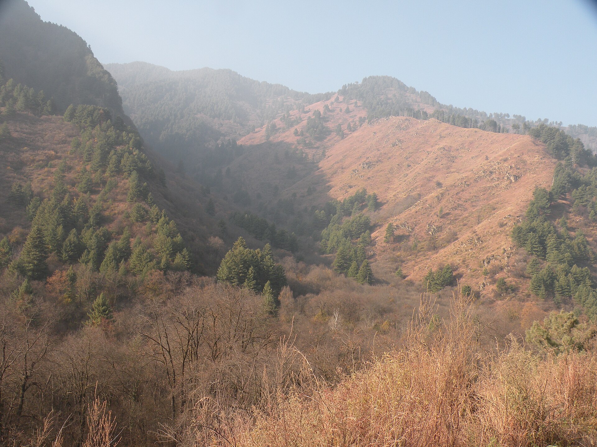
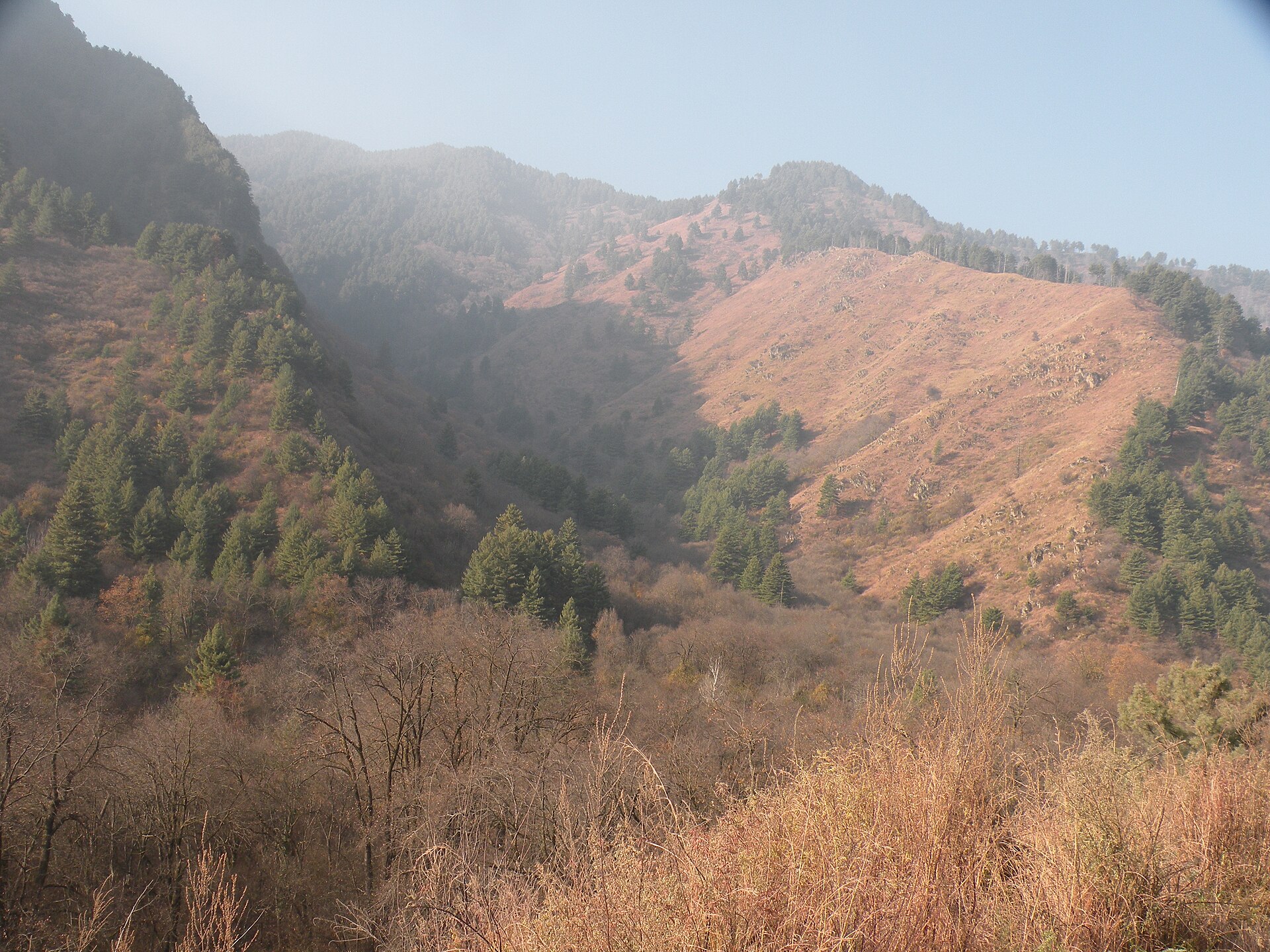
The Zabarwan Range, home to the Dachigam sanctuary.Photo: Tamjeed Ahmed · CC BY-SA 4.0
When I tell visitors that we can get from the crowded heart of Srinagar to the absolute quiet of a high-altitude sanctuary in less than an hour, they often look at me with disbelief. Yet, this is exactly what makes Dachigam special. It is a paradox of geography—a vast, rugged wilderness sitting at the doorstep of a bustling regional capital.
Understanding where is Dachigam National Park located means looking toward the Zabarwan Range, the eastern spine of the Kashmir Valley. It is not some distant, inaccessible mountain kingdom; it is a vital, protected lung just a short distance from the Dal Lake.
Geographic Location of Dachigam
Dachigam National Park spans roughly 141 square kilometres in the Zabarwan Range. If you look at a map, it sits east of Srinagar. The name itself, 'Dachigam', translates to 'ten villages', referring to the ten settlements that were once relocated to create this protected buffer.
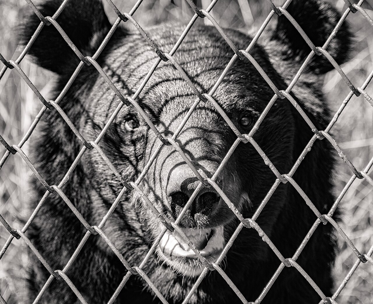
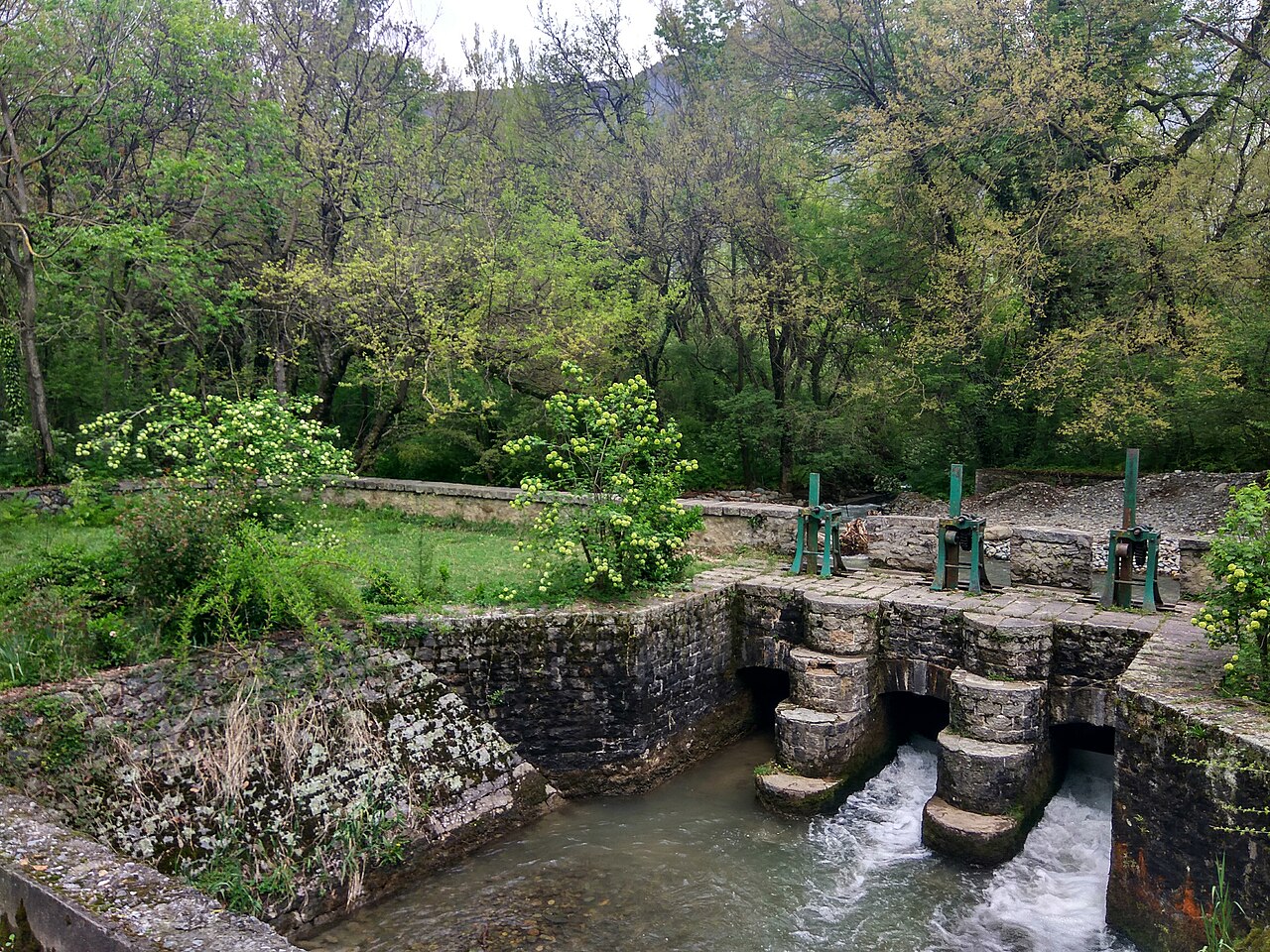
The park is defined by its relationship with the Dagwan River, which provides water to the city of Srinagar. The topography is rugged, characterized by steep, rocky ridges and deep, forested valleys. It is this sheer verticality that creates the variety of microclimates the Hangul and black bears rely on to survive.
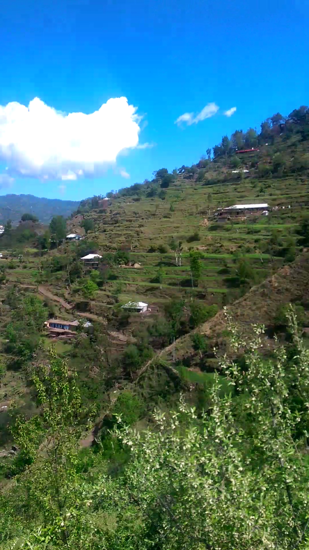
I have hiked the perimeter several times. The transition from the cultivated orchards outside the gate to the wild, untamed forest inside is abrupt. The land rises quickly, pulling you away from the human settlements and into a world where the primary inhabitants are leopards, bears, and the elusive stag.
Proximity to Srinagar City
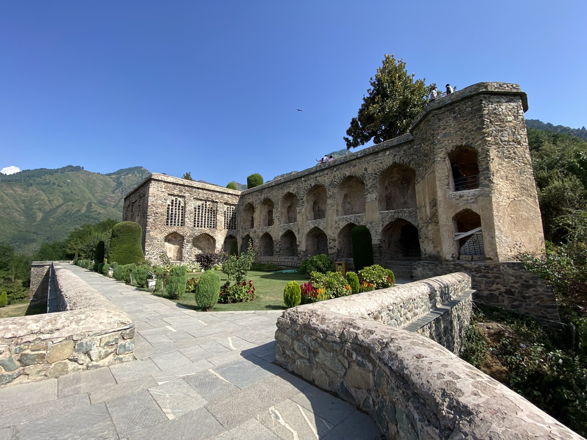
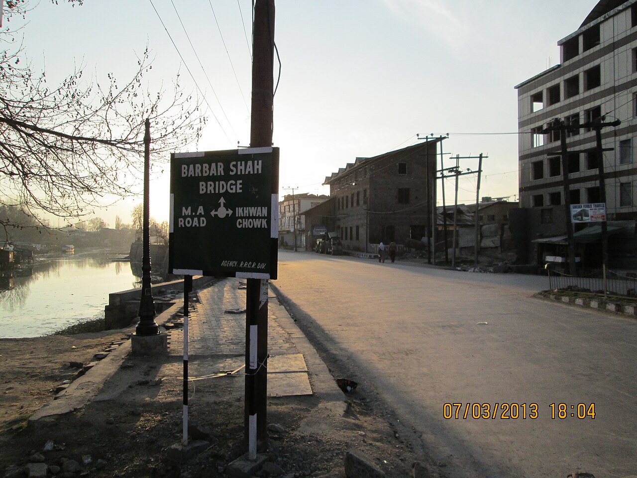
The park entrance is approximately 22 kilometres from the centre of Srinagar. Depending on traffic near the city outskirts, the drive takes anywhere from 45 to 60 minutes. You head east past the Mughal Gardens, leaving the urban sprawl of the city and entering a quieter, more rural stretch of road.
This proximity makes it one of the most accessible 'big' wildernesses in India. Most of our clients prefer to base themselves in a hotel near the Dal Lake, allowing for a relaxed morning start. You do not need to pack for a multi-day expedition just to enter the lower gates; you can spend a full day here and be back for dinner in the city.
The Altitudinal Range of the Park
The elevation of Dachigam is a major part of its story. It begins at roughly 1,700 metres and climbs up to 4,300 metres at its highest point, the Mahadev Peak. This massive range is why the park is so biologically diverse.
Animals here are vertical migrants. They spend their summers in the high alpine meadows and move down to the lower, sheltered valleys when the snow begins to pile up. For visitors, this means the 'viewing zones' shift throughout the year. You are essentially moving through different climate zones as you travel from the main gate up toward the higher reaches of the Dagwan catchment area.
Topography and Landscape Features
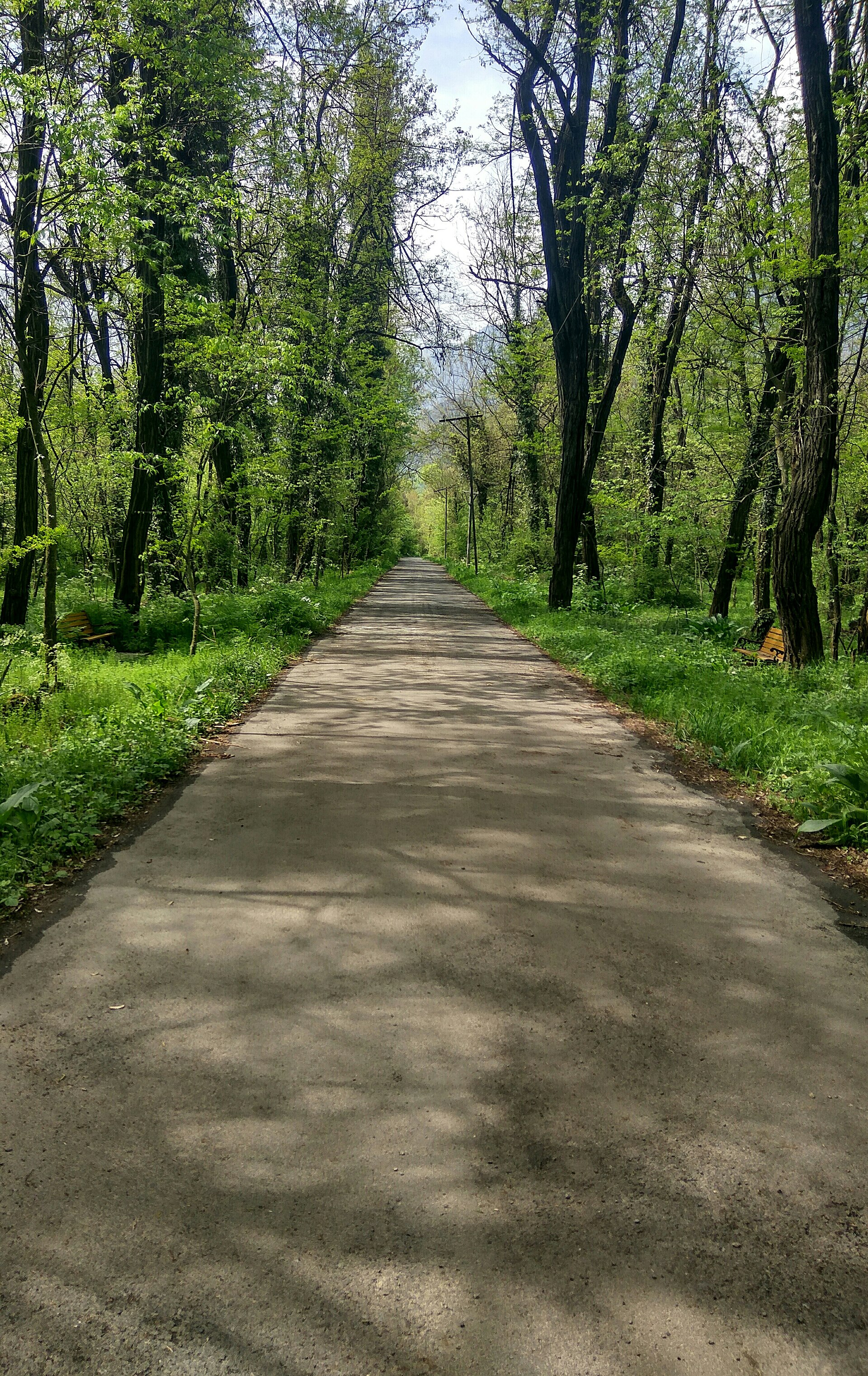
The landscape is a complex mix of riverine forests and alpine scree. The lower areas, which are the only parts usually open to tourists, feature thick stands of oak, horse chestnut, and willow. The ground is soft, leaf-littered, and rich with the damp scent of the forest floor.
Higher up, the trees thin out into birch and eventually give way to rocky slopes and meadows. The cliffs are steep and often inaccessible, which acts as a natural barrier to human encroachment. This creates a safe, protected haven for the wildlife, essentially sealing them away from the valley's development.
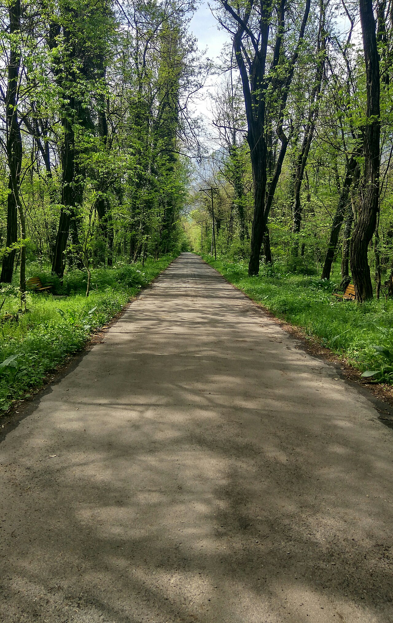
Why Its Location is Crucial for Conservation
The fact that this park is located so close to a city is both a blessing and a challenge. It serves as the primary water catchment area for Srinagar; protecting the forest is, quite literally, protecting the city’s water supply.
Because it is so near to urban areas, the park management has to be incredibly vigilant. There is constant pressure on the borders from livestock grazing and infrastructure projects. Its location makes it a 'frontline' park. Every person who enters and sees the value of this wild space helps build the case for its continued, strict protection.
Before you book
Dachigam remains a rare example of a genuine sanctuary sitting within a short drive of a major city. Its location is not just a point on a map; it is the reason for its existence and the key to its survival.
If you are planning your itinerary, remember that a trip here is easily paired with a visit to the nearby Mughal Gardens. Drop us a note if you need help planning your route.
Plan your trip with us
Need to know the best way to get to the park from your hotel in Srinagar? We can arrange transport and secure your park permits.
Contact UsWritten by
Kashmir, Jammu & Ladakh specialists
We plan and run trips across Kashmir, Jammu and Ladakh every week of the year. Everything here comes from routes we drive, stays we inspect and questions our travellers actually ask.
Quick answers
Questions we get asked
How far is Dachigam from Dal Lake?
It is about 22-25 kilometres from the main Dal Lake area, usually a 50-minute drive depending on the traffic in the city.
Is it easy to find Dachigam on a map?
Yes, look for the Zabarwan Range east of Srinagar. The national park is clearly demarcated on most topographical maps of the Kashmir Valley.
Can I visit without a guide?
No, you must have a permit, and the park authorities require you to be accompanied by a designated guide or forest guard for security and wildlife management reasons.
Is the location dangerous?
The park is heavily protected and safe for guided visitors. However, it is a wild habitat, so you should always stay on marked trails and follow your guide's instructions.
Are there towns inside the park?
No. The name 'Dachigam' means 'ten villages', referring to villages that were resettled elsewhere years ago to preserve the habitat.
Photography credits
- Photo: Tamjeed Ahmed · CC BY-SA 4.0
- Photo: A. J. T. Johnsingh, WWF-India and NCF · CC BY-SA 4.0
- Photo: Rohit Sharma · CC BY-SA 4.0
- Photo: Jyoti Chaurasia · CC BY-SA 4.0
- Photo: Giles Laurent · CC BY-SA 4.0
- Photo: Jyoti Chaurasia · CC BY-SA 4.0
- Photo: Rudolph.A.furtado · CC0