Understanding the Geography of Jammu and Kashmir
From the fertile valley floor to high mountain deserts: a clear look at the regions you will visit.
Get a clear tourism overview of the geography of jammu and kashmir. Understand the distinct regions, climate variations, and how to plan your multi-region trip.
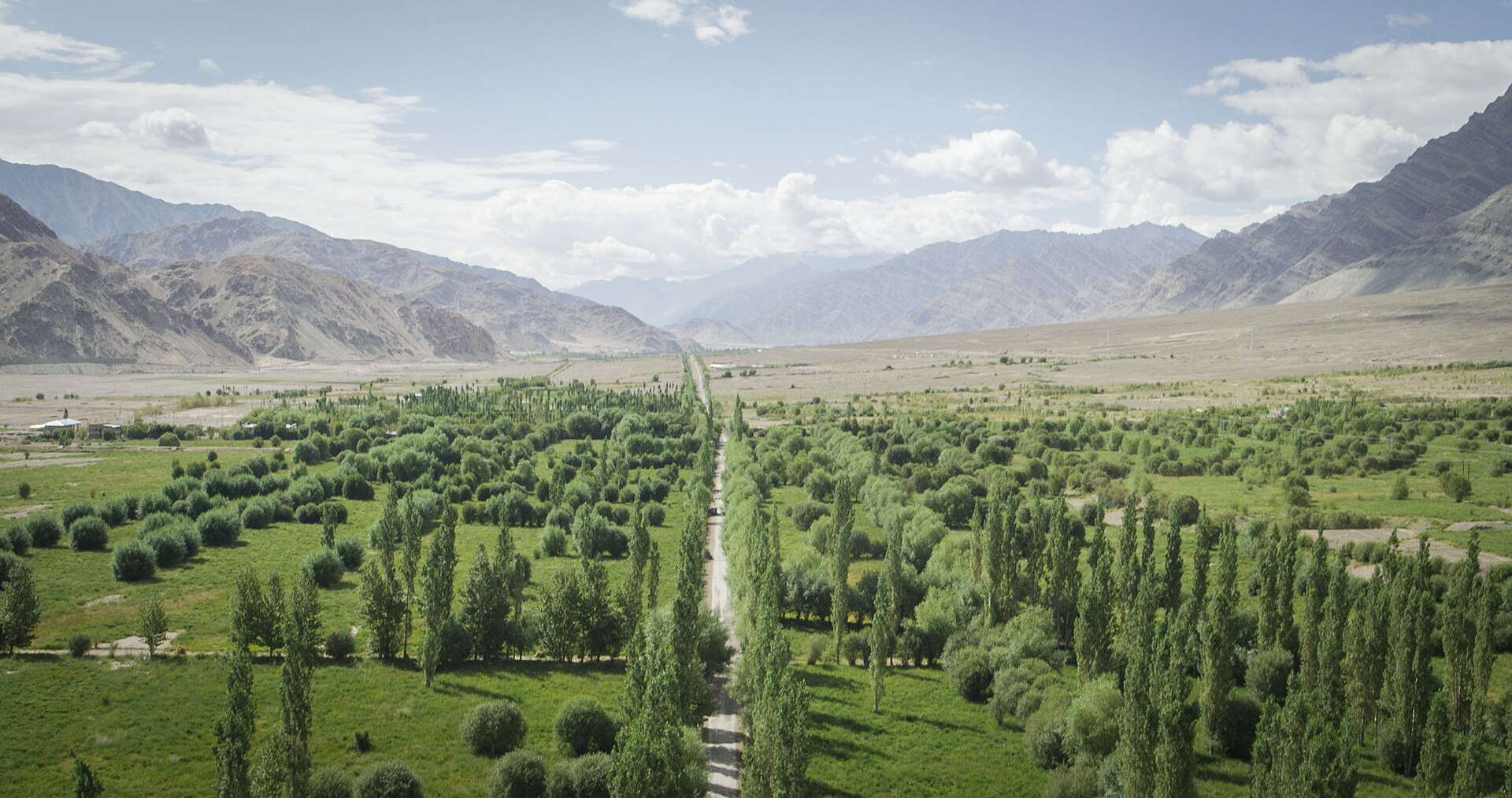
An aerial perspective over the folded ridges of the valley.Photo: Ville Hyvönen · CC BY-SA 2.0
Looking out the aeroplane window as it descends into Srinagar, you watch the endless folded ridges of the Pir Panjal give way to a flat, saucer-shaped bowl. That bowl is the famous Kashmir Valley, an ancient lake bed carved out by glaciers and drained by the Jhelum River over thousands of years. Understanding how this land is put together changes the way you experience every mile of road travel.
The Union Territory spans a staggering range of elevations, from subtropical river plains in the south to frozen high-altitude deserts in the north. If you want to plan a journey that makes geographical sense without spending half your holiday stuck in traffic, you need a solid grasp of the regions of Kashmir and its surrounding territories.
Understanding the Three Distinct Regions
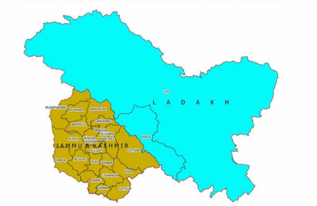
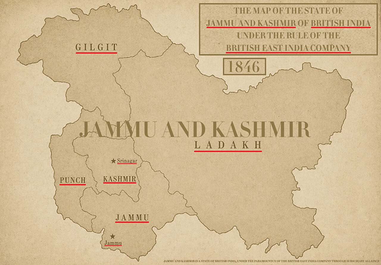
The administrative region is broadly divided into three distinct geographical zones: Jammu, Kashmir, and Ladakh. Each zone possesses its own distinct climate, culture, language, and topography, making a combined trip feel like visiting three different countries in a single fortnight.
Jammu serves as the southern gateway with its rugged low hills and temple towns. Kashmir sits in the centre as a temperate, river-fed agricultural valley enclosed by towering snowy peaks. Ladakh stretches across the rain shadow of the Himalayas as a cold, windswept high-altitude desert.
The Emerald Beauty of the Kashmir Valley
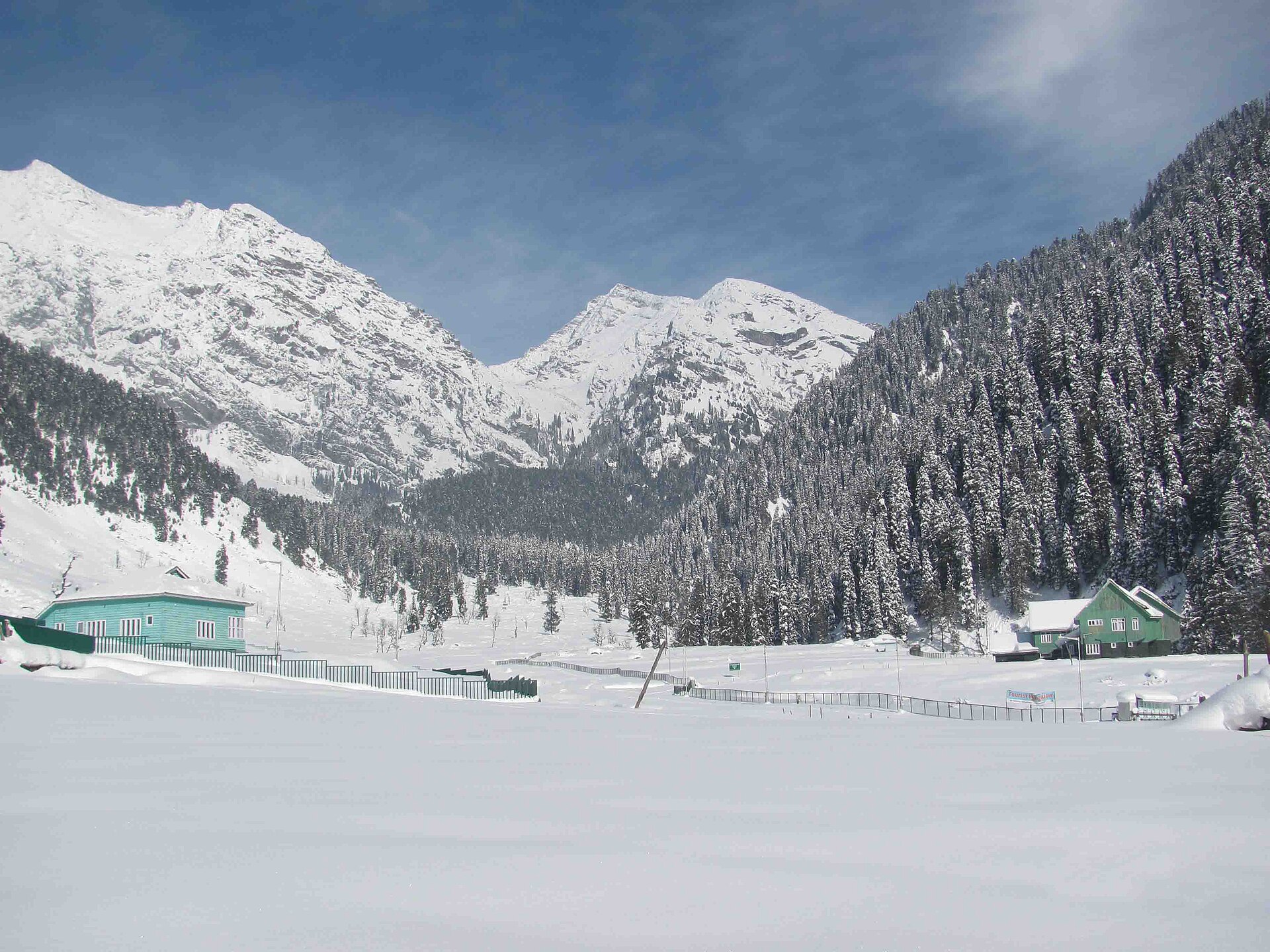
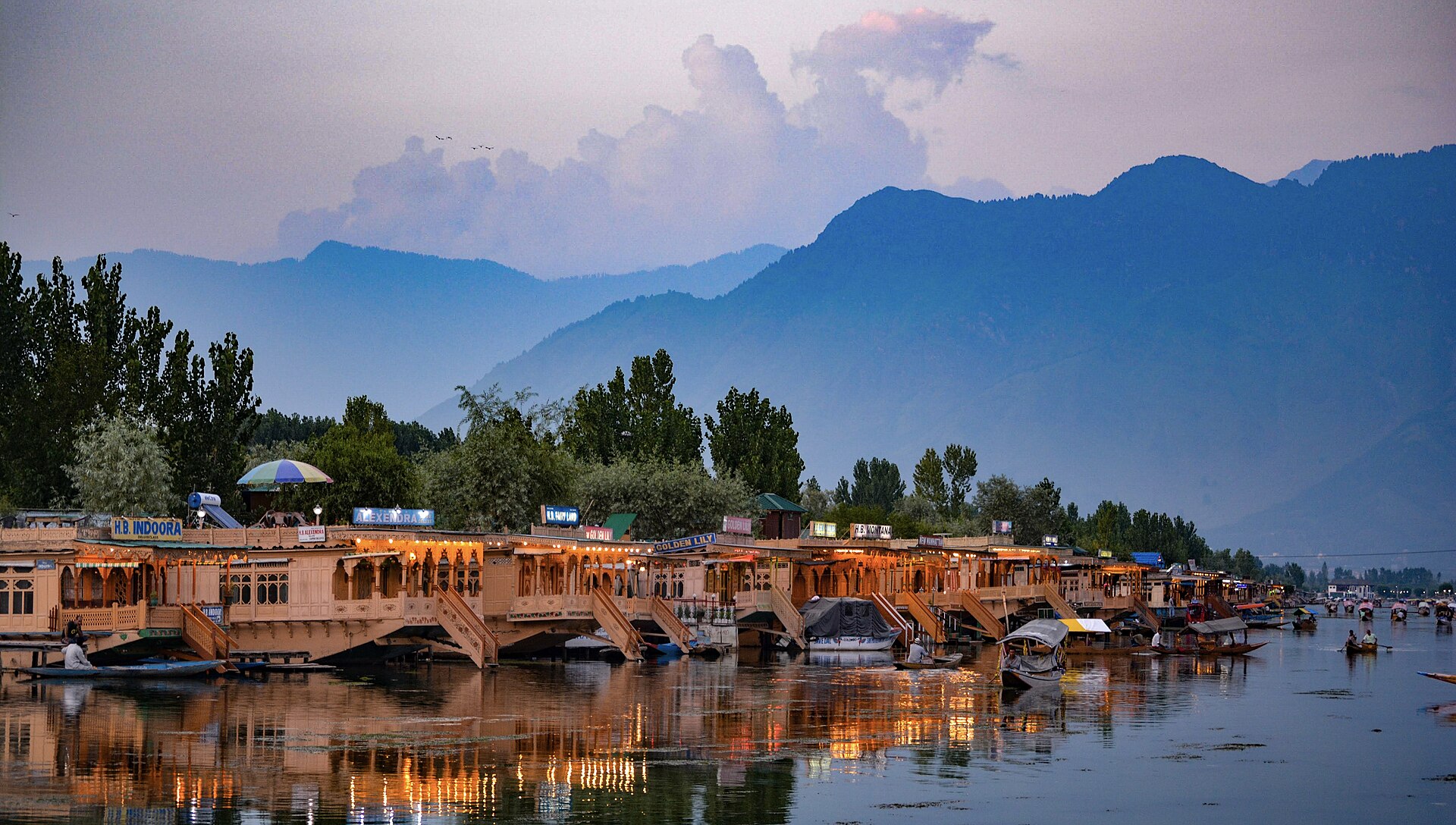
The Kashmir Valley itself is a tectonic basin roughly one hundred and thirty kilometres long and thirty-two kilometres wide, sitting at an average elevation of one thousand six hundred metres above sea level. It is walled in on all sides by the Greater Himalayas and the Pir Panjal range.
The Jhelum River winds sluggishly through the centre of the valley, feeding sprawling wetlands like Wular Lake and Hoorpora. This unique topography traps monsoon clouds on the outer slopes, creating a temperate climate with heavy winter snow and mild, fertile summers.
Major Tributaries and Mountain Passes
Rivers like the Lidder, Sindh, and Chenab cut through deep gorges before spilling out into the valley floor. Mountain passes like the Jawahar Tunnel and the Zoji La act as critical, weather-sensitive gateways connecting this isolated basin to the rest of the subcontinent.
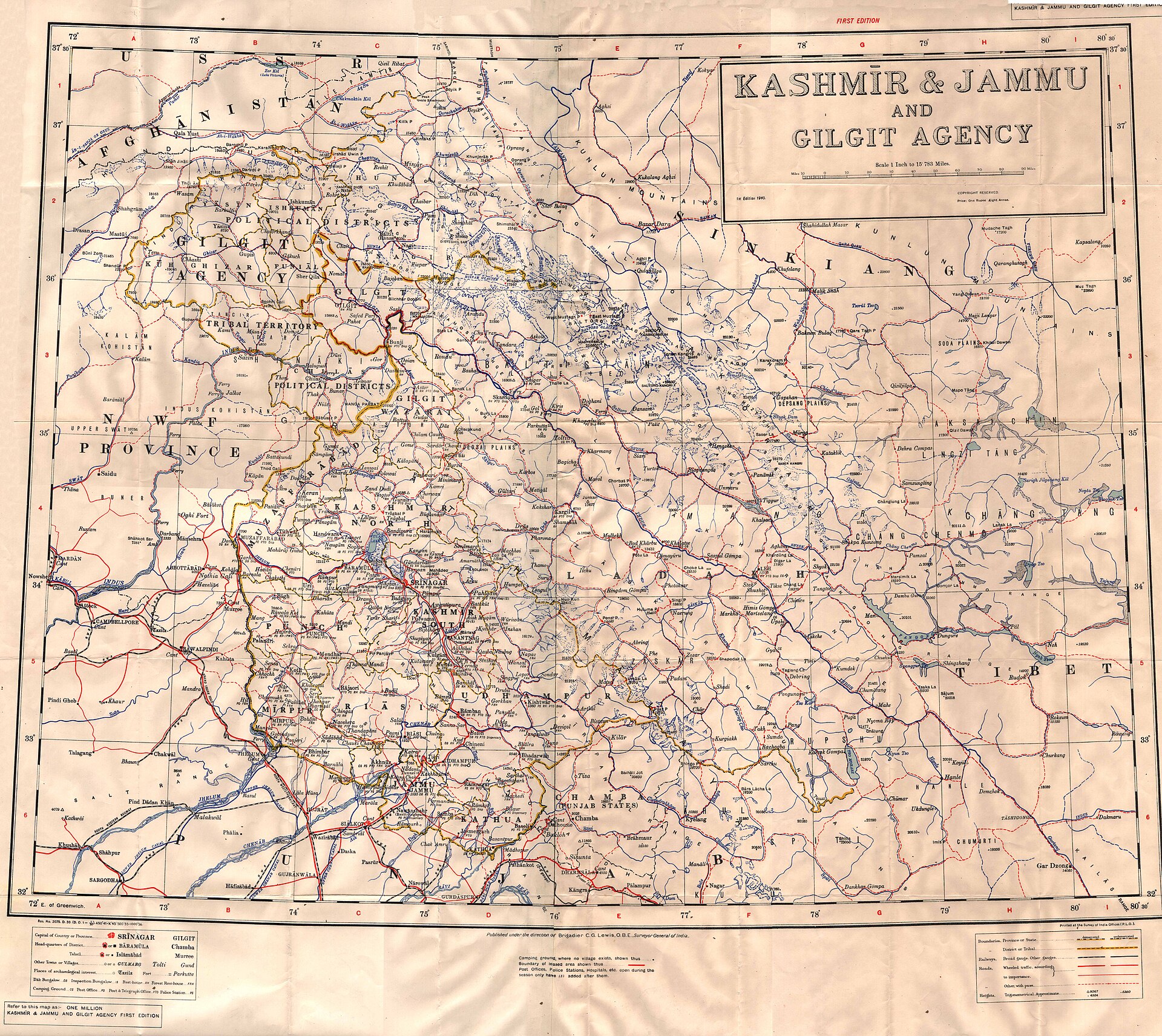
Understanding how this land is put together changes the way you experience every mile of road travel.
The Sculpted Landscapes and Hills of Jammu
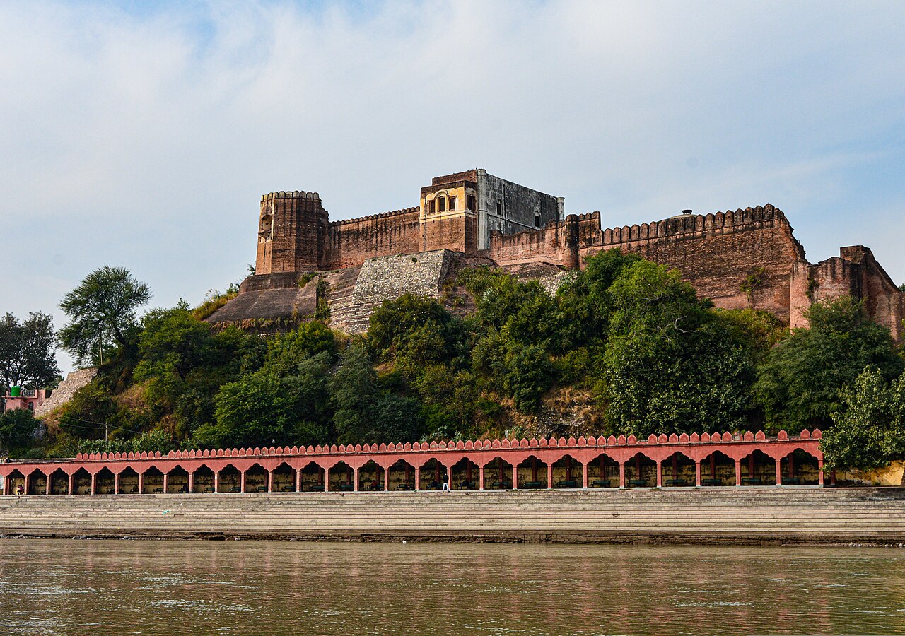
Jammu is often rushed through as a transit point, but its geography is remarkably varied. Moving north from the Punjab plains, the terrain rises rapidly through the Shivalik Hills, characterized by scrub forests, sandstone ridges, and deep river gorges.
Places like Patnitop and Bhaderwah sit at higher elevations within Jammu, offering dense pine forests and rolling meadows that rival the central valley without the heavy tourist congestion found further north.
- Explore the forested ridges and viewpoints around Patnitop.
- Discover the hidden valleys and terraced fields of Bhaderwah.
- Experience the subtropical climate shifts as you descend towards Katra.
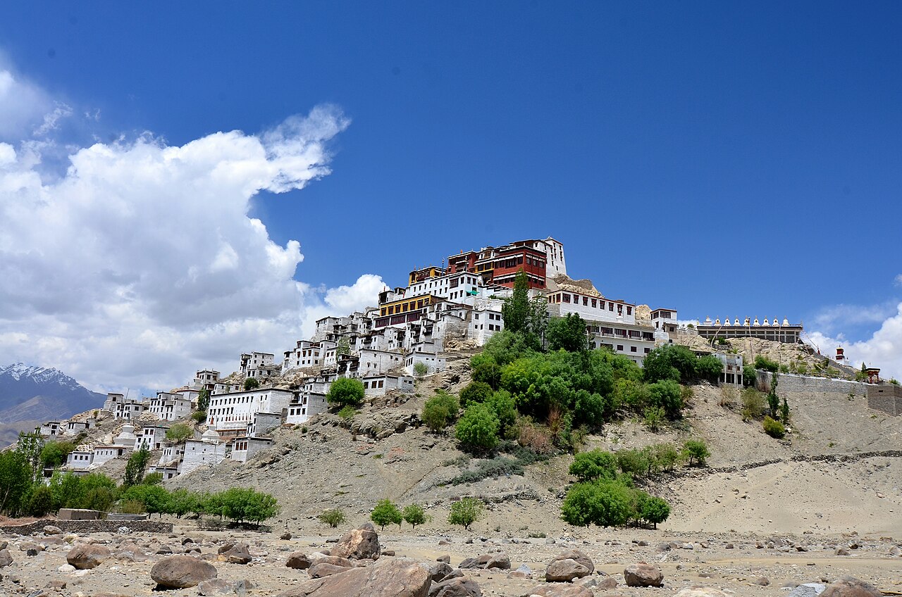
The High-Altitude Desert and Ranges of Ladakh
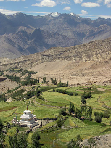
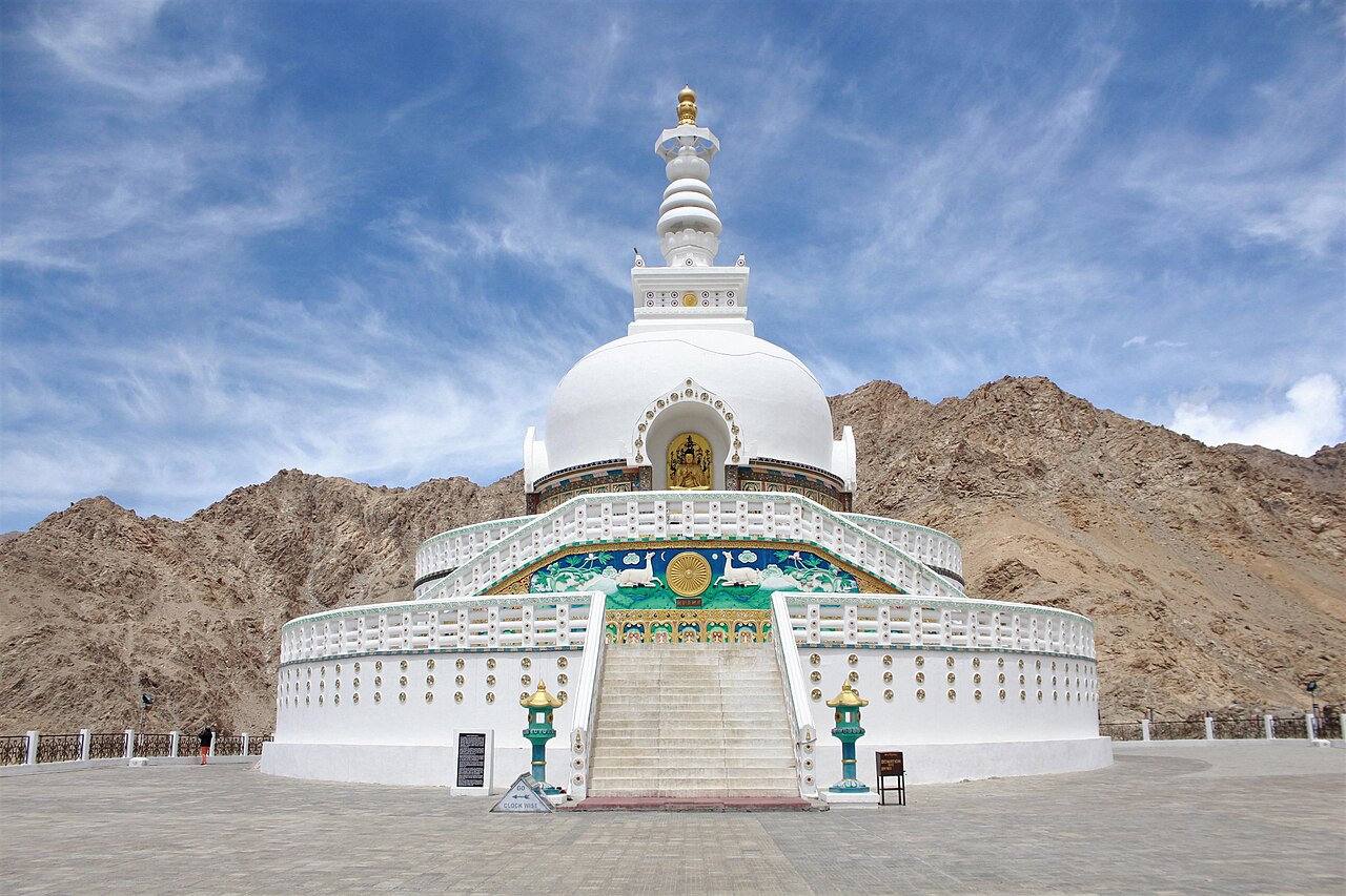
Crossing the Zoji La pass heading east plunges you into Ladakh, where the green vegetation of the Kashmir Valley vanishes completely, replaced by stark canyon walls of grey shale and wind-sculpted granite towers.
Sitting above three thousand five hundred metres, Ladakh is a cold desert where annual rainfall is practically zero. Life here clings to glacial meltwater streams that feed narrow strips of green barley fields beneath towering turquoise salt lakes like Pangong Tso.
Climate Variations Across Mountain Zones
Because elevation changes so rapidly, climate variations within the region are extreme. You can experience blistering summer heat in the plains of Jammu, pleasant spring weather among the apple orchards of Srinagar, and freezing sub-zero blizzards on the high passes of Ladakh all on the same day.
Packing for a multi-region trip requires layering. You need light cottons for daytime valley walks and heavy down jackets with thermal underwear for evening temperatures in the higher mountain zones.
Planning Your Multi-Region Itinerary Sensibly
Trying to cover Jammu, Kashmir, and Ladakh in a standard seven-day holiday is a logistical impossibility that will leave you exhausted. We always advise travellers to pick one primary focus zone per week of travel.
If you want lakes, gardens, and pine forests, stick to the Kashmir Valley. If you want high-altitude monastic culture and rugged desert passes, dedicate your time entirely to Ladakh with proper acclimatisation days built into your schedule.
Before you book
Appreciating the vast and varied geography of this Himalayan territory helps you set realistic expectations for your travel days. Every mountain ridge and river valley tells a story of ancient geological forces that continue to shape local life today.
If you need help designing a sensible route across these incredible landscapes, our local team is always ready to assist you with destination advice.
Ready to Map Out Your Himalayan Journey?
Contact our team to discuss custom itineraries that match your travel style and time frame.
Explore Our DestinationsCaption for your own post
From river valleys to high altitude deserts: a look at the geography of jammu and kashmir.
Written by
Kashmir, Jammu & Ladakh specialists
We plan and run trips across Kashmir, Jammu and Ladakh every week of the year. Everything here comes from routes we drive, stays we inspect and questions our travellers actually ask.
Written by tour planners who map and drive these mountain routes every season.
Quick answers
Questions we get asked
What are the main geographic regions of Jammu and Kashmir?
The territory is broadly divided into the Jammu hills and plains, the central temperate Kashmir Valley, and the high-altitude desert of Ladakh.
How does the geography affect travel between Srinagar and Leh?
Road travel crosses high mountain passes like Zoji La, which remain closed during winter months due to heavy snow and ice accumulation.
What is the average elevation of the central Kashmir Valley?
The central valley floor sits at an average elevation of roughly one thousand six hundred metres above sea level.
Can I visit Jammu, Kashmir, and Ladakh in a single week?
It is not recommended due to vast distances, winding mountain roads, and the critical need for altitude acclimatisation in Ladakh.
When is the best time to experience all geographic zones?
Summer between June and September is the only window when both high mountain passes to Ladakh and all valley trekking routes are fully open.
Photography credits
- Photo: Ville Hyvönen · CC BY-SA 2.0
- Photo: Survey of India · Public domain
- Photo: Shrikanthhegde · CC BY-SA 3.0
- Photo: Dont Know · CC BY-SA 4.0
- Photo: Niral Bhatt · CC0
- Photo: Imanvita · CC BY-SA 4.0
- Photo: Illyas Ahmed · CC BY-SA 4.0