Thajiwas Glacier Trek Length: Everything You Need to Know
Planning your walk to the base of the Thajiwas Glacier with practical tips.
How long is the Thajiwas glacier trek? We cover distance, terrain, and whether you should walk or opt for a pony ride.
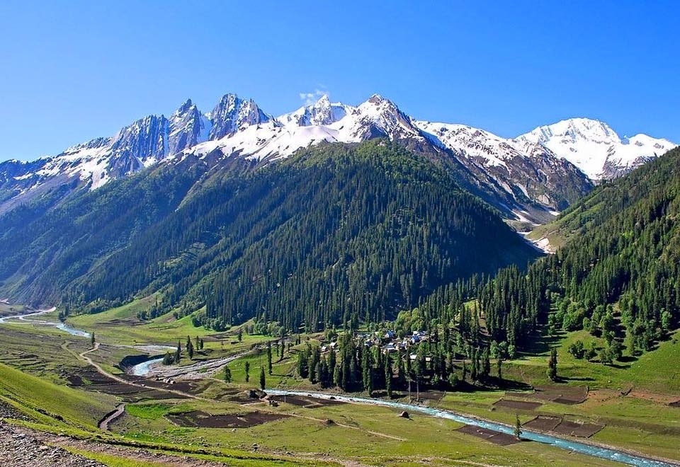
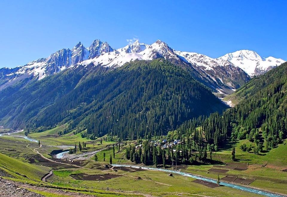
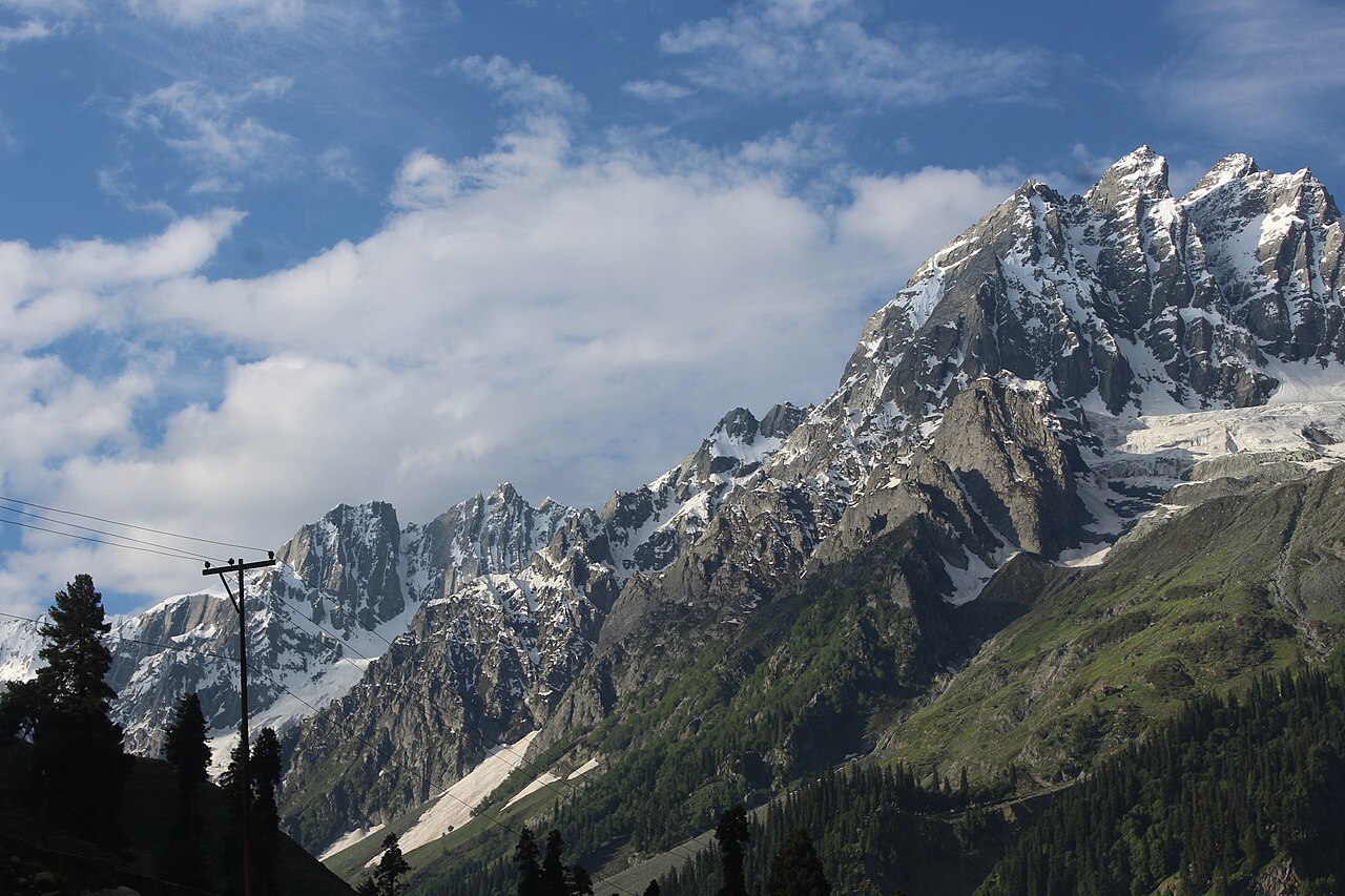
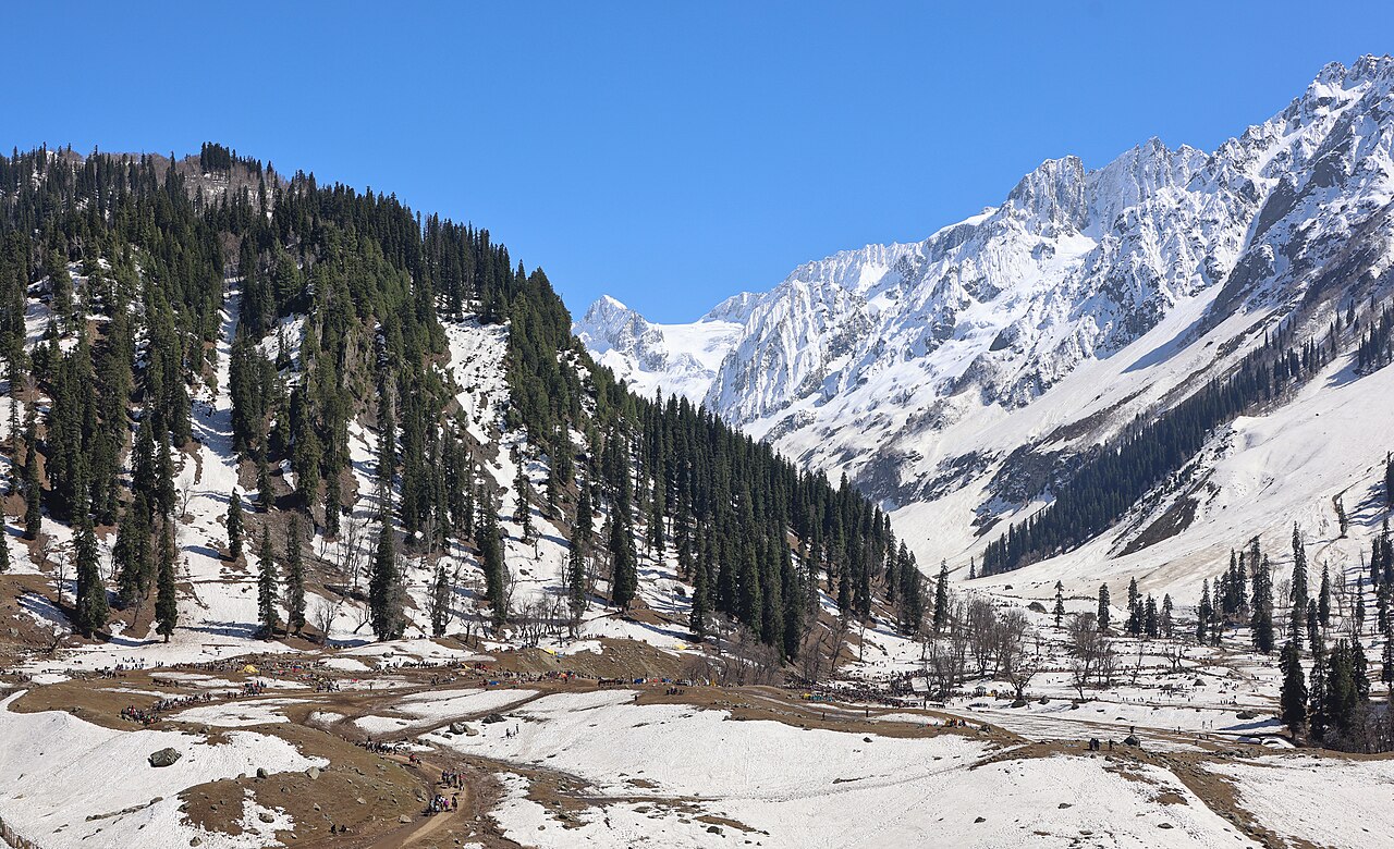
The path to the glacier is a clear, well-trodden route through the alpine valley.Photo: Biswarup Bhattacharjee · CC BY-SA 4.0
I have walked the path to the Thajiwas Glacier dozens of times, and every time I notice something different—a new wildflower emerging through the scree, or the way the morning mist clings to the pine trees near the starting point.
Many people ask me about the thajiwas glacier trek length, expecting a strenuous, multi-day ordeal. The reality is quite the opposite. It is a manageable, rewarding day hike that brings you deep into the heart of the Sonmarg mountains in just a few hours.
If you are reasonably active, this trail offers one of the best 'effort-to-reward' ratios in all of Kashmir. It is not about technical climbing; it is about the pace you set and how much time you allow yourself to stop and look at the surroundings.
Trek Distance and Time Estimate
The distance from the main base area in Sonmarg to the base of the Thajiwas Glacier is roughly 3 to 4 kilometres each way. In terms of timing, you should budget between 2 to 3 hours for the ascent if you are walking at a steady, moderate pace.
Most visitors tend to underestimate how much time they will want to spend once they actually reach the glacier. I always tell my clients to set aside at least 5 to 6 hours for the entire trip, including the walk back and plenty of time for tea and photographs at the top. Rushing this walk defeats the entire purpose of being in the high valley.
Terrain and Difficulty Level
The trail is generally well-defined, but it is not a flat paved road. You will be dealing with a mix of soft alpine meadows, loose scree, and occasional rocky patches. The incline is moderate—it is a steady, gentle climb rather than a series of steep, lung-busting switchbacks.
If there has been recent rain, the path can get muddy and slippery. Wear shoes with good traction; your average city sneakers might struggle if you encounter a patch of loose gravel or slick mud. The difficulty is 'moderate' for an occasional hiker, but quite simple for anyone used to regular walks.
Pony Ride Alternatives
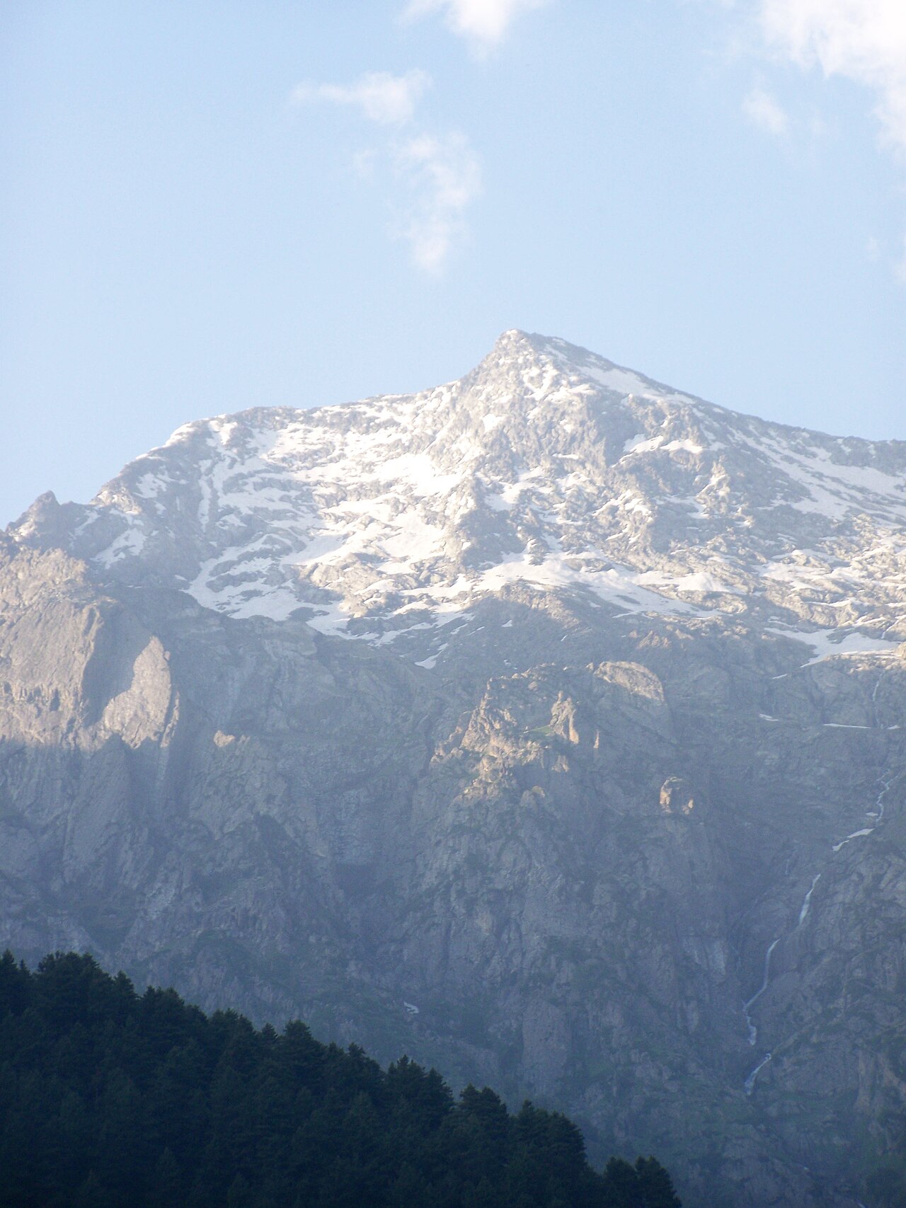
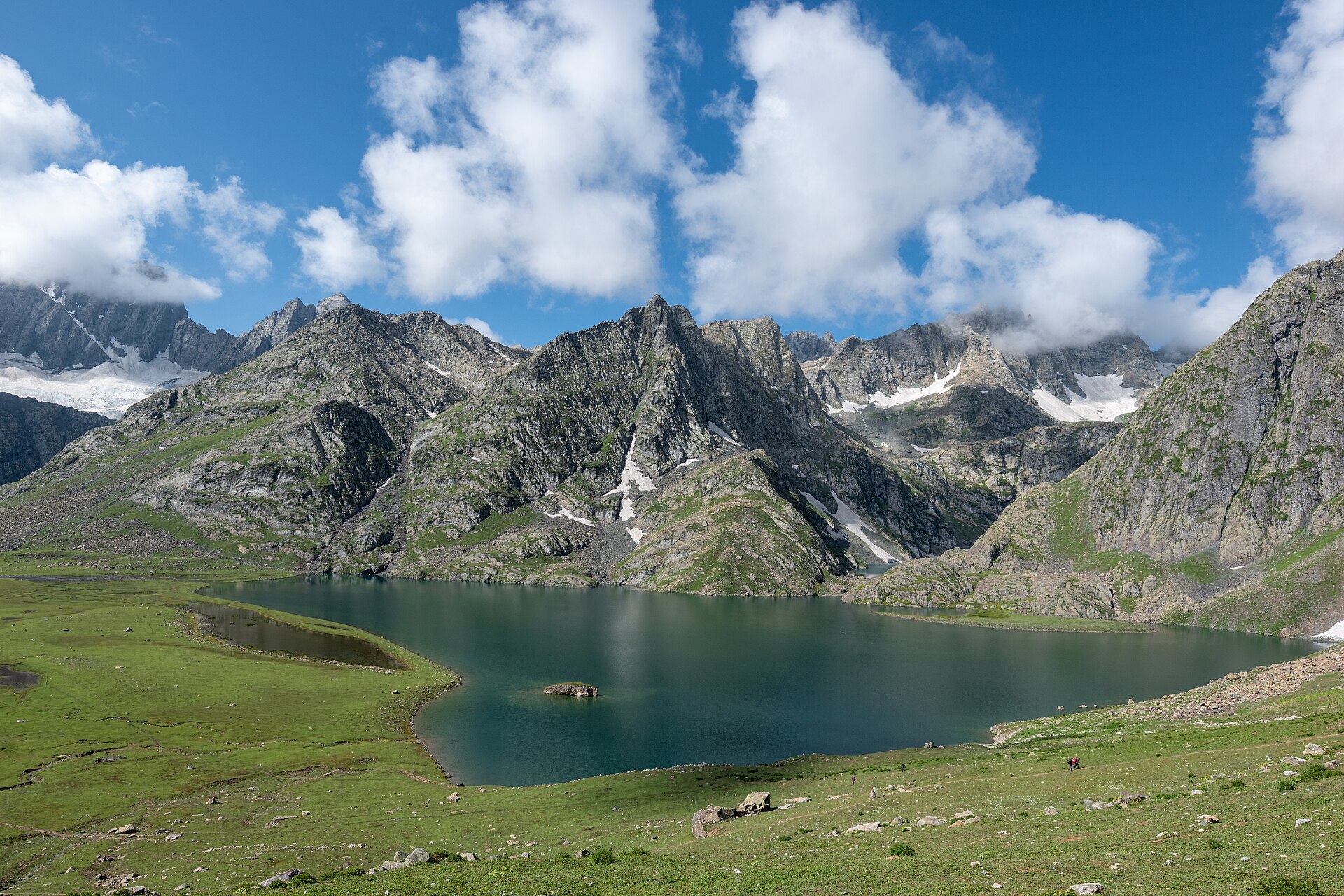
Not everyone wants to trek on foot, and that is perfectly fine. Hiring a pony is the standard alternative in Sonmarg. The local pony wallahs are experts at navigating this trail, and they can take you all the way to the base of the glacier.
Using a pony saves your legs, but it changes the experience. You are higher up, which provides a better vantage point for photos, but you lose the rhythmic, meditative quality of walking. If you do opt for a pony, please agree on the price before you leave, and remember that these animals also need breaks during the day.
Safety and Preparation Tips
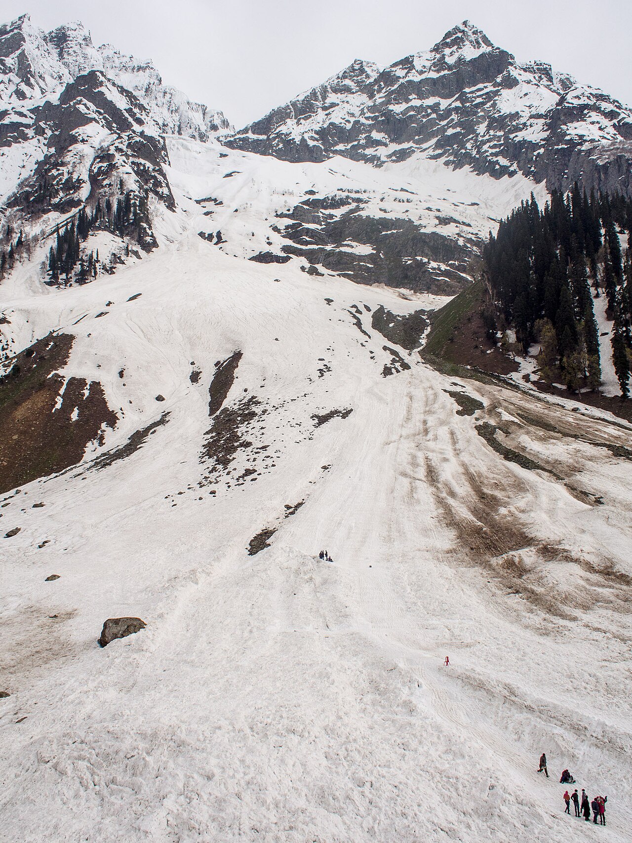
Even though the trek is short, never treat it as if you are going for a stroll in the park. The altitude in Sonmarg is already around 2,800 metres. You might feel the lack of oxygen more than you expect if you have just arrived from sea level.
Stay hydrated. Bring a reusable water bottle. While you might see shops near the start, there are very few services once you start moving up the valley. Always carry a light rain jacket, even if the sky is blue. In the mountains, weather turns fast, and being caught in a sudden mountain shower without a shell can ruin an otherwise perfect afternoon.
Capturing the Best Scenery
The best light for photography is during the first two hours after sunrise. The peaks catch the light long before the valley floor does. If you reach the glacier by 9:00 AM, you get that soft, diffused light that makes the snow look pristine and the water in the stream appear like glass.
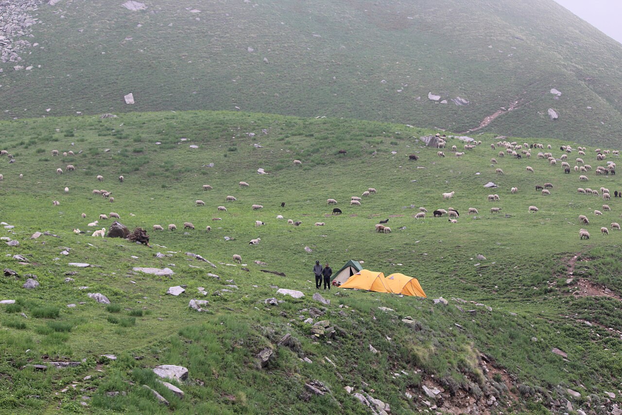
As you trek, don't just stare at the destination. The valley itself is filled with streams, herds of grazing sheep, and the occasional nomadic tent. These interactions are often what people remember most fondly after the trip, rather than the final ice patch itself.
Before you book
The beauty of this trek lies in its simplicity. It pulls you away from the noise of the main road and drops you into a space where the scale of the mountains truly registers. By understanding the trek length and preparing for the terrain, you ensure that your focus remains on the landscape rather than your feet.
If you are currently planning your Kashmir journey and want to know more about the local trails or need assistance with local transport to the trailhead, reach out to us at [Skywale Packages](/contact). We are always here to help you design a day that moves at your own pace.
Ready to explore the mountains?
Let us handle the details so you can focus on the views. Contact us for custom tour planning.
Get in TouchWritten by
Kashmir, Jammu & Ladakh specialists
We plan and run trips across Kashmir, Jammu and Ladakh every week of the year. Everything here comes from routes we drive, stays we inspect and questions our travellers actually ask.
Quick answers
Questions we get asked
Is the Thajiwas Glacier trek suitable for children?
Most children aged 8 and up can manage the walk. For younger kids, a pony ride is a safer and more enjoyable option for everyone.
Do I need a guide for this trek?
The trail is quite popular and easy to follow, so a guide is not strictly necessary. However, having one can be helpful to avoid confusion at certain trail junctions.
Can I do this trek in regular trainers?
You can, but I wouldn't recommend it. Proper hiking boots or trail shoes with decent tread will make the uneven, rocky sections much easier to handle.
Is the altitude a major concern here?
At nearly 3,000 metres, you might feel a bit breathless. The best approach is to spend a day in Sonmarg to acclimatize before attempting the hike.
Are there restrooms on the trail?
There are no formal facilities on the trail itself. It is a wild environment, so plan to use facilities in Sonmarg before you depart.
Photography credits
- Photo: Biswarup Bhattacharjee · CC BY-SA 4.0
- Photo: Rohit Sharma · CC BY-SA 4.0
- Photo: Madhrakangri · CC BY-SA 4.0
- Photo: Vikas Panwar · CC BY-SA 4.0
- Photo: Mike Prince from Bangalore, India · CC BY 2.0
- Photo: Shobhla-Himachal · CC BY-SA 4.0
- Photo: Original: Ganesh Mohan T Derivative work: UnpetitproleX · CC BY 4.0