Geography of Kashmir: A Guide to Its Location and Regions
An orientation guide to the mountains, river valleys, and high plateaus of Northern India.
Curious about how the northernmost territories fit together? Here is a clear geographic guide to Kashmir, Jammu, and Ladakh.
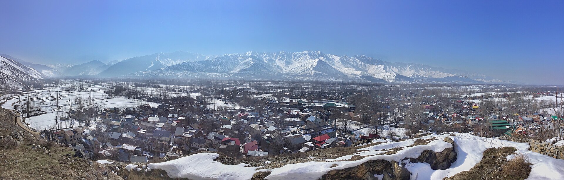
The Pir Panjal range forms the southern mountain wall of the Kashmir valley.Photo: ThePoeticFrame · CC BY-SA 4.0
Looking down from the airplane window as we crossed over the Pir Panjal range, the earth turned from flat plains into a crumpled green velvet of endless ridges. That sudden transition marks the threshold of one of the most geographically diverse territories on the Asian continent.
Understanding the kashmir location in india map requires looking past simple political borders and examining the physical landforms that shape daily life, climate, and travel routes. This northernmost corner of the country is not a single uniform landscape; it is a complex collage of sub-tropical foothills, fertile river basins, forested alpine valleys, and high-altitude cold deserts.
Whether you are planning your first trip or simply trying to make sense of the region's topography, let us break down how the land is laid out across Jammu, Kashmir, and Ladakh.
Kashmir's Position in Northern India
Nestled at the northern extremity of the Indian subcontinent, the region shares international borders and rugged mountain frontiers with Pakistan to the west and China to the east and north. To the south, it connects with the Indian states of Himachal Pradesh and Punjab.
This strategic location places the territory right at the collision zone of major tectonic plates, creating the towering Himalayan and Karakoram mountain systems. Because of this high-altitude barrier, travel into the region has historically relied on cutting through river gorges or crossing high mountain passes.
For modern travellers, getting here usually means flying into Srinagar or Jammu, or driving up through the winding national highways that cling to cliff faces carved out by rushing rivers.
- Borders Pakistan to the west and China to the north and east.
- Connects to Himachal Pradesh and Punjab on its southern boundary.
- Dominated by massive Himalayan and Karakoram mountain systems.
- Access is managed via major mountain highways and regional airports.
The Three Distinct Regions: Jammu, Kashmir, and Ladakh
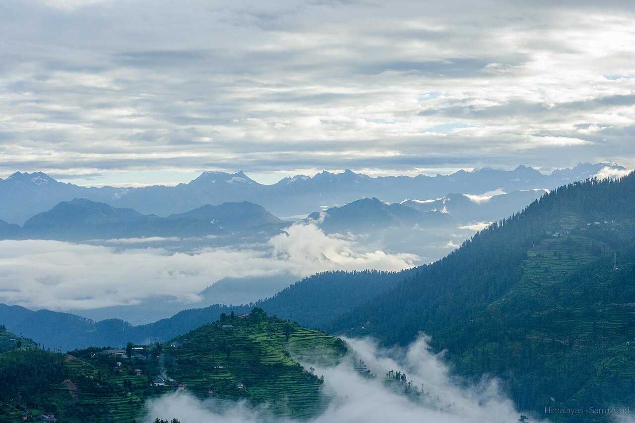
The administrative territory is broadly divided into three distinct geographic and cultural zones, each with its own climate, terrain, and character. Grouping them together under one name often confuses travellers who expect the same scenery everywhere.
Jammu sits to the south, featuring lower hills, sub-tropical forests, and the vast plains that border Punjab. It is known for its temple towns and serves as the primary winter capital and railway gateway for many travellers entering the broader region.
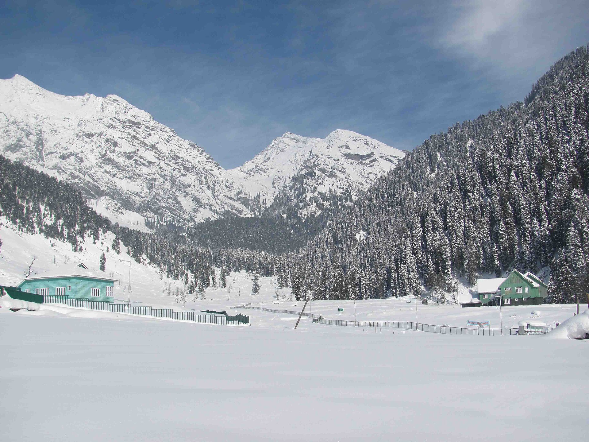
Kashmir sits further north, cradled between the Pir Panjal range and the main Himalayan chain. This is the classic valley of rivers, willow trees, rice paddies, and apple orchards, defined by a temperate climate that brings four distinct seasons.
Understanding the Landscape and Terrain
The terrain of the Kashmir valley proper is essentially a deep bowl basin, once filled by an ancient glacial lake known as Lake Silt. Over millennia, the water drained through the Baramulla gorge, leaving behind flat, fertile karewas—elevated plateaus that now support saffron cultivation and apple farming.
Surrounding this oval-shaped basin are towering mountain walls. To the southwest stands the Pir Panjal, separating the valley from Jammu. To the northeast rises the Greater Himalayas, holding peaks like Kolahoi and Nanga Parbat on the distant horizon.
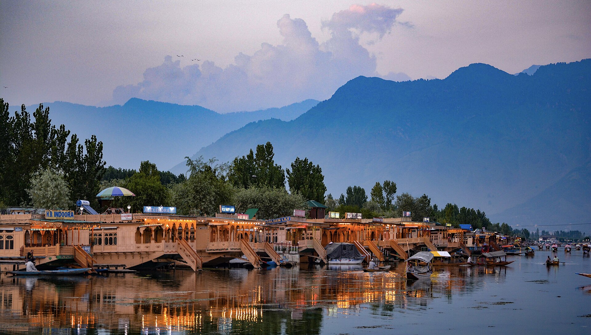
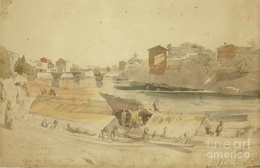
Rivers are the lifeblood of this terrain. The Jhelum river meanders lazily through the center of Srinagar and across the valley floor, fed by melting snows from dozens of high-altitude tributaries like the Lidder and Sindh rivers.
The Valley Floor and Plateaus
The flat agricultural lands and ancient plateaus create a stark contrast against the steep, forested mountain walls that rise sharply on all sides.
Bordering States and International Proximity
The geography of these mountains has made them historic crossroads for trade routes connecting Central Asia, Tibet, and the Indian plains. Old caravan trails once moved silk, spices, and tea across high passes that now serve as sensitive international borders.
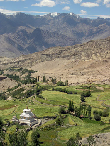
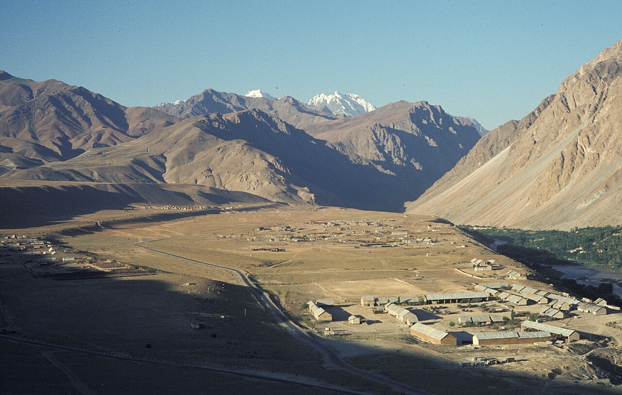
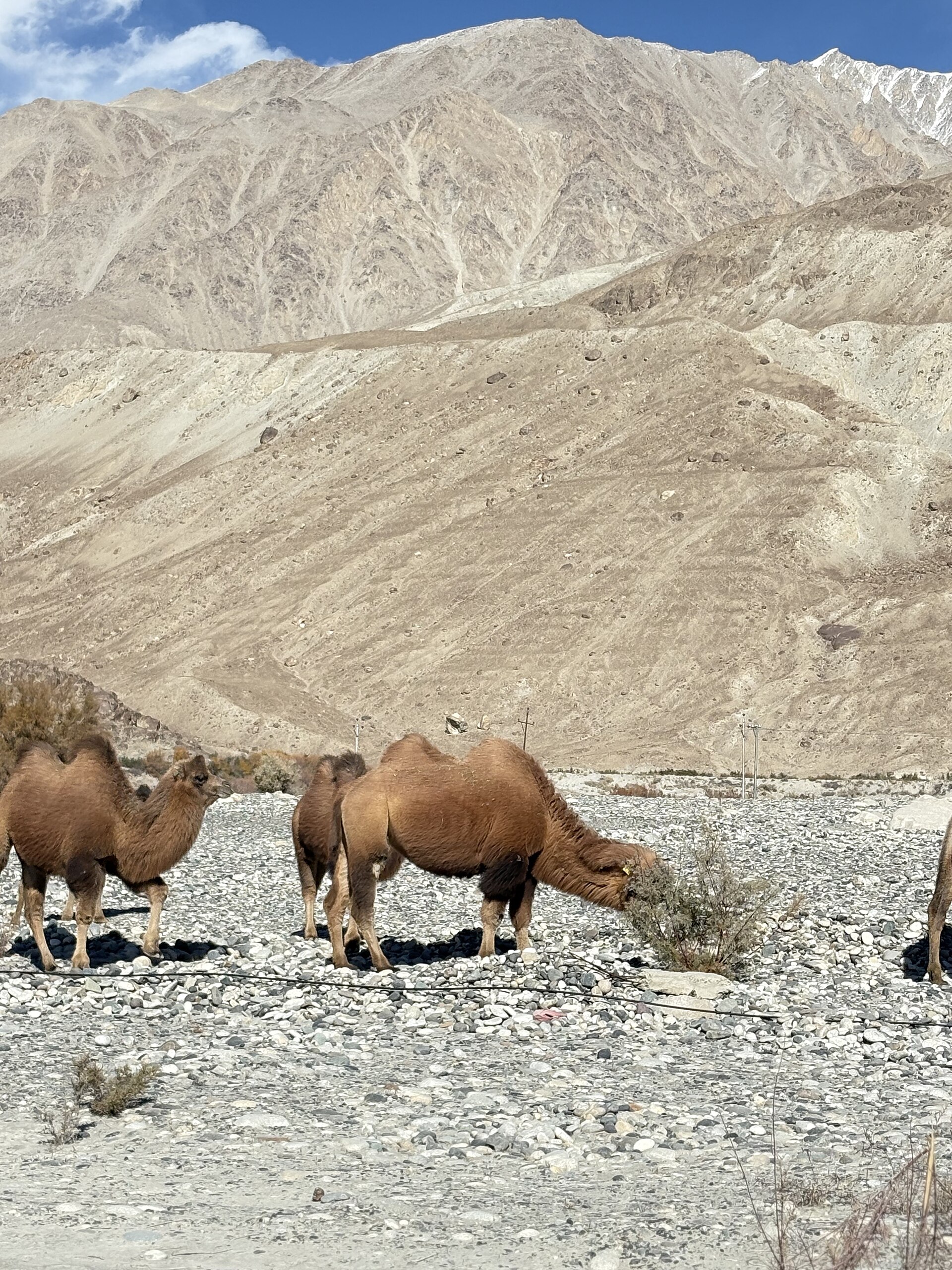
To the east lies Ladakh, the third geographic pillar of the region. Ladakh is a high-altitude cold desert sitting rain-shadowed behind the main Himalayan wall. Unlike the green, forested valleys of Kashmir, Ladakh features barren ochre mountains, deep blue glacial lakes like Pangong, and vast windswept plains.
The proximity to international borders means that certain border districts and remote trekking routes require special permits for travellers, though all core tourist areas in Kashmir and Ladakh are freely accessible.
Best Ways to Travel Between Regions
Travelling between these three distinct regions is a journey through radically changing geography. Moving from the sub-tropical heat of Jammu up to the green pine forests of Kashmir takes you over the winding Jawahar Tunnel through the Pir Panjal range.
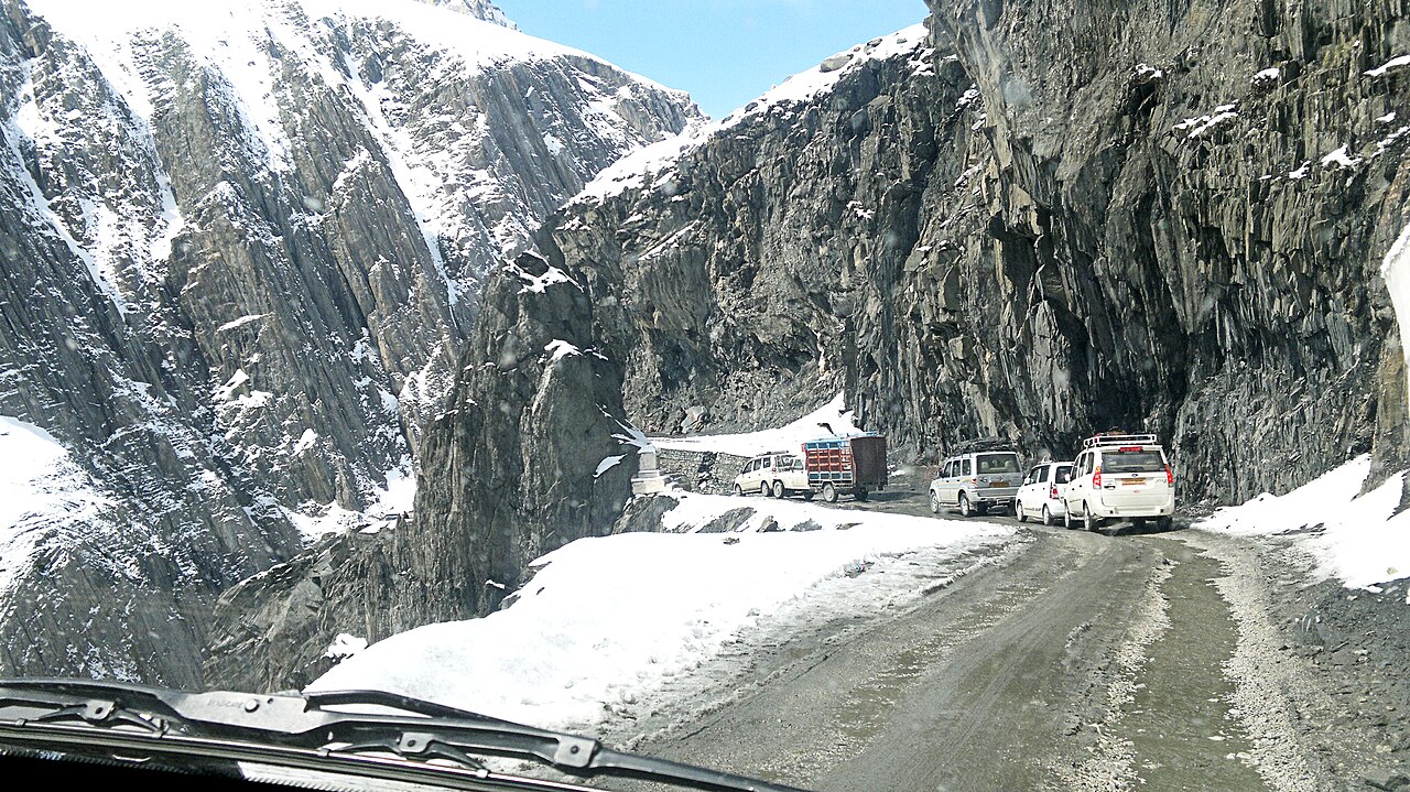
Crossing from the Kashmir valley further east into Ladakh requires tackling some of the highest motorable mountain passes in the world, such as Zoji La or Fotu La. These roads are marvels of engineering cut into loose shale and rock, open only during the summer and autumn months when snow clears.
Because of these dramatic altitude and terrain shifts, travellers must allow time for acclimatisation, particularly when ascending from Srinagar up to the high plateaus of Leh.
Before you book
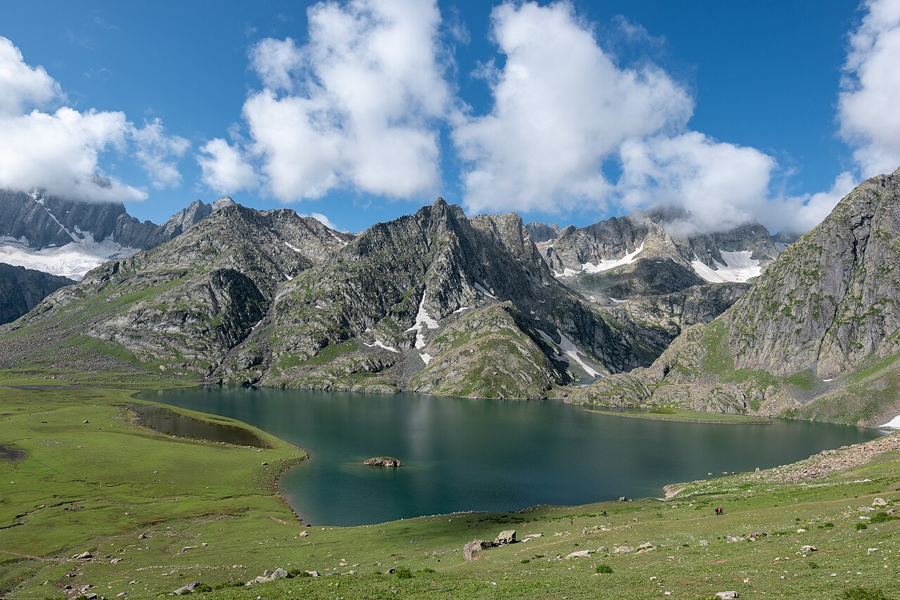
The geography of this northern frontier is what makes travelling here so unforgettable. Within a single journey, you can stand in a green valley filled with rice paddies, drive up through alpine pine forests, and stare across barren, windswept high-altitude deserts.
If you need help mapping out a route that connects these diverse landscapes smoothly, our team at Skywale Packages is always ready to assist with customized itineraries.
Map Your Next Himalayan Journey
Let our local experts help you design a route that covers the best of the valleys, mountains, and high passes.
Start PlanningWritten by
Kashmir, Jammu & Ladakh specialists
We plan and run trips across Kashmir, Jammu and Ladakh every week of the year. Everything here comes from routes we drive, stays we inspect and questions our travellers actually ask.
Quick answers
Questions we get asked
What are the three main regions of Jammu and Kashmir?
The territory is geographically and culturally divided into Jammu (southern hills and plains), Kashmir (central river valley and forests), and Ladakh (high-altitude cold desert plateau to the east).
How do you travel from Kashmir to Ladakh by road?
Travel between Kashmir and Ladakh typically involves driving along National Highway 1 through Sonamarg and across the Zoji La pass. This route is narrow, mountainous, and open only during the summer months from May to October.
What kind of terrain is the Kashmir valley known for?
The Kashmir valley is a flat, fertile oval basin formed by ancient lake deposits, surrounded on all sides by towering mountain ranges, dense pine forests, and fed by the Jhelum river system.
Do I need permits to travel across regions in Jammu, Kashmir, and Ladakh?
Standard tourist travel between Srinagar, Gulmarg, Pahalgam, and Jammu requires no special permits. However, specific remote areas near international borders in Ladakh do require inner-line permits for visitors.
Photography credits
- Photo: ThePoeticFrame · CC BY-SA 4.0
- Photo: DiluteOxygen · CC BY-SA 4.0
- Photo: Samir Azad · CC BY-SA 4.0
- Photo: H. Grobe · CC BY 3.0
- Photo: Godfrey Thomas Vigne [G. T. Vigne] (1 September 1801 – 12 July 1863) · Public domain
- Photo: Anwaraj · CC BY-SA 3.0
- Photo: Rohit Sharma · CC BY-SA 4.0