Understanding Bangus Valley: Geography and Heritage
A deep dive into the high-altitude saucer of Kupwara
Where is Bangus Valley located and why does it matter? We explore the unique geography, the split between Bod and Lokut, and the nomadic heritage of this pristine Kashmir landscape.
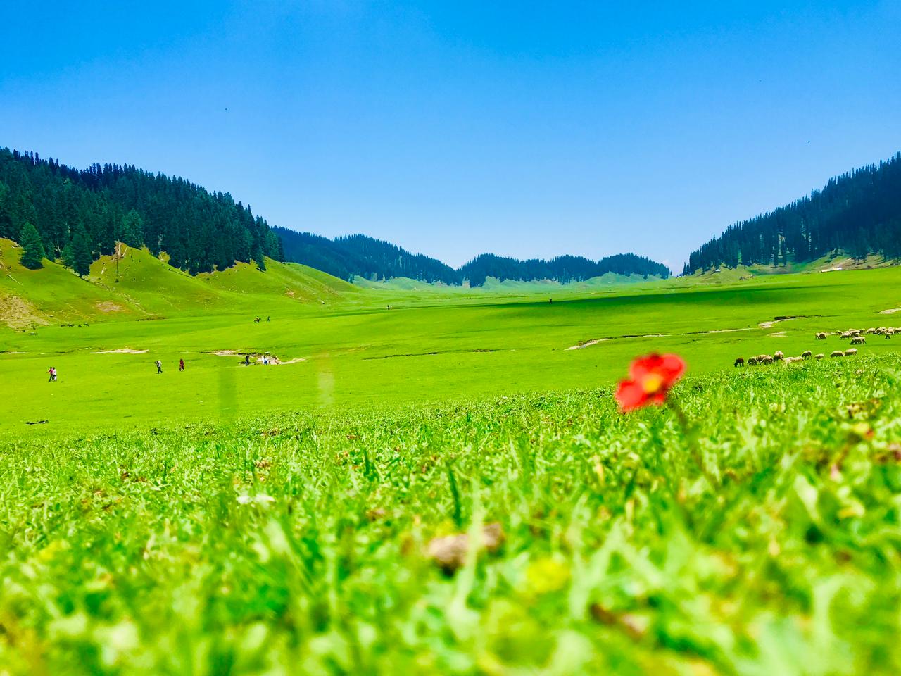
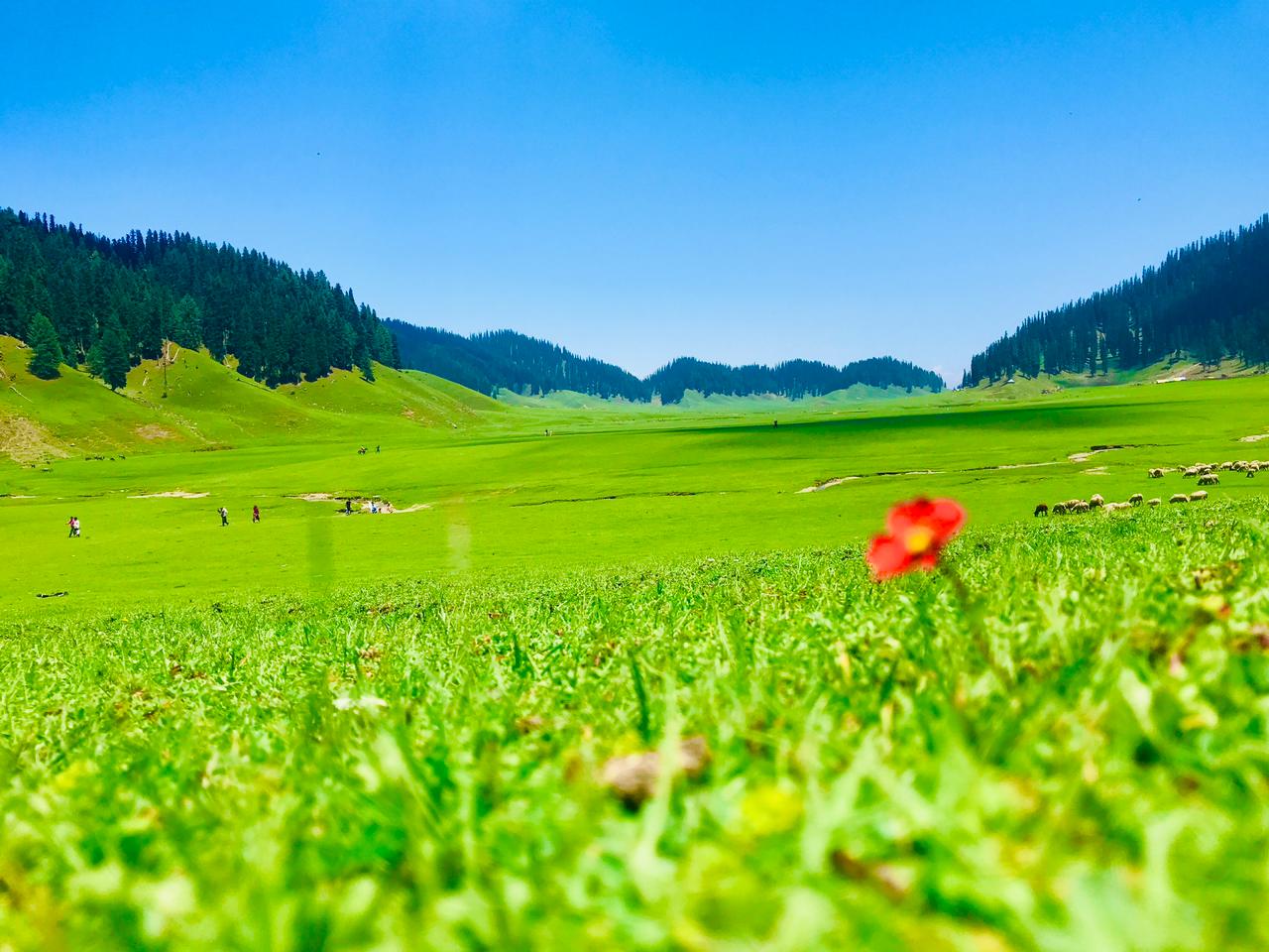
The bowl-like geography of the valley creates a stunning, isolated plateau.Photo: Shiv's fotografia · CC BY-SA 4.0
When you finally reach the ridgeline, the world seems to suddenly drop away into a giant, emerald-coloured saucer. This is the heart of the Kupwara mountains, a place that feels less like a valley and more like a hidden sanctuary suspended in the clouds. If you have been asking yourself where is Bangus Valley, the answer lies deep within the northern reaches of Kashmir.
Bangus isn't just a destination; it's a geographic anomaly. Unlike the long, narrow valleys that characterise much of the Pir Panjal range, this region is a vast, high-altitude basin. It remains one of the few places in the territory that hasn't seen the heavy hand of commercial tourism, which makes understanding its delicate ecological and cultural balance vital before you arrive.
In this guide, we break down what makes this landscape unique, from its dual meadows to the nomadic routes that have carved paths through these hills for centuries.
The Saucer of Grasslands
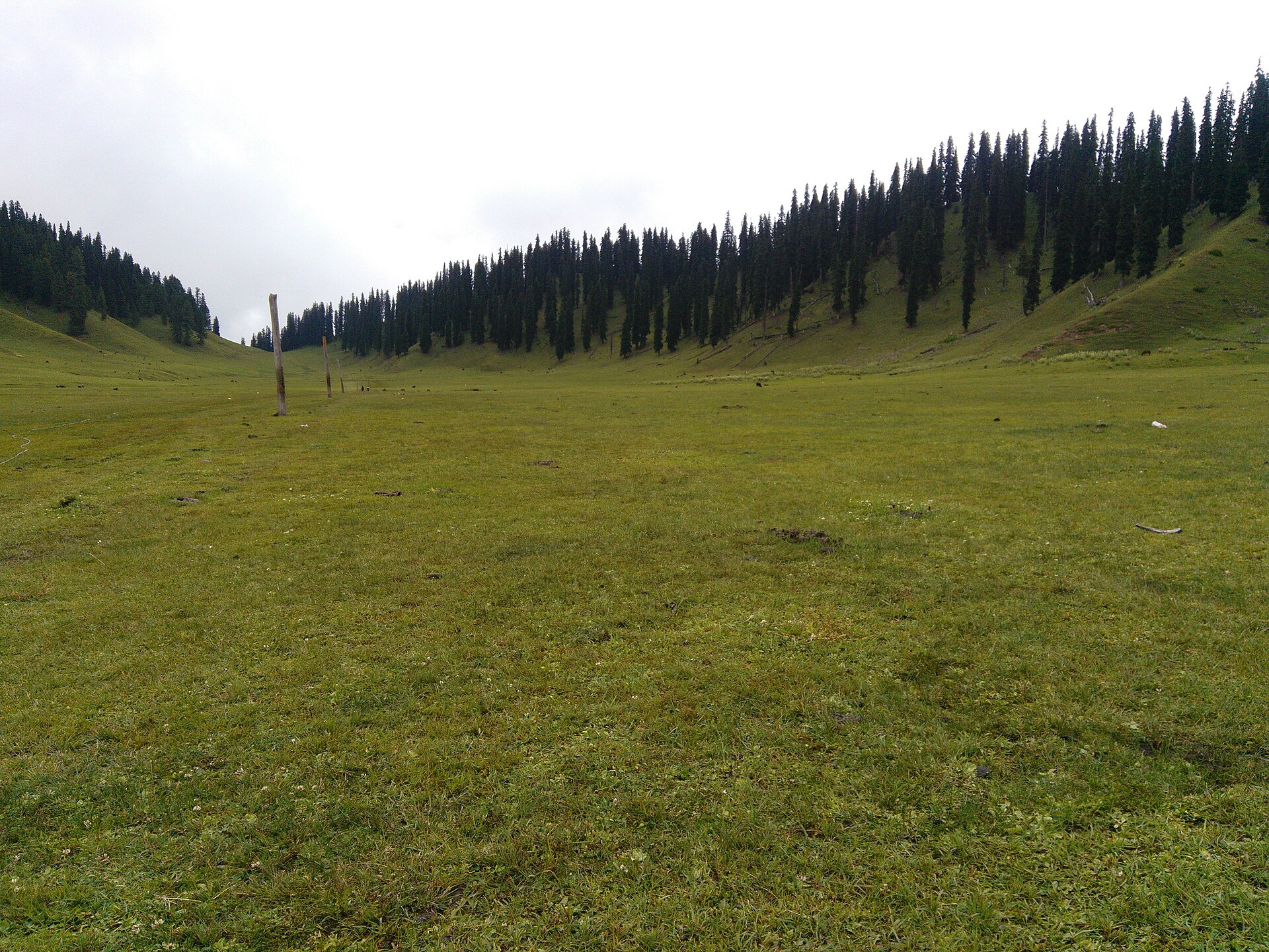
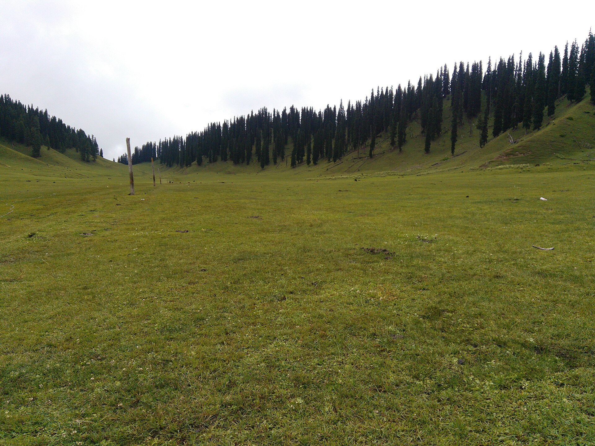
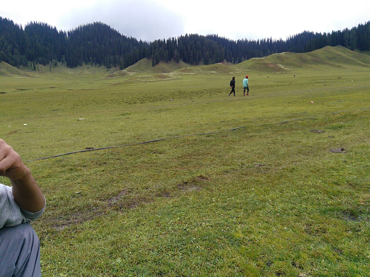
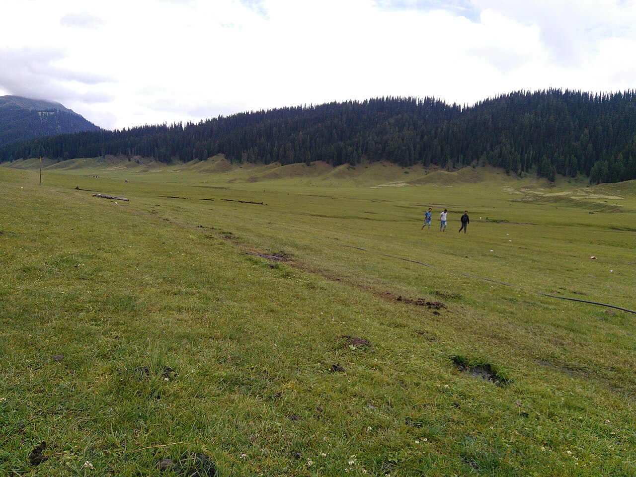
The geography of Bangus is defined by its flatness. Once you climb through the dense coniferous forests that guard the perimeter, the terrain levels out into a expansive plain that stretches for miles. This is not a valley that follows a river's course; it is a bowl. The natural drainage of the snowmelt creates a series of seasonal streams that turn the landscape into a deep, vivid green during the summer months.
Because the valley floor is so level, it remains protected from the high-velocity winds that strip other alpine regions bare. This allows for a rich carpet of wildflowers and grasses, which is exactly why the nomadic tribes have historically sought it out as a primary grazing ground for their livestock.
Distinguishing Bod and Lokut Bangus
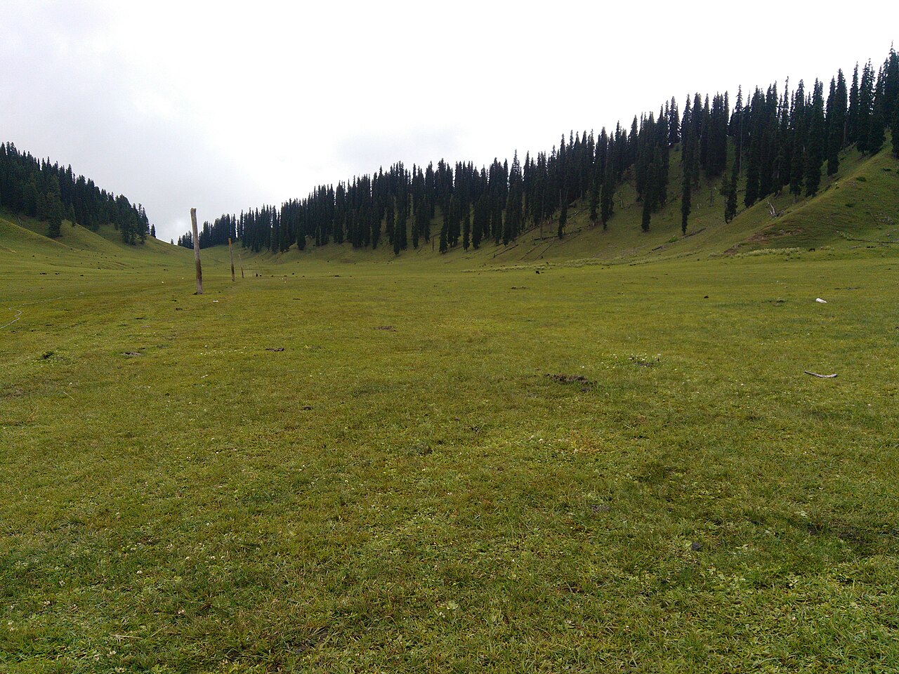
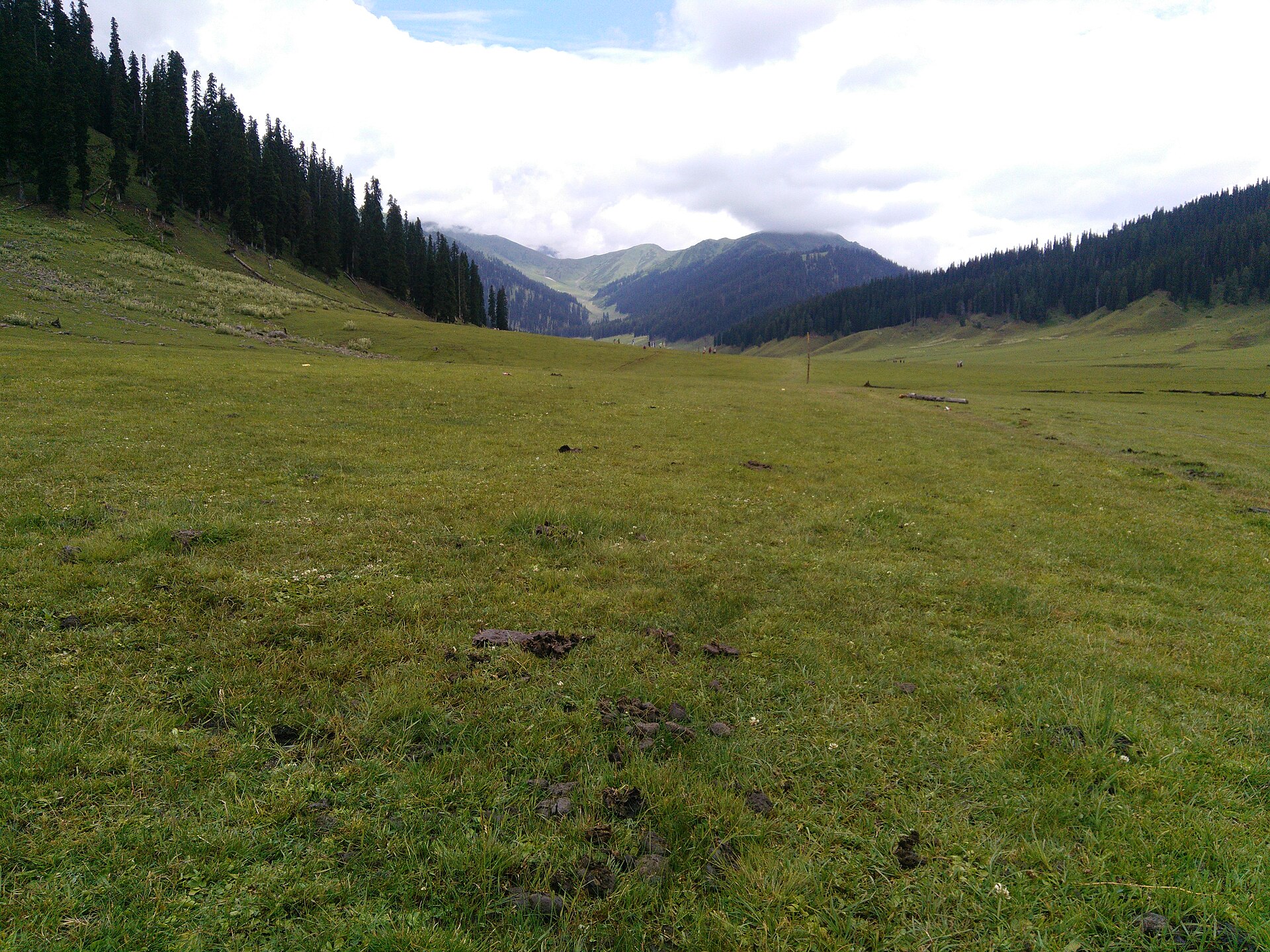
The valley is divided into two distinct sections, locally known as Bod (Big) and Lokut (Small) Bangus. When you look at a topographical map, they appear as two connected bowls separated by a low-lying ridge. Bod Bangus is the larger, primary expanse, often associated with the main camping grounds and the flatter, more expansive views.
Lokut Bangus, while smaller in scale, is arguably more intimate. It has a more sheltered feel, tucked deeper into the slopes. We often tell our travellers that if they have limited time, they should focus their energy on the connectivity between these two zones. The trek between them offers the best panoramic perspective of the entire basin.
The Ecology of Kupwara Ridges
Surrounding the valley are the rugged peaks of the Kupwara ridges. These peaks act as a buffer, catching the monsoon clouds and ensuring that the valley remains lush even when the lower districts of Jammu and Kashmir are parched under the mid-summer heat.
The soil composition here is highly fertile, supporting a diverse range of alpine flora. From mid-June until late August, the valley floor is a living gallery of colour. However, this ecology is fragile. The sheer lack of heavy foot traffic has kept the topsoil intact, and we advocate for a ‘leave no trace’ approach to ensure that the delicate biodiversity remains for the next generation of travellers.
Cultural Significance to Nomadic Tribes
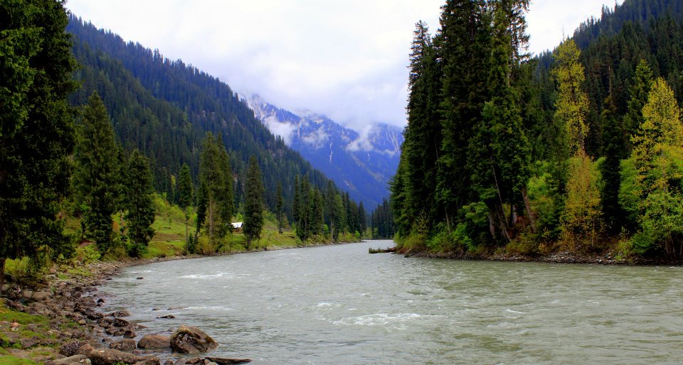
To understand Bangus is to understand the Gujjar and Bakerwal tribes. For centuries, these communities have used these meadows as part of their seasonal migration route (transhumance). They bring their sheep and goats up from the lower valleys as the snow recedes and head back down before the first winter frost.
Their presence here is not just cultural; it is historical architecture. The small wooden huts, or 'dhoks,' scattered across the meadows are built using traditional, low-impact methods. When you interact with these families, you are meeting the custodians of the valley. They are the ones who know exactly how the water flows and where the paths are safest.
Preserving the Untouched Landscape
Because the region is still largely untouched, the burden of preservation falls on those who visit. There are no paved paths, no permanent structures for tourists, and no waste disposal systems. Every plastic bottle, wrapper, or piece of gear you bring in must be brought back out.
We encourage our clients to approach the valley as observers rather than consumers. This isn't a place for loud music or high-impact tourism. It is a place for quiet walking, photography, and an appreciation of a mountain geography that has remained unchanged for thousands of years.
Before you book
Understanding the geography of Bangus Valley is the first step toward a respectful visit. This isn't just an empty field waiting for a resort; it is a vital, living landscape that requires care, awareness, and a sense of wonder.
If you’re drawn to places that still hold a sense of mystery, Bangus might be the perfect fit for your next expedition. We can help you navigate the travel logistics while ensuring your visit remains gentle on this beautiful, high-altitude sanctuary.
Ready to discover the secrets of the Kupwara mountains?
We curate small-group trips that focus on cultural connection and environmental stewardship.
Talk to an expertWritten by
Kashmir, Jammu & Ladakh specialists
We plan and run trips across Kashmir, Jammu and Ladakh every week of the year. Everything here comes from routes we drive, stays we inspect and questions our travellers actually ask.
Quick answers
Questions we get asked
Why is it called a 'saucer' of grasslands?
Because the valley is a flat, basin-like depression surrounded by high, rugged mountain ridges, creating a landscape that feels enclosed and protected.
Can I visit both Bod and Lokut Bangus in one day?
Yes, they are connected by a short, relatively easy trail. Most visitors base themselves in the central area and hike between the two within a few hours.
What nomadic tribes live here?
The Gujjar and Bakerwal tribes are the primary nomadic communities who use the valley for summer grazing.
Is the valley open all year round?
No. The high passes leading to the valley are usually blocked by heavy snow from late autumn through spring. The best window for travel is between June and September.
Where is Bangus Valley exactly?
It is located in the Kupwara district of North Kashmir, sitting at a high altitude near the border regions.
Photography credits
- Photo: Shiv's fotografia · CC BY-SA 4.0
- Photo: Umar Bin Ilyass · CC BY-SA 4.0
- Photo: Idrees Lone 05 · CC BY-SA 4.0
- Photo: Umar Bin Ilyass · CC BY-SA 4.0
- Photo: Smuzammilali · CC BY-SA 4.0
- Photo: Umar Bin Ilyass · CC BY-SA 4.0
- Photo: Umar Bin Ilyass · CC BY-SA 4.0