Trekking in Gurez Valley: A Guide to Remote Trails
Step off the map and onto the high mountain paths of northern Kashmir
An in-depth guide to planning a trek in Gurez Valley, covering route logistics, the Tulail Valley extension, local homestays, and essential preparation.
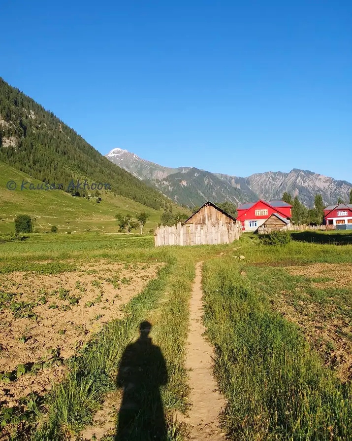
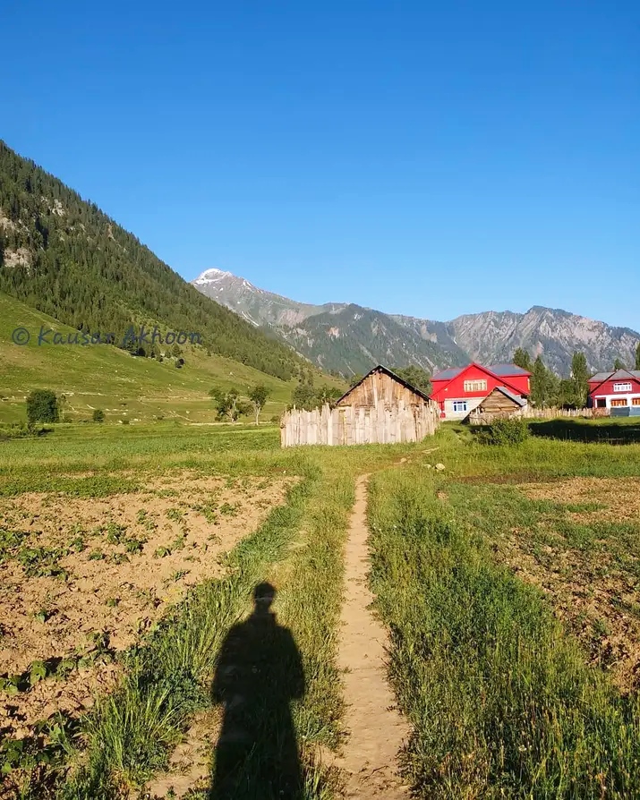
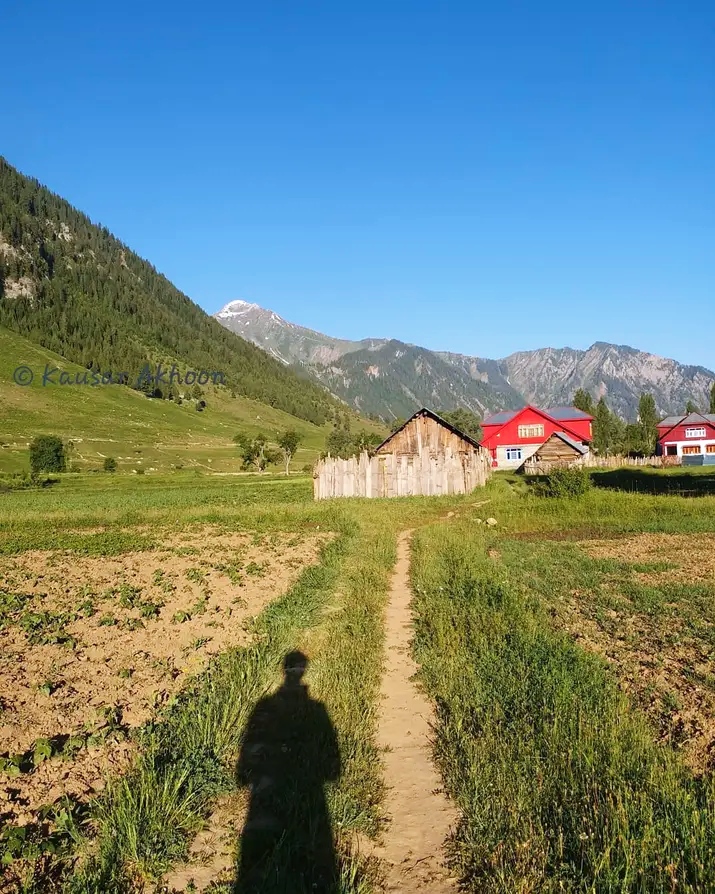
The high altitude grazing tracks offer unmatched solitude for mountain walkers.Photo: Captured by Kausar Akhoon · CC BY-SA 4.0
The smell of dry pine needles and woodsmoke always hits you first as you step out of the jeep at Dawar, the dust of Razdan Pass still clinging to your boots. Most travellers come to Gurez for a quiet two-day look at the Kishanganga river and leave before the afternoon wind picks up from the peaks. But if you keep walking past the last electricity poles and follow the shepherds' tracks deeper north, the real landscape opens up. This is gurez valley trekking at its rawest, far from the tea stalls of Pahalgam or the crowded meadows of Sonamarg.
Doing gurez valley trekking properly requires patience with checkpoints, erratic weather, and legs that can handle six hours of steady ascent over loose shale. You will cross wooden footbridges slung low over roaring glacier meltwater and share evening tea with families who speak Sheina, a language you will not hear anywhere else in the valley. We send clients here every summer, not for luxury lodges, but for the profound silence of the upper ridges where the only sound is the wind rushing through dwarf junipers.
Why the Ridge Trails Out of Dawar Matter
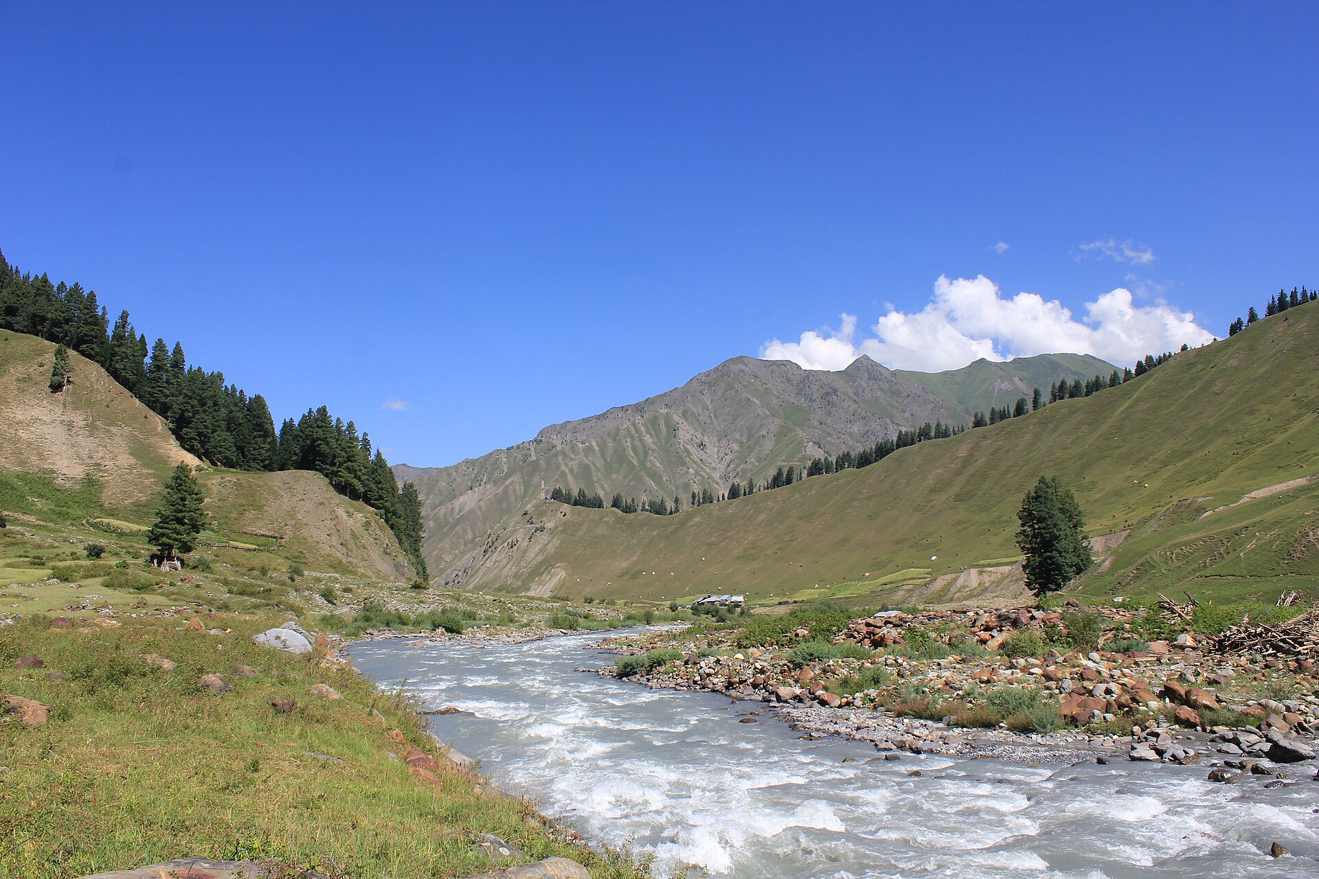
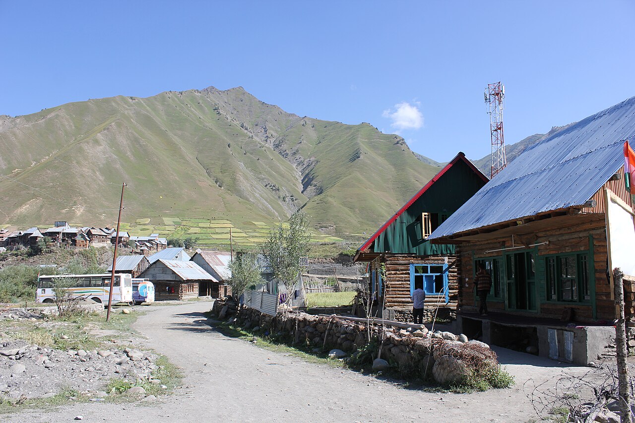
When you start walking from the main market in Dawar, the valley floor sits at roughly 8,000 feet. Within two hours of climbing through pine forests, you break out onto high alpine pastures where horses graze without fences. These ancient grazing tracks connect tiny hamlets that remain cut off for half the year by snow.
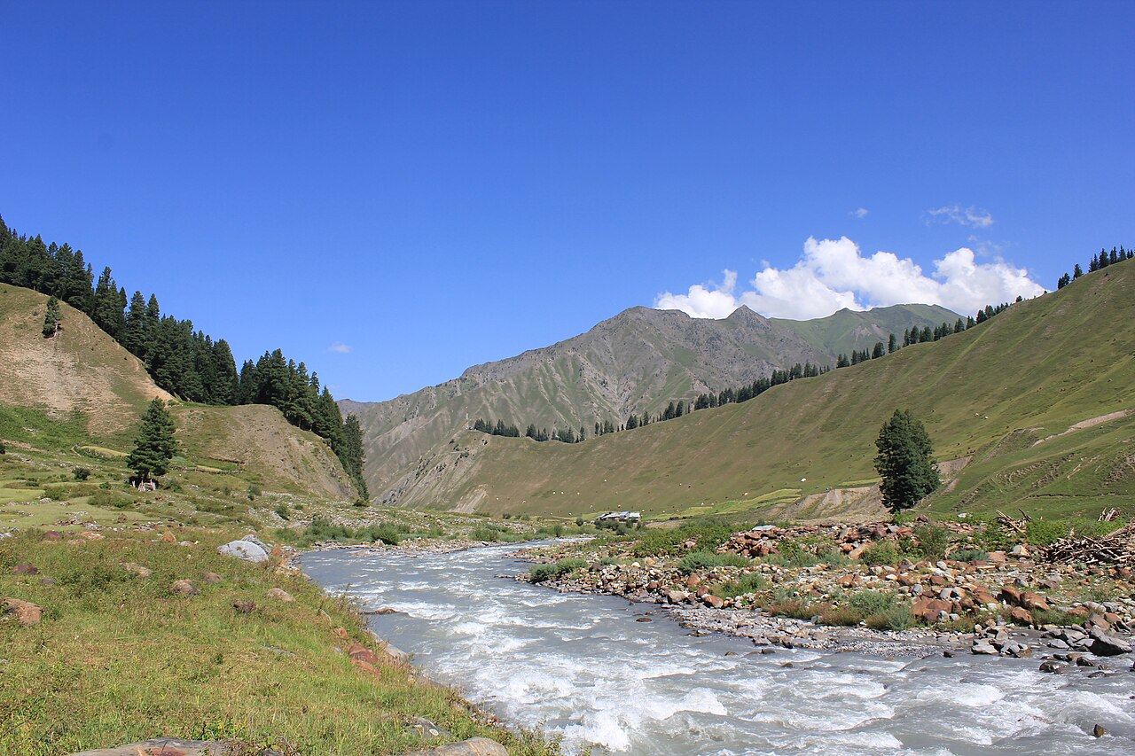
The main draw of gurez valley trekking is not reaching a famous peak summit, but traversing the high plateau country. You walk along ancient migration routes used by the Dard-Shin people for centuries. Every ridge offers a new perspective on the pyramid-shaped Habba Khatoon peak cutting the skyline.
- Start your daily walks by 6:00 AM to beat the intense midday sun.
- Keep your permit copies accessible in an outer pocket for army checks.
- Carry at least three litres of water per person for exposed ridge sections.
Following the Kishanganga Upstream
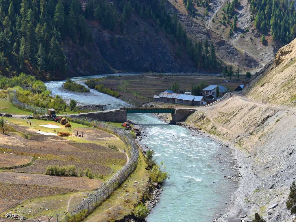
The Kishanganga River carves a dramatic trench through the limestone mountains, and following its upper reaches forms the backbone of any serious itinerary here. Kishanganga trekking takes you past emerald-green pools where trout swim against the current, flanked by vertical cliffs that catch the late afternoon light.
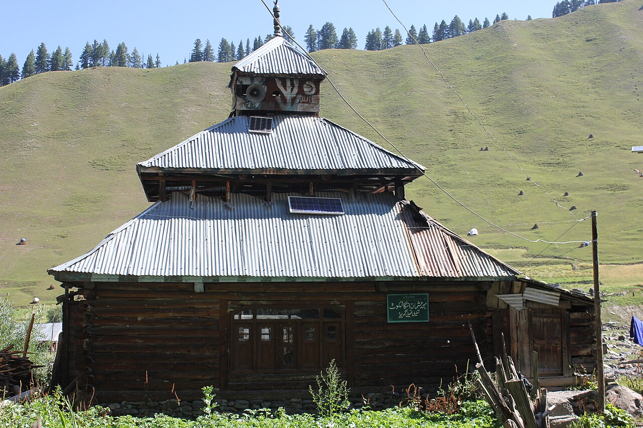
The path hugs the riverbank before climbing steeply around rock bluffs where engineers carved the road out of sheer stone. You will pass through villages built entirely of traditional log-and-stone architecture, known locally as 'dhajji dewari', designed to withstand heavy winter snowloads and minor tremors.
We send clients here every summer, not for luxury lodges, but for the profound silence of the upper ridges.
Pushing Further into the Tulail Valley Trails
Beyond the last drivable road lies the Tulail Valley trek, a true extension for walkers who want absolute isolation. The villages here—Sheikhpora, Burnai, and Purana Dawar—feel frozen in another century. Women wear distinctive embroidered caps and colourful woollen cloaks while working the barley fields.
The trail here tracks narrow horse paths carved into steep earth banks. You will need strong ankles and a head for heights, especially when crossing suspension bridges made of thick wire cables and wooden slats that bounce with every step.
Camping Logistics and Homestay Realities
Accommodation on these remote routes involves a mix of basic village homes and self-supported tent camping. There are no fancy mountain lodges here. We arrange village stays where you sleep on thick woollen rugs laid over timber floors, eating dal, rice, and fresh potatoes grown in local kitchen gardens.
If you prefer camping, bring a four-season tent that can handle sudden summer gales sweeping down from the high passes. Pitch your tents on flat river terraces well away from potential rockfall zones on the steep valley walls above.
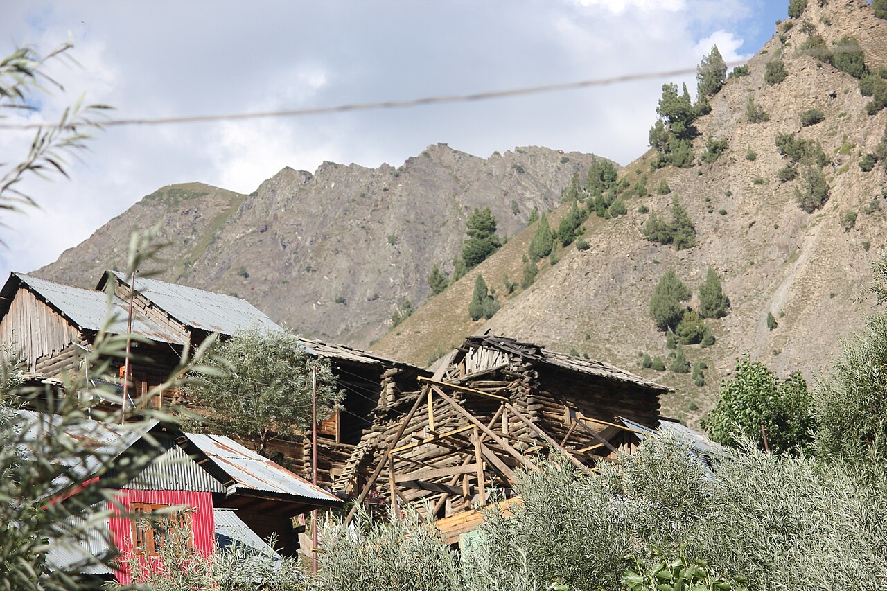
Essential Gear for High-Altitude Walking
The weather in northern Kashmir changes without warning. A blue morning sky can turn into a freezing hailstorm by two in the afternoon. Layering is your only defence against hypothermia on exposed mountain shoulders.
Sturdy hiking boots with ankle support are non-negotiable because the shale paths can roll under your feet. Trekking poles save your knees on the steep descent back into Dawar after a long day on the high plateaus.
- Waterproof shell jacket and overtrousers with sealed seams.
- High-SPF sunscreen and polarised sunglasses for intense glare off limestone rocks.
- A robust first aid kit including altitude sickness medication and blister care.
- Headtorch with extra lithium batteries for early morning departures.
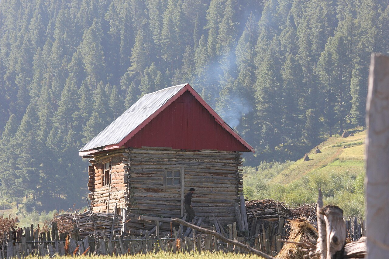
Practising Responsible Mountain Travel
Because these ecosystems are fragile and isolated, managing waste is a critical challenge. Whatever plastic or packaging you carry up the trail must come back down in your rucksack. There are no municipal waste disposal systems in the upper hamlets of Tulail.
Respect local privacy when photographing people working in the fields. Always ask permission first, especially with village elders and women. Supporting local guides and mule drivers ensures that tourism dollars directly benefit families living in this demanding environment.
Before you book
Trekking through Gurez and its upper extensions demands effort, flexibility, and respect for a landscape that answers to its own rules. The reward is an encounter with a mountain culture largely untouched by mass tourism, where the mountains rise sheer and silent against the northern sky.
If you want to experience these remote paths with reliable logistics and local expertise, take a look at our main <a href="/destinations/kashmir/gurez-valley">Gurez Valley tours</a> or get in touch through our <a href="/contact">contact page</a> to discuss a custom walking itinerary.
Ready to explore the remote trails of Gurez?
Let our team handle the permits, transport, and local guides while you focus on the walk.
Plan Your Gurez TrekCaption for your own post
Walking the high ridge trails of Gurez Valley where the only sound is the wind through dwarf junipers.
Written by
Kashmir, Jammu & Ladakh specialists
We plan and run trips across Kashmir, Jammu and Ladakh every week of the year. Everything here comes from routes we drive, stays we inspect and questions our travellers actually ask.
Having hiked these ridges multiple times in July and August, I cannot stress enough the importance of good ankle support and early morning starts.
Quick answers
Questions we get asked
What is the best time of year for gurez valley trekking?
The ideal window runs from July to September. Snow has cleared from the high passes by early July, and the autumn colours begin showing in late September before winter closes the road in November.
Do I need special permits to trek near the border in Gurez?
Yes, Indian nationals require valid photo ID and local registration at Dawar checkpoints, while foreign nationals need specific restricted area permits arranged in advance through authorised operators.
How difficult are the trails around Tulail Valley?
The routes range from moderate day hikes to strenuous multi-day traverses. Expect daily walking times of five to seven hours with significant elevation gains over uneven terrain.
Can I hire local guides and porters in Dawar?
Yes, local young men and experienced horsemen operate out of Dawar market. We arrange vetted local guides who know the weather patterns and safe water sources along the ridges.
Is mobile network connectivity available on these remote treks?
Only Bsnl postpaid connections work sporadically in Dawar town. Once you venture onto the high trails or into Tulail, expect complete digital silence for days at a time.
Photography credits
- Photo: Captured by Kausar Akhoon · CC BY-SA 4.0
- Photo: Abhirup Paul · CC BY-SA 4.0
- Photo: Journo Mohsin · CC BY-SA 4.0
- Photo: Journo Mohsin · CC BY-SA 4.0
- Photo: Journo Mohsin · CC BY-SA 4.0
- Photo: Journo Mohsin · CC BY-SA 4.0
- Photo: Journo Mohsin · CC BY-SA 4.0