Travelling from Nubra Valley to Pangong Lake: Distances
A realistic look at the Shyok River road, driving times, road conditions, and why skipping Leh makes this trans-Ladakh route worthwhile.
Wondering how far is Nubra Valley from Pangong Lake? Read our practical travel guide covering distance, driving times, Shyok River road conditions, and safety tips.
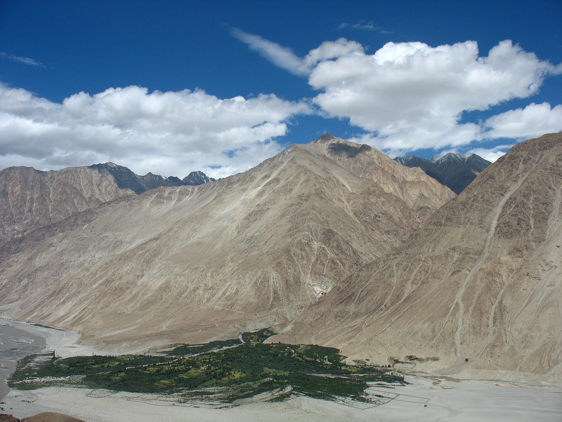
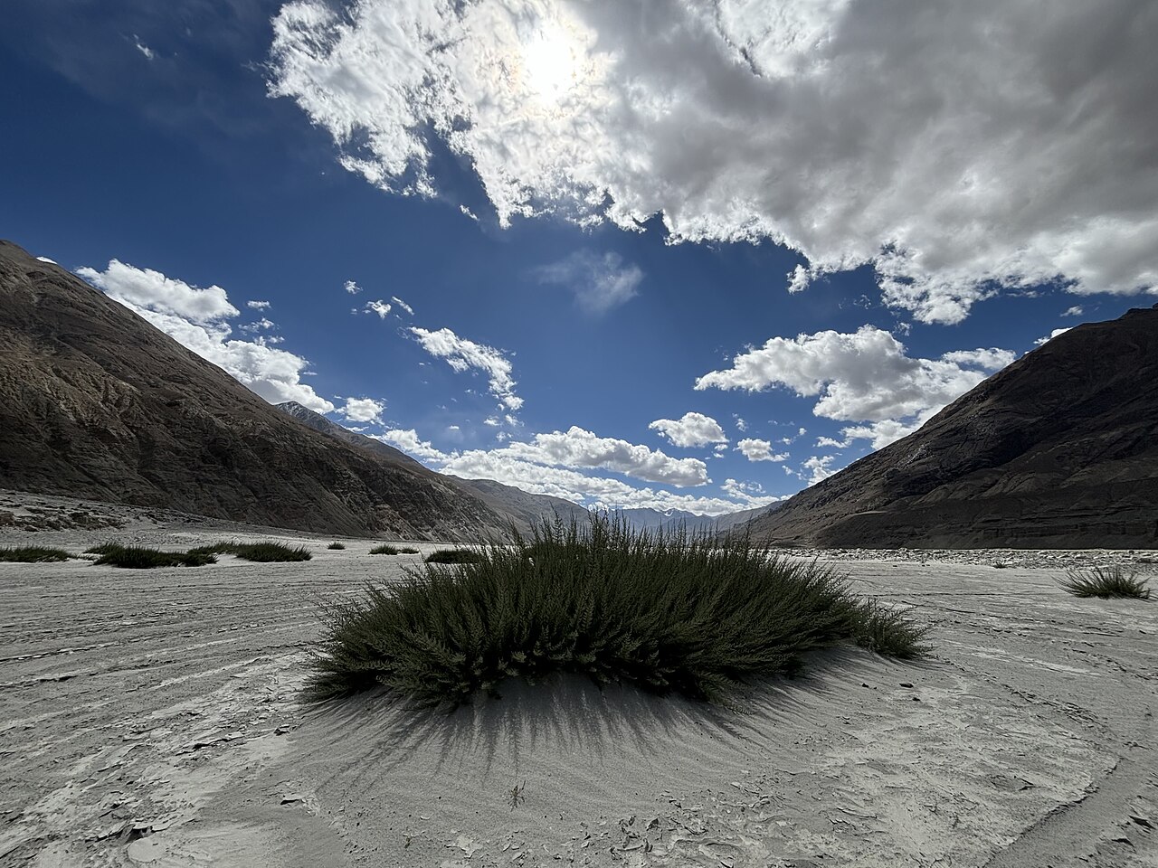
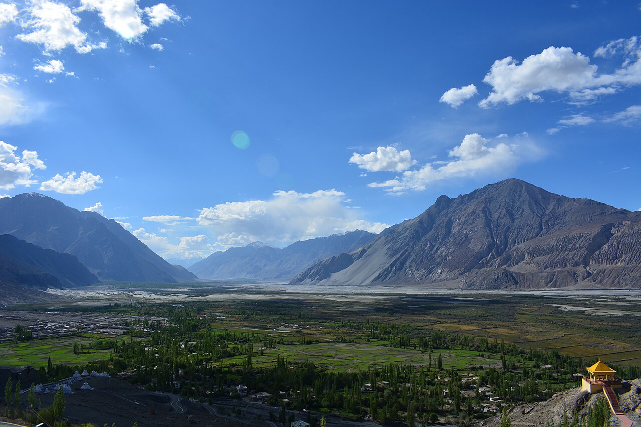
The direct road follows the dramatic and rugged Shyok River canyon.Photo: Shefshef · Public domain
The engine of our Scorpio rattled as we crossed the makeshift bridge over a churning grey channel of glacial meltwater, with sheer rock walls towering overhead. For most travellers staring at a map of Ladakh, connecting the northern desert valley directly to the famous blue expanse of Pangong Tso looks like a short straight line across the mountains.
In reality, that line represents one of the most rugged, unpredictable backcountry driving routes in the Himalayas. Instead of backtracking all the way south to Leh and heading out again—a massive waste of time and fuel—modern itineraries take the direct cross-country track following the course of the Shyok River.
If you are wondering how far the journey actually is and what kind of road conditions to expect, you need realistic answers rather than optimistic estimates. Here is what you encounter when you trade the highway for the riverbed.
The Shyok River Route Explained
The most direct driving track between the two regions runs via Diskit, Agham, Shyok village, Durbuk, and Tangtse, culminating at Spangmik on the banks of Pangong Lake. This route hugs the floor of the Shyok River valley, which translates to 'River of Death' in the local language due to its history of sudden, violent flash floods.
Choosing this path cuts out the need to return to Leh, saving you nearly 150 kilometres of backtracking and a grueling repeat climb over Khardung La. You drop from the high dunes of Hunder down into the narrow river gorge, winding your way past boulder fields and military encampments.
We always recommend this trans-valley route to clients who want to maximise their time exploring rather than sitting in a vehicle. However, it demands a capable four-wheel-drive vehicle and an experienced local driver who can read changing water levels across unpaved sections.
- Direct route skips backtracking through Leh town entirely.
- Follows the rugged course of the Shyok River canyon.
- Passes through Agham, Shyok village, Durbuk, and Tangtse.
Travel Time Expectations and Distance
The geographical distance between the two destinations is roughly 150 to 170 kilometres depending on your exact starting point in Hunder or Diskit and where you camp by the lake.
However, measuring journeys in Ladakh by kilometres alone is a rookie mistake. Average driving speeds along the Shyok track rarely exceed 30 kilometres per hour due to unpaved gravel stretches, water crossings, and sharp hairpin turns.
Expect the entire journey to take anywhere from 6 to 8 hours of continuous driving. If you stop frequently for photography, tea breaks at roadside shacks, or military checkpoint inspections, the trip easily stretches into a full-day expedition.
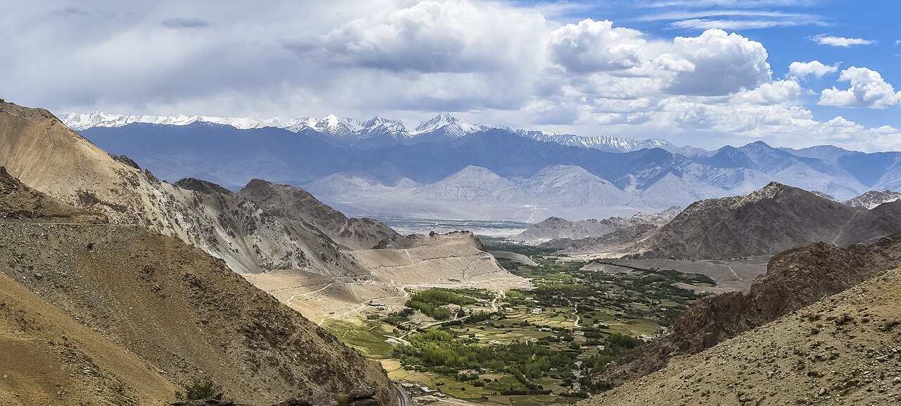
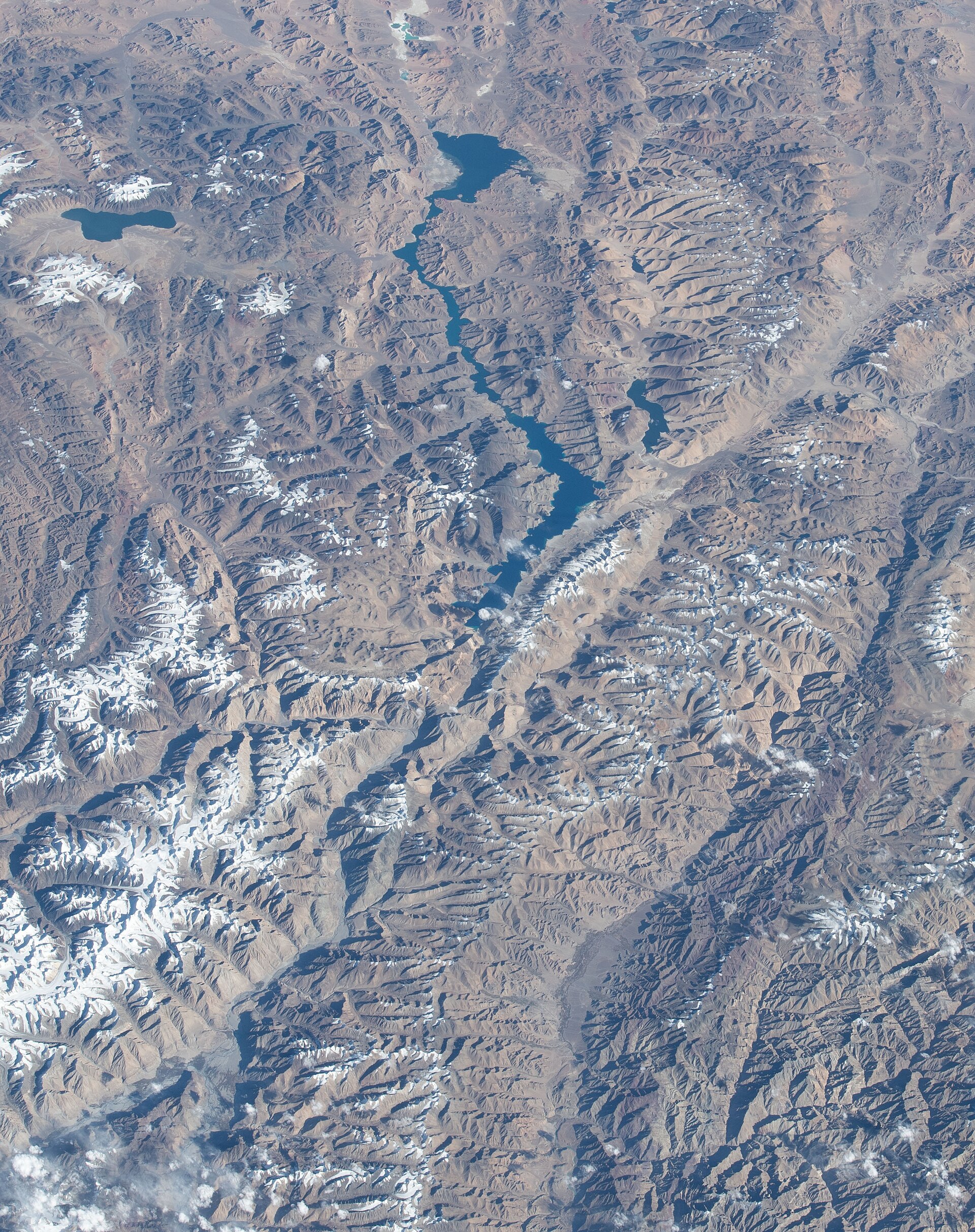
Measuring journeys in Ladakh by kilometres alone is a rookie mistake; average driving speeds rarely exceed 30 km/h.
Road Conditions and Safety Realities
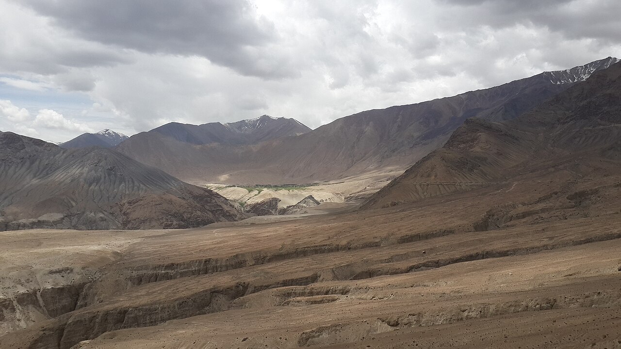
Do not expect a smooth tarmac highway for this entire leg. While the Border Roads Organisation works tirelessly to pave sections of the route, large portions consist of loose gravel, dirt tracks, and occasional water streams flowing directly across the road surface.
Rockfall is an ongoing hazard, particularly during mid-afternoon when solar heating loosens shale stones high up on the canyon walls. Drivers must keep their eyes peeled upward while navigating blind corners.
Mobile phone connectivity drops to zero as soon as you leave Diskit and does not return until you approach Tangtse near Pangong. Travelling with a reliable vehicle and carrying emergency rations, water, and basic toolkits is mandatory.
- Unpaved gravel stretches and water crossings require high ground clearance.
- Afternoon rockfall is common along steep canyon walls.
- Zero mobile network coverage exists across the entire Shyok river corridor.
Best Time of Day to Travel the Route
Timing your departure from Nubra Valley determines how smoothly the drive goes. Most experienced drivers prefer leaving between 7:00 AM and 8:00 AM after breakfast in Hunder or Diskit.
Morning hours offer the best light for photography, illuminating the dramatic rock strata of the gorge while keeping glare off your windshield. More importantly, morning temperatures keep glacial meltwater streams lower and easier to cross safely.
As the afternoon sun beats down on upper glaciers, snowmelt accelerates, causing shallow streams you crossed easily in the morning to swell into rushing torrents by afternoon. Starting early eliminates this major hazard entirely.
Why You Should Hire a Local Driver
Attempting this route in a self-drive hatchback rental is asking for mechanical disaster. The sharp shale rocks shred standard tyres instantly, and low-slung bumpers scrape against boulders on unpaved riverbeds.
Hiring a local Ladakhi driver who operates a sturdy multi-utility vehicle changes the entire experience. These drivers know every pothole, understand when a water stream is safe to cross, and carry spare parts and puncture kits specifically suited for mountain terrain.
Furthermore, local drivers maintain radio or word-of-mouth contact with oncoming vehicles, giving them advance warning if a landslide has blocked the path ahead. Check out our detailed guides on Nubra Valley logistics to find trusted transport options.
Acclimatisation Considerations for the Traverse
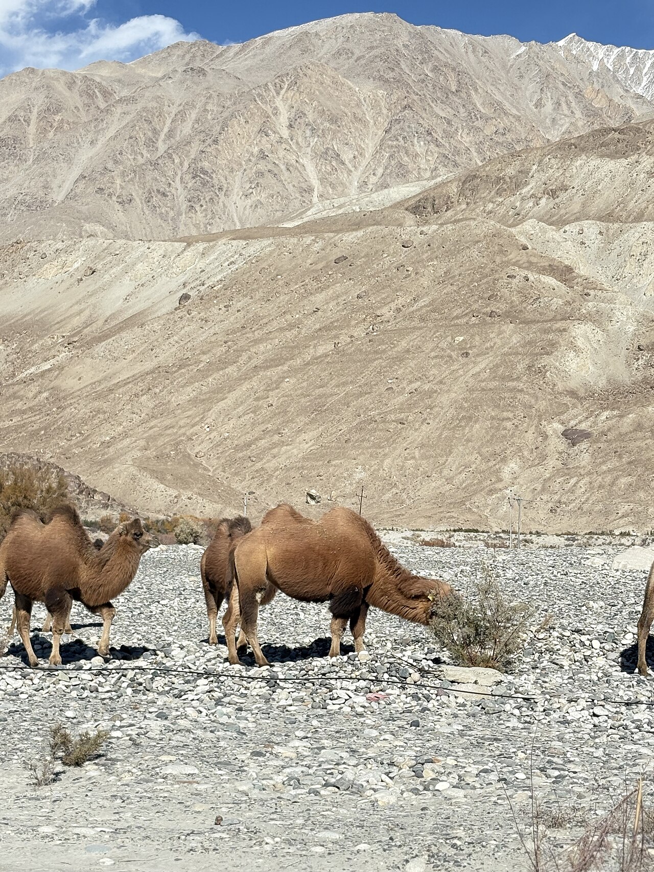
While dropping down into the Shyok River valley brings you to a slightly lower elevation of around 2,700 metres, you quickly climb back up to over 4,250 metres when you reach Pangong Lake.
This sudden fluctuation in altitude can trigger symptoms of acute mountain sickness if your body has not spent adequate time adjusting in Leh first. Never attempt this cross-country route on your very first day arriving in Ladakh.
Stay hydrated, avoid alcohol or heavy sleeping pills along the way, and let your driver know immediately if you start experiencing headaches or dizziness while traversing Durbuk and Tangtse.
Before you book
Connecting the desert dunes of the northern valley directly to the turquoise shores of Pangong Tso is one of the most rewarding road trips you can take in the Himalayas. By skipping the detour through Leh, you save hours of travel time and experience some of the wildest river canyons in the region.
If you want to map out a seamless trans-Ladakh itinerary without worrying about vehicle breakdowns or road permits, our team at Skywale Packages is ready to help. Drop us a line, and let us arrange a safe, unforgettable journey for your next holiday.
Plan Your Ladakh Road Trip With Us
Let our experienced local drivers navigate the Shyok River route while you sit back and enjoy the mountain views.
Contact Our Travel DeskCaption for your own post
Hitting the rugged Shyok River road from Nubra Valley to Pangong Lake. No tarmac, no mobile network, just pure Himalayan adventure.
Written by
Kashmir, Jammu & Ladakh specialists
We plan and run trips across Kashmir, Jammu and Ladakh every week of the year. Everything here comes from routes we drive, stays we inspect and questions our travellers actually ask.
Written after navigating the Shyok River track across multiple summer seasons.
Quick answers
Questions we get asked
How far is Nubra Valley from Pangong Lake by road?
The distance is approximately 150 to 170 kilometres when taking the direct route via the Shyok River road, compared to backtracking nearly 300 kilometres via Leh.
How long does it take to drive from Nubra Valley to Pangong Lake?
The journey typically takes 6 to 8 hours of driving time, depending on road conditions, military checkpoint queues, and stops for photography along the Shyok River.
Is the Shyok River route safe for tourists?
Yes, it is safe when travelled during daylight hours with experienced local drivers and in suitable vehicles. However, flash floods and rockfalls can occur, so checking local weather and road status is essential.
Do I need a new permit for travelling between Nubra and Pangong?
You do not need a separate permit if your existing Inner Line Permit already lists both Nubra Valley and Pangong Lake as approved sectors.
Can I do this drive in a standard hatchback car?
No, standard low-clearance sedans or hatchbacks are strongly discouraged due to unpaved dirt tracks, sharp shale stones, and water crossings that require high ground clearance.
Photography credits
- Photo: Shefshef · Public domain
- Photo: Earth Science and Remote Sensing Unit , Lyndon B. Johnson Space Center · Public domain
- Photo: HiranmoyPAC · CC BY-SA 4.0
- Photo: Always urs0509 · CC BY-SA 4.0
- Photo: Krishm27 · CC BY-SA 4.0
- Photo: Addy6697 · CC BY-SA 4.0
- Photo: DiluteOxygen · CC BY-SA 4.0