Planning Your Visit: Understanding the Nathatop Region
Navigating geography, logistics, and regional boundaries for your next Jammu trip.
Clarify regional boundaries, journey times, and itinerary planning for your upcoming trip to Nathatop location.
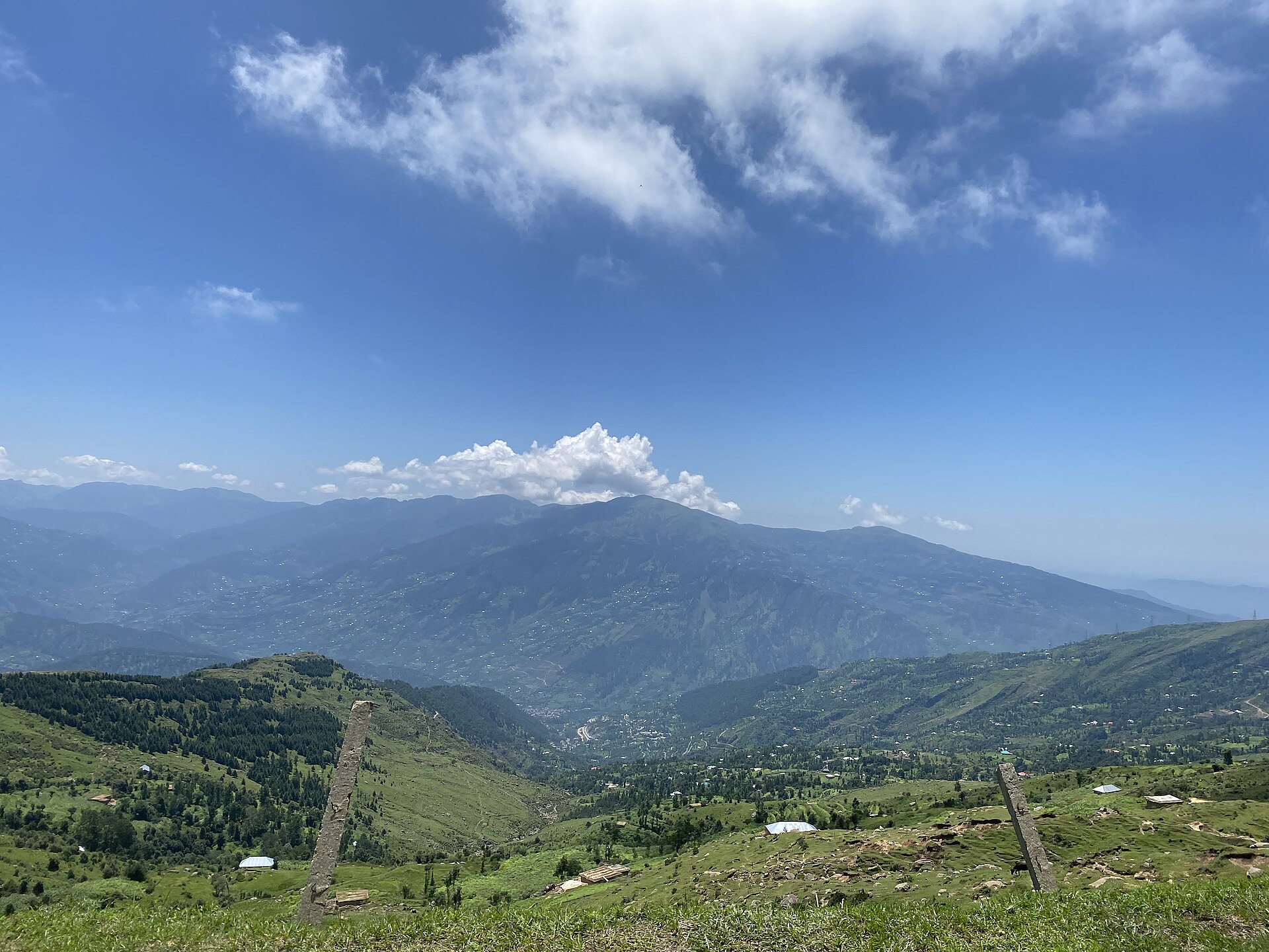
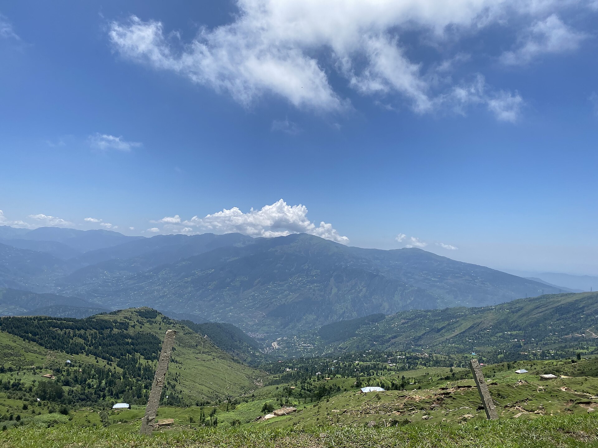
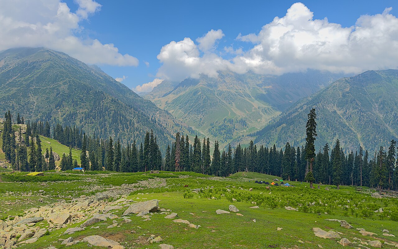
The sweeping topography of the lower Jammu Himalayas.Photo: UnpetitproleX · CC BY-SA 4.0
The first time I tried explaining to a taxi driver at Jammu railway station that I wanted to go straight to Nathatop without stopping in Patnitop, he looked at me like I had asked to be dropped on the moon. Travellers often blur these mountain settlements into a single geographic entity. In reality, understanding the exact nathatop location changes how you pack, how long your transfers take, and which hotel you should book for the night.
Geographically, this ridge sits entirely within the Jammu province, well south of the Kashmir valley proper. That distinction matters for permit requirements, mobile network signals, and weather patterns. Let us break down how this terrain actually lays out so you can build a sensible road trip.
Geographic Context and Territorial Boundaries
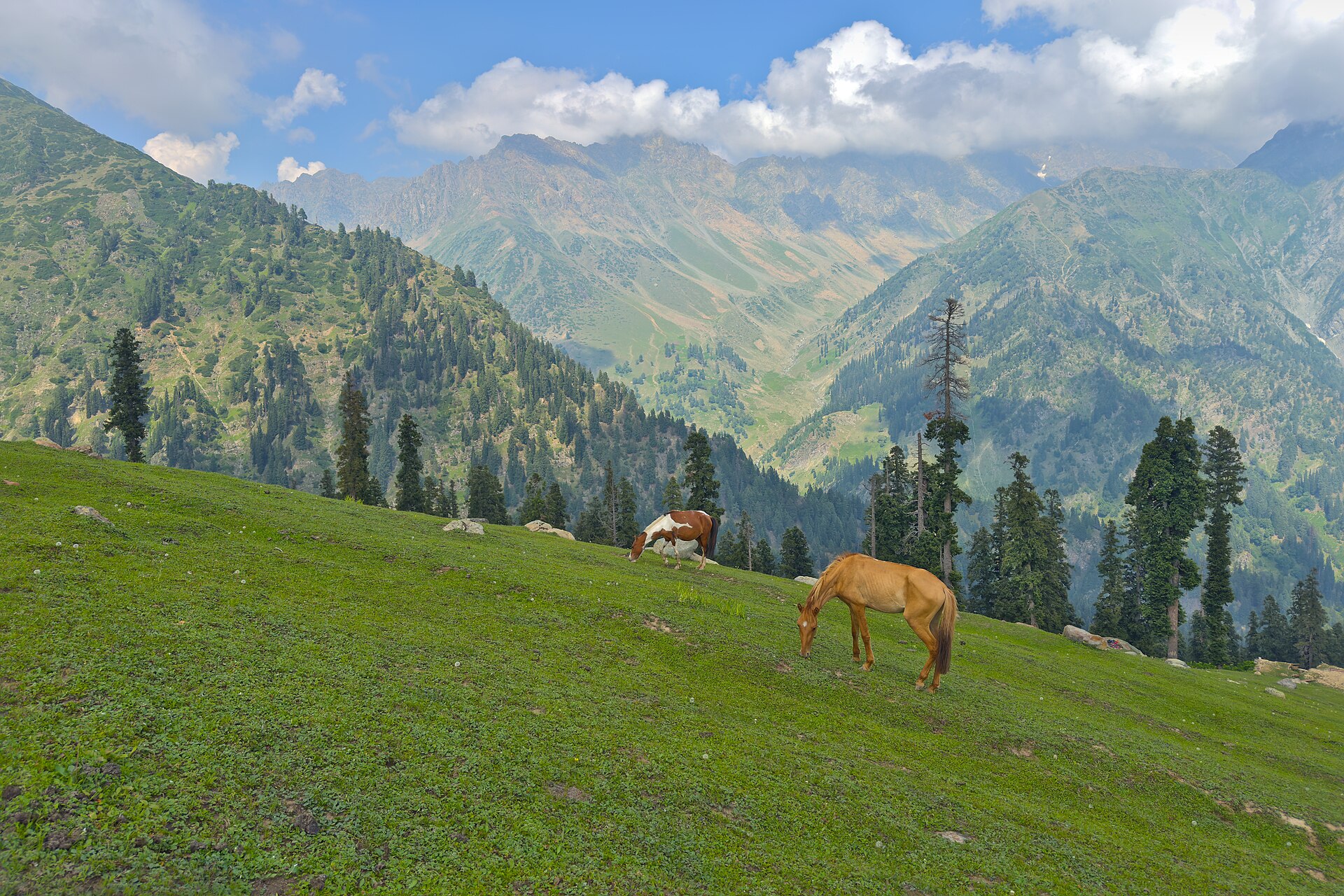
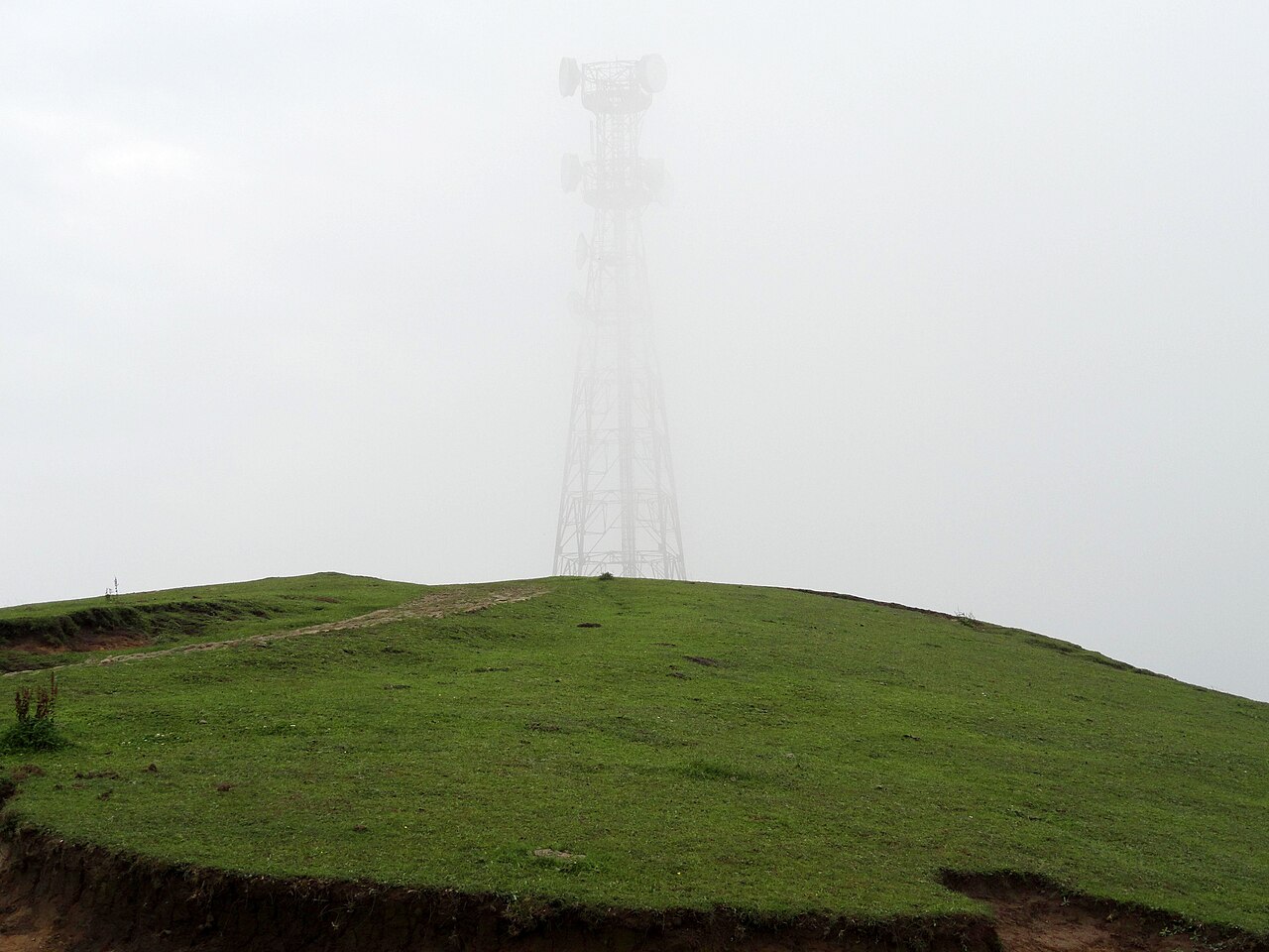
When people ask about the nathatop location, they are usually picturing a grassy meadow that sits roughly 2,216 metres above sea level. It is situated in the Udhampur district of Jammu and Kashmir. While tourists frequently treat it as an extension of the busier Patnitop hill station, it is actually a distinct ridge sitting about fourteen kilometres further up the winding tarmac.
The terrain here marks a transition zone. The lower valleys are thick with pine and deodar forests, but as you climb toward the top, the trees thin out into rolling alpine pastures. On clear winter days, you can look out across the Chenab river basin and catch distant views of the Kishtwar ranges.
- District: Udhampur, Jammu division
- Elevation: Approx. 2,216 metres
- Distance from Patnitop: 14 kilometres north
- Terrain type: Alpine ridge and meadow
Why Regional Geography Dictates Your Itinerary
If you try to visit this ridge as a quick day trip from Katra without factoring in the mountain roads, you will spend four hours in a car for every one hour on the grass. The Jammu and Kashmir travel circuit requires careful staging because elevation gains are steep and roads are narrow. Planning an overnight stay lower down makes the morning drive far less punishing.
We always advise clients to anchor their stay in the Patnitop region rather than trying to commute from Jammu city every day. The morning light over the meadows is worth the early start, and you avoid the afternoon tourist traffic coming up from the plains.
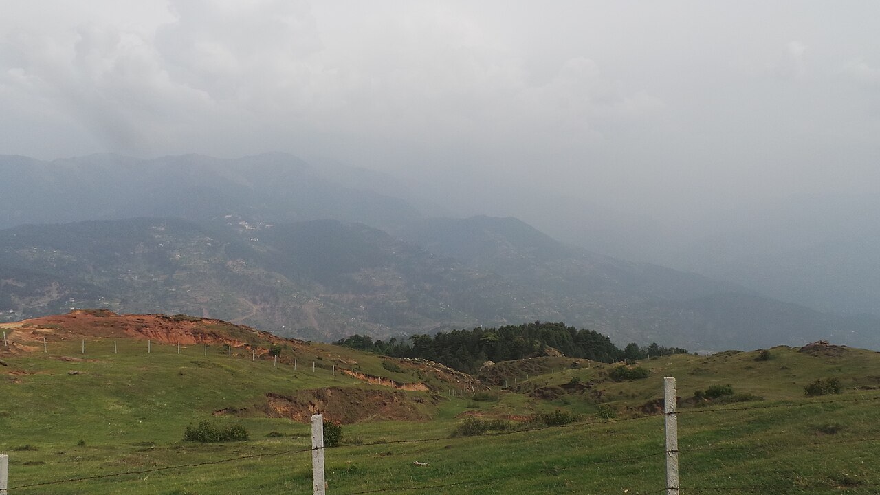
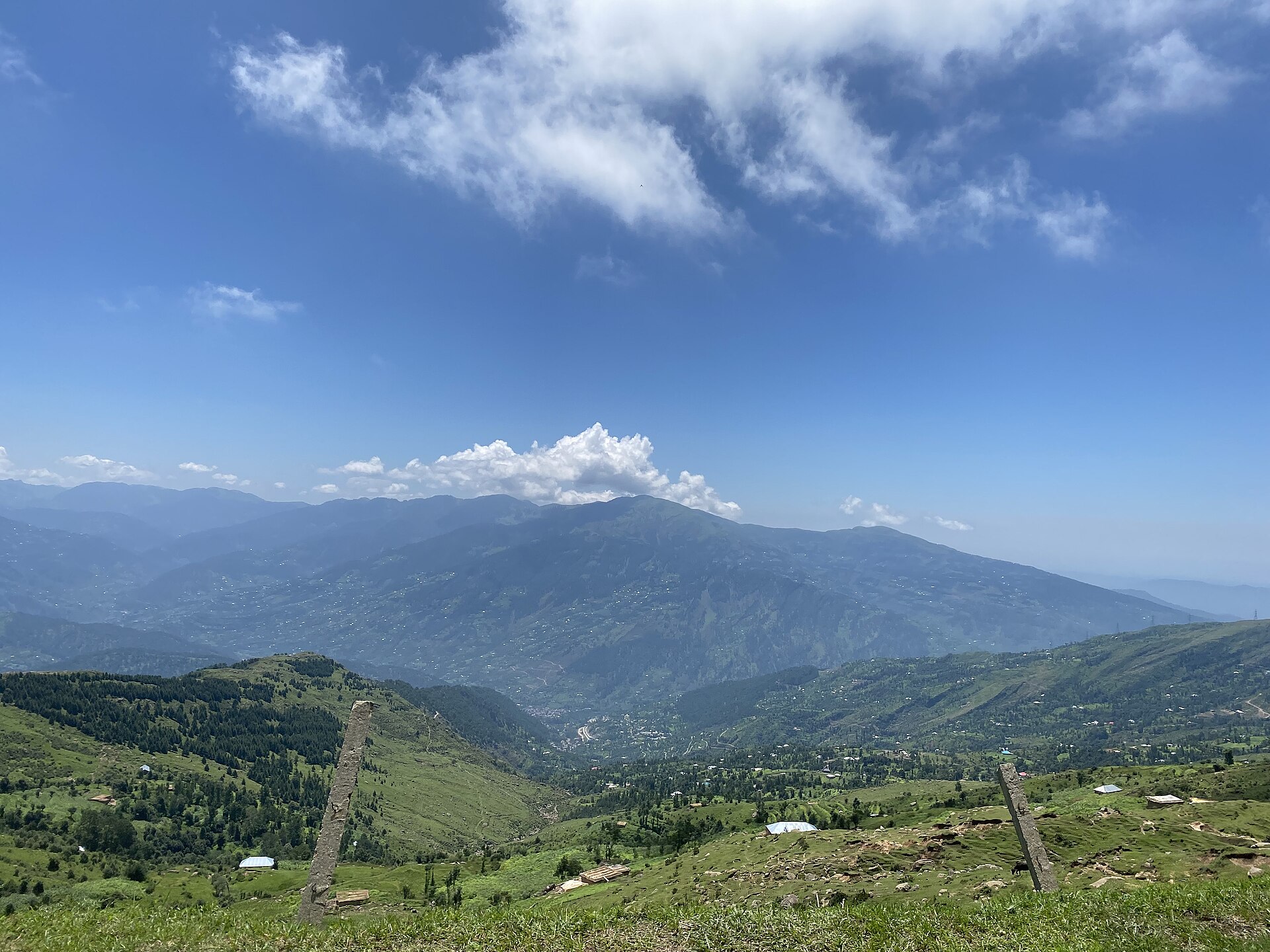
Understanding the exact nathatop location changes how you pack, how long your transfers take, and which hotel you should book.
Accessibility from Jammu City and Major Hubs
Getting to this ridge involves a journey of roughly 110 kilometres from Jammu Tawi railway station or the airport. The drive takes between three and four hours depending on truck traffic along the Jammu-Srinagar highway. You will cross the Chenab bridge at Ramban district's threshold before climbing through Patnitop.
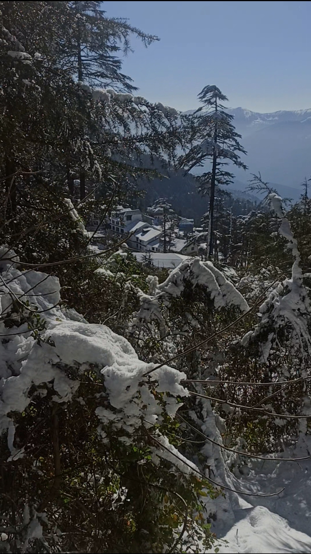
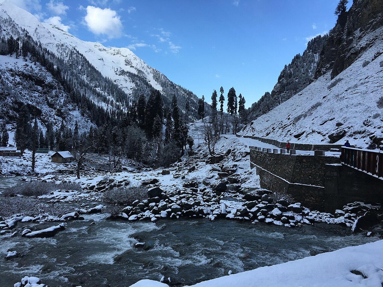
The final stretch from Patnitop to the upper meadows is steep. Local drivers carry tire chains in their boots from December through March because black ice forms quickly in the shaded hairpin bends.
Road Quality and Seasonality
The tarmac is generally well-maintained by the Border Roads Organisation, but monsoon rains often trigger minor slips between Kud and Patnitop. Always check road status reports the morning you plan to move.
Combining Neighboring Mountain Destinations
A well-crafted itinerary does not isolate the ridge. Most visitors pair it with a trek or drive toward Sanasar, a saucer-shaped meadow tucked further into the hills. The route between these points offers some of the finest valley panoramas in the lower Himalayas.
If you are travelling with family, you might also tie the trip to a spiritual stop at Vaishno Devi, balancing high-altitude meadows with the pilgrimage trail before heading back down to Jammu.
Expert Tips for Regional Planning
Pack layers regardless of the month. Even in July, a sudden mountain squall can drop temperatures by ten degrees within twenty minutes. Bring windproof jackets if you plan on trying the paragliding launches off the ridge.
Book your transport with local operators who know how to handle high-altitude engine performance. Standard tourist cabs from the plains sometimes struggle with the steep gradients on the final push to the top.
Before you book
Getting the geography right is the foundation of any successful mountain holiday in this part of Jammu. By respecting the travel times and mountain distances, you can trade rushed transfers for unhurried afternoons on the grass.
If you want help mapping out a route that links these peaks without burning out your travel party, our team is always here to chat through the logistics.
Ready to Plan Your Jammu Route?
Let our local team build a custom itinerary that takes the guesswork out of mountain driving.
Talk to Our ExpertsCaption for your own post
Mapping out your mountain route? Here is what you need to know about regional distances and travel times in Jammu.
Written by
Kashmir, Jammu & Ladakh specialists
We plan and run trips across Kashmir, Jammu and Ladakh every week of the year. Everything here comes from routes we drive, stays we inspect and questions our travellers actually ask.
Written after countless road trips up the Udhampur-Patnitop highway in every season.
Quick answers
Questions we get asked
Is the ridge located in Kashmir proper?
No, it is located in the Jammu province within the Udhampur district, well south of the Kashmir valley.
How far is it from Patnitop?
It is approximately 14 kilometres uphill from Patnitop, taking around thirty to forty minutes by road.
Can I visit as a day trip from Jammu?
Yes, but expect a long day with roughly six to eight hours of total driving time round trip.
Photography credits
- Photo: UnpetitproleX · CC BY-SA 4.0
- Photo: Rupali Kushwaha · CC BY 4.0
- Photo: Hiteshpaarth · CC BY-SA 3.0
- Photo: Inci0209 · CC BY-SA 4.0
- Photo: Annihyung · CC0
- Photo: UnpetitproleX · CC BY-SA 4.0
- Photo: Akigupta131 · CC BY-SA 4.0