Planning Your Trip: Bhaderwah vs. Kashmir Valley
Deciding between the deep pine forests of Jammu's mountains and the famous willow-lined plains of the north.
A direct, ground-level comparison between travelling through Bhaderwah in Jammu and exploring the classic Kashmir Valley.
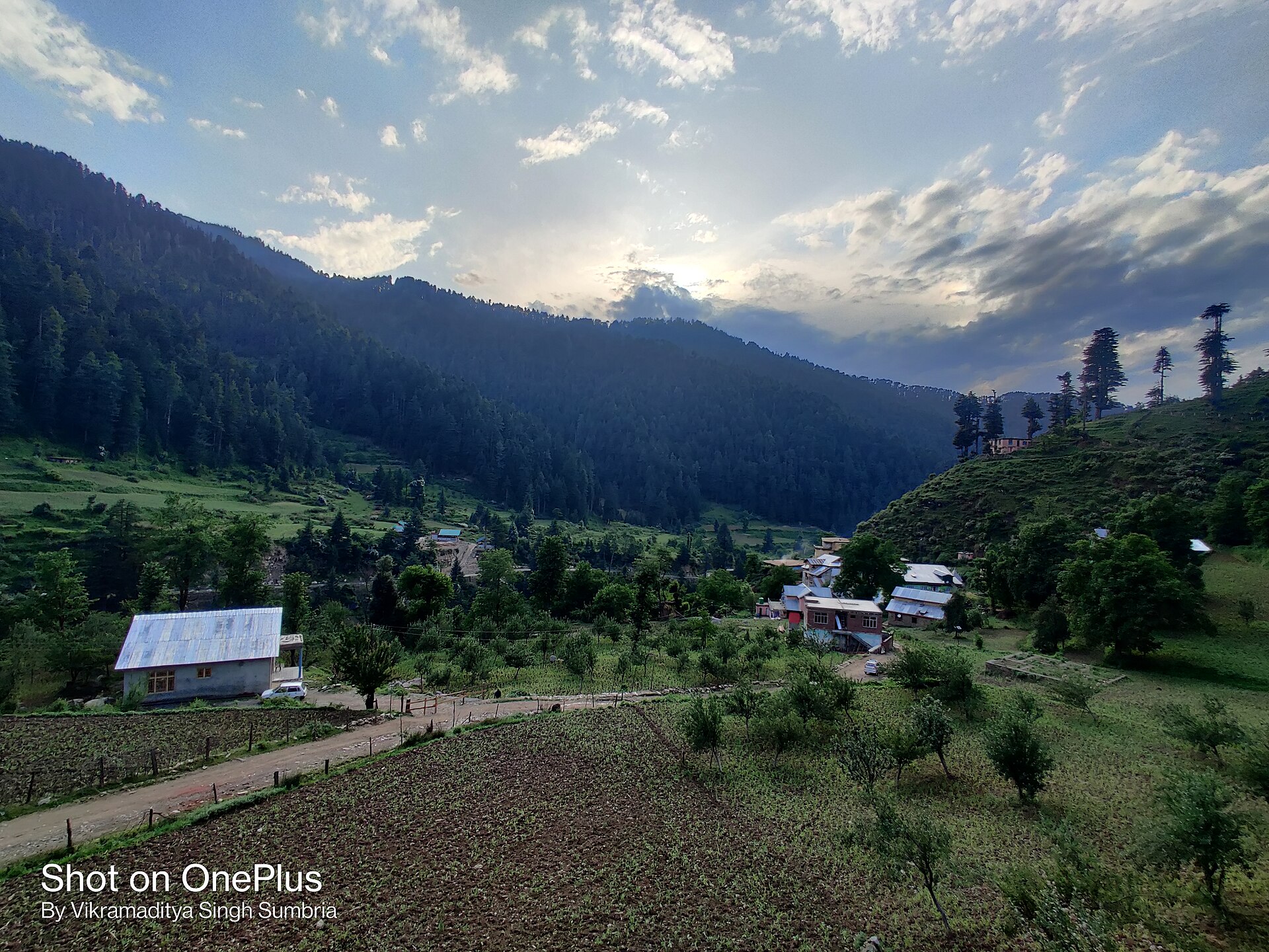
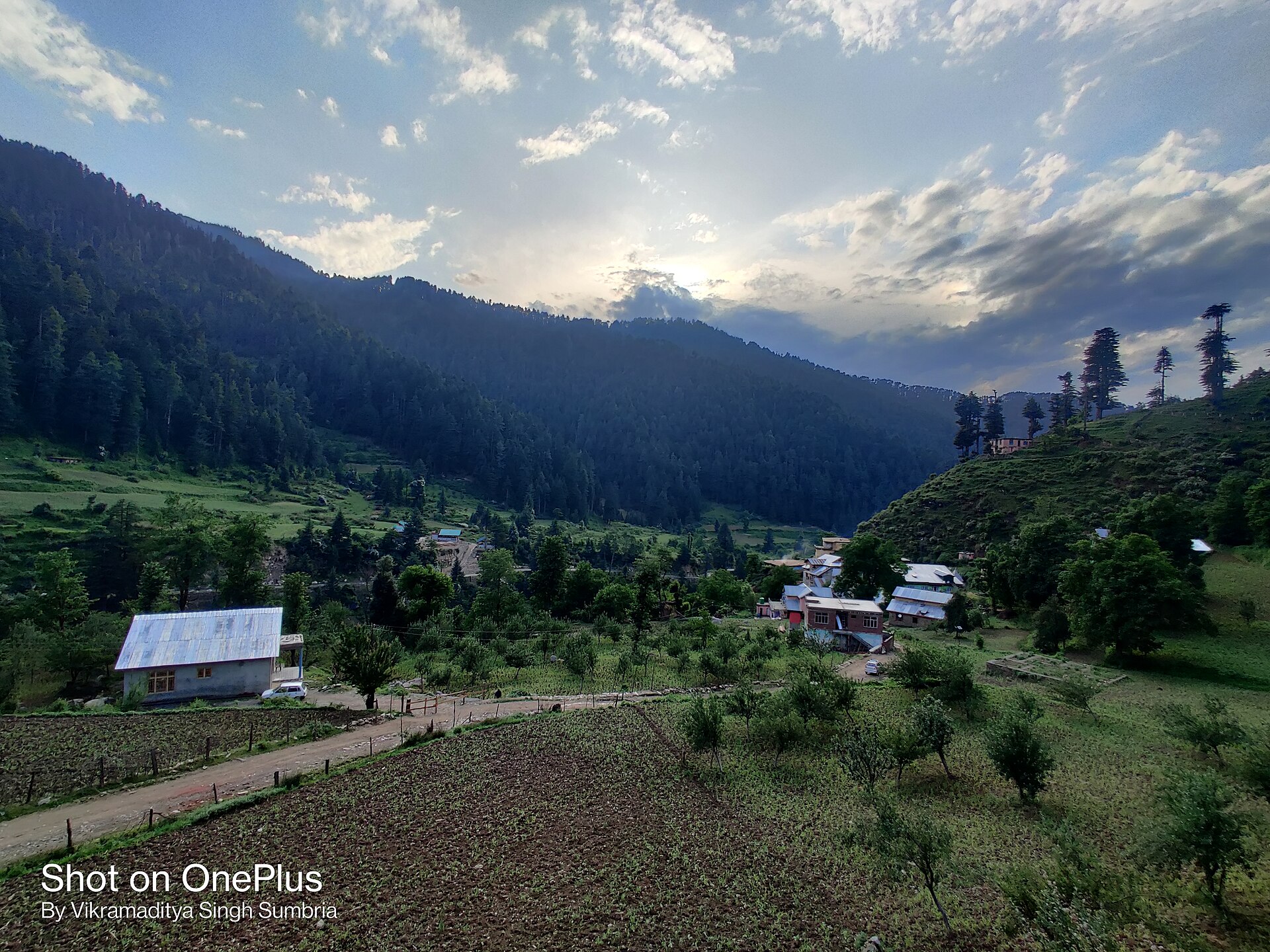
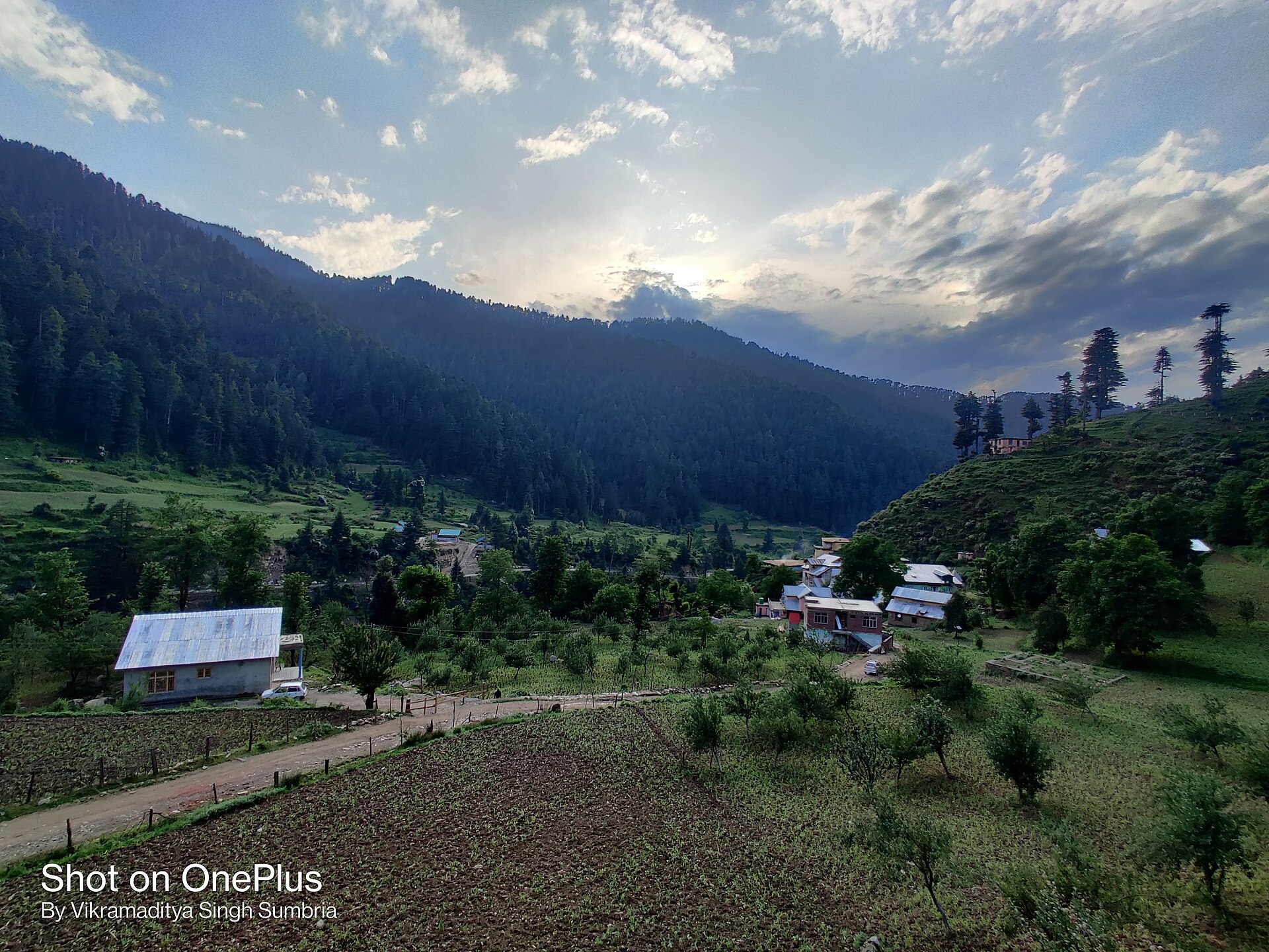
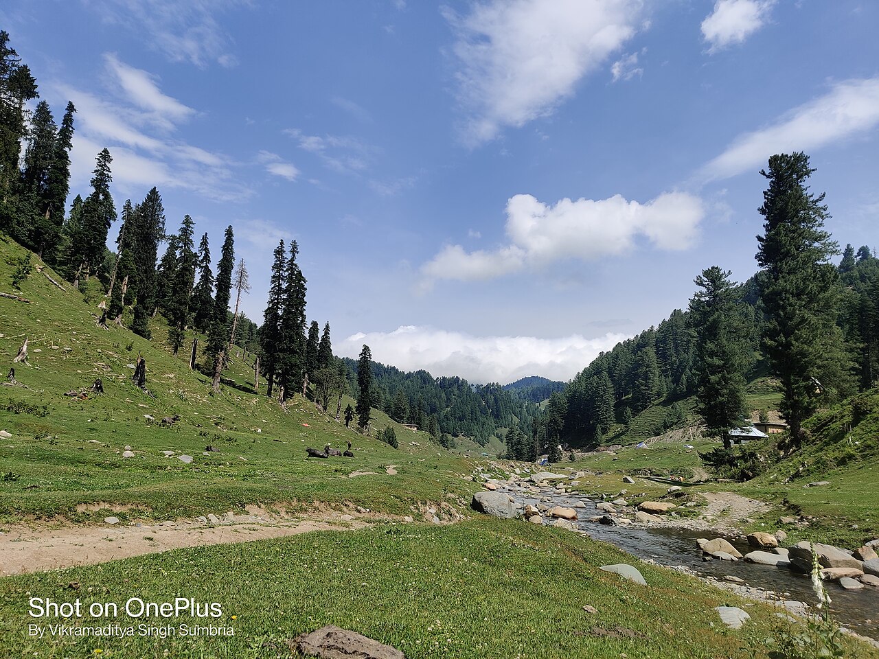
The green folds of the Chenab region offer a wilder, quieter alternative to the northern plains.Photo: Sumbria.vikramaditya · CC BY-SA 4.0
The first time I told a Srinagar taxi driver I was heading south to Bhaderwah instead of north to Gulmarg, he raised an eyebrow and asked if I missed my family. Most travellers think of Jammu merely as the dusty transit corridor you drive through to reach the legendary meadows of the north. They pay little attention to the massive folded ranges rising to the east of the Chenab river.
Pinning down the exact bhaderwah location on a map places it in the Doda district of Jammu, tucked right against the Himachal border. It sits entirely outside the Kashmir administrative division, which surprises many visitors who expect every high-altitude pine valley in the state to share the same culture and climate. If you are weighing a holiday to the Chenab region against a standard week in Srinagar and Pahalgam, the differences go far beyond mere geography.
We run tours into both areas throughout the year, and the choice usually comes down to crowd tolerance and driving preferences. Kashmir offers grand, sweeping valleys and world-class tourist infrastructure. Bhaderwah offers wilder, steeper terrain, fewer tour buses, and a quieter mountain rhythm that feels closer to the Himachal of twenty years ago.
Understanding the geography of Jammu and the Chenab region
Geography dictates everything here. While Kashmir is essentially a large, elevated oval bowl surrounded by high peaks, Jammu is a maze of jagged ridges, deep river gorges, and terraced hillsides that drop sharply toward the Punjab plains. Bhaderwah sits at roughly 1,613 metres, cupped inside a smaller valley known locally as Chamba Gali.
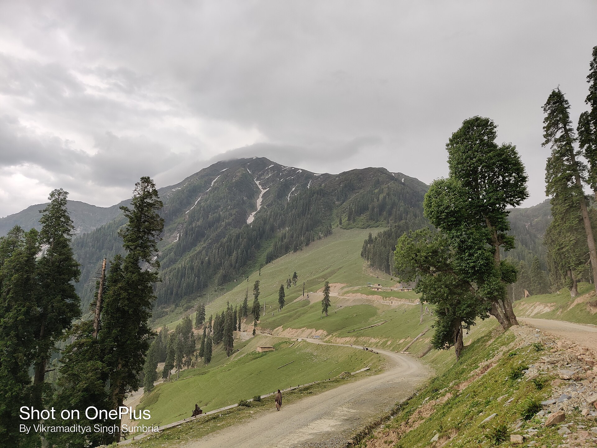
When clients ask us about the bhaderwah location, they are usually picturing a remote Himalayan outpost. In reality, it is accessible via Batote on the Jammu-Srinagar highway, though the drive requires patience. The mountains here feel rawer. You do not have wide tarmac lanes lined with poplar avenues; you have narrow roads clinging to slate cliffs above roaring tributaries.
This topography creates microclimates that shift every few kilometres. You can leave a sun-baked afternoon in Batote and find yourself driving through thick cloud cover and mist as you cross the Assar ridge toward the Neeru river valley.
- Jammu division covers the southern slopes of the Pir Panjal range.
- Bhaderwah is situated in the Doda district near the Himachal Pradesh border.
- Elevations range from 1,500 metres in the valley floor to over 4,000 metres on surrounding peaks.
- The main drainage system for the area is the Chenab river basin.
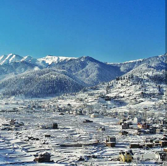
Key differences in landscape and daily travel experience
The visual language of Kashmir is defined by Dal Lake, sprawling chinar trees, and the flat-bottomed meadows of Pahalgam and Sonmarg. You spend a lot of time walking on level ground or gentle inclines, surrounded by weeping willows and saffron fields.
In contrast, travelling through Bhaderwah means constant verticality. The meadows, known locally as dhainis like Padri and Jai, sit high above the town and require steep drives up unpaved tracks. The forests are dominated by dense deodar and fir trees that block out the midday sun, creating damp, fern-rich floors.
On a practical level, this means your daily pace in Jammu's mountains is slower. You do not just step out of a hotel onto a manicured tourist path. You hire local utility vehicles to navigate farm tracks, or you lace up sturdy boots for steep climbs through shepherd trails.
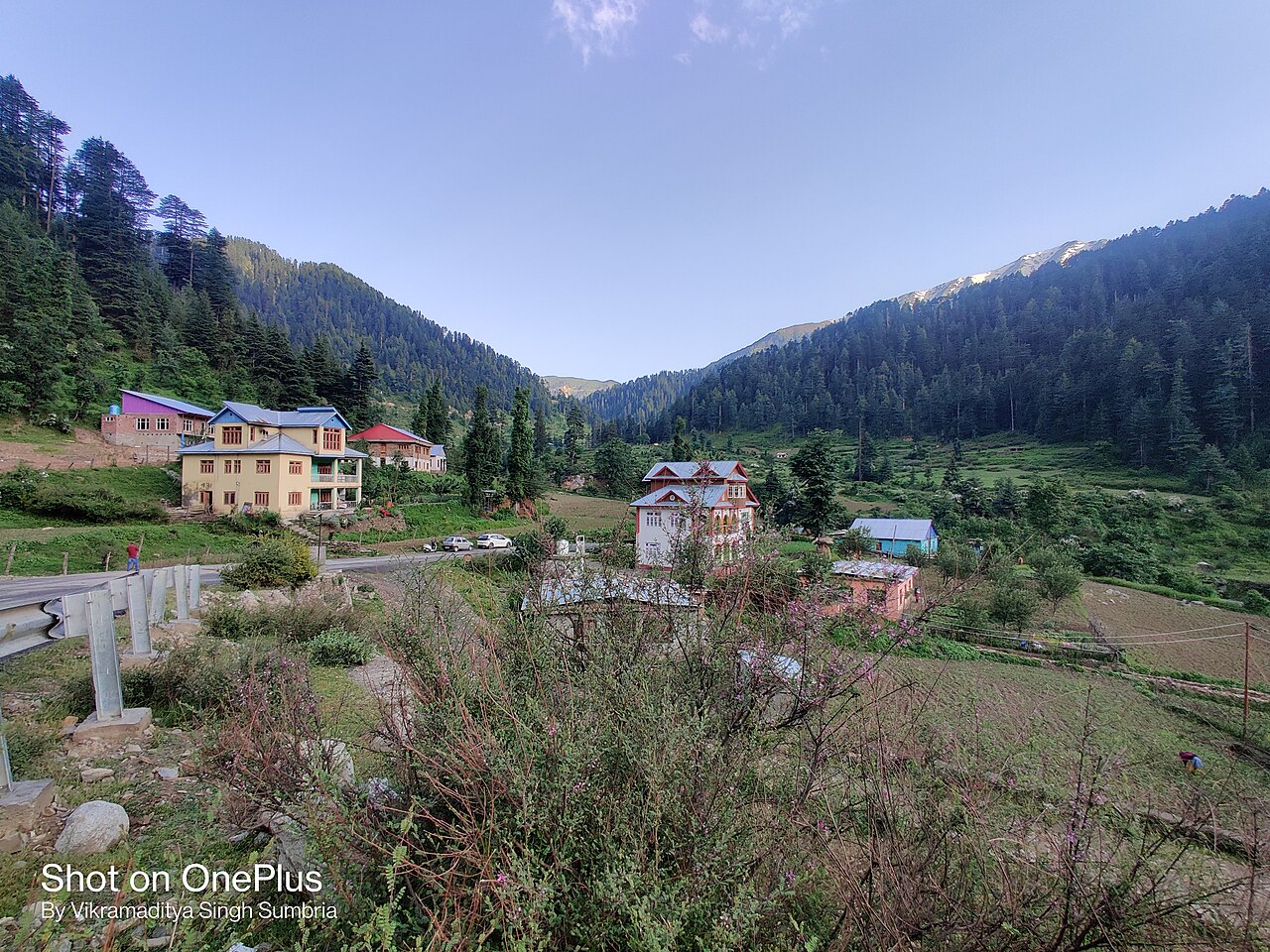
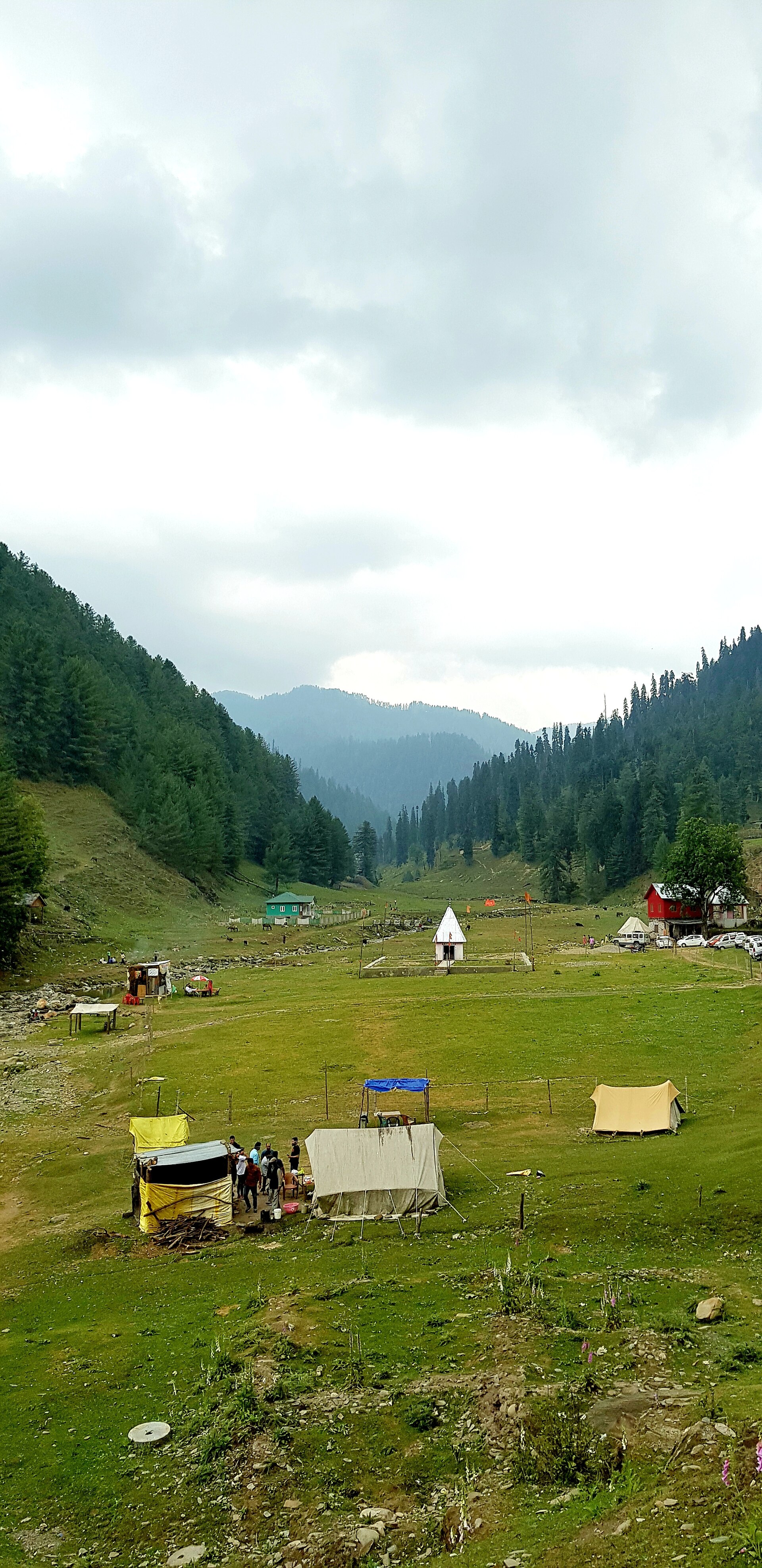
Pinning down the exact bhaderwah location places it in the Doda district of Jammu, tucked right against the Himachal border.
Why choose an offbeat path in Jammu
The primary reason to pick Bhaderwah over a classic Kashmir itinerary is the absence of commercial mass tourism. In July, the main meadows of Gulmarg can feel like a busy suburban park, complete with horse manure, plastic wrappers, and competing loudspeaker announcements.
In Bhaderwah, places like Seoj Meadow or Ashapati glacier feel genuinely wild. You are more likely to share a morning view with local shepherds moving their flocks than with a convoy of tour buses from Delhi. The local Rajma beans and cornbread served at roadside dhabas have not been modified for tourist palates.
That said, offbeat travel comes with trade-offs. You will not find luxury houseboats or five-star resort chains here. Accommodation consists of clean mid-range hotels, government rest houses, and traditional homestays where you will trade luxury amenities for genuine local hospitality.
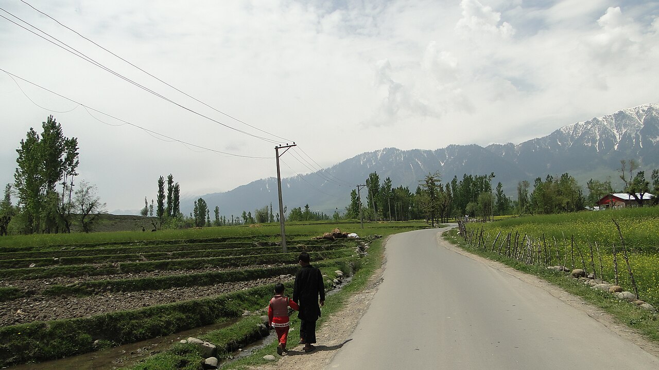
Accessibility, road conditions, and travel logistics
Getting to Kashmir usually involves flying straight into Srinagar airport, grabbing a prepaid taxi, and starting your holiday within the hour. The highway from Jammu to Srinagar, while improving with new tunnels, can still be a grueling six-to-eight-hour test of nerves.
Reaching Bhaderwah requires a drive from Jammu city that takes roughly five to six hours, covering about 175 kilometres via Patnitop and Batote. The road is scenic, winding past the Chenab, but it is prone to delays from heavy truck traffic.
If you prefer minimal time spent inside a car, Kashmir wins easily. If you treat the winding mountain roads as part of the adventure rather than an obstacle, the drive into the Chenab valley is half the reward.
Driving from Jammu versus flying to Srinagar
Flying into Srinagar bypasses the lower Jammu foothills entirely, dropping you straight into the valley floor. Driving from Jammu gives you a gradual, scenic transition from the plains up through the middle mountains.
Road quality across the Chenab route
Expect mixed road surfaces. Main arterial highways are well-paved, but rural connectors to high-altitude meadows are frequently rough gravel tracks best handled by experienced local drivers.
Combining both regions in one extended mountain journey
You do not actually have to choose one to the complete exclusion of the other if you have ten days or more to spare. We frequently design cross-regional itineraries for clients who want to see both sides of the Pir Panjal range.
A classic route starts in Jammu, moves up through Patnitop and Sanasar, cuts across to Bhaderwah, and then loops northward over high passes like Sinthan Top to descend into the Anantnag district of Kashmir. This eliminates backtracking and gives you a complete cross-section of the union territory's diverse landscapes.
The high-altitude pass crossings, however, are strictly seasonal. You can only drive the Sinthan Top route between late spring and early autumn when the snow has been cleared from the summit.
Before you book
Choosing between these two mountain regions depends entirely on the kind of traveller you are. If you want manicured lawns, historic houseboats, and effortless holiday comfort, head straight for the classic towns of the northern valley.
If you prefer winding gravel tracks, quiet pine forests, and a destination that feels untouched by mass tourism, take the southern road into the Chenab hills. Either way, the mountains will leave their mark long after you return home.
Let us help you map out your route
Whether you want to explore the quiet trails of Jammu or plan a cross-regional trip up to Srinagar, our local team can arrange reliable transport and honest lodging recommendations.
Talk with our local plannersCaption for your own post
Pine forests, winding mountain roads, and quiet meadows. Here is why you should look past the usual tourist trails and head south into Bhaderwah.
Written by
Kashmir, Jammu & Ladakh specialists
We plan and run trips across Kashmir, Jammu and Ladakh every week of the year. Everything here comes from routes we drive, stays we inspect and questions our travellers actually ask.
Written after countless road trips across the Pir Panjal range, testing every pothole between Jammu and Srinagar.
Quick answers
Questions we get asked
Is Bhaderwah safe for family holiday travel?
Yes, Bhaderwah is entirely safe for families. Local tourism has grown steadily over the last decade, and the region enjoys a peaceful atmosphere with warm, welcoming local communities.
How many days do I need for a proper trip to Bhaderwah?
Plan for at least three to four days to properly explore the town, drive up to Padri and Jai meadows, and experience the local food without rushing.
Can I visit Bhaderwah during the winter snow season?
Yes, the town and nearby areas like Jai receive heavy snowfall from December to February, making it a great alternative to crowded ski resorts for winter snow play.
What is the best way to reach Bhaderwah from Jammu?
The most reliable method is hiring a private cab from Jammu railway station or airport. The journey takes around five hours via Patnitop and Batote.
Photography credits
- Photo: Sumbria.vikramaditya · CC BY-SA 4.0
- Photo: Pranav.jain25 · CC BY-SA 4.0
- Photo: The Chenab Times · CC BY-SA 4.0
- Photo: Sumbria.vikramaditya · CC BY-SA 4.0
- Photo: Ankur P from Pune, India · CC BY-SA 2.0
- Photo: Sumbria.vikramaditya · CC BY-SA 4.0
- Photo: EcoSikh · CC BY 2.0