How Far Is Nathatop from Patnitop?
Everything you need to know about reaching the peak
Curious about the distance between Nathatop and Patnitop? This guide covers the journey, altitude facts, and how to make the most of your visit to the ridge.
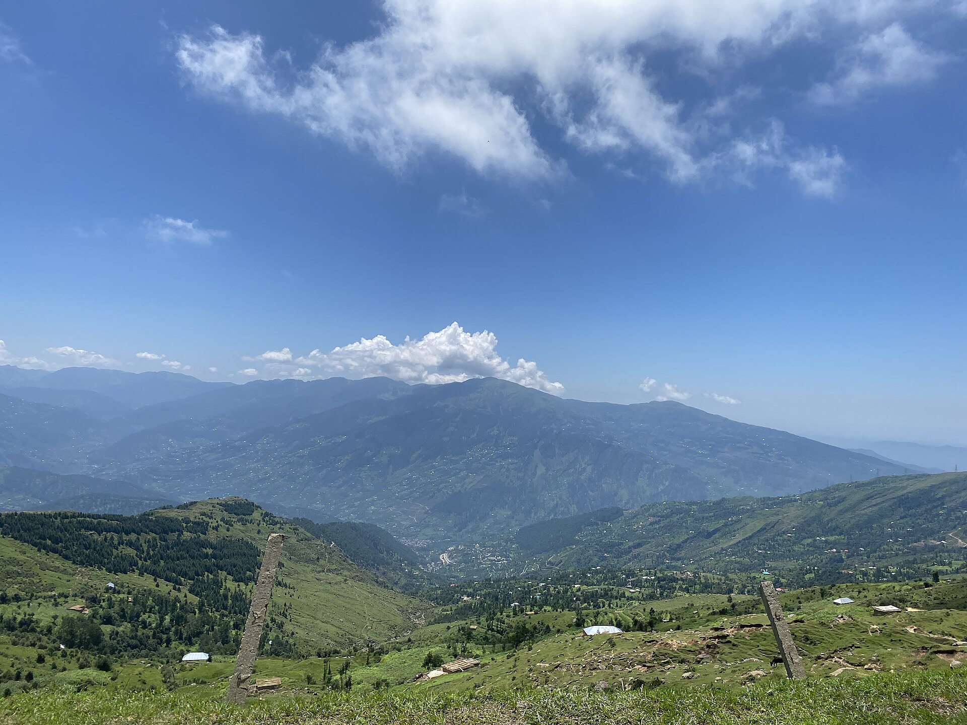
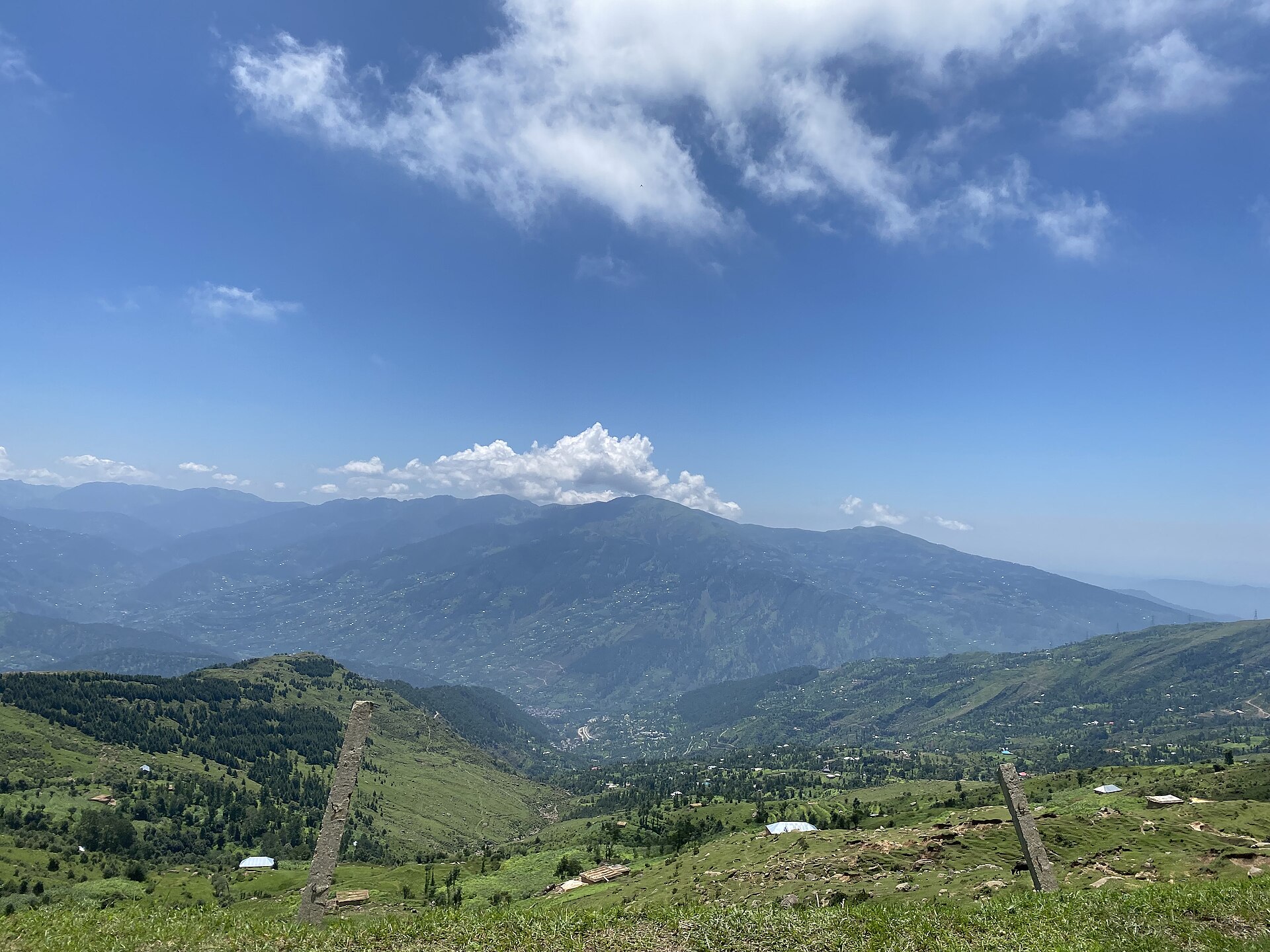
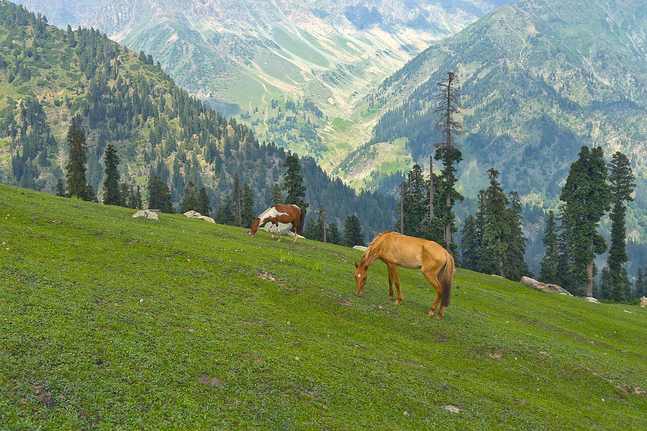
Nathatop offers one of the best perspectives on the distant Pir Panjal range.Photo: Megaurab09 · CC BY-SA 4.0
When you stand in the centre of Patnitop, the air feels crisp and the trees are tall, but the real scale of the mountains only becomes clear once you move upward toward Nathatop. The journey is short, yet the transformation in the landscape is immense.
People often ask me about the distance between the two, expecting a long excursion. In reality, the distance from Nathatop to Patnitop is roughly 12 to 14 kilometres, a short drive that completely changes your perspective on the valley.
Understanding the Geography
Nathatop is the high-altitude ridge that looms above the Patnitop plateau. It sits at an elevation of approximately 2,700 metres. Because of this, it serves as a natural viewpoint looking down over the Chenab River basin.
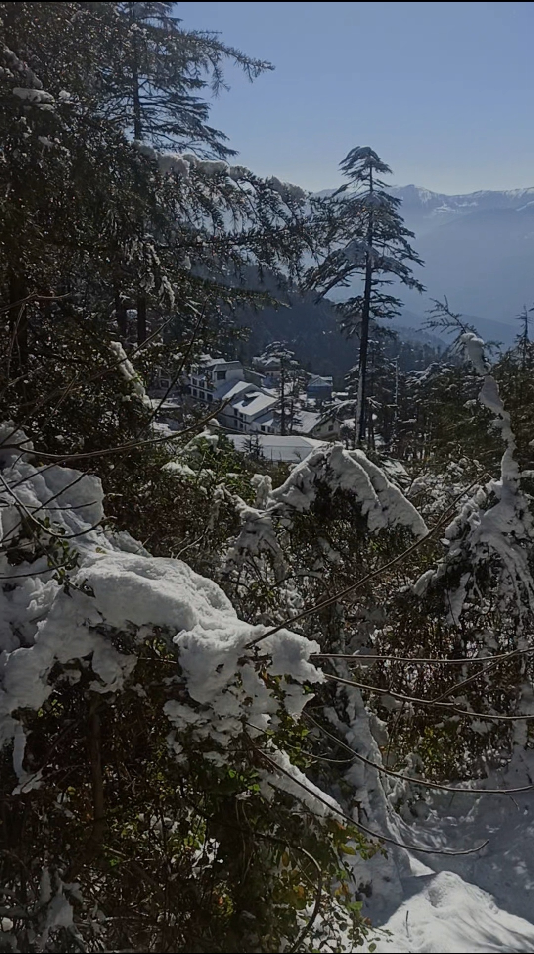
Unlike the bustling centre of Patnitop, which is largely forest-lined, Nathatop is an open, grassy meadow—or a frozen expanse in winter. It acts as the gateway to even more remote areas, but for most, it remains the ultimate destination for a day trip.
Why Nathatop Stands Out
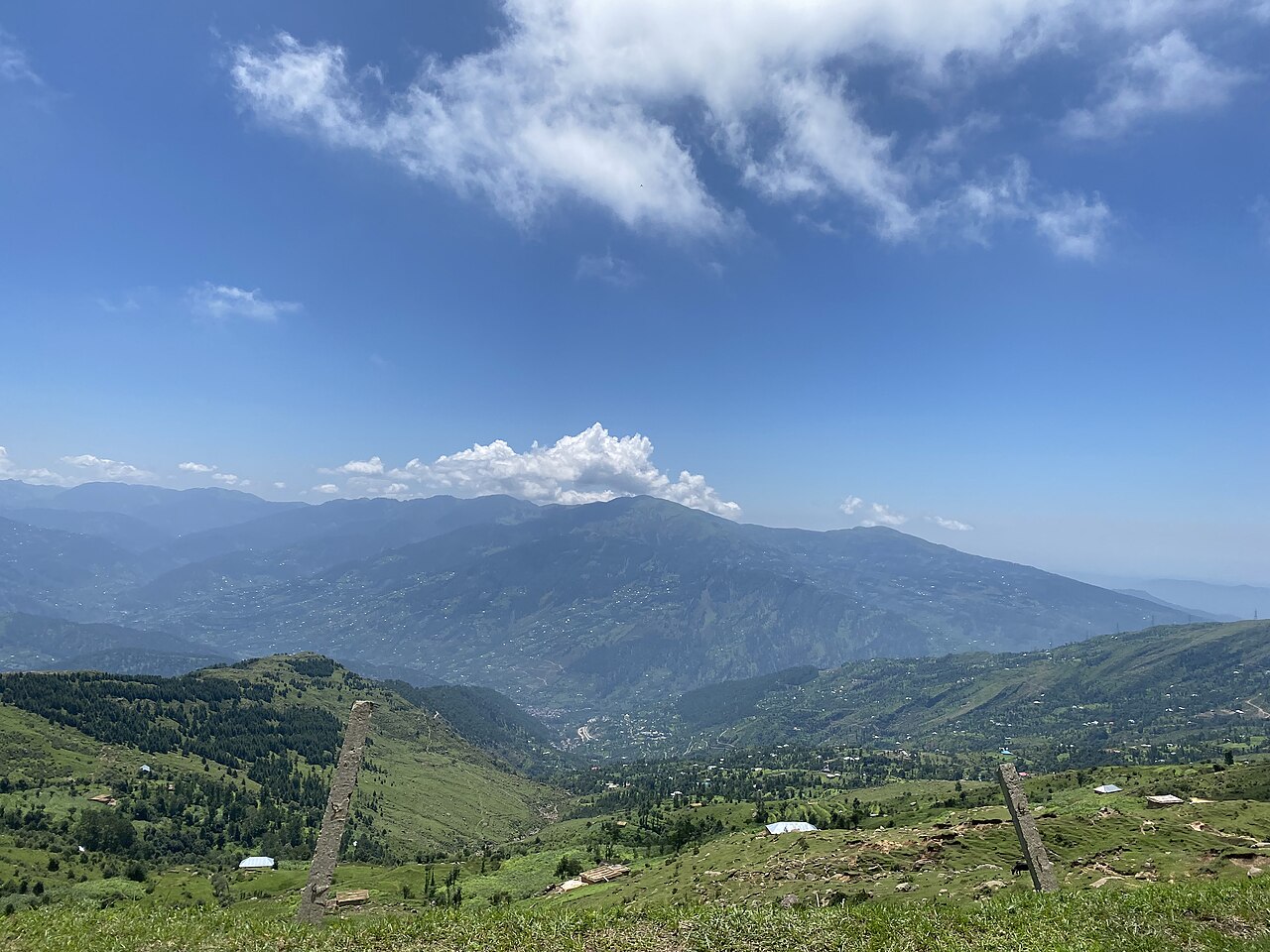
The primary reason people make the climb is the panoramic horizon. From the ridge, you get an uninterrupted view of the Pir Panjal range. On a clear day, the snow-capped peaks seem close enough to touch.
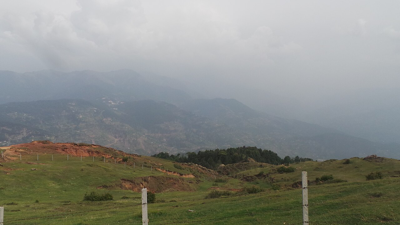
It is significantly colder at this height. Even in mid-summer, you will feel the difference in the breeze. If you are tired of the crowds in the lower parks, the quiet stretches of the ridge offer a better sense of isolation.
Reaching the Peak
The drive takes about 30 to 45 minutes, depending on the speed of the local taxis. The road is narrow and winds continuously as you gain altitude. It is not a place for high-speed travel; it is a place to enjoy the climb.
Most visitors choose to hire a local cab from Patnitop. If you are feeling adventurous and the weather is pleasant, some locals hike parts of the route, but the main ridge is best reached by vehicle due to the sheer incline.
Best Time of Day to Visit
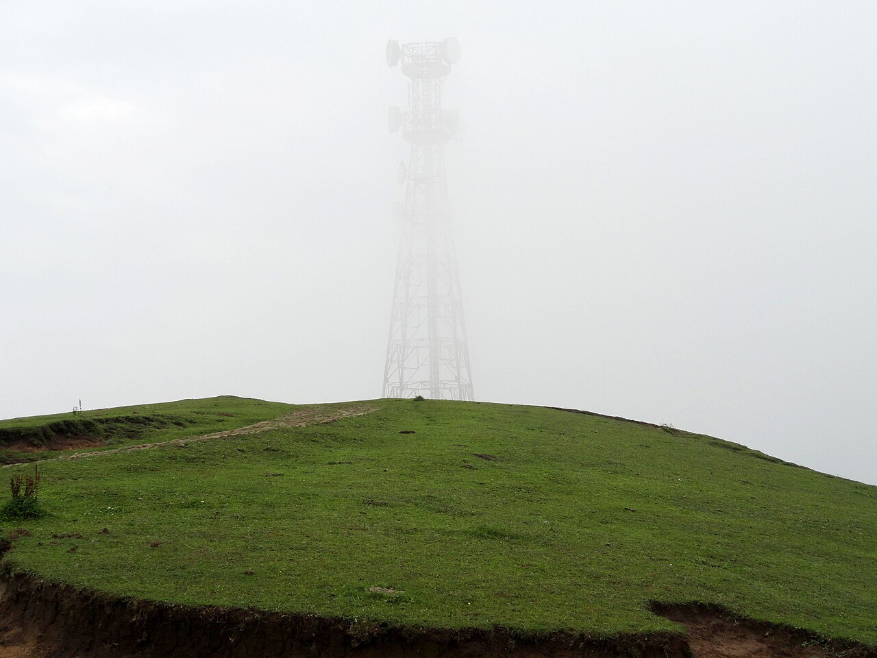
Aim to be at the ridge by 10:00 AM. The morning light hits the valley perfectly, and the air is at its clearest. By mid-afternoon, mountain mist often starts to roll over the ridge, which, while moody and beautiful, can obscure the long-distance views.
If you stay until sunset, you will be rewarded with a spectacular play of colours across the peaks. Just remember that the temperature drops sharply the moment the sun dips below the horizon, so have your jackets ready.
Linking Nathatop with Local Sights
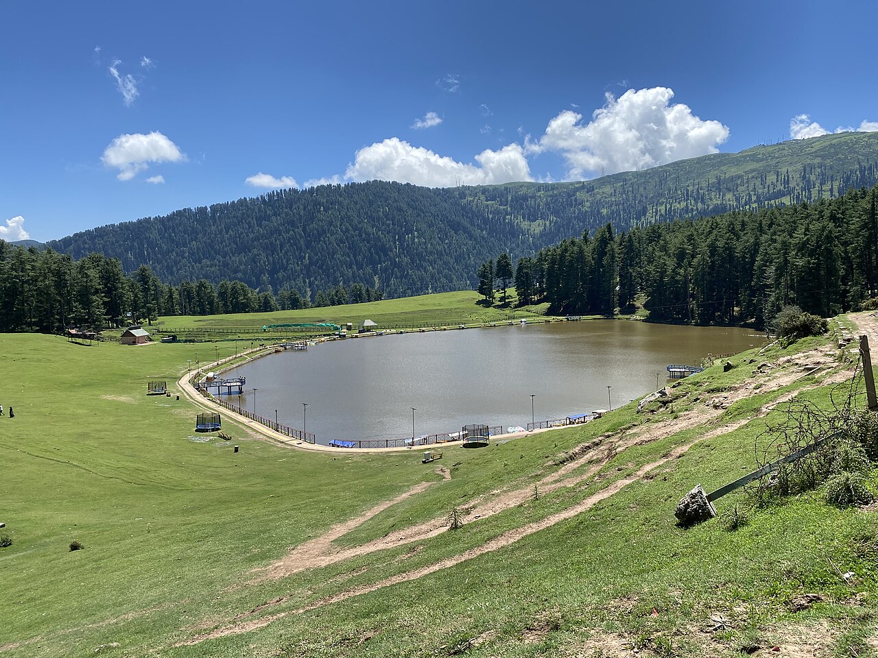
You cannot talk about Nathatop without mentioning Sanasar. Many visitors combine their trip to the ridge with a drive further on to the meadow at Sanasar. It creates a perfect loop.
You can head up to Nathatop in the morning, stop for photos, continue to Sanasar for lunch, and then head back down to Patnitop by evening. It turns a quick trip into a full, satisfying day of exploration.
Before you book
Nathatop is more than just a viewpoint; it is the vantage point that lets you see the true scale of the Jammu mountains. It sits just close enough to be easily reachable from Patnitop, yet high enough to feel like a different world.
If you find yourself in the area, make the drive. The sight of the distant peaks from the ridge is the reason people return to these mountains time after time. If you need help arranging your transport, feel free to contact our office.
Ready to see the view from the top?
We help travellers arrange seamless day trips from Patnitop to Nathatop and beyond. Let us make your mountain exploration effortless.
Get in TouchWritten by
Kashmir, Jammu & Ladakh specialists
We plan and run trips across Kashmir, Jammu and Ladakh every week of the year. Everything here comes from routes we drive, stays we inspect and questions our travellers actually ask.
Quick answers
Questions we get asked
How far is Nathatop from Patnitop?
Nathatop is about 12 to 14 kilometres from the centre of Patnitop. It is a short, scenic drive that takes roughly 40 minutes.
Is Nathatop the same as Patnitop?
No. Patnitop is the main tourist hub and plateau, while Nathatop is the higher ridge above it. They are connected by a winding mountain road.
How high is Nathatop from sea level?
Nathatop stands at an elevation of approximately 2,700 metres, making it one of the highest accessible viewpoints in the immediate vicinity.
Can I walk from Patnitop to Nathatop?
While it is technically possible to walk, it is a strenuous uphill trek. Most visitors prefer to take a taxi to conserve energy for exploring the ridge.
Are there restaurants at Nathatop?
There are small, seasonal stalls selling tea and snacks, but for a proper meal, it is better to plan your lunch in Patnitop or Sanasar.
Photography credits
- Photo: Megaurab09 · CC BY-SA 4.0
- Photo: Annihyung · CC0
- Photo: UnpetitproleX · CC BY 4.0
- Photo: Inci0209 · CC BY-SA 4.0
- Photo: Rupali Kushwaha · CC BY 4.0
- Photo: Hiteshpaarth · CC BY-SA 3.0
- Photo: Rupali Kushwaha · CC BY 4.0