Where is Leh Located in India?
Understanding the high-altitude desert nestled within the Indus Valley.
Curious about where Leh is located in India? This guide explores the geography, climate, and significance of this unique high-altitude desert.
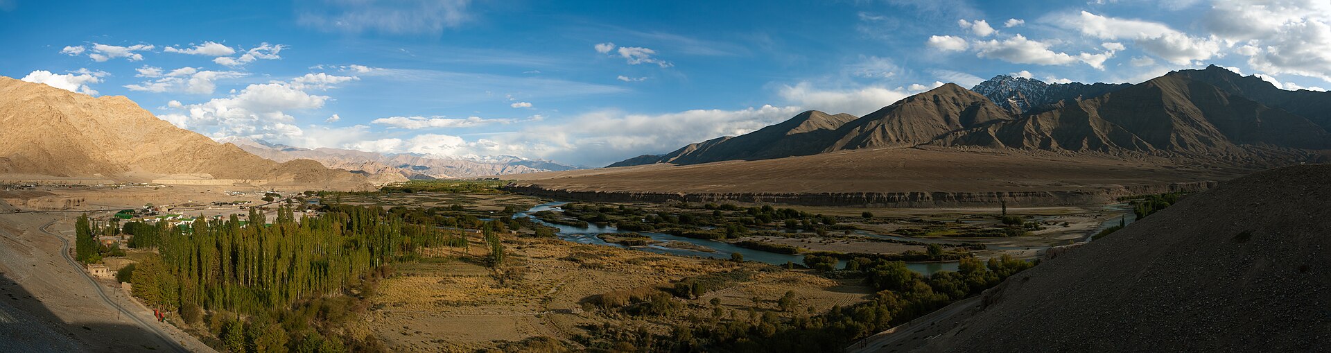
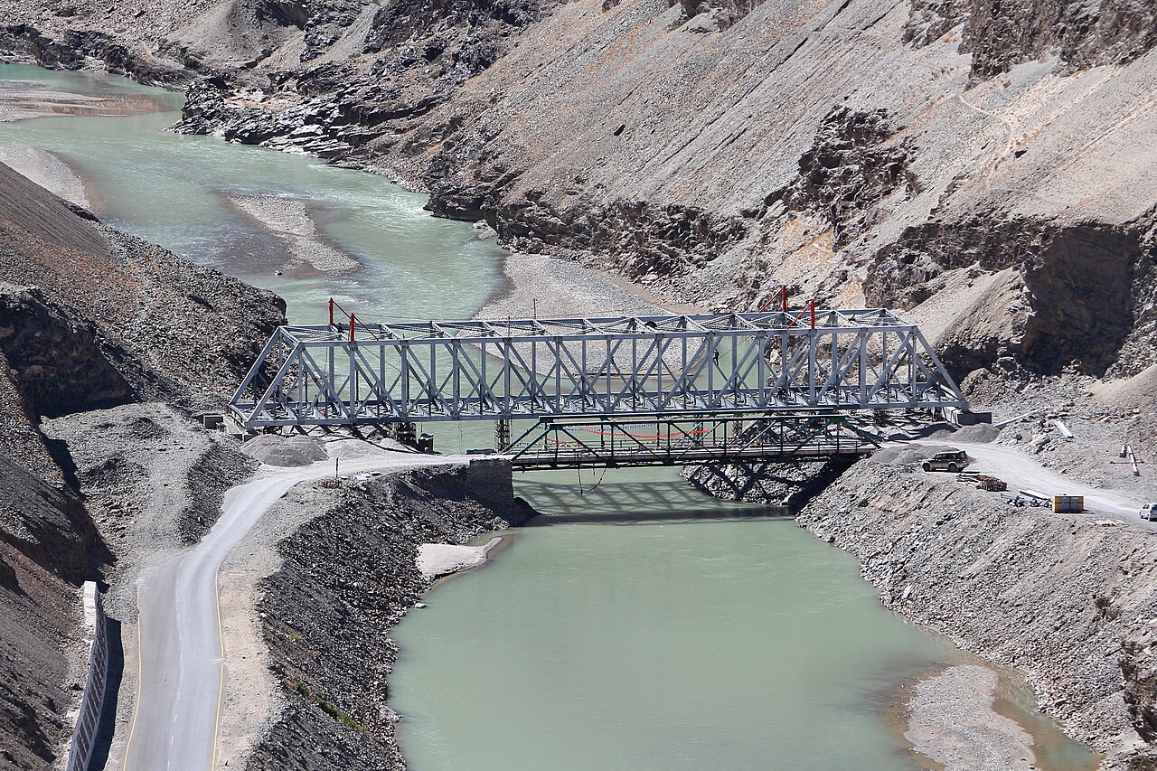
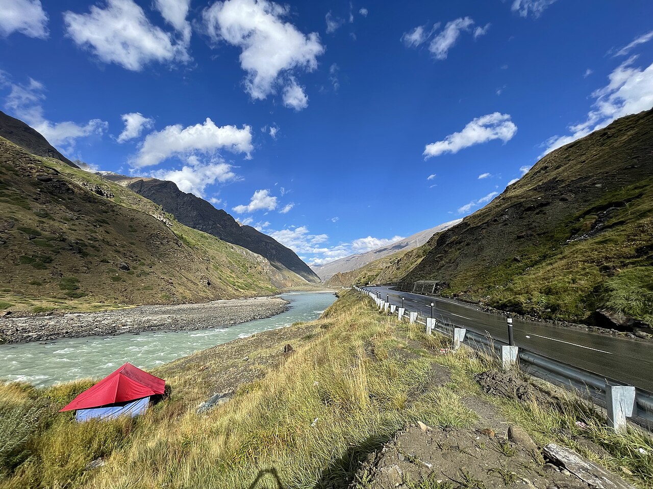
The Indus River is the lifeblood of the high-altitude landscape of Ladakh.Photo: KennyOMG · CC BY-SA 3.0
When people ask me exactly where is Leh located in India, I often point them toward a map of the far northern territories, specifically the union territory of Ladakh. It sits perched at an altitude of over 3,500 metres, tucked away between the mighty Karakoram range to the north and the Himalayas to the south.
Its isolation is not just a geographical feature; it is its defining characteristic. Leh serves as the historic and administrative centre of the region, anchored firmly in the valley of the Indus River. Understanding this location is the key to understanding why the region looks, feels, and breathes differently from the rest of India.
Leh in the Context of the Himalayas
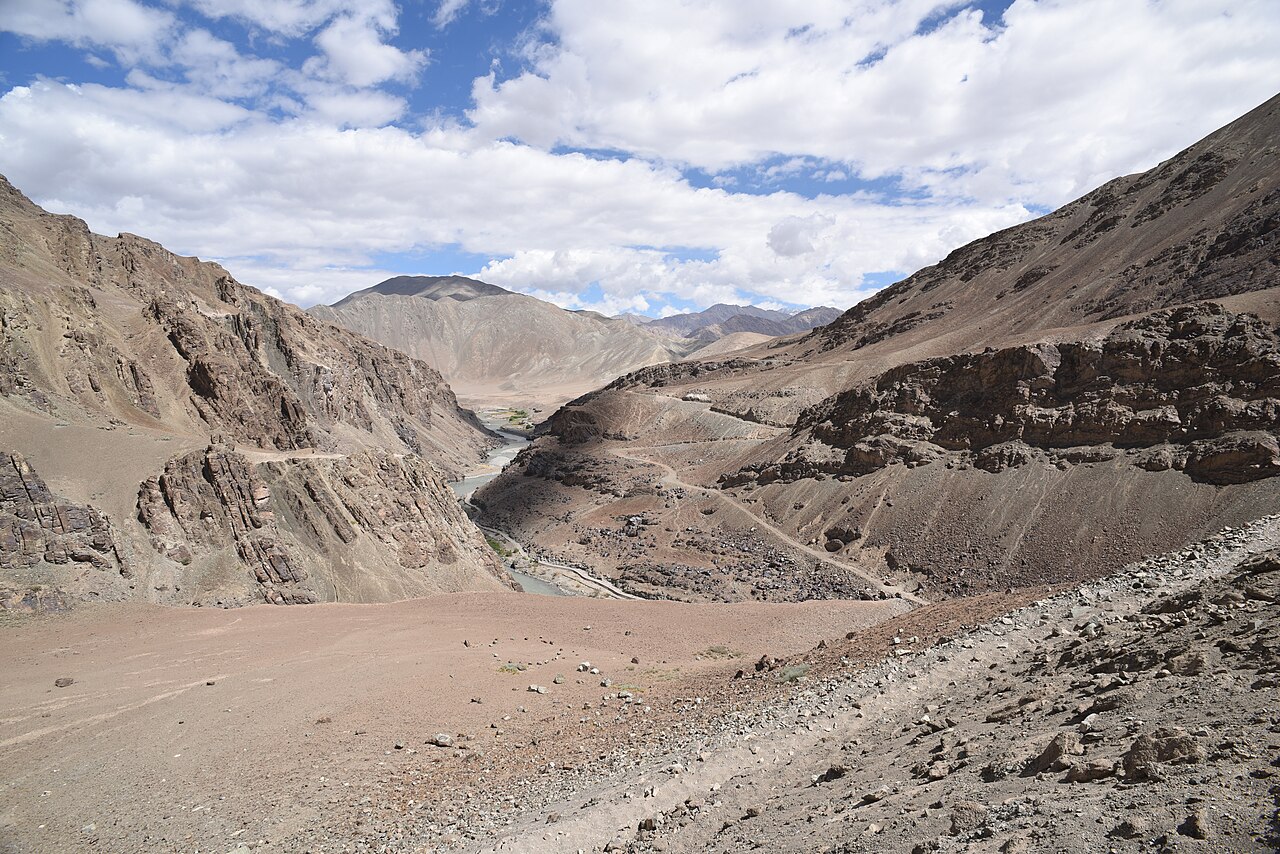
Leh sits in a rain-shadow area. While the southern side of the Himalayas receives the brunt of the monsoon, the clouds are stripped of their moisture before they reach this high-altitude desert. This is why Leh is arid. You aren't in a lush alpine forest; you are in a landscape that has been carved by wind and extreme temperature fluctuations over millions of years.
The geography here is dramatic. The mountains surrounding Leh are stark, mostly devoid of trees, and rich in mineral colours—purples, greys, and deep browns. This is the 'Trans-Himalayan' zone, a high-altitude plateau that acts as a bridge between the Indian subcontinent and the Tibetan plateau.
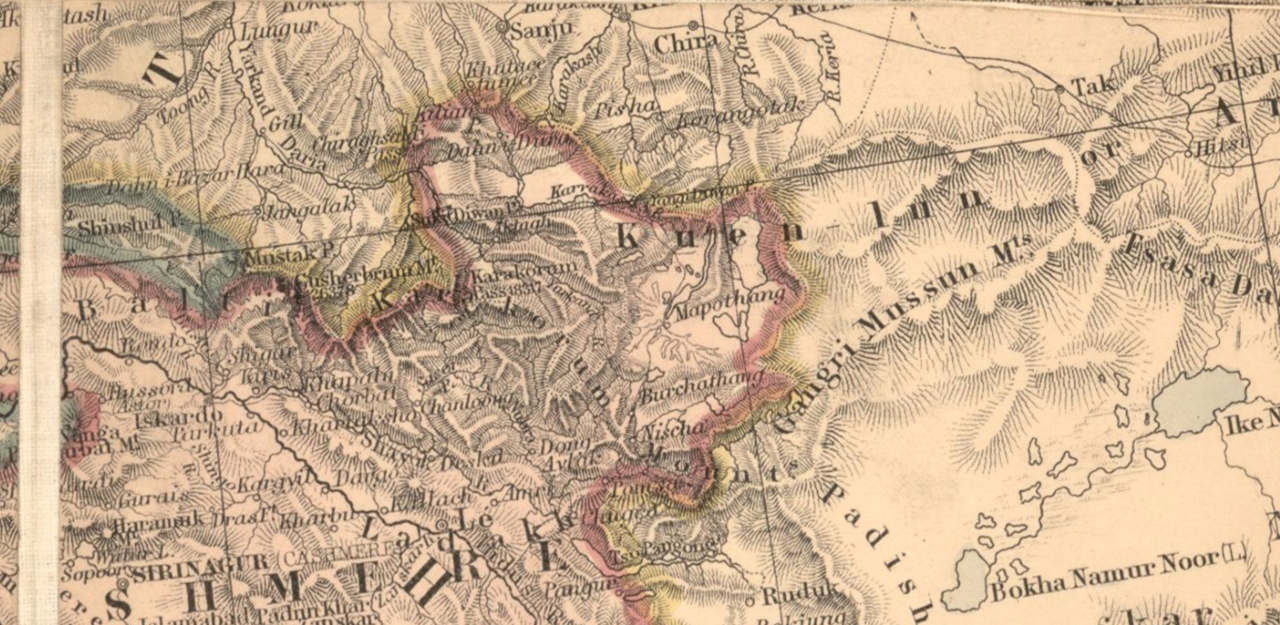
The Indus Valley Location
The town of Leh is built on the banks of the Indus River. Historically, this river was the lifeline of the Silk Road trade, connecting Central Asia with the plains of India. Even today, the river dictates the settlement patterns. Most of the fertile land in the area is found along the riverbanks, where glacial meltwater creates small, verdant pockets in an otherwise stark valley.
Standing by the river near sites like Thiksey, you can see how vital the water is. The village clusters are all located where irrigation is possible. It’s a delicate balance of life, entirely dependent on the flow of the Indus and the seasonal melt of the high glaciers.
Proximity to Other Key Regional Hubs
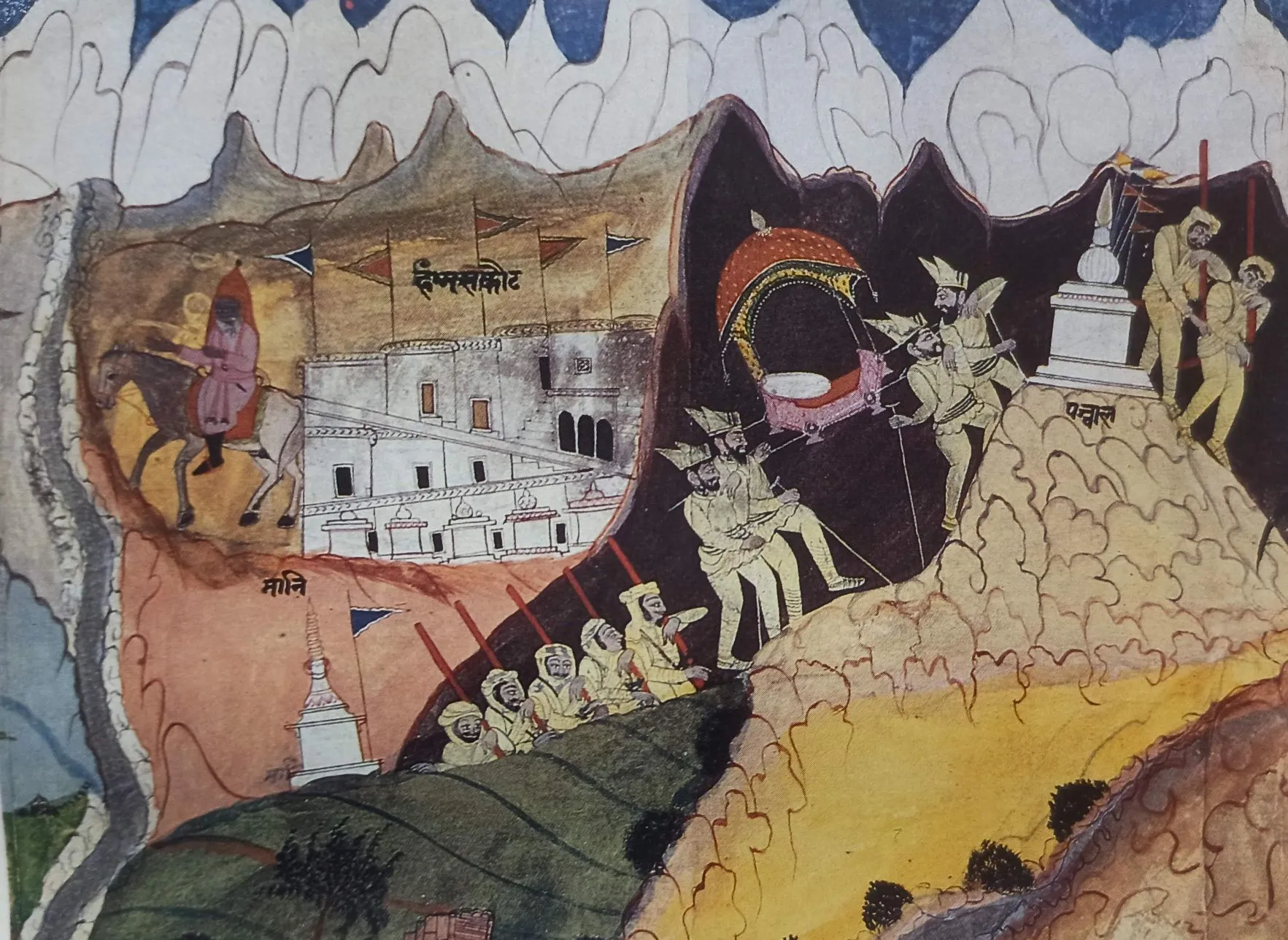
Leh is the central hub for the entire region. From here, you are only a few hours away from the high mountain passes like Khardung La. To the east, the road leads toward the high-altitude lakes, while to the south, the route eventually winds back toward the plains via Srinagar or Manali.
Most visitors start their journey here to acclimatise before heading out to Hemis Monastery or the deeper valleys of Nubra and Zanskar. It is the beating heart of Ladakh, the only place where the infrastructure—from the airport to the medical facilities—is concentrated enough to support large-scale travel.
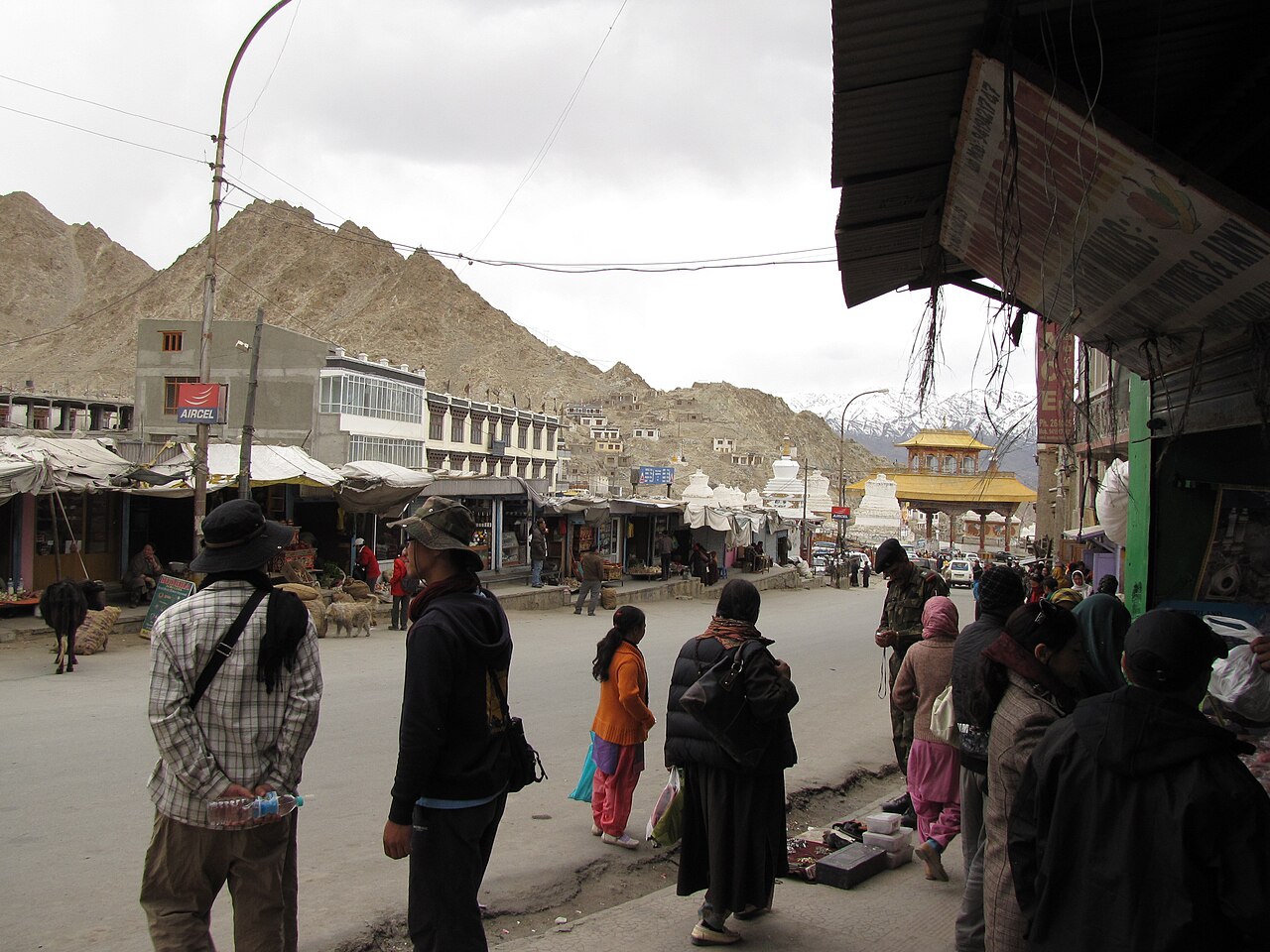
Understanding the High-Desert Landscape
Because Leh is a high-altitude desert, it experiences extreme shifts in daily temperature. The air is thin, meaning it doesn't hold heat during the day and it doesn't retain it at night. In summer, you can feel the sun burning your skin at noon, only to find yourself shivering in a sweater as soon as the sun disappears behind a ridge.
This is not a landscape of gentle rolling hills. It is jagged, vertical, and immense. The geography forces you to travel slowly. A distance of 100 kilometres here can take four hours or more depending on the road conditions, simply because you are navigating a terrain that is constantly rising and falling.
Why its Location Defines its Climate
The climate of Leh is entirely dictated by its location behind the Himalayan wall. It is essentially a cold, dry environment. In the winter, the temperature stays below zero for weeks. In the summer, it is comfortable, almost brisk. If you are looking for tropical warmth, you are in the wrong place.
This climate is exactly what has preserved the cultural heritage of the region. The cold, dry air has kept the ancient manuscripts and the architecture of the monasteries in pristine condition for centuries. It is a harsh climate, but it is also a protective one.
Before you book
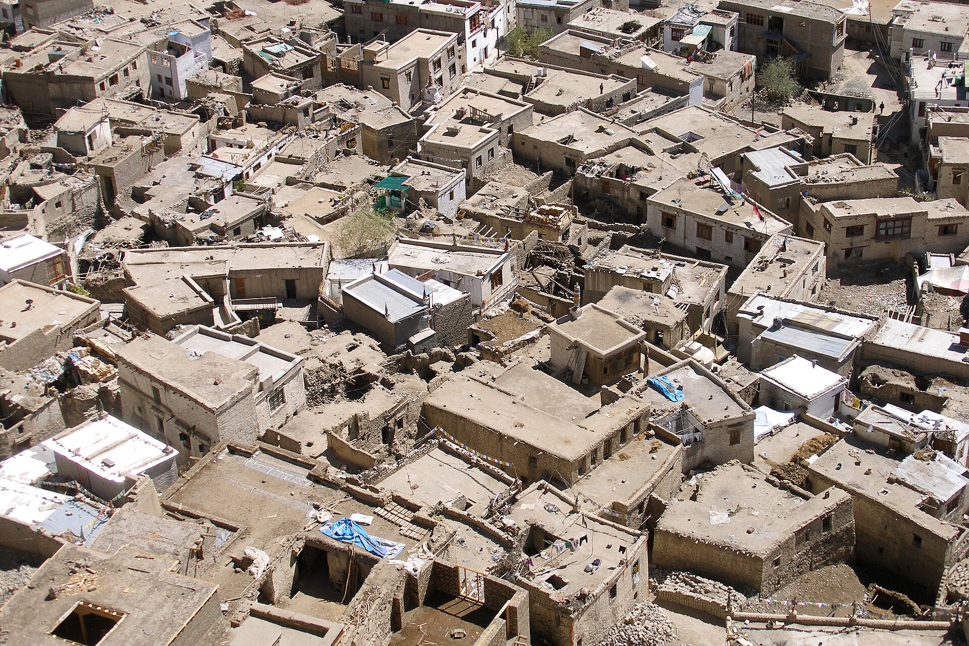
Leh is not just a dot on a map; it is a profound testament to how life thrives in extreme conditions. Its geography shapes everything—the way the houses are built, the way the local economy functions, and the way you, as a visitor, experience the silence of the mountains.
If you ever find yourself looking at a map and wondering where to go, look north. Look for the high valley of the Indus, and you will find a place that changes your perspective on the scale of the world.
Ready to explore the high desert?
If you are struggling to map out your route through the Indus Valley, we can help you design an itinerary that respects the terrain and your own pace.
Contact UsWritten by
Kashmir, Jammu & Ladakh specialists
We plan and run trips across Kashmir, Jammu and Ladakh every week of the year. Everything here comes from routes we drive, stays we inspect and questions our travellers actually ask.
Quick answers
Questions we get asked
Is Leh part of Jammu and Kashmir?
Since 2019, Ladakh, including the Leh district, is a separate Union Territory of India, distinct from Jammu and Kashmir.
What is the best way to get to Leh?
The most efficient way to reach Leh is by a direct flight from Delhi, which lands at the Kushok Bakula Rimpochee Airport.
Does the geography make travel difficult?
The rugged terrain and high altitudes make travel slower and require careful planning and acclimatisation, but it is part of the unique experience.
Is Leh considered part of the Himalayas?
It is in the Trans-Himalayan region, situated between the main Himalayan range and the Karakoram range.
How long does it take to see the region?
A standard trip usually spans 7 to 10 days to allow for proper acclimatisation and to explore the main sites in the Indus Valley.
Photography credits
- Photo: KennyOMG · CC BY-SA 3.0
- Photo: possibly Ganga Ram 'Nakashi' (alt. spelt as Ganga Ram 'Naqqashi') · Public domain
- Photo: Edward Stanford Ltd., established in 1853 by Edward Stanford (1827–1904),Stanford's Geographical Establishment, London. · Public domain
- Photo: Bernard Gagnon · CC BY-SA 4.0
- Photo: Christopher John SSF from Stroud, NSW, Australia · CC BY 2.0
- Photo: Tanvi.sharmaaa · CC BY-SA 4.0
- Photo: Chris Hunkeler from Carlsbad, California, USA · CC BY-SA 2.0