Where is Patnitop: Jammu or Kashmir?
Understanding the geographical divide of this mountain station
When planning your trip to the hills, you might wonder where is Patnitop Jammu or Kashmir. We break down the regional differences to help you navigate your journey.
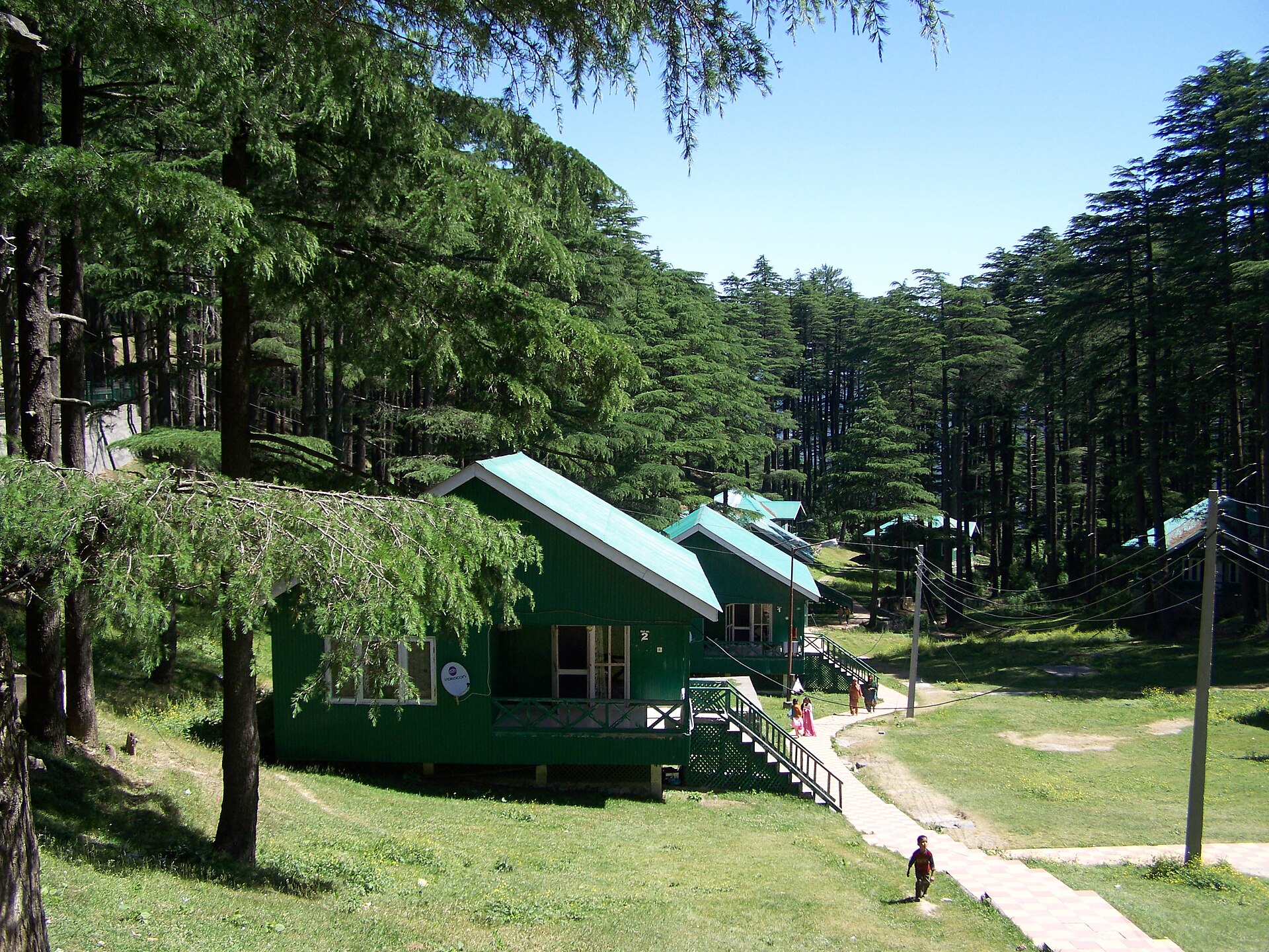
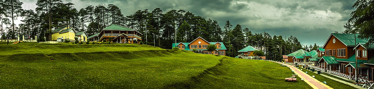
The early morning light on the meadows of Patnitop.Photo: Jammu Tales · CC BY-SA 4.0
The confusion usually starts at the taxi stand. You have your bags packed for the cool air, and someone mentions the Kashmir Valley, while someone else points toward the Chenani-Nashri Tunnel.
If you are staring at a map asking where is Patnitop Jammu or Kashmir, the short answer is that Patnitop sits firmly in the Jammu province. It is not part of the Kashmir Valley, though it serves as a common threshold for travellers moving between the two regions.
As a local operator, we often see guests arrive in Jammu expecting the Srinagar landscape, only to find the rugged, forest-heavy slopes of the Shivalik range. Both regions hold their own, but they feel like entirely different worlds.
Clarifying the Geography: Jammu vs Kashmir
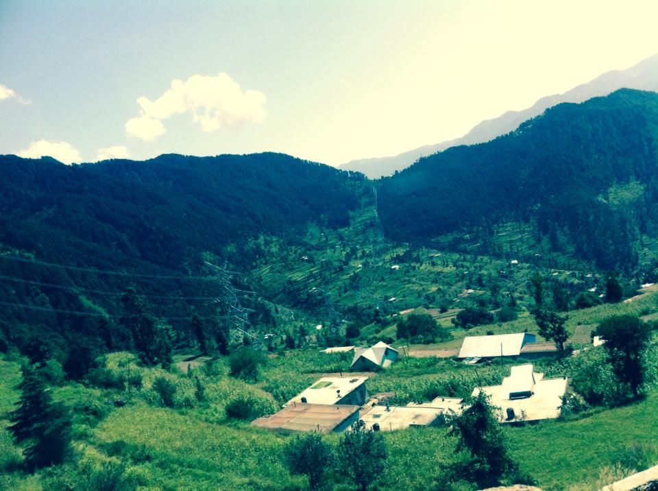
Jammu is the southern gateway. It is warmer, lower in elevation, and defined by the foothills of the Himalayas. Patnitop is perched at roughly 2,024 metres, marking the transition into the more dramatic, snowy peaks of the north.
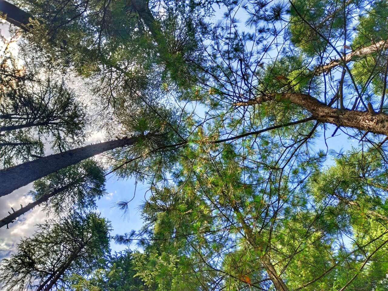
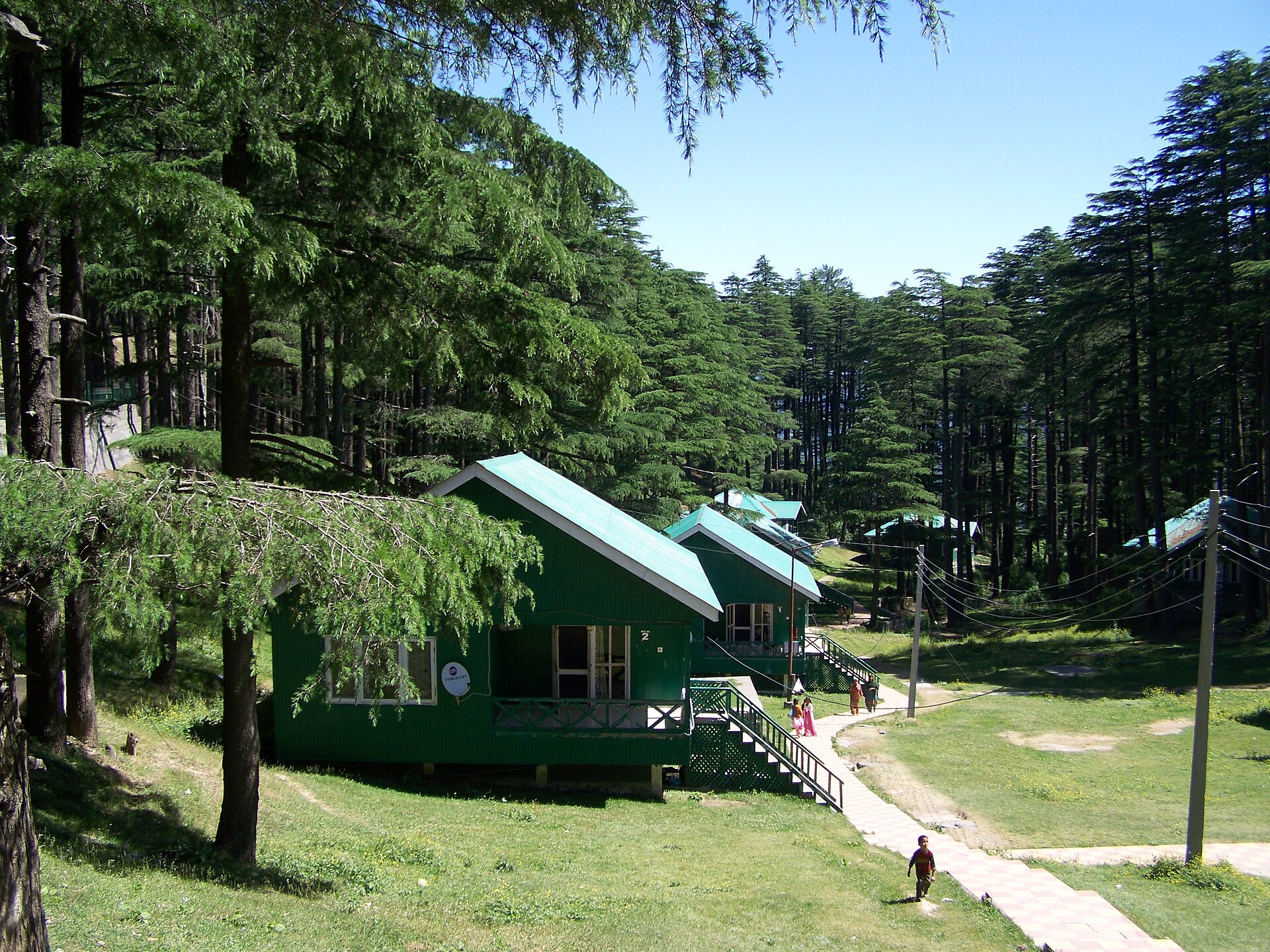
When you travel to Patnitop, you are traversing the Jammu district. It stays distinct from the Kashmir Valley by its vegetation—mostly cedar and pine forests—and its more laid-back, quiet pace compared to the bustling tourist hubs further north.
Why Patnitop is a Jammu Gem
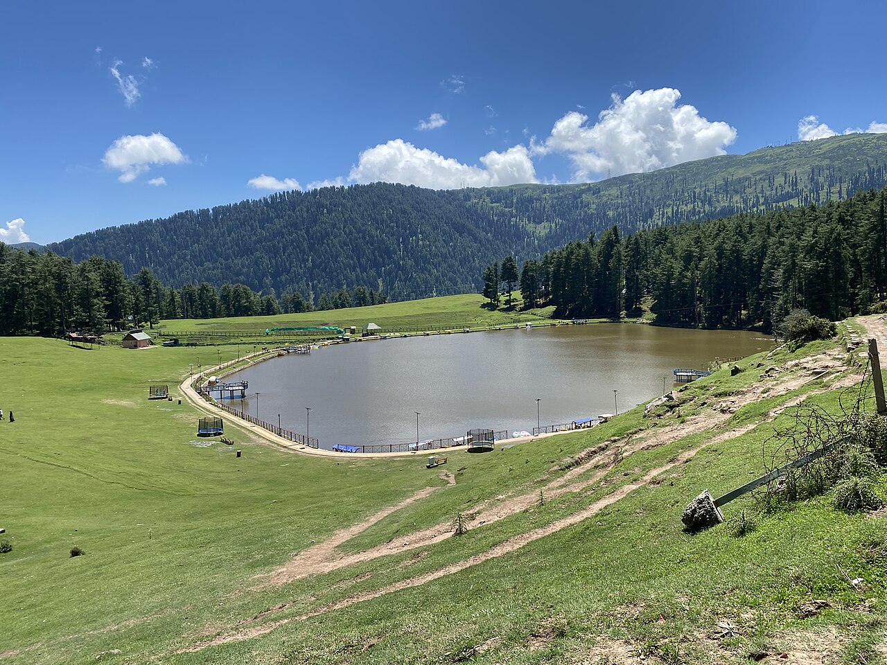
Patnitop is the go-to for those who want accessible mountain air without the six-hour drive through mountain passes required to reach the Kashmir Valley. It is essentially a high-altitude meadow that offers grand vistas of the Chenab basin.
We send many clients here for short breaks. The infrastructure is compact, meaning you can walk from the meadows to the local market in twenty minutes. It is less about 'sightseeing' and more about the quiet act of sitting on a ridge with a cup of tea.
Cultural and Scenic Characteristics
The culture here is a bridge. You will hear Dogri spoken alongside Hindi and English. The food leans heavily on local Rajmash Chawal and warm, thick breads, which differ slightly from the wazwan-heavy diet you find in the valley.
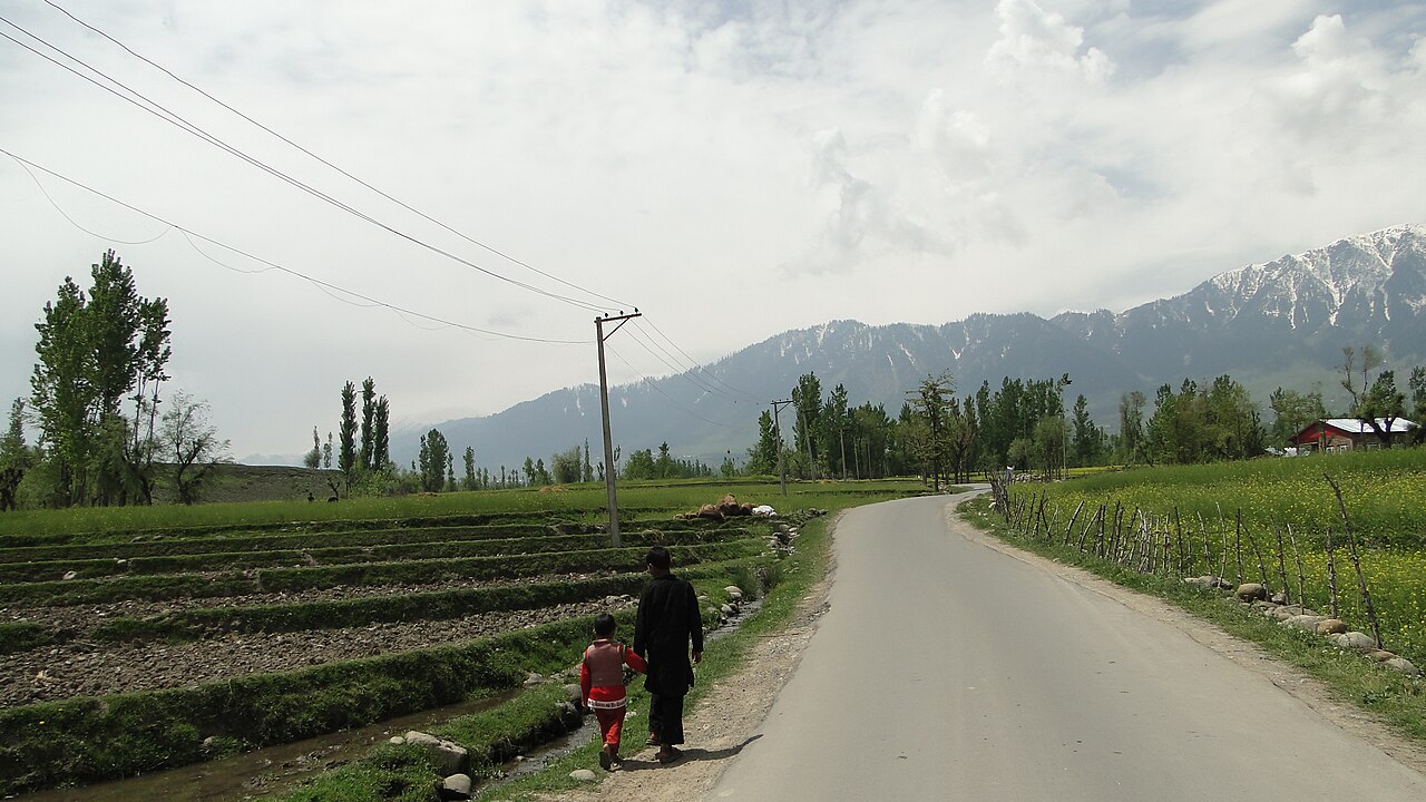
Scenically, the area is defined by the steep drop-offs into the Chenab valley. While Kashmir is a broad, flat valley surrounded by giants, Patnitop is a ridge-top town. The weather is unpredictable, but the pine-scented air remains consistent regardless of the month.
How it Differs from the Kashmir Valley
If you are looking for houseboats and saffron fields, you are heading to the wrong place. Patnitop is vertical and forested. The roads are narrower, and the atmosphere is intensely focused on the stillness of the cedar trees.
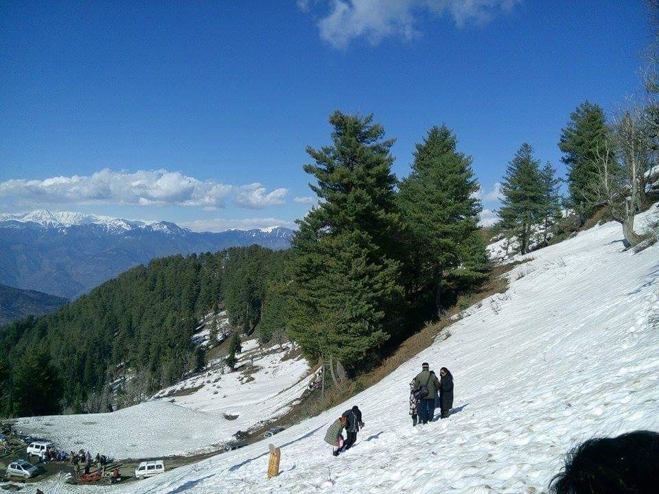
The winters here are snowy, turning the slopes into a small-scale adventure zone, but they lack the heavy tourist infrastructure found in Gulmarg. It is a place for people who want to avoid the crowds, not find the flashiest resort.
Why Travellers Visit Both on One Trip
Smart itineraries often start in Jammu, stop at Patnitop for two nights to acclimatise, and then move toward Srinagar. It breaks up the long drive from the plains and introduces you to the mountain ecosystem gradually.
Stopping here saves you from 'mountain fever' by allowing your lungs to adjust. You get the best of both worlds: the southern forests and the northern, snow-capped basins.
Planning Your Route Across the Region
The route from Jammu city to Patnitop takes about three to four hours. We recommend taking the bypass through the Chenani-Nashri tunnel to save time. From Patnitop, it is roughly a six-hour drive to reach the outskirts of Srinagar.
If you are moving further into the hills, consider a detour to Sanasar or Natha Top for better views. These are smaller, less developed, and offer a much truer look at the local life in the region.
Before you book
Whether you are just passing through or planning a dedicated trip to the hills, Patnitop offers a grounded, honest experience of the Jammu landscape. It is a place that rewards those who prefer quiet pine forests over crowded tourist streets.
If you need help mapping out your route or finding a quiet place to stay, reach out to us at Skywale. We help travellers navigate the logistics of the region every single day.
Need help with your Jammu route?
We specialise in planning itineraries that balance mountain rest with active exploration. Let us handle the transport and stay details.
Contact UsWritten by
Kashmir, Jammu & Ladakh specialists
We plan and run trips across Kashmir, Jammu and Ladakh every week of the year. Everything here comes from routes we drive, stays we inspect and questions our travellers actually ask.
Quick answers
Questions we get asked
Is Patnitop safe for families?
Yes, Patnitop is a popular family destination in Jammu. It is relatively compact, safe, and offers easy terrain for children compared to the more rugged treks found deeper in the Himalayas.
What is the best time to visit?
Late spring and autumn are ideal. However, winter is excellent if you want to see snow without the high-season crowds found in the main Kashmir tourist hubs.
Do I need a permit to visit?
No, there are no special permits required for Indian citizens to visit Patnitop. Standard identity documentation is sufficient for hotel check-ins throughout the region.
Can I reach Patnitop by train?
You can take a train to Udhampur or Jammu Tawi station, then hire a private taxi. There is no direct rail link to the town itself.
Is it better to stay in Patnitop or Sanasar?
Stay in Patnitop for convenience and access to restaurants. Choose Sanasar if you want deep quiet and proximity to adventure activities like paragliding.
Photography credits
- Photo: Jammu Tales · CC BY-SA 4.0
- Photo: Vikas Panwar · CC BY-SA 4.0
- Photo: Billyakhtar · CC BY-SA 4.0
- Photo: Its sumit sharma · CC BY-SA 4.0
- Photo: Rupali Kushwaha · CC BY 4.0
- Photo: Ankur P from Pune, India · CC BY-SA 2.0
- Photo: Sayanmodak · CC BY-SA 4.0